Isleton is a city in Sacramento County, California, United States. The population was 804 at the 2010 census, down from 828 at the 2000 census. It is located on Andrus Island amid the slough wetlands of the Sacramento-San Joaquin River Delta, on the eastern edge of the Rio Vista Gas Field. The city has many preserved 19th-century era storefronts along its main street, some of which show distinct Chinese influences.
Isleton is part of the Sacramento–Arden-Arcade–Roseville Metropolitan Statistical Area. California State Route 160 passes through the city and crosses the 1923 Isleton Bridge.
| Name: | Isleton city |
|---|---|
| LSAD Code: | 25 |
| LSAD Description: | city (suffix) |
| State: | California |
| County: | Sacramento County |
| Incorporated: | May 14, 1923 |
| Elevation: | 10 ft (3 m) |
| Total Area: | 0.49 sq mi (1.27 km²) |
| Land Area: | 0.44 sq mi (1.14 km²) |
| Water Area: | 0.05 sq mi (0.13 km²) 10.50% |
| Total Population: | 804 |
| Population Density: | 1,918.18/sq mi (741.27/km²) |
| ZIP code: | 95641 |
| Area code: | 916, 279 |
| FIPS code: | 0636882 |
| Website: | www.cityofisleton.com |
Online Interactive Map
Click on ![]() to view map in "full screen" mode.
to view map in "full screen" mode.
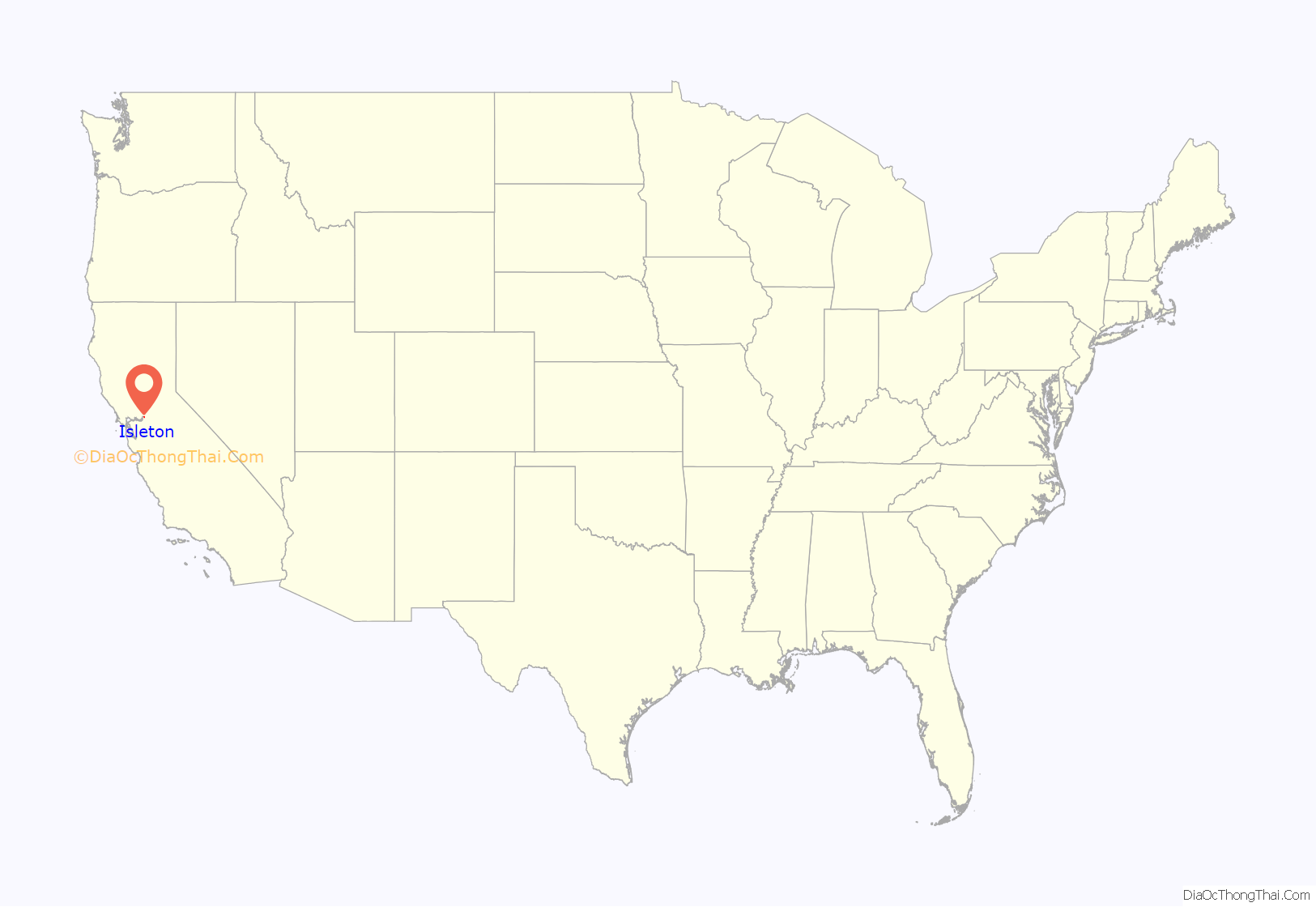
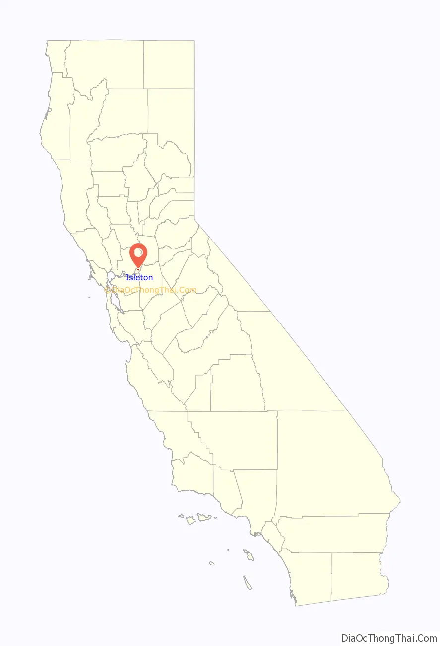
Isleton location map. Where is Isleton city?
History
Isleton was founded 1874 by Josiah Poole. After having the town platted, he constructed a wharf on the Sacramento River, and a booming town soon followed. However, Isleton was flooded in 1878 and 1881, causing Poole financial difficulties and leading him to move out. The town also flooded in 1890, 1907, and 1972. As agriculture in the surrounding area developed, three canneries opened up in Isleton and other delta towns. The cannery workforce was over 90 percent Asian.
The Hotel del Rio in Isleton was built in 1949. It contains one of California’s legal card rooms. This featured in the case of Novo vs. Hotel del Rio, decided 4 May 1956, reported in 141 C.A. 2nd, pg 304. This case created a stir because, although gambling debts are not enforceable at law, if money is lost that falls under California’s community property laws, it may be recovered if can be shown that permission was not given by the other spouse to gamble the money. The case attracted nationwide attention, and was used by Erle Stanley Gardner in his 1959 Perry Mason crime novel The Case of the Singing Skirt.
Chinese began immigrating to Isleton around 1875, and at its peak, the Chinese section of the city had about 1,500 people and included a branch of the Bing Kong Tong. The city also had a Japantown, just east of Chinatown. The Chinese and Japanese districts are in the National Register of Historic Places. (Actor Pat Morita was born in Isleton in 1932.)
As the canneries folded, the population started to decline, although it has started to rebound since 2010. Its economy was badly hit by the recession in 2007. In 2010, Isleton attempted to raise money by permitting a marijuana farm in return for a share of the profits, but it was abandoned after warnings from the U.S. Department of Justice. In 2012, the city lost its police department.
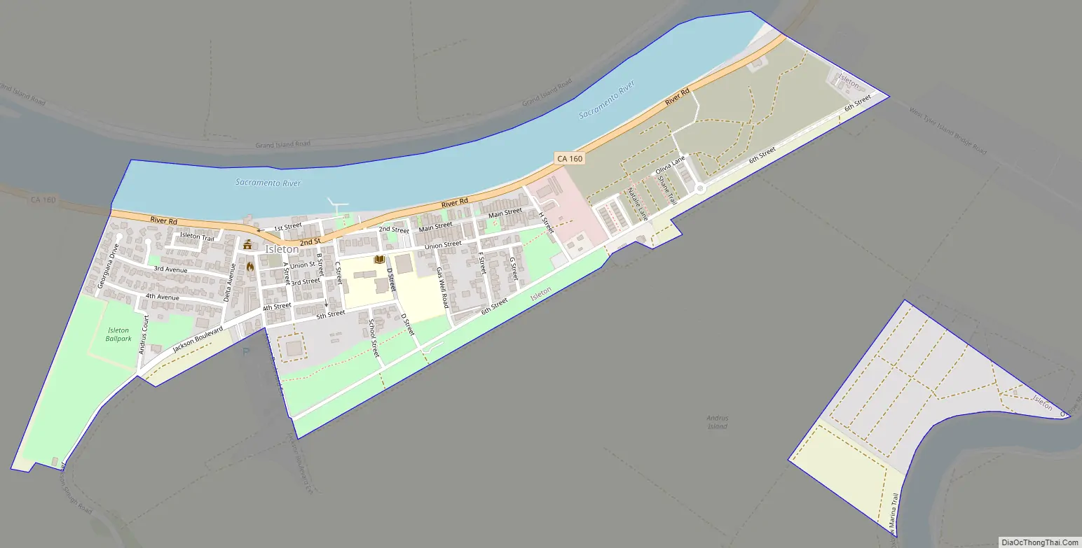
Isleton Road Map
Isleton city Satellite Map
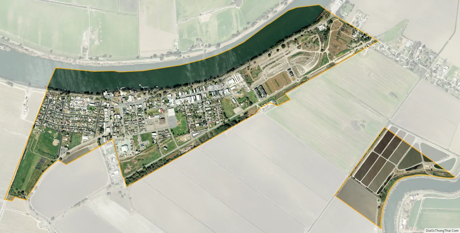
Geography
Isleton is located at 38°9′43″N 121°36′33″W / 38.16194°N 121.60917°W / 38.16194; -121.60917 (38.161861, -121.609269).
According to the United States Census Bureau, the city has a total area of 0.5 square miles (1.3 km), of which, 0.4 square miles (1.0 km) of it is land and 0.05 square miles (0.13 km) of it (10.50%) is water.
Climate
According to the Köppen Climate Classification system, Isleton has a warm-summer Mediterranean climate, abbreviated “Csa” on climate maps.
See also
Map of California State and its subdivision:- Alameda
- Alpine
- Amador
- Butte
- Calaveras
- Colusa
- Contra Costa
- Del Norte
- El Dorado
- Fresno
- Glenn
- Humboldt
- Imperial
- Inyo
- Kern
- Kings
- Lake
- Lassen
- Los Angeles
- Madera
- Marin
- Mariposa
- Mendocino
- Merced
- Modoc
- Mono
- Monterey
- Napa
- Nevada
- Orange
- Placer
- Plumas
- Riverside
- Sacramento
- San Benito
- San Bernardino
- San Diego
- San Francisco
- San Joaquin
- San Luis Obispo
- San Mateo
- Santa Barbara
- Santa Clara
- Santa Cruz
- Shasta
- Sierra
- Siskiyou
- Solano
- Sonoma
- Stanislaus
- Sutter
- Tehama
- Trinity
- Tulare
- Tuolumne
- Ventura
- Yolo
- Yuba
- Alabama
- Alaska
- Arizona
- Arkansas
- California
- Colorado
- Connecticut
- Delaware
- District of Columbia
- Florida
- Georgia
- Hawaii
- Idaho
- Illinois
- Indiana
- Iowa
- Kansas
- Kentucky
- Louisiana
- Maine
- Maryland
- Massachusetts
- Michigan
- Minnesota
- Mississippi
- Missouri
- Montana
- Nebraska
- Nevada
- New Hampshire
- New Jersey
- New Mexico
- New York
- North Carolina
- North Dakota
- Ohio
- Oklahoma
- Oregon
- Pennsylvania
- Rhode Island
- South Carolina
- South Dakota
- Tennessee
- Texas
- Utah
- Vermont
- Virginia
- Washington
- West Virginia
- Wisconsin
- Wyoming


