Keene (formerly, Wells) is a census-designated place (CDP) in Kern County, California in the foothills of the Tehachapi Mountains at the southern extreme of the San Joaquin Valley. Keene is located 8.5 miles (14 km) northwest of Tehachapi, at an elevation of 2,602 feet (793 m). The population was 469 at the 2020 census, up from 431 at the 2010 census.
The headquarters of the United Farm Workers (UFW), a national farmworkers organization organized and led by Cesar Chavez, is located in Keene, and is sometimes referred to as “Nuestra Señora Reina de La Paz” (“Our Lady Queen of Peace”).
Keene is located in the greater Tehachapi area.
| Name: | Keene CDP |
|---|---|
| LSAD Code: | 57 |
| LSAD Description: | CDP (suffix) |
| State: | California |
| County: | Kern County |
| Elevation: | 2,602 ft (793 m) |
| Total Area: | 9.665 sq mi (25.034 km²) |
| Land Area: | 9.660 sq mi (25.020 km²) |
| Water Area: | 0.005 sq mi (0.014 km²) 0.056% |
| Total Population: | 431 |
| Population Density: | 45/sq mi (17/km²) |
| ZIP code: | 93531 |
| Area code: | 661 |
| FIPS code: | 0637946 |
| GNISfeature ID: | 1660828 |
Online Interactive Map
Click on ![]() to view map in "full screen" mode.
to view map in "full screen" mode.
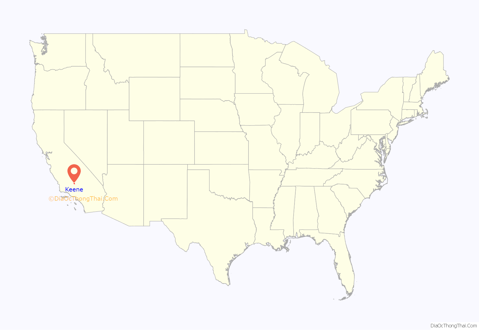
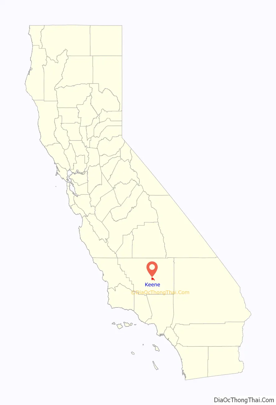
Keene location map. Where is Keene CDP?
History
The Keene post office opened in 1879, closed in 1881, and re-opened in 1885. Keene was founded in 1876 with the name Wells as a railroad town. The name Wells honored Madison P. Wells, a local rancher. The town was renamed Keene in honor of James P. Keene, a financier.
César Chávez
The UFW moved its national headquarters to Keene from Delano, California. César Chávez spent his last years in Keene. The walls of his United Farm Workers office in Keene were lined with hundreds of books ranging in subject from philosophy, economics, cooperatives, and unions, to biographies of Gandhi, the Kennedys, and Che Guevara. He is buried at 29700 Woodford Tehachapi Rd, Keene, CA 93531, on the campus of the UFW headquarters.
The National Chavez Center was opened on the UFW campus in 2004 by the Cesar E. Chavez Foundation. It currently consists of a visitor center, memorial garden and the grave site of the civil rights leader. When it is fully completed, the 187-acre (0.76 km) site will include a museum and conference center to explore and share Chávez’s work. A two-acre parcel of the site was designated as César E. Chávez National Monument on October 8, 2012.
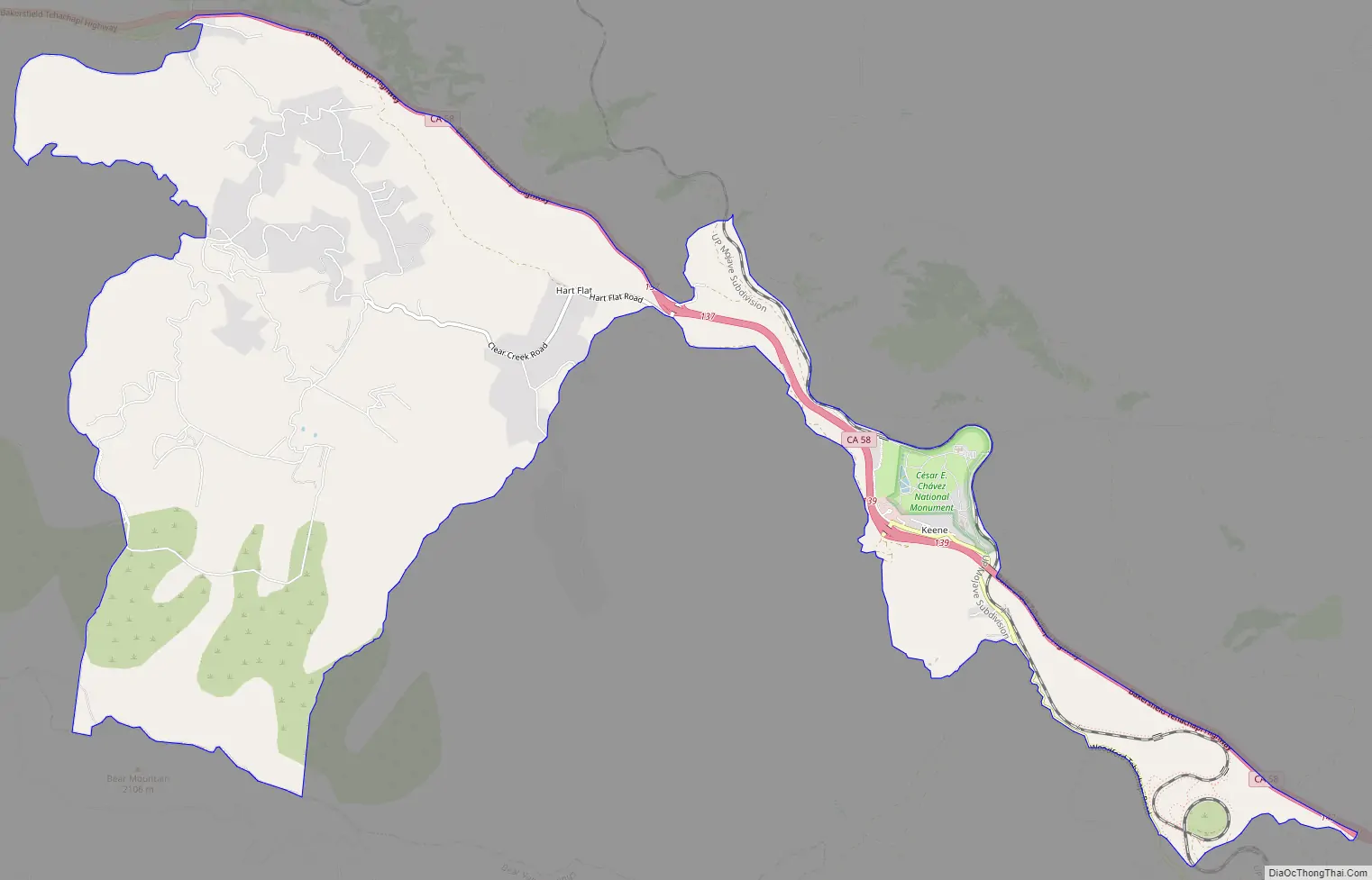
Keene Road Map
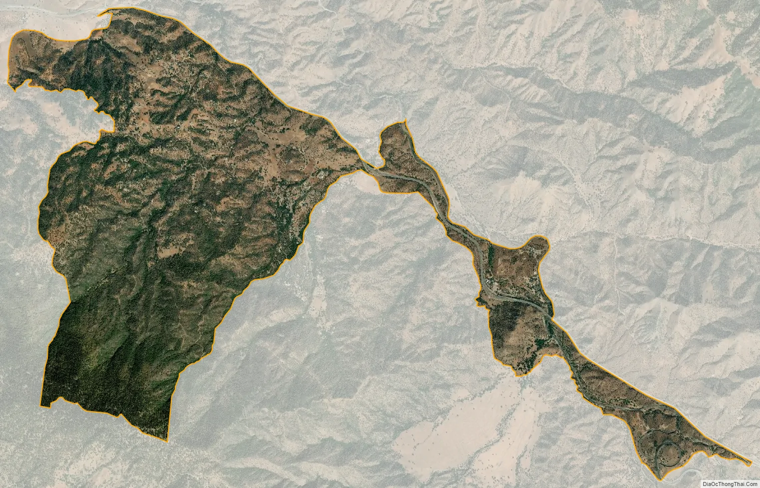
Keene city Satellite Map
Geography
Keene is located at 35°13′25″N 118°33′44″W / 35.22361°N 118.56222°W / 35.22361; -118.56222.
According to the United States Census Bureau, the CDP has a total area of 9.7 square miles (25 km), over 99% of it land.
Climate
Keene is categorized as being within the 8b USDA hardiness zone, meaning temperatures can get as low as 15 to 20 °F.
See also
Map of California State and its subdivision:- Alameda
- Alpine
- Amador
- Butte
- Calaveras
- Colusa
- Contra Costa
- Del Norte
- El Dorado
- Fresno
- Glenn
- Humboldt
- Imperial
- Inyo
- Kern
- Kings
- Lake
- Lassen
- Los Angeles
- Madera
- Marin
- Mariposa
- Mendocino
- Merced
- Modoc
- Mono
- Monterey
- Napa
- Nevada
- Orange
- Placer
- Plumas
- Riverside
- Sacramento
- San Benito
- San Bernardino
- San Diego
- San Francisco
- San Joaquin
- San Luis Obispo
- San Mateo
- Santa Barbara
- Santa Clara
- Santa Cruz
- Shasta
- Sierra
- Siskiyou
- Solano
- Sonoma
- Stanislaus
- Sutter
- Tehama
- Trinity
- Tulare
- Tuolumne
- Ventura
- Yolo
- Yuba
- Alabama
- Alaska
- Arizona
- Arkansas
- California
- Colorado
- Connecticut
- Delaware
- District of Columbia
- Florida
- Georgia
- Hawaii
- Idaho
- Illinois
- Indiana
- Iowa
- Kansas
- Kentucky
- Louisiana
- Maine
- Maryland
- Massachusetts
- Michigan
- Minnesota
- Mississippi
- Missouri
- Montana
- Nebraska
- Nevada
- New Hampshire
- New Jersey
- New Mexico
- New York
- North Carolina
- North Dakota
- Ohio
- Oklahoma
- Oregon
- Pennsylvania
- Rhode Island
- South Carolina
- South Dakota
- Tennessee
- Texas
- Utah
- Vermont
- Virginia
- Washington
- West Virginia
- Wisconsin
- Wyoming


