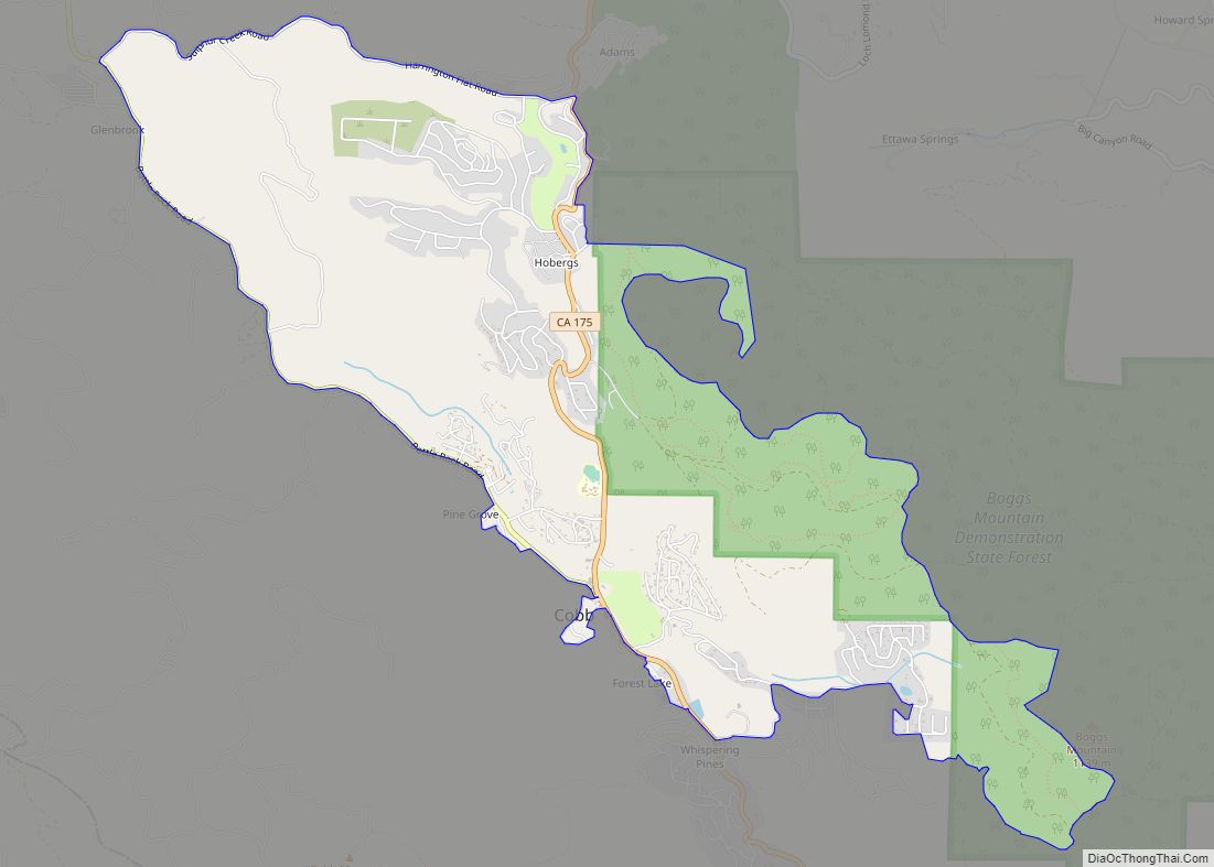
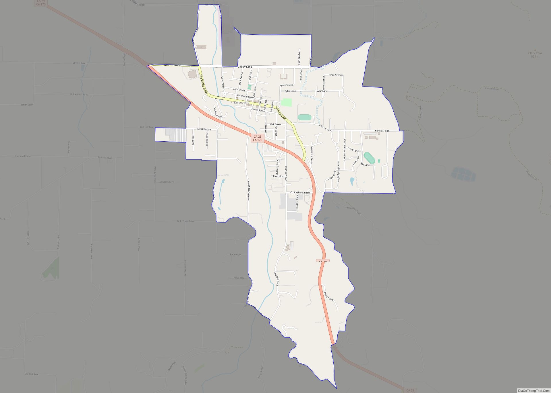
Kelseyville is a census-designated place (CDP) in Lake County, California, United States. Kelseyville is located six miles (9.7 kilometers) southeast of Lakeport, at an elevation of 1,384 feet (422 meters). The population was 3,353 at the 2010 census, up from 2,928 at the 2000 census.
| Name: | Kelseyville CDP |
|---|---|
| LSAD Code: | 57 |
| LSAD Description: | CDP (suffix) |
| State: | California |
| County: | Lake County |
| Elevation: | 1,384 ft (422 m) |
| Total Area: | 2.891 sq mi (7.487 km²) |
| Land Area: | 2.885 sq mi (7.472 km²) |
| Water Area: | 0.006 sq mi (0.015 km²) 0.20% |
| Total Population: | 3,382 |
| Population Density: | 1,200/sq mi (450/km²) |
| ZIP code: | 95451 |
| Area code: | 707 |
| FIPS code: | 0638044 |
| GNISfeature ID: | 0277532 |
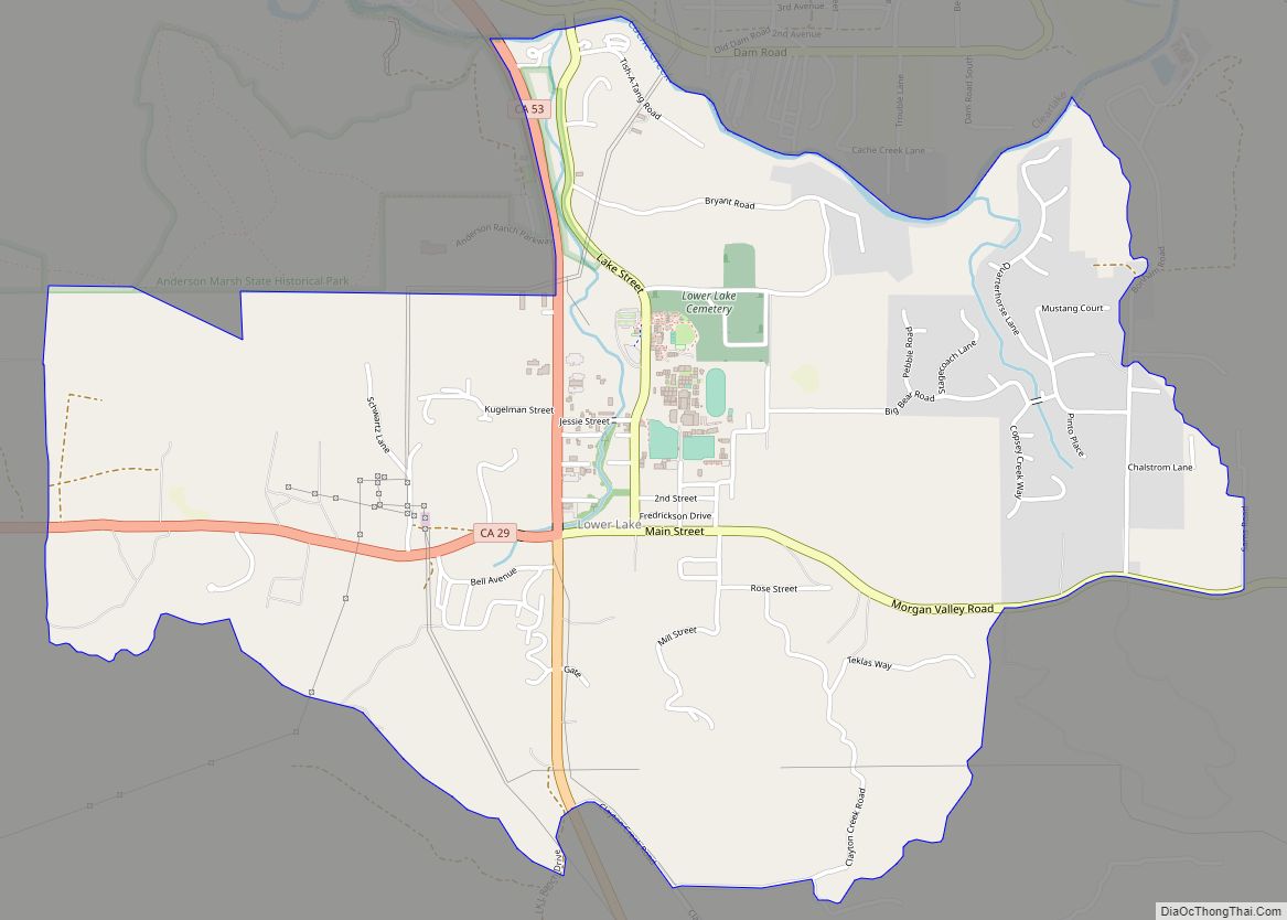
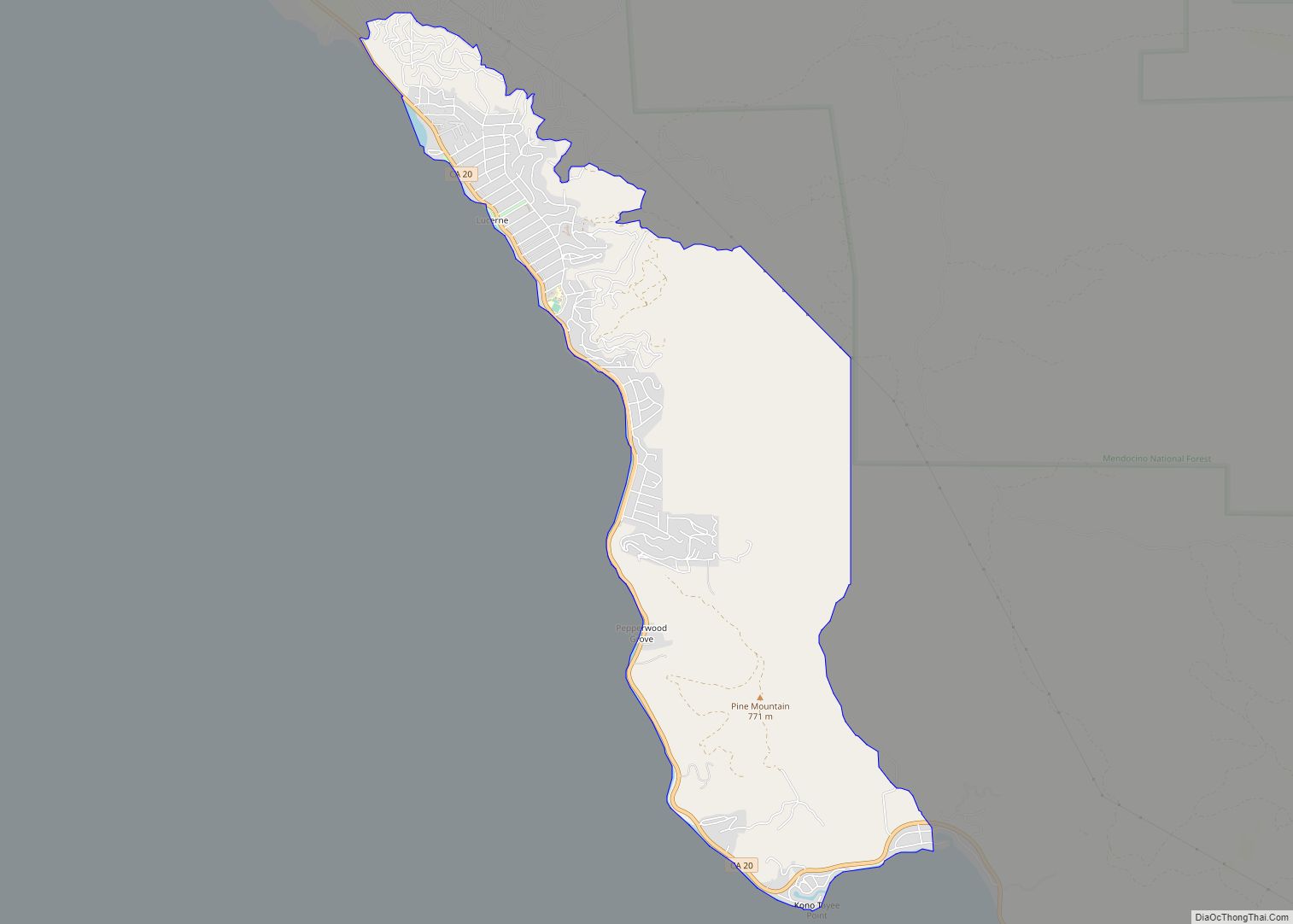
Online Interactive Map
Click on ![]() to view map in "full screen" mode.
to view map in "full screen" mode.
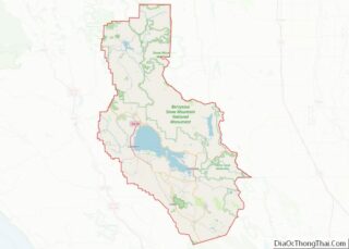
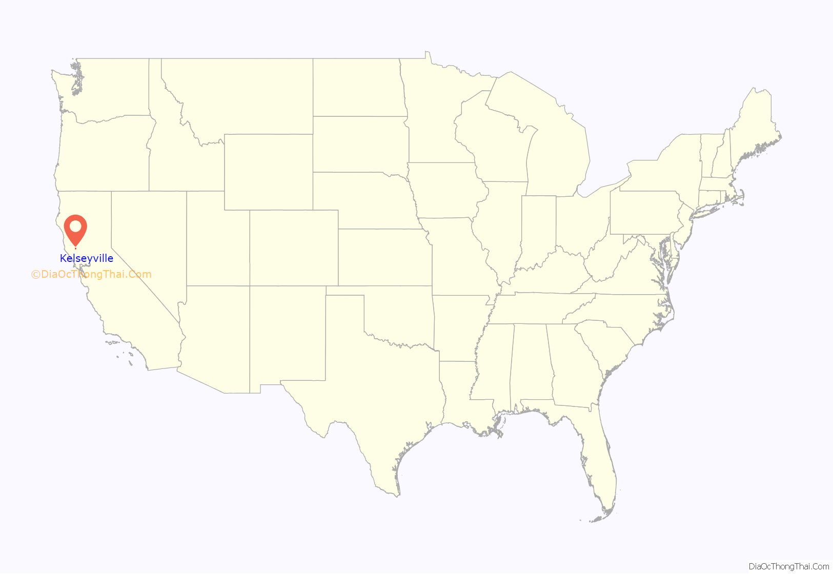
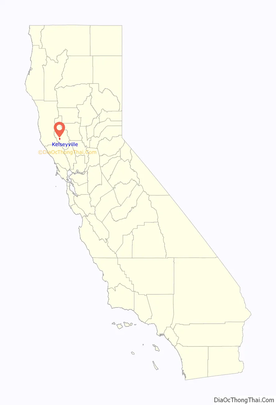
Kelseyville location map. Where is Kelseyville CDP?
History
In the centuries before Europeans arrived, the Eastern Pomo and Clear Lake Wappo people lived along the shores of Clear Lake. In addition to the plentiful fish caught in the lake and streams, they hunted waterfowl and gathered berries, seeds, clover and acorn. The Pomo and Wappo built homes and canoes of tule reeds found at the lakeshore. Charles Stone and Andrew Kelsey were reportedly the first Anglo-American colonists in the region arriving in the fall of 1847 to graze cattle and horses purchased from Mexican landholder Salvador Vallejo. This was known as Big Valley Ranch. Stone and Kelsey enslaved the Pomo and Wappo people, forcing them to work under threat of torture and death. Many native people died of starvation and neglect. Stone and Kelsey were also known to rape native women and girls. Kelseyville became the first white settlement in Lake County. The first blacksmith shop was opened by a blacksmith named Benham in 1857. It was not until 1864 that a second business was opened, a store owned by T. F. Fall. That same year, another general store and a boarding house was opened by Rosenbreau and Pace.
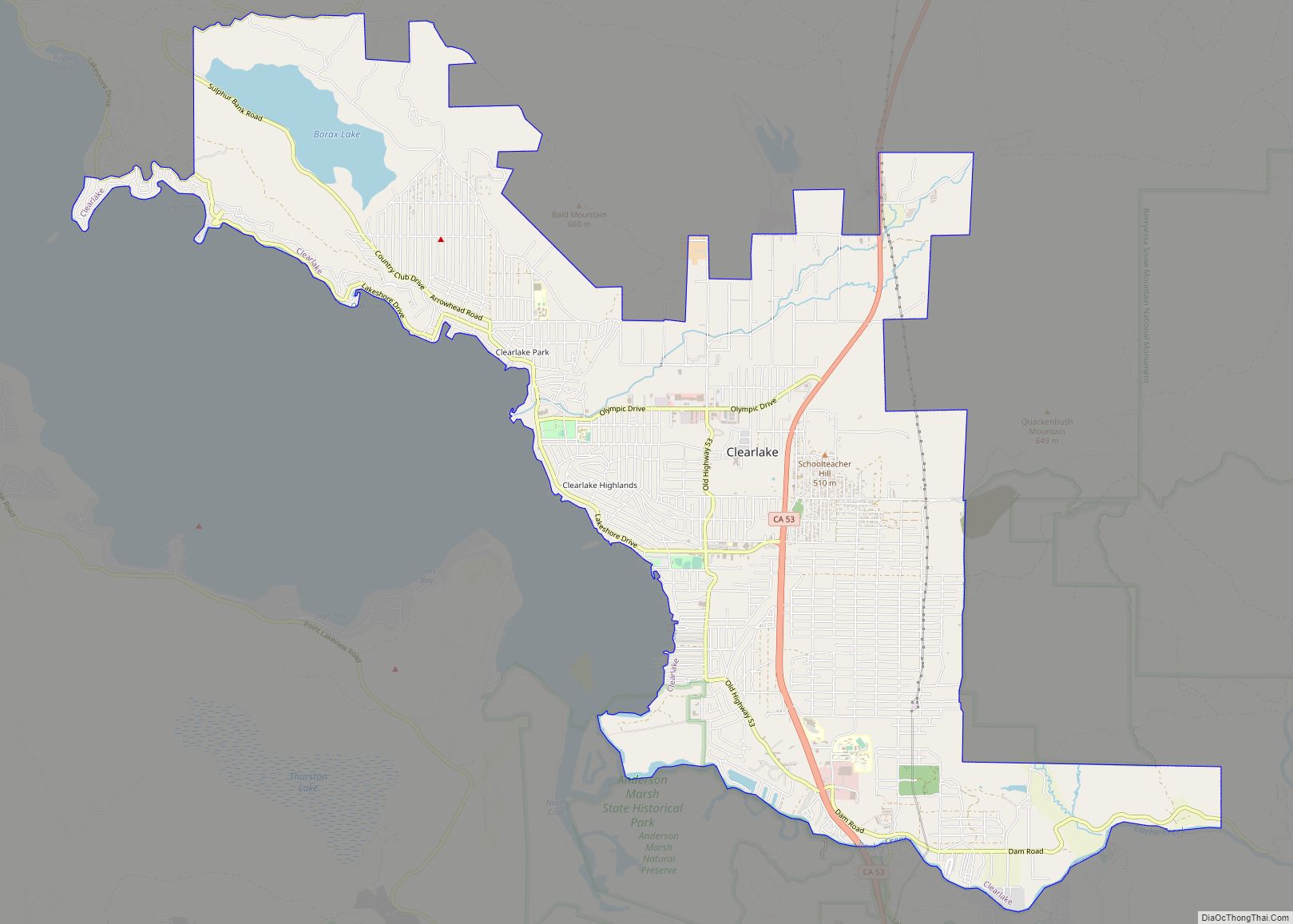
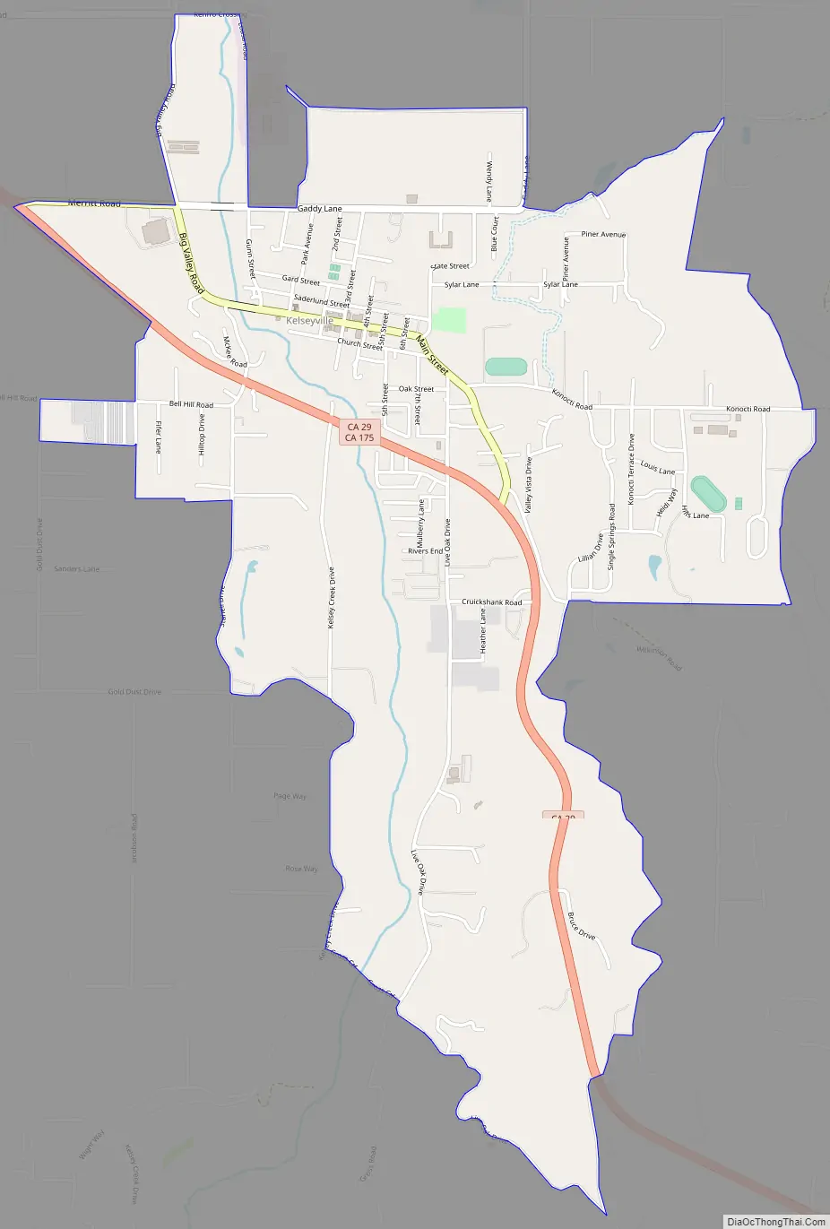
Kelseyville Road Map
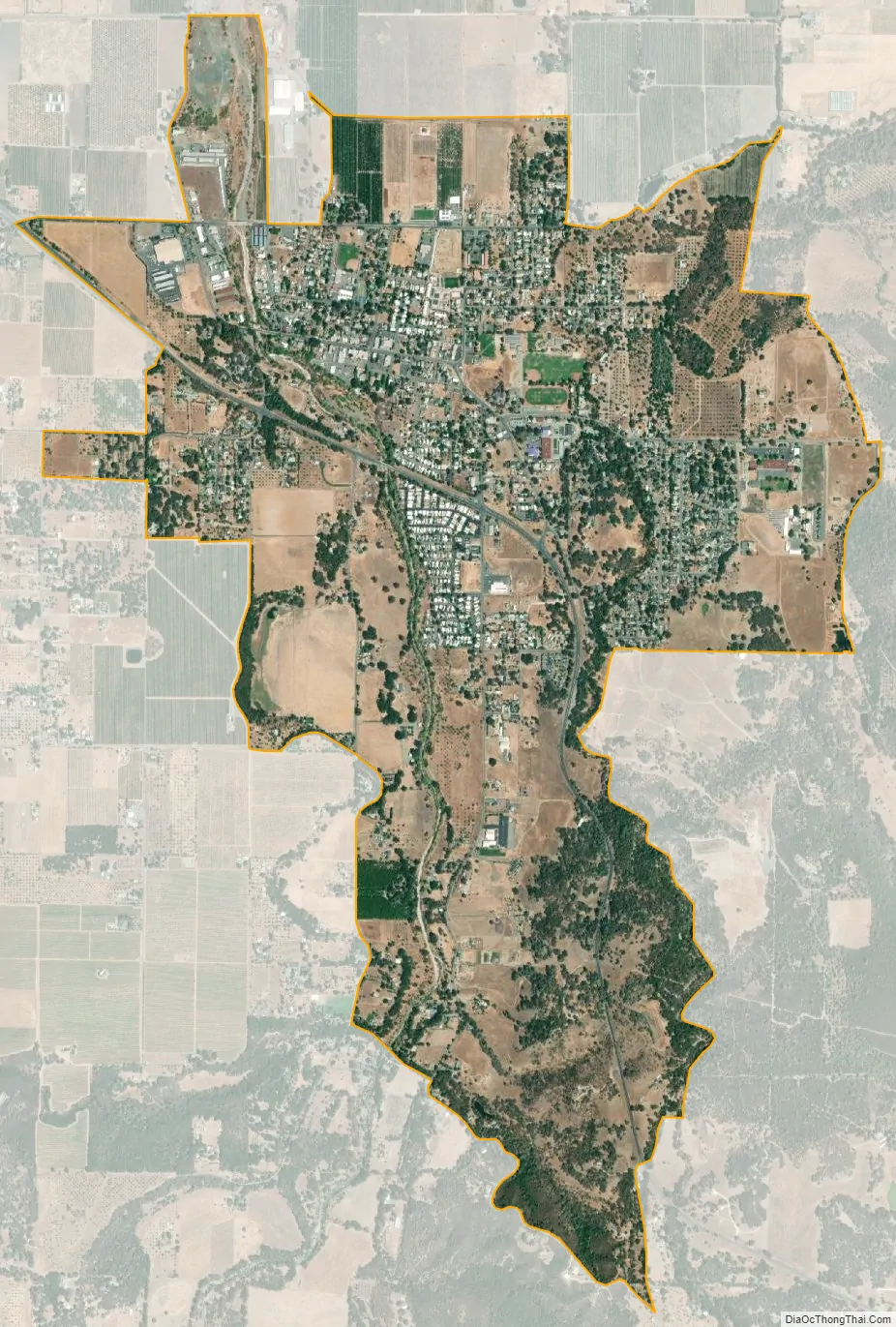
Kelseyville city Satellite Map
Geography
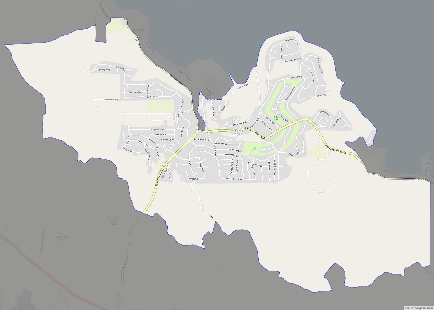
According to the United States Census Bureau, the CDP has a total area of 2.9 square miles (7.5 square kilometers), with over 99 percent of it being land. The census district also includes Soda Bay and Riviera Heights, located on the northern slope of Mt. Konocti.
See also
Map of California State and its subdivision:- Alameda
- Alpine
- Amador
- Butte
- Calaveras
- Colusa
- Contra Costa
- Del Norte
- El Dorado
- Fresno
- Glenn
- Humboldt
- Imperial
- Inyo
- Kern
- Kings
- Lake
- Lassen
- Los Angeles
- Madera
- Marin
- Mariposa
- Mendocino
- Merced
- Modoc
- Mono
- Monterey
- Napa
- Nevada
- Orange
- Placer
- Plumas
- Riverside
- Sacramento
- San Benito
- San Bernardino
- San Diego
- San Francisco
- San Joaquin
- San Luis Obispo
- San Mateo
- Santa Barbara
- Santa Clara
- Santa Cruz
- Shasta
- Sierra
- Siskiyou
- Solano
- Sonoma
- Stanislaus
- Sutter
- Tehama
- Trinity
- Tulare
- Tuolumne
- Ventura
- Yolo
- Yuba
- Alabama
- Alaska
- Arizona
- Arkansas
- California
- Colorado
- Connecticut
- Delaware
- District of Columbia
- Florida
- Georgia
- Hawaii
- Idaho
- Illinois
- Indiana
- Iowa
- Kansas
- Kentucky
- Louisiana
- Maine
- Maryland
- Massachusetts
- Michigan
- Minnesota
- Mississippi
- Missouri
- Montana
- Nebraska
- Nevada
- New Hampshire
- New Jersey
- New Mexico
- New York
- North Carolina
- North Dakota
- Ohio
- Oklahoma
- Oregon
- Pennsylvania
- Rhode Island
- South Carolina
- South Dakota
- Tennessee
- Texas
- Utah
- Vermont
- Virginia
- Washington
- West Virginia
- Wisconsin
- Wyoming