La Habra Heights is a city in Los Angeles County, California, United States. The population was 5,325 at the 2010 census, down from 5,712 at the 2000 census. La Habra Heights is a suburban canyon community located on the border of Orange and Los Angeles counties. The zoning is 1-acre (4,000 m) lots with a variety of home and ranch style properties. La Habra Heights features open space and there are no sidewalks in the community. La Habra Heights has no commercial activity (stores, gas stations) with the exception of a small real estate office, a plant nursery, a private golf course and numerous home-based businesses. Hacienda Park is the main park in the city and runs along Hacienda Road. A related city, La Habra, is located south of La Habra Heights and is in Orange County.
| Name: | La Habra Heights city |
|---|---|
| LSAD Code: | 25 |
| LSAD Description: | city (suffix) |
| State: | California |
| County: | Los Angeles County |
| Incorporated: | December 4, 1978 |
| Elevation: | 738 ft (225 m) |
| Total Area: | 6.16 sq mi (15.96 km²) |
| Land Area: | 6.16 sq mi (15.95 km²) |
| Water Area: | 0.00 sq mi (0.00 km²) 0.05% |
| Total Population: | 5,325 |
| Population Density: | 1,054.07/sq mi (406.95/km²) |
| ZIP code: | 90631 |
| Area code: | 562 |
| FIPS code: | 0639304 |
| Website: | www.lhhcity.org |
Online Interactive Map
Click on ![]() to view map in "full screen" mode.
to view map in "full screen" mode.
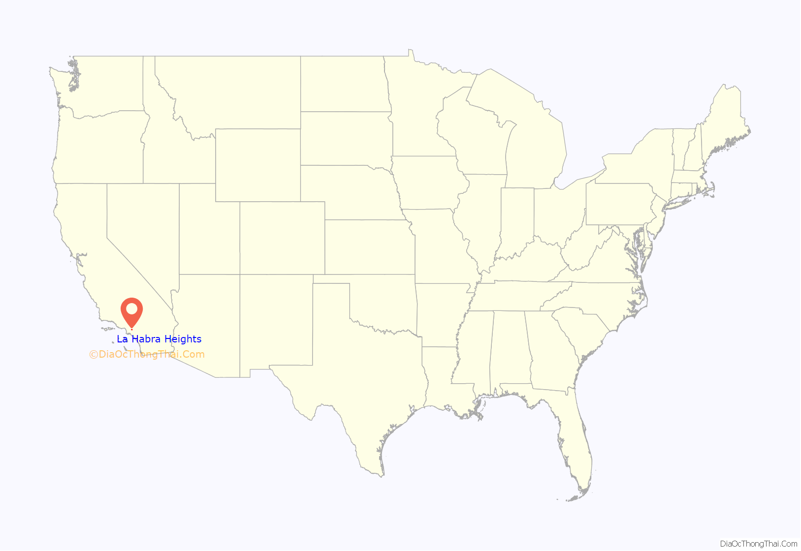
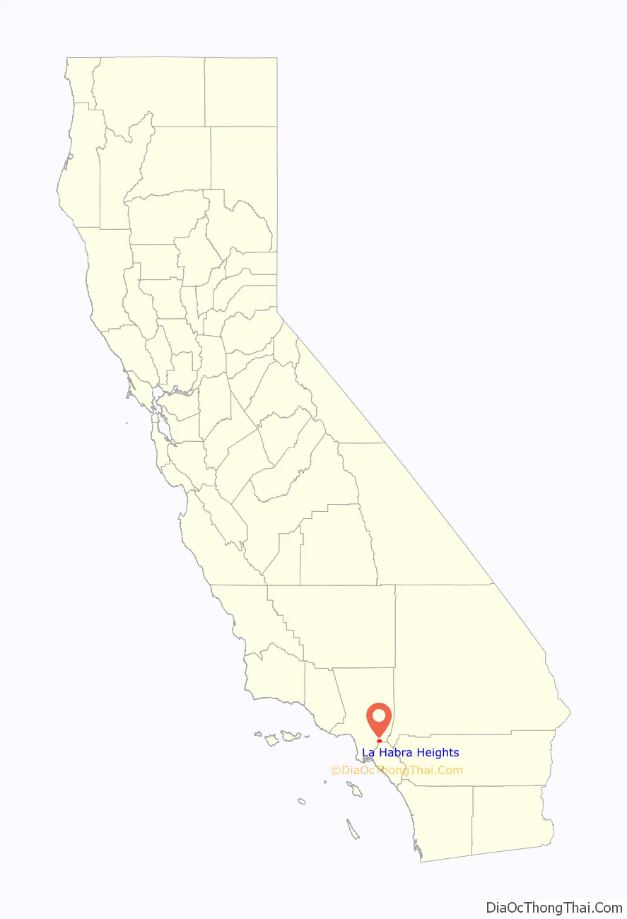
La Habra Heights location map. Where is La Habra Heights city?
History
La Habra Heights is located on the 1839 Rancho La Habra Mexican land grant made to Mariano Reyes Roldan. Roldan sold to rancho to Andres Pico who sold it to Abel Stearns. In 1900, Willits J. Hole acquired 3,500 acres (14.2 km), which he sold in 1919 to Edwin G. Hart, who developed La Habra Heights.
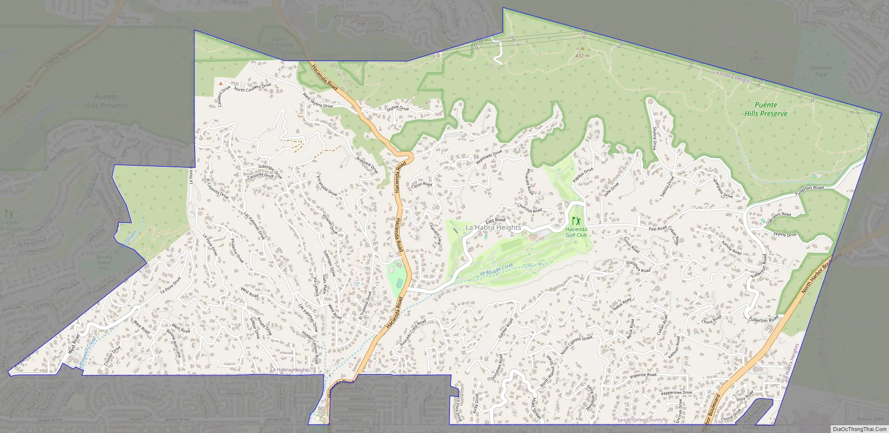
La Habra Heights Road Map
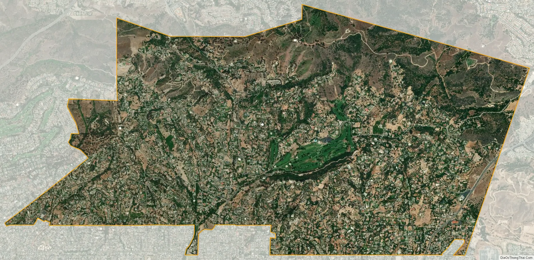
La Habra Heights city Satellite Map
Geography
La Habra Heights is located at 33°57′50″N 117°57′10″W / 33.96389°N 117.95278°W / 33.96389; -117.95278 (33.964012, -117.952837).
According to the United States Census Bureau, the city has a total area of 6.2 square miles (16 km), over 99% of it land.
Climate
According to the Köppen Climate Classification system, La Habra Heights has a warm-summer Mediterranean climate, abbreviated “Csa” on climate maps.
See also
Map of California State and its subdivision:- Alameda
- Alpine
- Amador
- Butte
- Calaveras
- Colusa
- Contra Costa
- Del Norte
- El Dorado
- Fresno
- Glenn
- Humboldt
- Imperial
- Inyo
- Kern
- Kings
- Lake
- Lassen
- Los Angeles
- Madera
- Marin
- Mariposa
- Mendocino
- Merced
- Modoc
- Mono
- Monterey
- Napa
- Nevada
- Orange
- Placer
- Plumas
- Riverside
- Sacramento
- San Benito
- San Bernardino
- San Diego
- San Francisco
- San Joaquin
- San Luis Obispo
- San Mateo
- Santa Barbara
- Santa Clara
- Santa Cruz
- Shasta
- Sierra
- Siskiyou
- Solano
- Sonoma
- Stanislaus
- Sutter
- Tehama
- Trinity
- Tulare
- Tuolumne
- Ventura
- Yolo
- Yuba
- Alabama
- Alaska
- Arizona
- Arkansas
- California
- Colorado
- Connecticut
- Delaware
- District of Columbia
- Florida
- Georgia
- Hawaii
- Idaho
- Illinois
- Indiana
- Iowa
- Kansas
- Kentucky
- Louisiana
- Maine
- Maryland
- Massachusetts
- Michigan
- Minnesota
- Mississippi
- Missouri
- Montana
- Nebraska
- Nevada
- New Hampshire
- New Jersey
- New Mexico
- New York
- North Carolina
- North Dakota
- Ohio
- Oklahoma
- Oregon
- Pennsylvania
- Rhode Island
- South Carolina
- South Dakota
- Tennessee
- Texas
- Utah
- Vermont
- Virginia
- Washington
- West Virginia
- Wisconsin
- Wyoming


