La Puente (Spanish for “The Bridge”) is a city in Los Angeles County, California, United States. The city had a population of 39,816 at the 2010 census and is approximately 20 miles (32 km) east of downtown Los Angeles.
| Name: | La Puente city |
|---|---|
| LSAD Code: | 25 |
| LSAD Description: | city (suffix) |
| State: | California |
| County: | Los Angeles County |
| Incorporated: | August 1, 1956 |
| Elevation: | 351 ft (107 m) |
| Total Area: | 3.48 sq mi (9.01 km²) |
| Land Area: | 3.48 sq mi (9.01 km²) |
| Water Area: | 0.00 sq mi (0.00 km²) 0.02% |
| Total Population: | 39,816 |
| Population Density: | 11,386.61/sq mi (4,396.64/km²) |
| ZIP code: | 91744-91749 |
| Area code: | 626 |
| FIPS code: | 0640340 |
| Website: | www.lapuente.org |
Online Interactive Map
Click on ![]() to view map in "full screen" mode.
to view map in "full screen" mode.
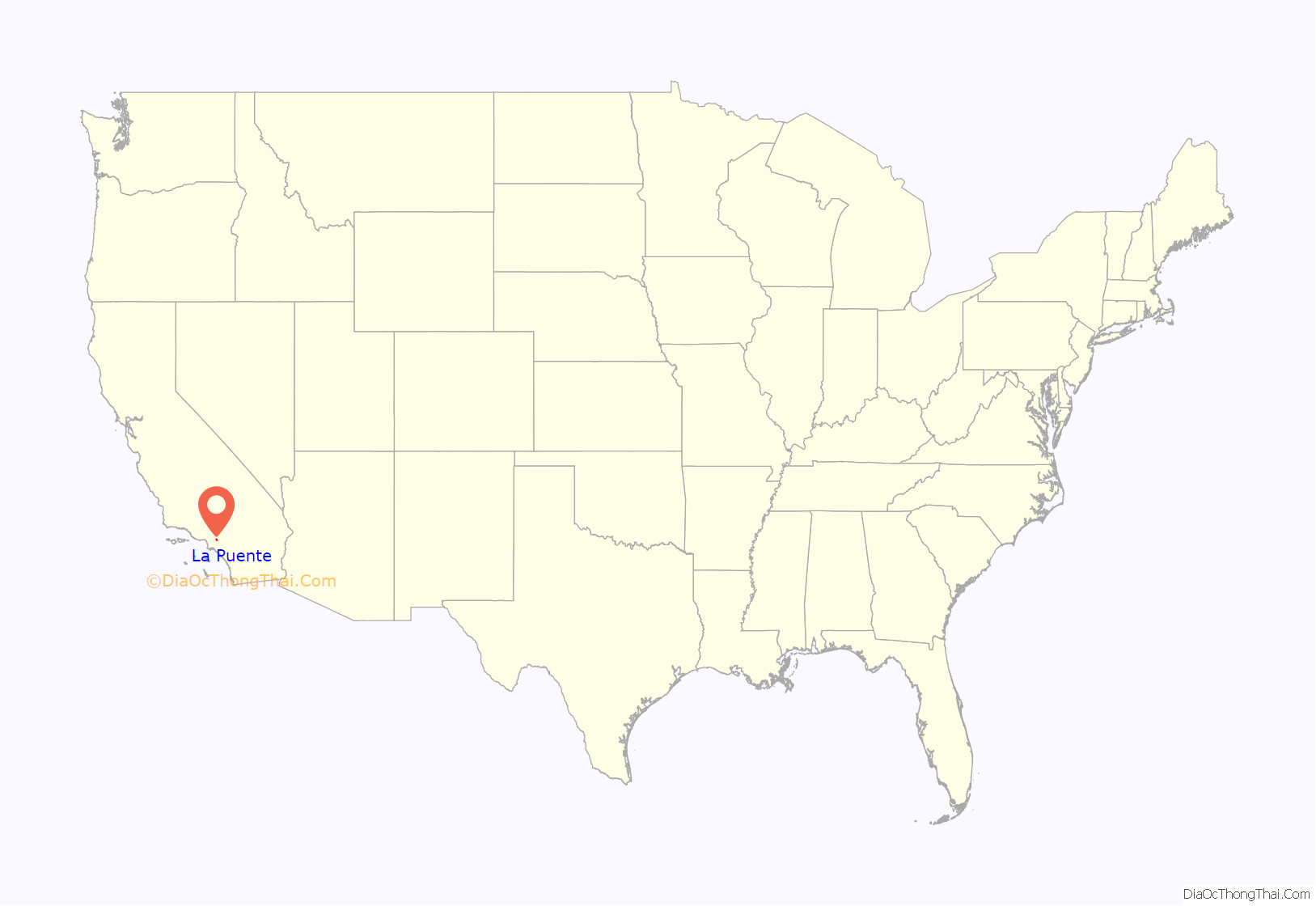
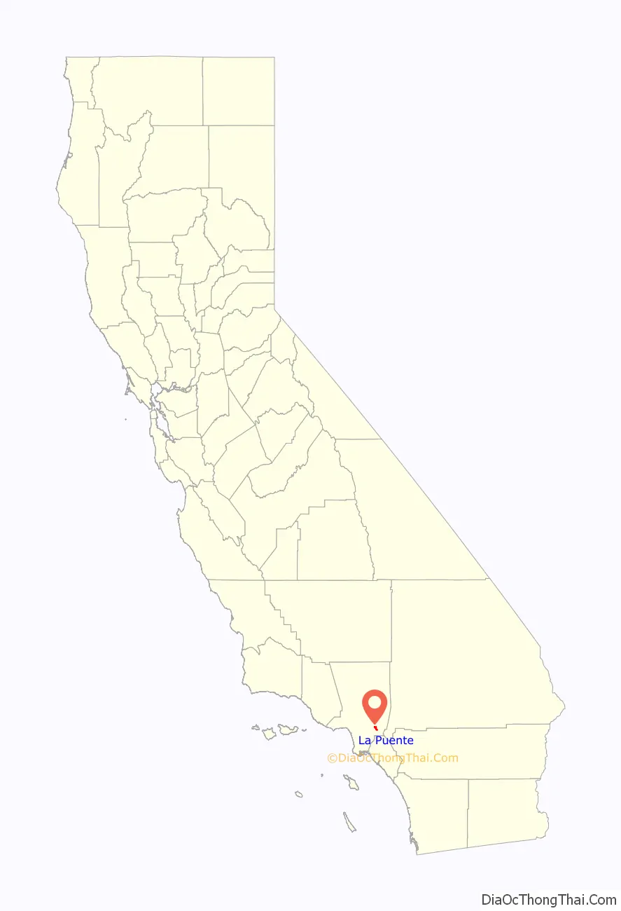
La Puente location map. Where is La Puente city?
History
The original inhabitants of the area now occupied by the city of La Puente were the Tongva lived in a village called Awingna, which linguists translate as “abiding place.” The Awingna chief Matheo (who also held sway over several other nearby villages) was baptized at Mission San Gabriel in 1774.
In 1769, the Spanish Portolá expedition became the first Europeans to see inland portions of Alta California. On July 30, the party camped on the east side of the San Gabriel River, in today’s unincorporated area of Bassett. Father Juan Crespi wrote in his diary that, the next day, they had to build a bridge (Spanish “puente”) to cross the miry San Gabriel River.
With the establishment of Mission San Gabriel, the area encompassing Awingna and what is now the city of La Puente became part of Rancho La Puente, established as a mission outpost and ranch. The rancho was visited by the Jedediah Smith party in November 1826, the first Americans to travel overland to California.
Following secularization of the missions in the 1830s, former mission ranchos passed into private ownership. In 1842, John Rowland and William Workman were granted the 48,000-acre (190 km) Rancho La Puente. In 1884, the area was named Puente (bridge in Spanish; in old Spanish the noun was often feminine, as opposed to modern Spanish el puente). In Crespi’s diary, it’s written as “la puente”, and that spelling has persisted.
The area was known for its fruit and walnut groves during the 1930s. The city was even home to the world’s largest walnut packing plant. A small airport called the ‘Skyranch’ operated in La Puente from 1944 to 1951 before it was closed and developed for housing. Today, the city is heavily urbanized, but the area still has some historical landmarks from its founding days nearby, for instance, the Workman and Temple Family Homestead Museum in neighboring City of Industry.
Redevelopment of the business districts in La Puente have been ongoing. However, the local government has been relatively unsuccessful in its attempts to attract big-box retailers and restaurant chains. La Puente retains many aging 1950s-era strip malls.
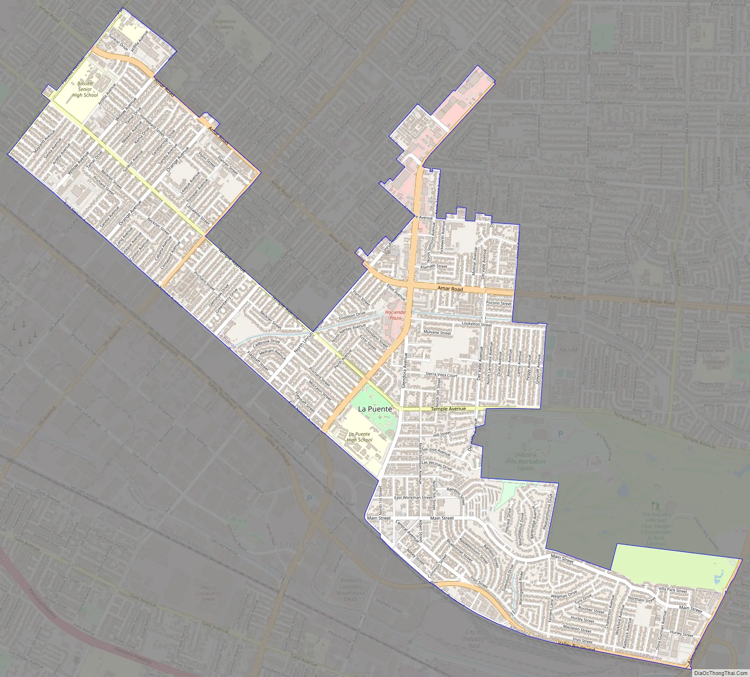
La Puente Road Map
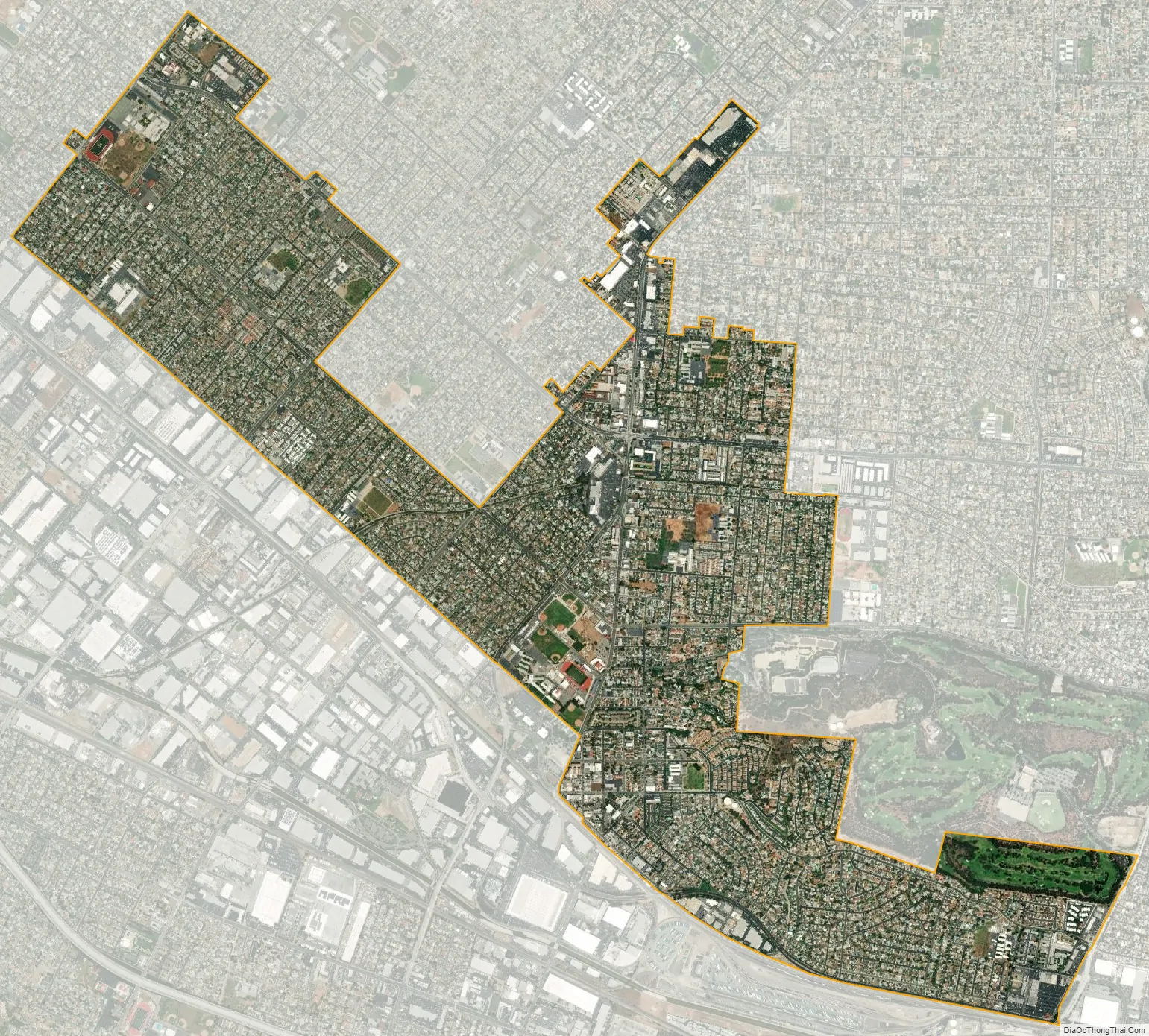
La Puente city Satellite Map
Geography
La Puente is located at 34°1′57″N 117°57′19″W / 34.03250°N 117.95528°W / 34.03250; -117.95528 (34.032410, -117.955195). The city, which is mostly flat, covers about 3.5 square miles (9.1 km) of land in the San Gabriel Valley.
See also
Map of California State and its subdivision:- Alameda
- Alpine
- Amador
- Butte
- Calaveras
- Colusa
- Contra Costa
- Del Norte
- El Dorado
- Fresno
- Glenn
- Humboldt
- Imperial
- Inyo
- Kern
- Kings
- Lake
- Lassen
- Los Angeles
- Madera
- Marin
- Mariposa
- Mendocino
- Merced
- Modoc
- Mono
- Monterey
- Napa
- Nevada
- Orange
- Placer
- Plumas
- Riverside
- Sacramento
- San Benito
- San Bernardino
- San Diego
- San Francisco
- San Joaquin
- San Luis Obispo
- San Mateo
- Santa Barbara
- Santa Clara
- Santa Cruz
- Shasta
- Sierra
- Siskiyou
- Solano
- Sonoma
- Stanislaus
- Sutter
- Tehama
- Trinity
- Tulare
- Tuolumne
- Ventura
- Yolo
- Yuba
- Alabama
- Alaska
- Arizona
- Arkansas
- California
- Colorado
- Connecticut
- Delaware
- District of Columbia
- Florida
- Georgia
- Hawaii
- Idaho
- Illinois
- Indiana
- Iowa
- Kansas
- Kentucky
- Louisiana
- Maine
- Maryland
- Massachusetts
- Michigan
- Minnesota
- Mississippi
- Missouri
- Montana
- Nebraska
- Nevada
- New Hampshire
- New Jersey
- New Mexico
- New York
- North Carolina
- North Dakota
- Ohio
- Oklahoma
- Oregon
- Pennsylvania
- Rhode Island
- South Carolina
- South Dakota
- Tennessee
- Texas
- Utah
- Vermont
- Virginia
- Washington
- West Virginia
- Wisconsin
- Wyoming


