Lathrop is a city located 9 miles (14 km) south of Stockton in San Joaquin County, California, United States. The 2022 California Census reported that Lathrop’s population was 30,659. The city is located in Northern California at the intersection of Interstate 5 and California State Route 120, in the San Joaquin Valley.
| Name: | Lathrop city |
|---|---|
| LSAD Code: | 25 |
| LSAD Description: | city (suffix) |
| State: | California |
| County: | San Joaquin County |
| Incorporated: | July 1, 1989 |
| Elevation: | 23 ft (7 m) |
| Total Area: | 21.01 sq mi (54.41 km²) |
| Land Area: | 19.83 sq mi (51.35 km²) |
| Water Area: | 1.18 sq mi (3.06 km²) 4.79% |
| Total Population: | 28,701 |
| Population Density: | 1,400/sq mi (530/km²) |
| ZIP code: | 95330 |
| Area code: | 209 |
| FIPS code: | 0640704 |
| GNISfeature ID: | 1658948 |
| Website: | www.ci.lathrop.ca.us |
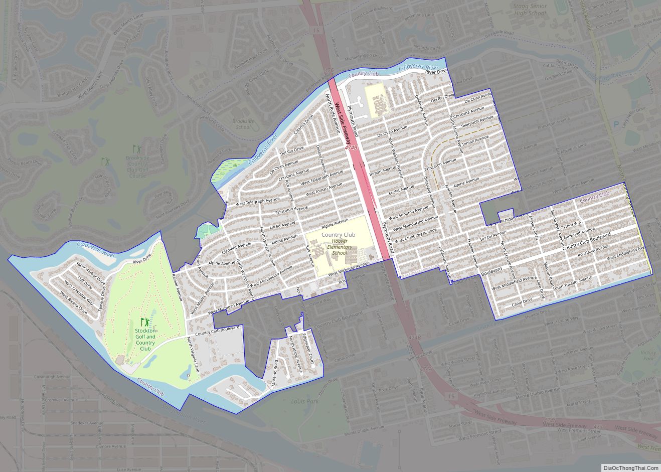
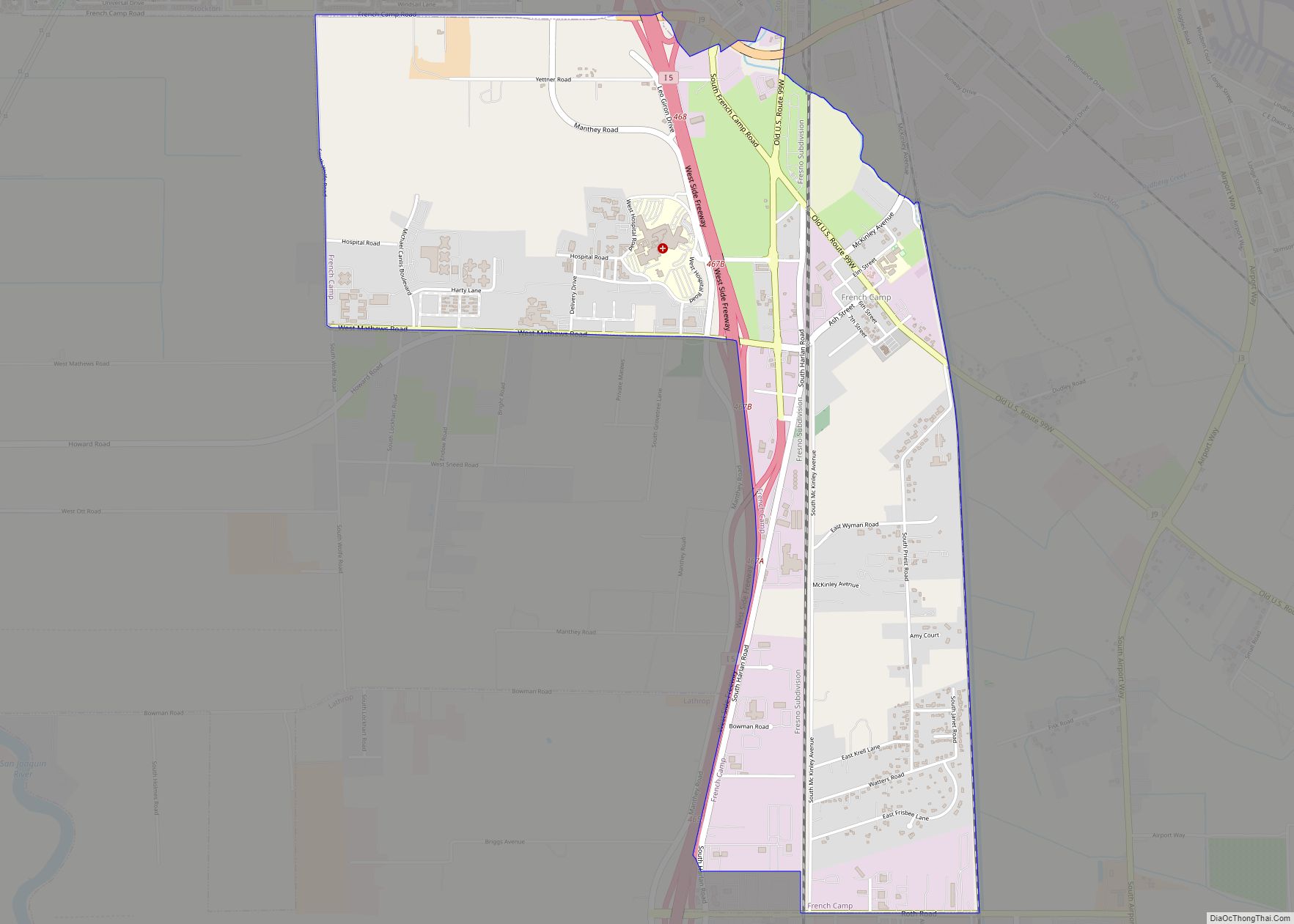
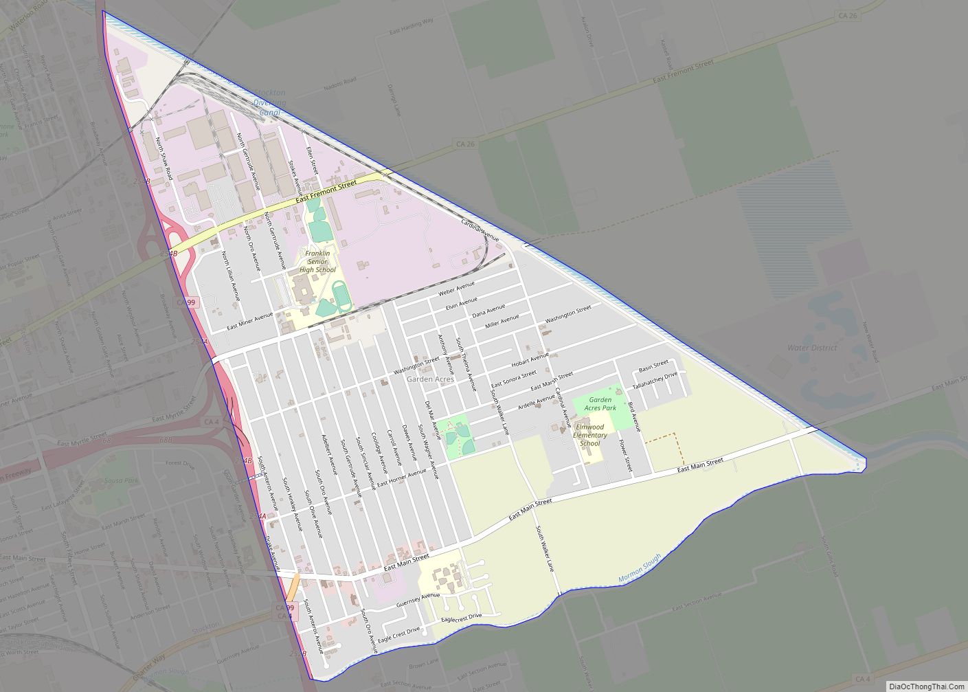
Online Interactive Map
Click on ![]() to view map in "full screen" mode.
to view map in "full screen" mode.
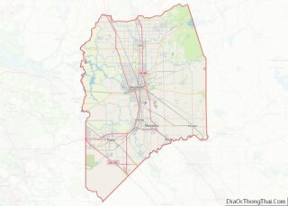
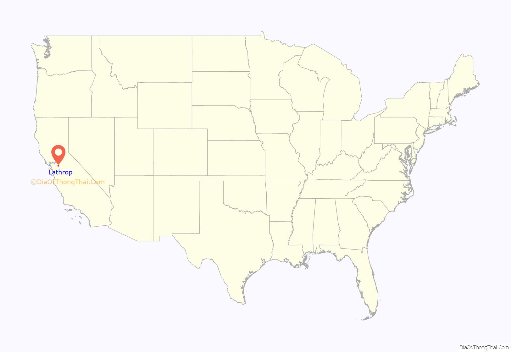
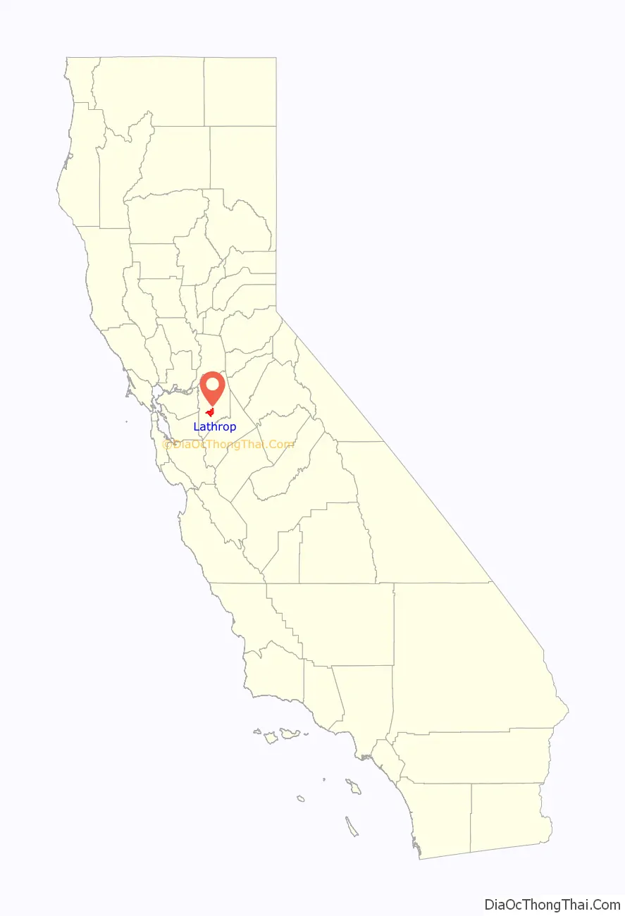
Lathrop location map. Where is Lathrop city?
History
Lathrop was platted when the transcontinental railroad was extended to that point around 1868. A post office has been in operation at Lathrop since 1871. The city was named for Jane Stanford, née Lathrop, wife of Leland Stanford.
On September 6, 1869, four months after the golden spike ceremony of the first transcontinental railroad at Promontory Summit, the San Joaquin Railroad Bridge at Mossdale Crossing at Lathrop was finished by Western Pacific. This actually completed the last link of the transcontinental railroad to the Pacific coast with the first through train from Sacramento arriving that evening at the Alameda Wharf in San Francisco Bay.
On August 14, 1889, former Chief Justice of California David S. Terry assaulted United States Supreme Court Justice Stephen J. Field, at the train station in Lathrop. Field’s bodyguard, United States Marshal David Neagle (formerly assigned to Tombstone, Arizona), shot and killed Terry. The events led to the United States Supreme Court decision In re Neagle, which granted immunity from state prosecution to federal officers acting within the scope of their federal authority.
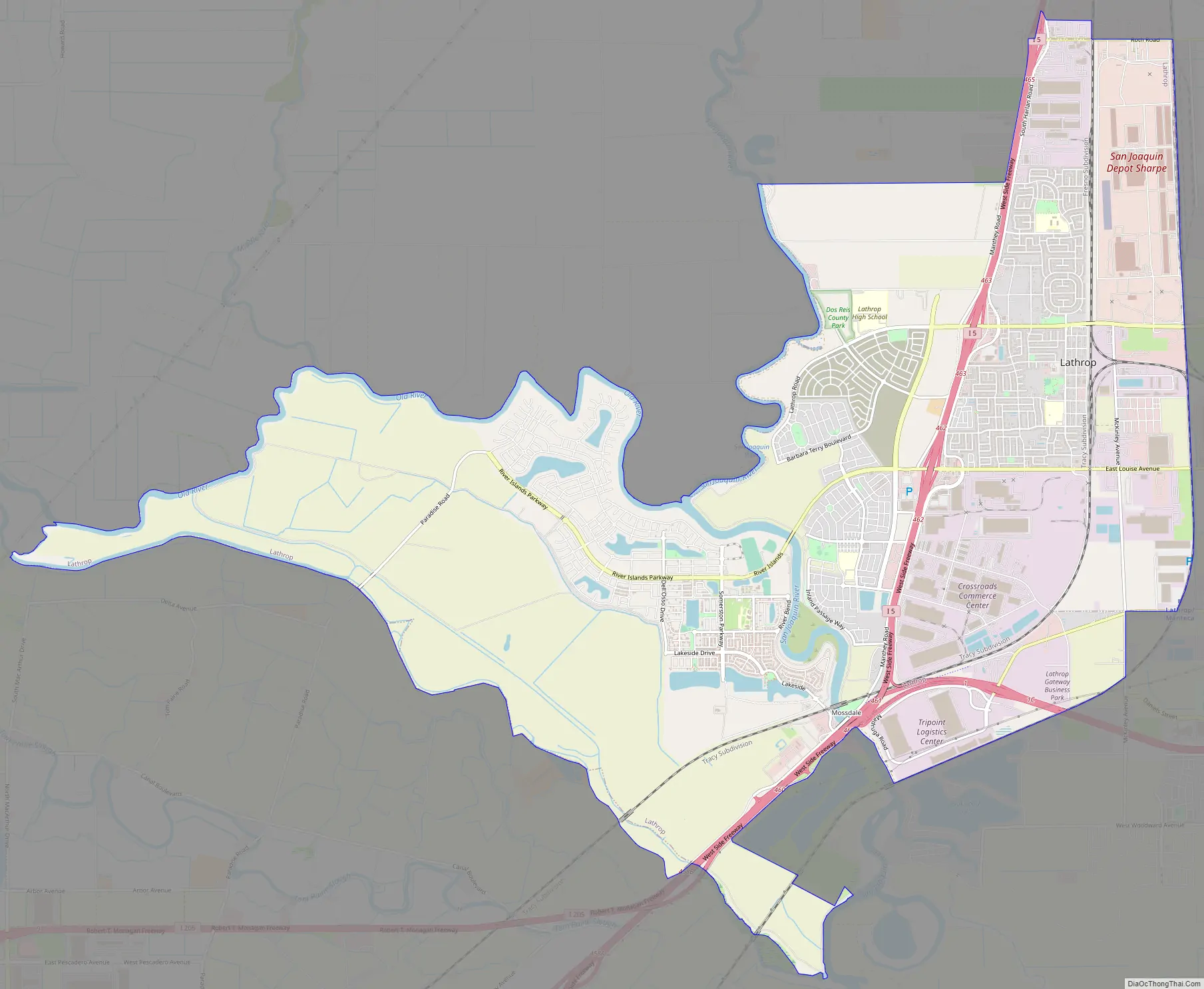
Lathrop Road Map
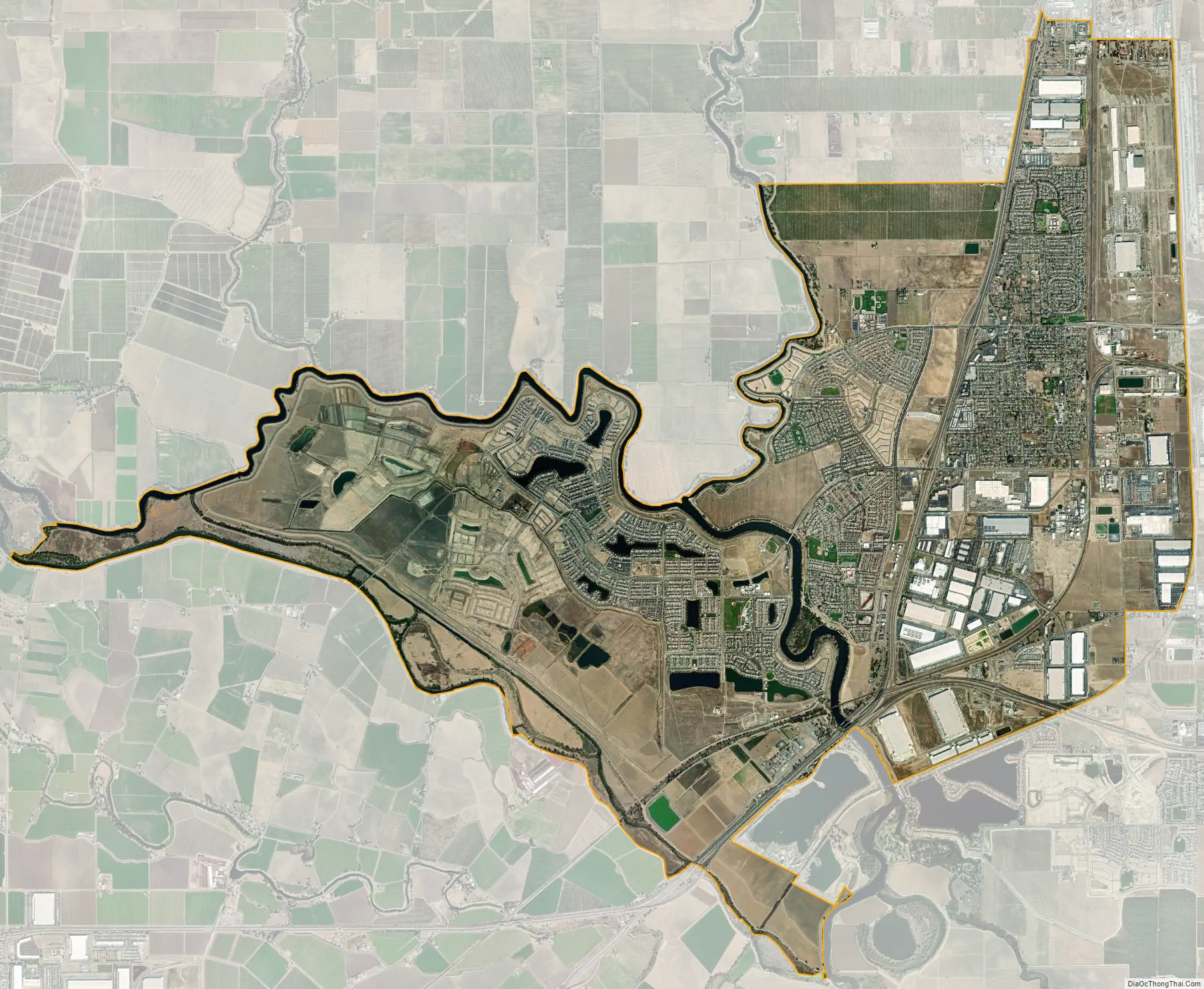
Lathrop city Satellite Map
Geography
Lathrop is located at 37°49′1″N 121°17′19″W / 37.81694°N 121.28861°W / 37.81694; -121.28861 (37.816904, -121.288633). The San Joaquin River is on the west side of Lathrop and has elevation of 20 feet (7 m).
Neighboring cities and towns include Stockton, Manteca, Ripon, French Camp, and Tracy.
According to the United States Census Bureau, the city covers an area of 23.0 square miles (60 km) of which 1.1 square miles (2.8 km) (4.79%) is covered by water.
See also
Map of California State and its subdivision:- Alameda
- Alpine
- Amador
- Butte
- Calaveras
- Colusa
- Contra Costa
- Del Norte
- El Dorado
- Fresno
- Glenn
- Humboldt
- Imperial
- Inyo
- Kern
- Kings
- Lake
- Lassen
- Los Angeles
- Madera
- Marin
- Mariposa
- Mendocino
- Merced
- Modoc
- Mono
- Monterey
- Napa
- Nevada
- Orange
- Placer
- Plumas
- Riverside
- Sacramento
- San Benito
- San Bernardino
- San Diego
- San Francisco
- San Joaquin
- San Luis Obispo
- San Mateo
- Santa Barbara
- Santa Clara
- Santa Cruz
- Shasta
- Sierra
- Siskiyou
- Solano
- Sonoma
- Stanislaus
- Sutter
- Tehama
- Trinity
- Tulare
- Tuolumne
- Ventura
- Yolo
- Yuba
- Alabama
- Alaska
- Arizona
- Arkansas
- California
- Colorado
- Connecticut
- Delaware
- District of Columbia
- Florida
- Georgia
- Hawaii
- Idaho
- Illinois
- Indiana
- Iowa
- Kansas
- Kentucky
- Louisiana
- Maine
- Maryland
- Massachusetts
- Michigan
- Minnesota
- Mississippi
- Missouri
- Montana
- Nebraska
- Nevada
- New Hampshire
- New Jersey
- New Mexico
- New York
- North Carolina
- North Dakota
- Ohio
- Oklahoma
- Oregon
- Pennsylvania
- Rhode Island
- South Carolina
- South Dakota
- Tennessee
- Texas
- Utah
- Vermont
- Virginia
- Washington
- West Virginia
- Wisconsin
- Wyoming