Lennox (pronunciation) is a census-designated place (CDP) in Los Angeles County, California, United States. The population was 22,753 at the 2010 census, down from 22,950 at the 2000 census.
| Name: | Lennox CDP |
|---|---|
| LSAD Code: | 57 |
| LSAD Description: | CDP (suffix) |
| State: | California |
| County: | Los Angeles County |
| Elevation: | 72 ft (22 m) |
| Total Area: | 1.093 sq mi (2.832 km²) |
| Land Area: | 1.093 sq mi (2.832 km²) |
| Water Area: | 0 sq mi (0 km²) 0% |
| Total Population: | 22,753 |
| Population Density: | 21,000/sq mi (8,000/km²) |
| ZIP code: | 90304 |
| Area code: | 310 |
| FIPS code: | 0641180 |
| GNISfeature ID: | 1652743 |
Online Interactive Map
Click on ![]() to view map in "full screen" mode.
to view map in "full screen" mode.
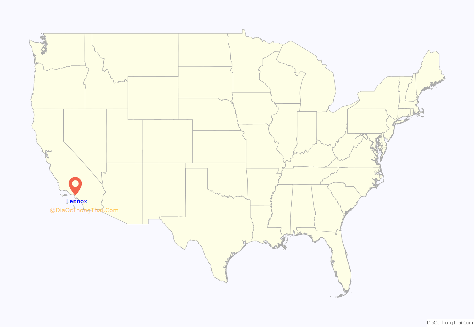
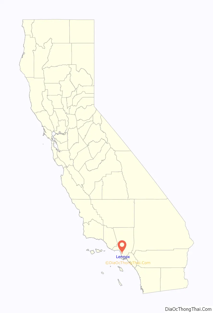
Lennox location map. Where is Lennox CDP?
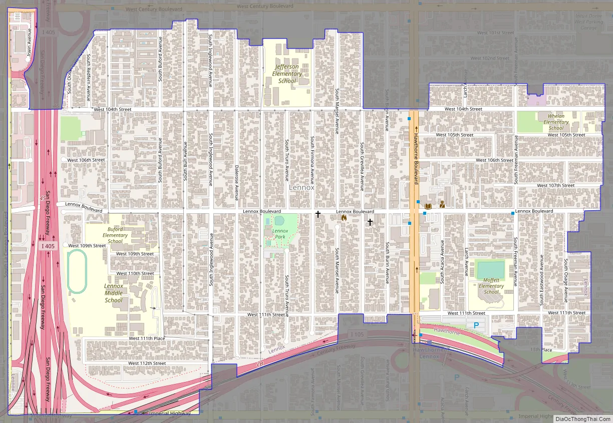
Lennox Road Map
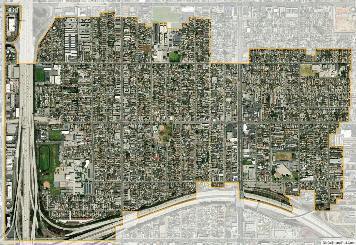
Lennox city Satellite Map
Geography
Lennox’s boundaries are Century Boulevard to the north (along with neighboring cities of Inglewood and Los Angeles), Interstate 405 (the San Diego Freeway) to the west, and Interstate 105 (the Glenn Anderson Freeway) to the south. Hawthorne Boulevard and Prairie Avenue make up portions of its eastern boundary with Inglewood. The CDP sits underneath the flight path of passenger jets landing at Los Angeles International Airport (LAX).
According to the United States Census Bureau, the CDP has a total area of 1.1 square miles (2.8 km), all land.
See also
Map of California State and its subdivision:- Alameda
- Alpine
- Amador
- Butte
- Calaveras
- Colusa
- Contra Costa
- Del Norte
- El Dorado
- Fresno
- Glenn
- Humboldt
- Imperial
- Inyo
- Kern
- Kings
- Lake
- Lassen
- Los Angeles
- Madera
- Marin
- Mariposa
- Mendocino
- Merced
- Modoc
- Mono
- Monterey
- Napa
- Nevada
- Orange
- Placer
- Plumas
- Riverside
- Sacramento
- San Benito
- San Bernardino
- San Diego
- San Francisco
- San Joaquin
- San Luis Obispo
- San Mateo
- Santa Barbara
- Santa Clara
- Santa Cruz
- Shasta
- Sierra
- Siskiyou
- Solano
- Sonoma
- Stanislaus
- Sutter
- Tehama
- Trinity
- Tulare
- Tuolumne
- Ventura
- Yolo
- Yuba
- Alabama
- Alaska
- Arizona
- Arkansas
- California
- Colorado
- Connecticut
- Delaware
- District of Columbia
- Florida
- Georgia
- Hawaii
- Idaho
- Illinois
- Indiana
- Iowa
- Kansas
- Kentucky
- Louisiana
- Maine
- Maryland
- Massachusetts
- Michigan
- Minnesota
- Mississippi
- Missouri
- Montana
- Nebraska
- Nevada
- New Hampshire
- New Jersey
- New Mexico
- New York
- North Carolina
- North Dakota
- Ohio
- Oklahoma
- Oregon
- Pennsylvania
- Rhode Island
- South Carolina
- South Dakota
- Tennessee
- Texas
- Utah
- Vermont
- Virginia
- Washington
- West Virginia
- Wisconsin
- Wyoming


