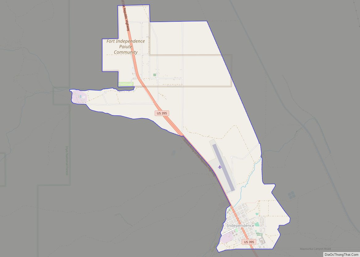
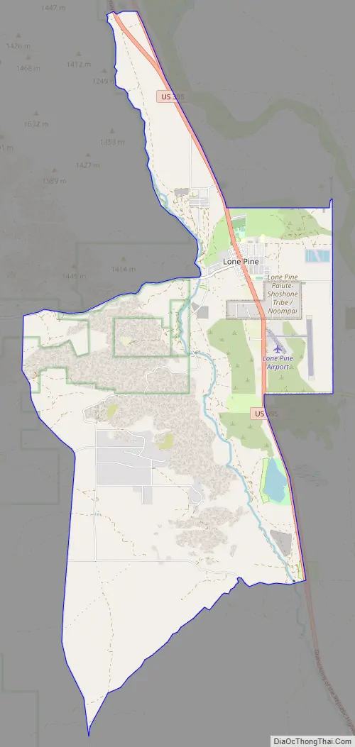
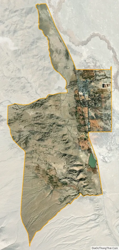
Lone Pine is a census-designated place (CDP) in Inyo County, California, United States. Lone Pine is located 16 mi (26 km) south-southeast of Independence, at an elevation of 3,727 ft (1,136 m). The population was 2,035 at the 2010 census, up from 1,655 at the 2000 census. The town is located in the Owens Valley, near the Alabama Hills and Mount Whitney, between the eastern peaks of the Sierra Nevada to the west and the Inyo Mountains to the east. The local hospital, Southern Inyo Hospital, offers standby emergency services. The town is named after a solitary pine tree that once existed at the mouth of Lone Pine Canyon. On March 26, 1872, the very large Lone Pine earthquake destroyed most of the town and killed 27 of its 250 to 300 residents.
| Name: | Lone Pine CDP |
|---|---|
| LSAD Code: | 57 |
| LSAD Description: | CDP (suffix) |
| State: | California |
| County: | Inyo County |
| Elevation: | 3,727 ft (1,136 m) |
| Total Area: | 19.215 sq mi (49.766 km²) |
| Land Area: | 19.034 sq mi (49.298 km²) |
| Water Area: | 0.181 sq mi (0.468 km²) 0.94% |
| Total Population: | 2,035 |
| Population Density: | 110/sq mi (41/km²) |
| ZIP code: | 93545 |
| FIPS code: | 0642580 |
| GNISfeature ID: | 277545 |
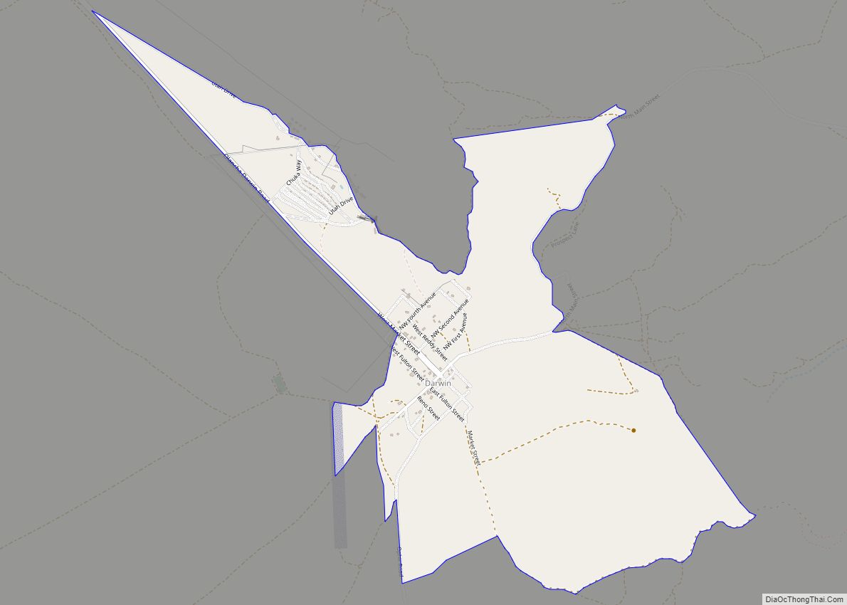
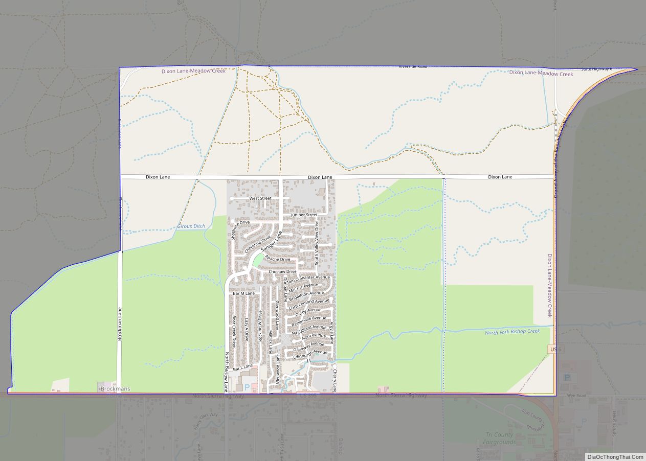
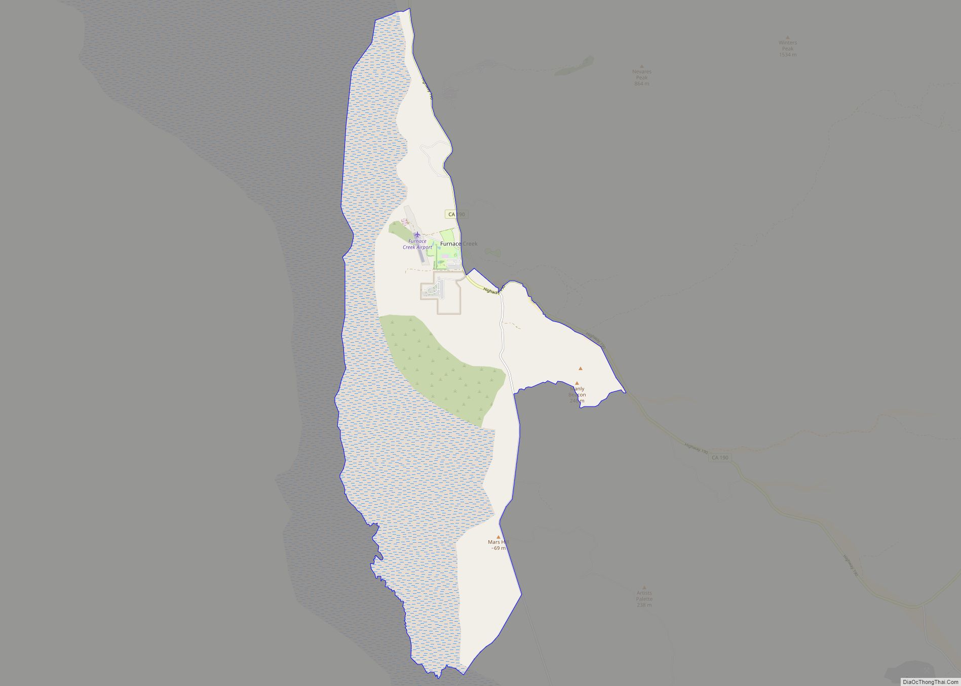
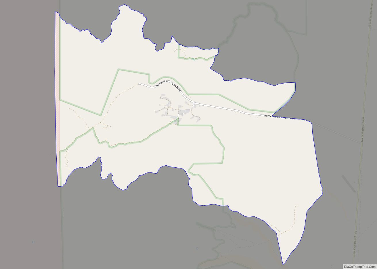
Online Interactive Map
Click on ![]() to view map in "full screen" mode.
to view map in "full screen" mode.
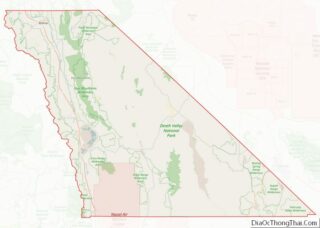
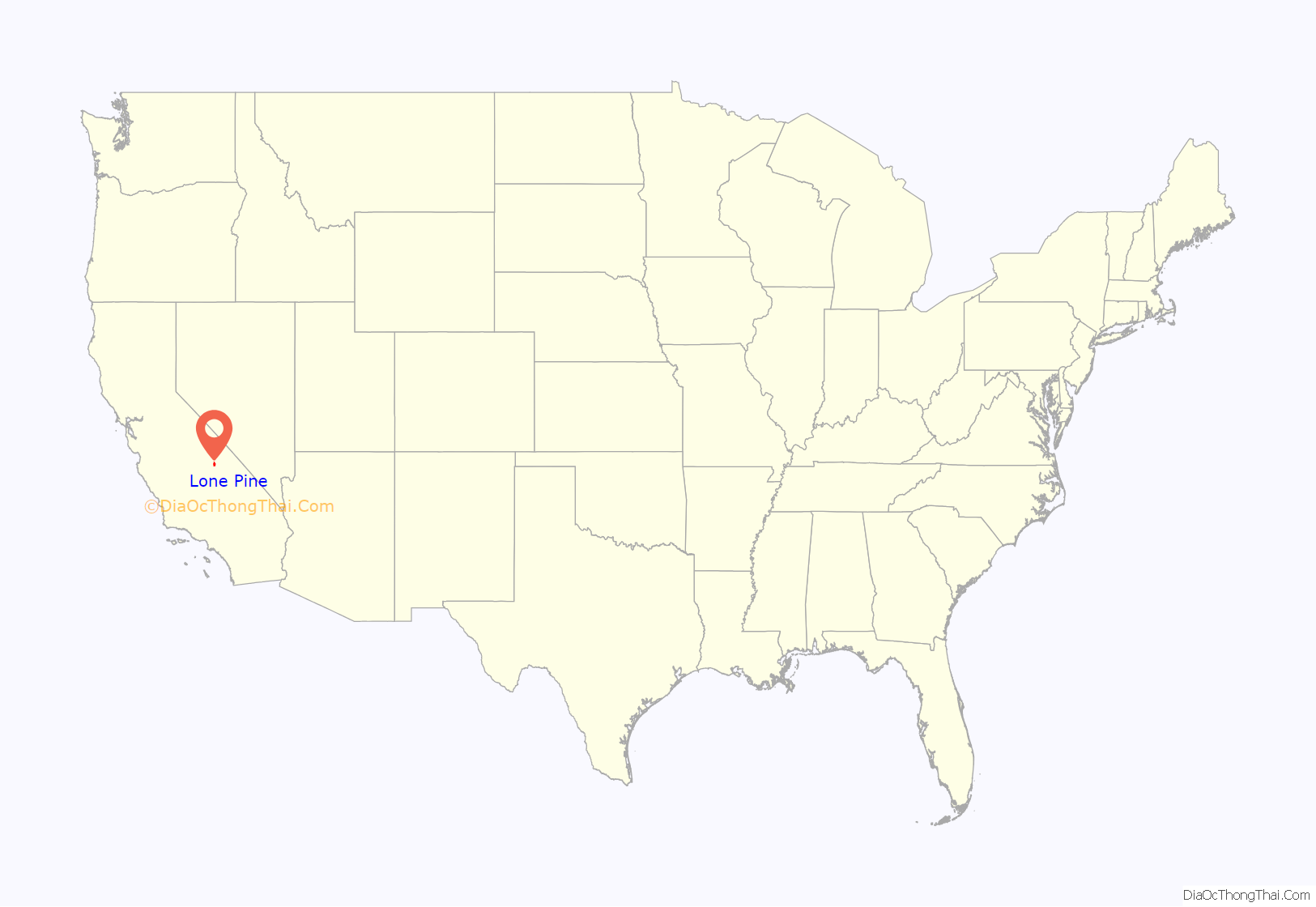
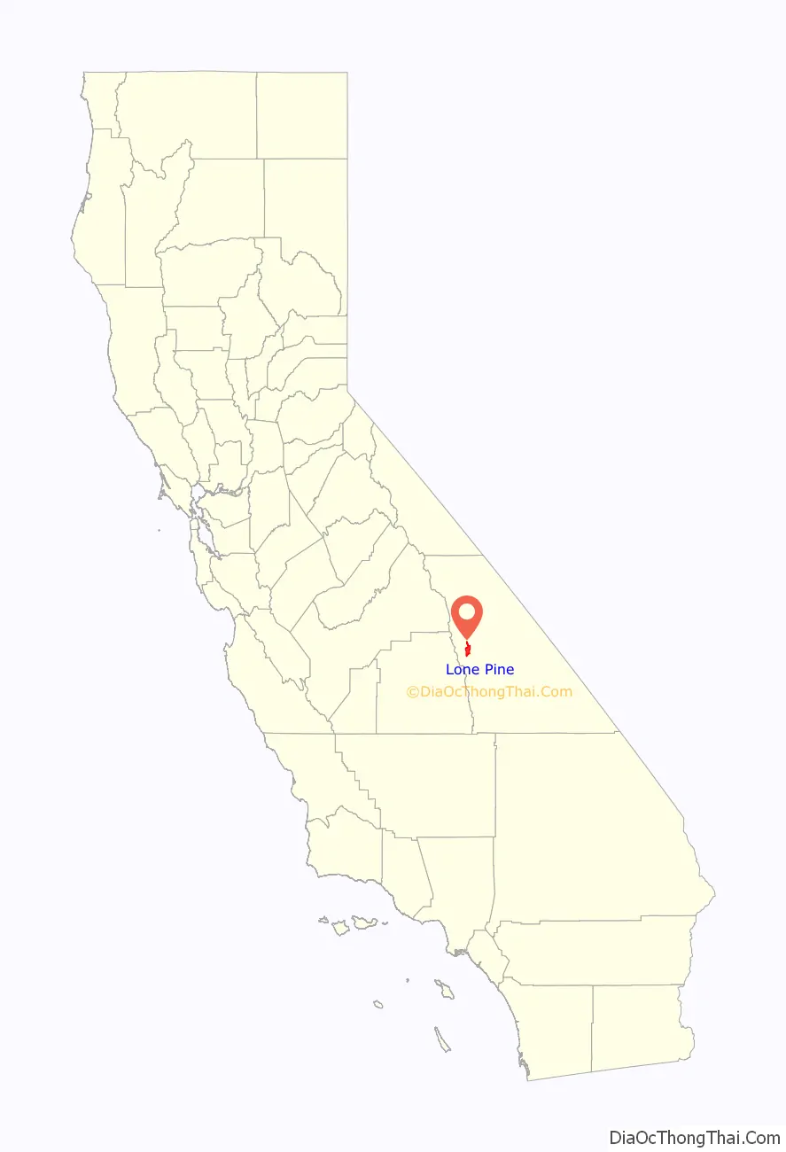
Lone Pine location map. Where is Lone Pine CDP?
History
The Paiute Indians inhabited the Owens Valley area from prehistoric times. These early inhabitants are known to have established trading routes which extended to the Pacific Central Coast, delivering materials originating in the Owens Valley to such tribes as the Chumash.
A cabin was built here during the winter of 1861–62. A settlement developed over the following two years. The Lone Pine post office opened in 1870.
On March 26, 1872, at 2:30 am, Lone Pine experienced a violent earthquake that destroyed most of the town. At the time, the town consisted of 80 buildings made of mud and adobe; only 20 structures were left standing. As a result of the quake, which formed Diaz Lake, a total of 26 people lost their lives. A mass grave located just north of town commemorates the site of the main fault. One of the few remaining structures pre-dating the earthquake is the 21-inch (53 cm)-thick “Old Adobe Wall” located in the alley behind the Lone Star Bistro, a coffee house.
During the 1870s, Lone Pine was an important supply town for several nearby mining communities, including Kearsarge, Cerro Gordo, Keeler, Swansea, and Darwin. The Cerro Gordo mine high in the Inyo Mountains was one of the most productive silver mines in California. The silver was carried in ore buckets on a strong cable to Keeler, and then transported 4 miles (6.4 km) northwest to smelter ovens at Swansea. To supply the necessary building materials and fuel for these operations, a sawmill was constructed near Horseshoe Meadows by Colonel Sherman Stevens that produced wood for the smelters and the mines. The wood was moved by flume to the valley, where it was burned in adobe kilns to make charcoal, which was then transported by steamships across Owens Lake to the smelters at Swansea, about 12 miles (19 km) south of Lone Pine.
Railroads played a major role in the development of Lone Pine and the Owens Valley. In 1883, the Carson and Colorado Railway line was constructed from Belleville, Nevada, across the White Mountains to Benton, and then down into the Owens Valley where it ended in Keeler. The arrival of the C&C rail line, with its engine “The Slim Princess”, and the stagecoach in Keeler were a major economic boost for the area. Twice a week, passengers arrived on the evening train, spent the night at the Lake View Hotel (later renamed the Hotel Keeler), and then took the stage the following morning to Mojave. A short line to the north connected with the Virginia and Truckee Railroad line at Mound House, Nevada.
In 1920, the history of Lone Pine was dramatically altered when a movie production company came to the Alabama Hills to make the silent film The Round-Up. Other companies soon discovered the scenic location, and in the coming decades, over 400 films, 100 television episodes, and countless commercials have used Lone Pine and the Alabama Hills as a film location. Notable films shot here in the 1920s and 1930s include Riders of the Purple Sage (1925) with Tom Mix, The Enchanted Hill (1926) with Jack Holt, Somewhere in Sonora (1927) with Ken Maynard, Blue Steel (1934) with John Wayne, Hop-Along Cassidy (1935) with William Boyd, The Charge of the Light Brigade (1936) with Errol Flynn, Oh, Susanna! (1936) with Gene Autry, Rhythm on the Range (1936) with Bing Crosby, The Cowboy and the Lady (1938) with Gary Cooper, Under Western Stars (1938) with Roy Rogers, and Gunga Din (1939) with Cary Grant.
In the coming decades, Lone Pine and the Alabama Hills continued to be used as the setting for Western films, including West of the Pecos (1945) with Robert Mitchum, Thunder Mountain (1947) with Tim Holt, The Gunfighter (1950) with Gregory Peck, The Nevadan (1950) with Randolph Scott, Bad Day at Black Rock (1955) with Spencer Tracy, Hell Bent for Leather (1960) with Audie Murphy, How the West Was Won (1962) with James Stewart, Nevada Smith (1966) with Steve McQueen, Joe Kidd (1972) with Clint Eastwood, Maverick (1994) with Mel Gibson, and The Lone Ranger (2013) with Johnny Depp. Through the years, non-Western films also used the unique landscape of the area, including Alfred Hitchcock’s Saboteur (1942) with Robert Cummings, Samson and Delilah (1949) with Hedy Lamarr, Star Trek V: The Final Frontier (1989) with William Shatner, Tremors (1990) with Kevin Bacon, The Postman (1997) with Kevin Costner, and Gladiator (2000) with Russell Crowe.
The most important movie filmed in and around Lone Pine is director Raoul Walsh’s High Sierra (1941), starring Humphrey Bogart as Roy Earle in the role that moved Bogart from respected supporting player to leading man. Cast and crew lodged in Lone Pine, and Walsh shot various scenes in and around Lone Pine. For the film’s mountain chase scenes, Walsh took everyone to nearby Mt. Whitney, where pack mules lugged camera equipment up the mountainside: “filming began just outside Lone Pine … on August 5, 1940. … On a slope at the side of Mt. Whitney, … a group of twenty men from the studio worked for four days to clear a path so that mountain-trained mules, packing cameras and other equipment, could get up to the shooting area. … Bogart had to run three miles up a mountainside for two days … Walsh ordered all the big boulders removed from the path of [Bogart’s] final fall, but the little ones remained, and Bogart complained about that plenty … Bogie especially did not want to trek up that mountain. This was the shoot on which Walsh gave him the nickname ‘Bogey the Beefer'”. John Huston wrote the screenplay, and Ida Lupino co-starred.
Following the Japanese attack on Pearl Harbor, on December 7, 1941, President Roosevelt signed an executive order that required people of Japanese ancestry living along the Pacific coast to be placed into relocation camps. One of these camps, Manzanar, was built 7 miles (11 km) north of Lone Pine.
Lone Pine Road Map
Lone Pine city Satellite Map
Geography
Lone Pine is situated in the Owens Valley with the picturesque Alabama Hills lying to the west. Their unique appearance has attracted many film companies over the years. The hills were named in 1862 by Southern sympathisers, commemorating the victories of the Confederate ship CSS Alabama.
As the crow flies, Lone Pine is 95 miles (153 km) due east of Fresno. However, there is no road crossing the Sierra Nevada to provide access from Lone Pine to Fresno. As a result, the closest accessible large city is Bakersfield, nearly 170 miles (270 km) away.
According to the United States Census Bureau, the CDP has a total area of 19.2 square miles (50 km), of which 19.0 square miles (49 km) is land and 0.2 square miles (0.52 km) (0.94%) is water.
See also
Map of California State and its subdivision:- Alameda
- Alpine
- Amador
- Butte
- Calaveras
- Colusa
- Contra Costa
- Del Norte
- El Dorado
- Fresno
- Glenn
- Humboldt
- Imperial
- Inyo
- Kern
- Kings
- Lake
- Lassen
- Los Angeles
- Madera
- Marin
- Mariposa
- Mendocino
- Merced
- Modoc
- Mono
- Monterey
- Napa
- Nevada
- Orange
- Placer
- Plumas
- Riverside
- Sacramento
- San Benito
- San Bernardino
- San Diego
- San Francisco
- San Joaquin
- San Luis Obispo
- San Mateo
- Santa Barbara
- Santa Clara
- Santa Cruz
- Shasta
- Sierra
- Siskiyou
- Solano
- Sonoma
- Stanislaus
- Sutter
- Tehama
- Trinity
- Tulare
- Tuolumne
- Ventura
- Yolo
- Yuba
- Alabama
- Alaska
- Arizona
- Arkansas
- California
- Colorado
- Connecticut
- Delaware
- District of Columbia
- Florida
- Georgia
- Hawaii
- Idaho
- Illinois
- Indiana
- Iowa
- Kansas
- Kentucky
- Louisiana
- Maine
- Maryland
- Massachusetts
- Michigan
- Minnesota
- Mississippi
- Missouri
- Montana
- Nebraska
- Nevada
- New Hampshire
- New Jersey
- New Mexico
- New York
- North Carolina
- North Dakota
- Ohio
- Oklahoma
- Oregon
- Pennsylvania
- Rhode Island
- South Carolina
- South Dakota
- Tennessee
- Texas
- Utah
- Vermont
- Virginia
- Washington
- West Virginia
- Wisconsin
- Wyoming