Manteca is a city in San Joaquin County, California. The city had a population of 83,498 as of the 2020 Census.
| Name: | Manteca city |
|---|---|
| LSAD Code: | 25 |
| LSAD Description: | city (suffix) |
| State: | California |
| County: | San Joaquin County |
| Incorporated: | May 28, 1918 |
| Elevation: | 36 ft (11 m) |
| Total Area: | 21.41 sq mi (55.46 km²) |
| Land Area: | 21.39 sq mi (55.40 km²) |
| Water Area: | 0.02 sq mi (0.06 km²) 0.13% |
| Total Population: | 83,498 |
| Population Density: | 3,899.95/sq mi (1,498.80/km²) |
| ZIP code: | 95336, 95337 |
| Area code: | 209 |
| FIPS code: | 0645484 |
| Website: | www.ci.manteca.ca.us |
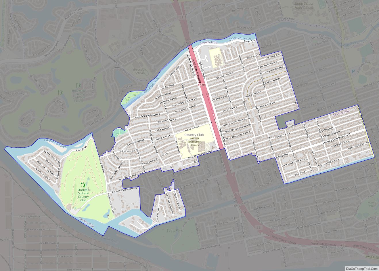
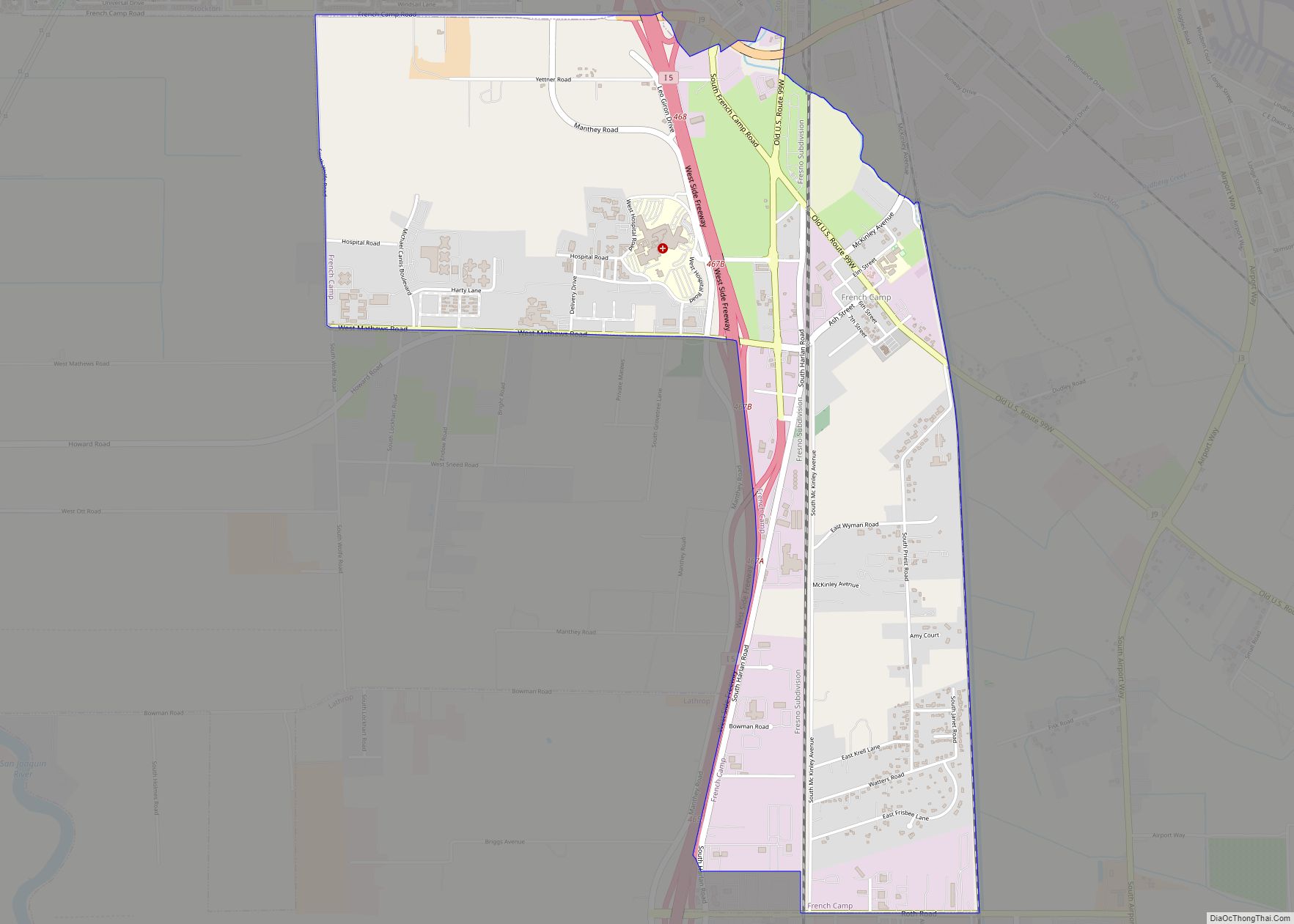
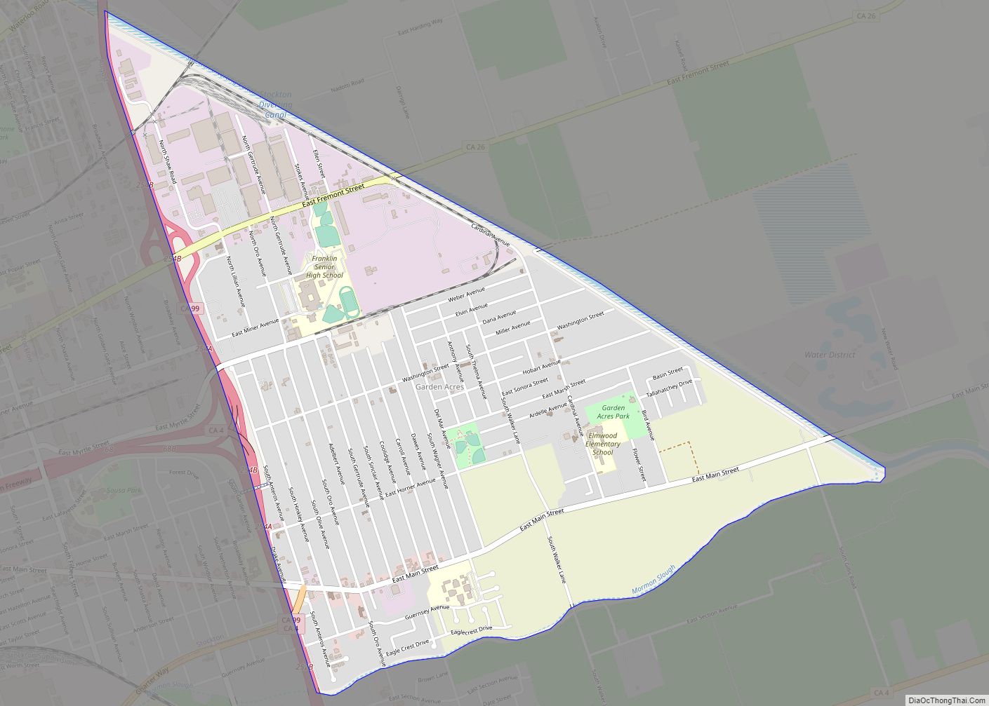
Online Interactive Map
Click on ![]() to view map in "full screen" mode.
to view map in "full screen" mode.
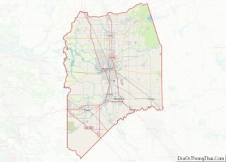
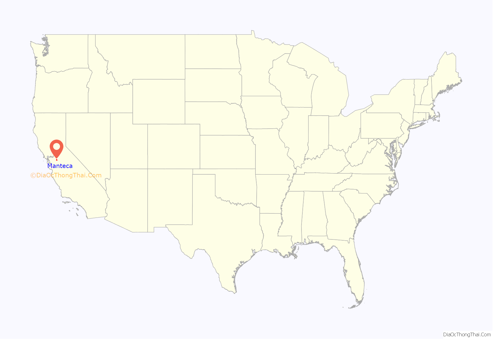
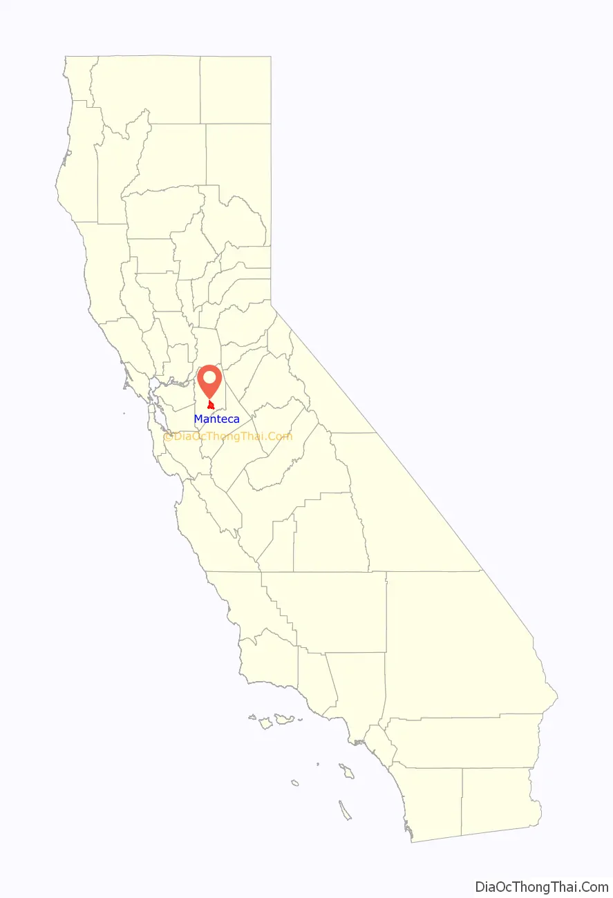
Manteca location map. Where is Manteca city?
History
Manteca is a city in the Central Valley of California, located 76 miles (122 kilometers) east of San Francisco. It was founded in 1861 by Joshua Cowell. Cowell claimed around 1,000 acres (400 hectares) and built houses on what is now the corner of Main and Yosemite, where Bank of America now stands. In 1873, the Central Pacific Railroad laid track directly through the area. The residents wanted to refer to their new train station as “Cowell Station”, but there was already a Cowell Station near Tracy. The residents agreed to change the name of the community, choosing “Monteca” as the new name. This was misprinted as “Manteca” (Spanish for lard) by the railroad, and the misspelled version was eventually accepted as the name of the town. In 1918, Manteca was incorporated as a city, and Joshua Cowell became its first mayor.
In 1935, photojournalist Dorothea Lange took photos of William & Mary Dimotakis (immigrants from the Greek island of Crete), and their youngest child, son George, on the family farm in Manteca for the Farm Security Administration. The farm, near the industrial park area, is still owned by the Dimotakis family. The images can be found in the Library of Congress.
Manteca fashions itself the “Family City”, and it lies at a crossroads of major highways and railroads. As recently as the 1970s, Manteca existed primarily on agriculture and was still barely a stop between two freeways, Interstate 5 and State Route 99. The continuing rise in Bay Area housing prices caused Bay Area families to look further eastward for more affordable places to live. Since the construction of the 120 bypass portion of State Route 120, Manteca has become a popular choice for these commuters. The 1990s saw an increase in the city’s population and the construction of its third high school (Sierra High School), joining Manteca High School and East Union High School. The population of Manteca continues to increase, with some housing being constructed on what was once farmland to the north and southeast. Manteca has more than tripled in population since 1980.
Manteca is the home base for the “Not Forgotten Memorial Day Event”, the largest commemoration for veterans on the West Coast. The event is held annually on the Sunday before Memorial Day. The event draws over 20,000 attendees.
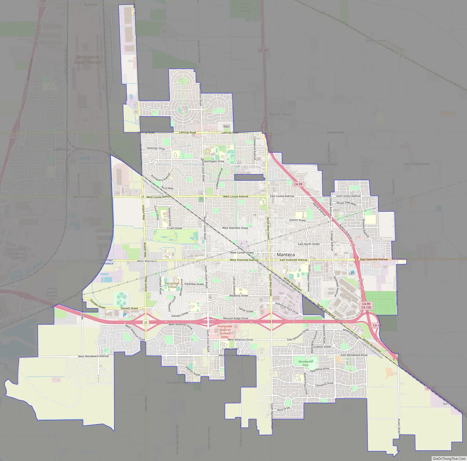
Manteca Road Map
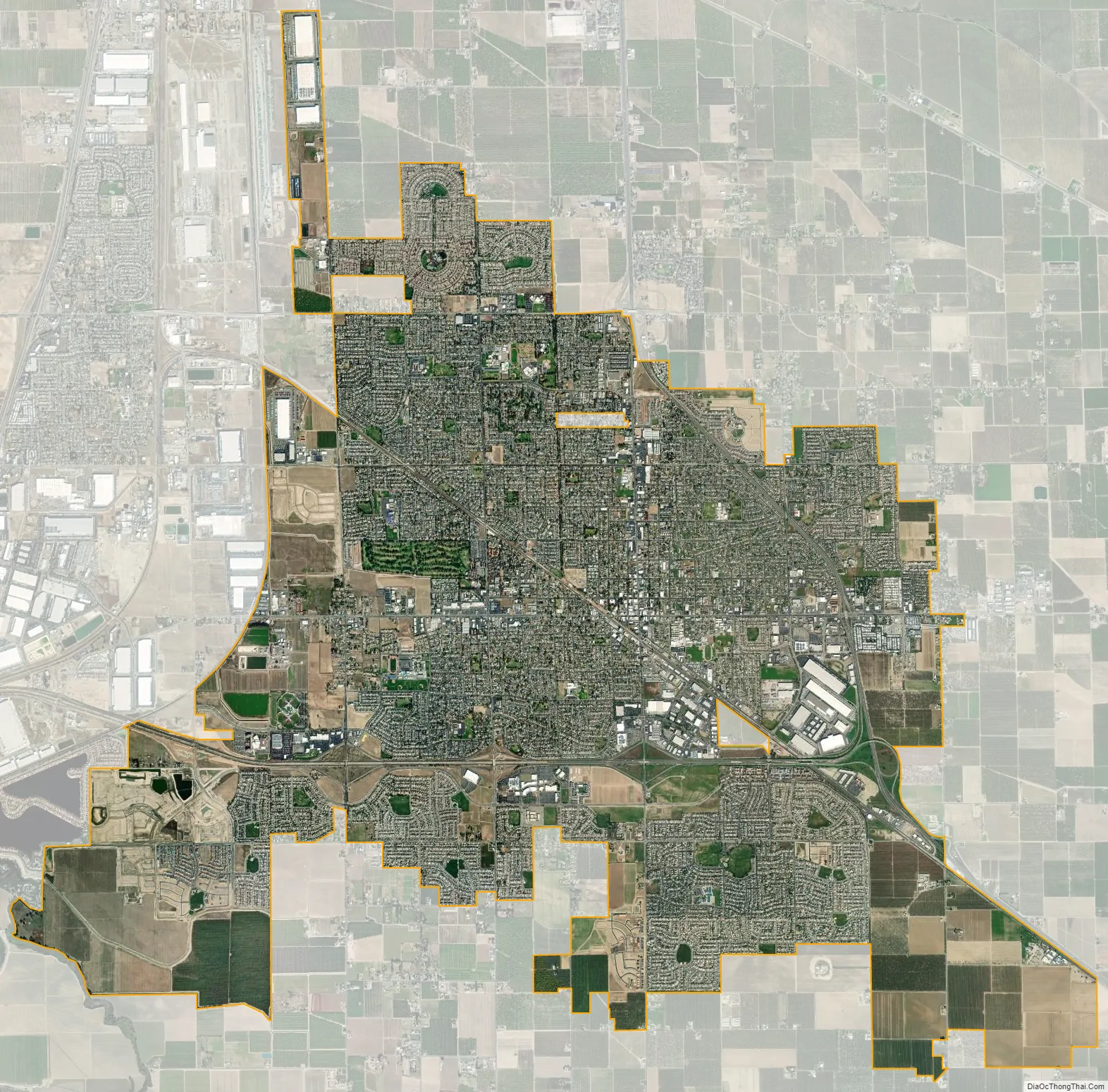
Manteca city Satellite Map
Geography
According to the United States Census Bureau, the city has a total area of 17.8 square miles (46 km), 99.87% of it land and 0.13% of it water.
Neighboring towns include Lathrop, Ripon, Escalon, and Tracy. Manteca is located in between the larger cities of Modesto and Stockton.
Climate
According to the Köppen Climate Classification system, Manteca has a hot-summer mediterranean climate, abbreviated “Csa” on climate maps. It is very hot and dry in summer, and mild in winter, except during spells of seasonal tule fog, when it can be quite chilly for many days. Summers are exceptionally dry, whereas winters are rainy with stretches of fair weather.
See also
Map of California State and its subdivision:- Alameda
- Alpine
- Amador
- Butte
- Calaveras
- Colusa
- Contra Costa
- Del Norte
- El Dorado
- Fresno
- Glenn
- Humboldt
- Imperial
- Inyo
- Kern
- Kings
- Lake
- Lassen
- Los Angeles
- Madera
- Marin
- Mariposa
- Mendocino
- Merced
- Modoc
- Mono
- Monterey
- Napa
- Nevada
- Orange
- Placer
- Plumas
- Riverside
- Sacramento
- San Benito
- San Bernardino
- San Diego
- San Francisco
- San Joaquin
- San Luis Obispo
- San Mateo
- Santa Barbara
- Santa Clara
- Santa Cruz
- Shasta
- Sierra
- Siskiyou
- Solano
- Sonoma
- Stanislaus
- Sutter
- Tehama
- Trinity
- Tulare
- Tuolumne
- Ventura
- Yolo
- Yuba
- Alabama
- Alaska
- Arizona
- Arkansas
- California
- Colorado
- Connecticut
- Delaware
- District of Columbia
- Florida
- Georgia
- Hawaii
- Idaho
- Illinois
- Indiana
- Iowa
- Kansas
- Kentucky
- Louisiana
- Maine
- Maryland
- Massachusetts
- Michigan
- Minnesota
- Mississippi
- Missouri
- Montana
- Nebraska
- Nevada
- New Hampshire
- New Jersey
- New Mexico
- New York
- North Carolina
- North Dakota
- Ohio
- Oklahoma
- Oregon
- Pennsylvania
- Rhode Island
- South Carolina
- South Dakota
- Tennessee
- Texas
- Utah
- Vermont
- Virginia
- Washington
- West Virginia
- Wisconsin
- Wyoming