Marina is a city in Monterey County, California, United States. As of the 2020 census, the population was 22,359, up from 19,718 in 2010. The city is located along the central coast of California, 8 miles (13 km) west of Salinas and 8 miles (13 km) northeast of Monterey. It is on California State Route 1 between Monterey and Santa Cruz and sits at an elevation of 43 feet (13 m).
Marina was incorporated in 1975 and is the newest city in the Monterey area. It includes part of the California State University, Monterey Bay campus, the UC Santa Cruz UC MBEST center, and the Veterans Transition Center (VTC). In 2012, Marina was named one of the 100 Best Communities for Young People by America’s Promise Alliance. The Fort Ord Station Veterinary Hospital, built in 1941 to provide healthcare for U.S. Army horses and mules, was listed on the National Register of Historic Places in 2014.
| Name: | Marina city |
|---|---|
| LSAD Code: | 25 |
| LSAD Description: | city (suffix) |
| State: | California |
| County: | Monterey County |
| Incorporated: | November 13, 1975 |
| Elevation: | 43 ft (13 m) |
| Total Area: | 9.81 sq mi (25.4 km²) |
| Land Area: | 8.91 sq mi (23.1 km²) |
| Water Area: | 0.90 sq mi (2.3 km²) 9.19% |
| Total Population: | 22,359 |
| Population Density: | 2,510.0/sq mi (969.1/km²) |
| ZIP code: | 93933 |
| Area code: | 831 |
| FIPS code: | 0645778 |
| Website: | cityofmarina.org |
Online Interactive Map
Click on ![]() to view map in "full screen" mode.
to view map in "full screen" mode.
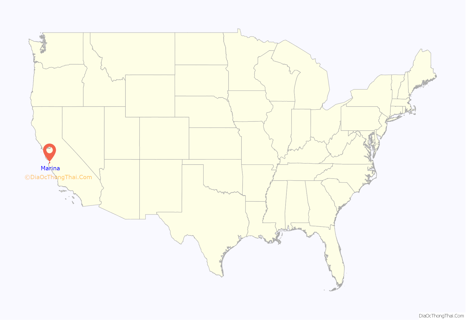
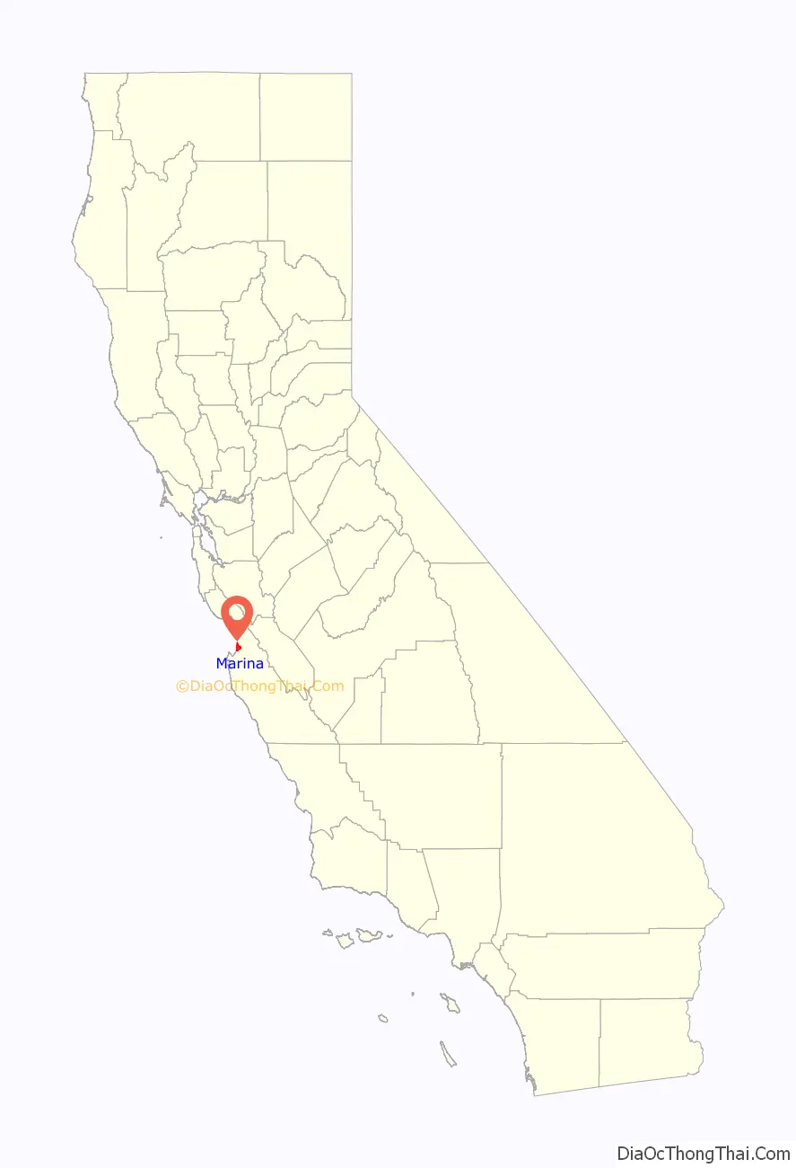
Marina location map. Where is Marina city?
History
William Locke-Paddon founded the town on 1,500 acres (6.1 km) of land he bought for the purpose. The Marina post office opened in 1916. Marina incorporated in 1975. The city’s history is intertwined with that of Fort Ord. Fort Ord lands were used as an infantry training center since the Mexican–American War. Major growth took place in 1938 with the first joint Army and Navy maneuvers held in 1940.
Fort Ord was selected in 1991 for decommissioning, and the post formally closed after troop reassignment in 1994. In July 1994, the California State University, Monterey Bay, began its first academic year, and barracks were soon transformed into dorms.
As a result of base closure, some of the last undeveloped natural wildlands on the Monterey Peninsula are now overseen by the Bureau of Land Management, including 86 miles (138 km) of trails for the public to explore on foot, bike or horseback. In 2012, President Barack Obama designated 14,000 acres (57 km) of the closed base as a national monument managed by the BLM.
Cemex had a sand mining operation in the city along the Monterey Bay coastline that concerned environmentalists and scientists. The California Coastal Commission in March 2016 issued a Cease and Desist order asking for “administration civil penalties”, stating that “the operation is narrowing beaches and impacting environmentally sensitive habitat.” Cemex denied the allegations and continued to operate. A settlement was reached in 2017, and CEMEX ended mining in December 2020.
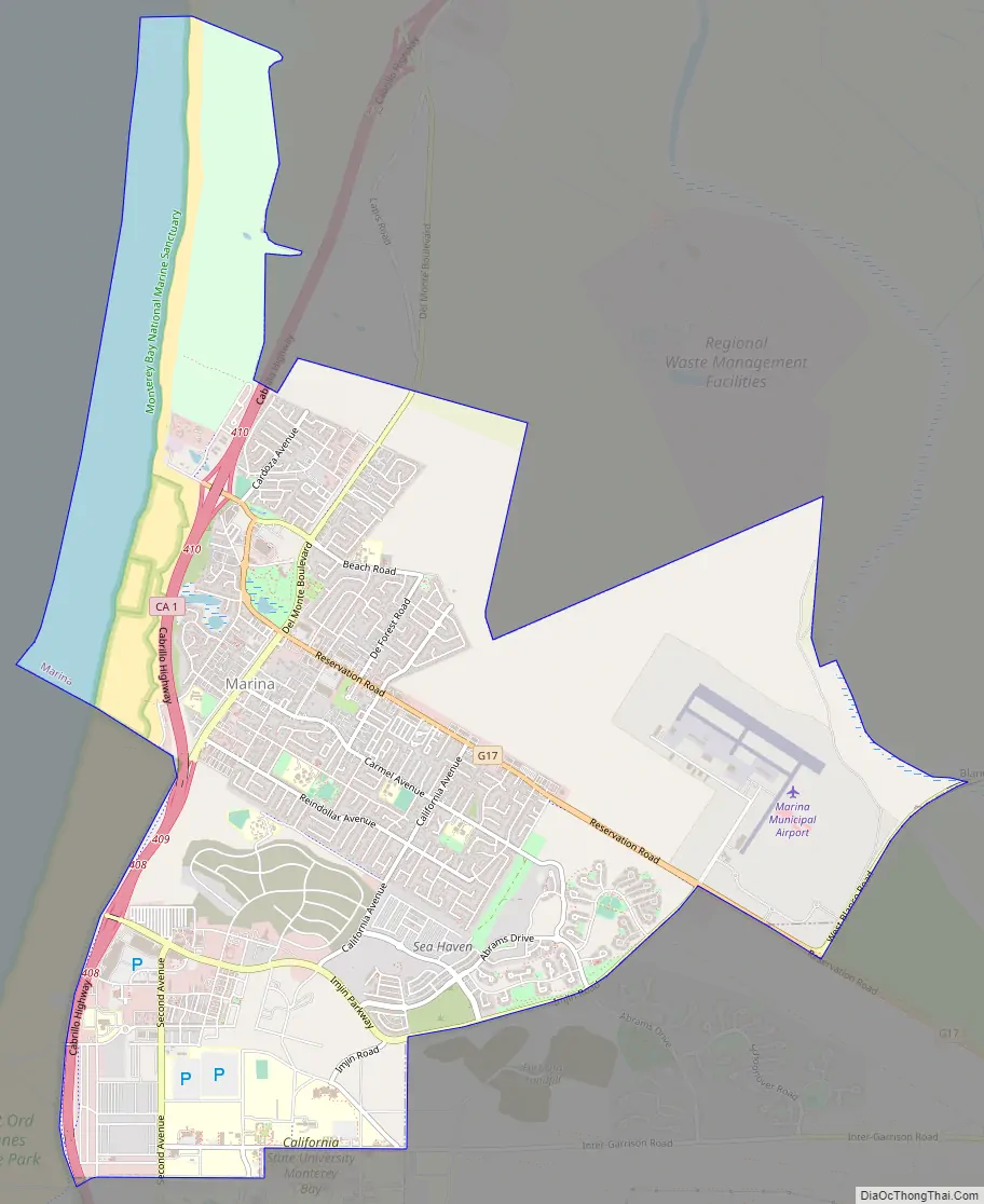
Marina Road Map
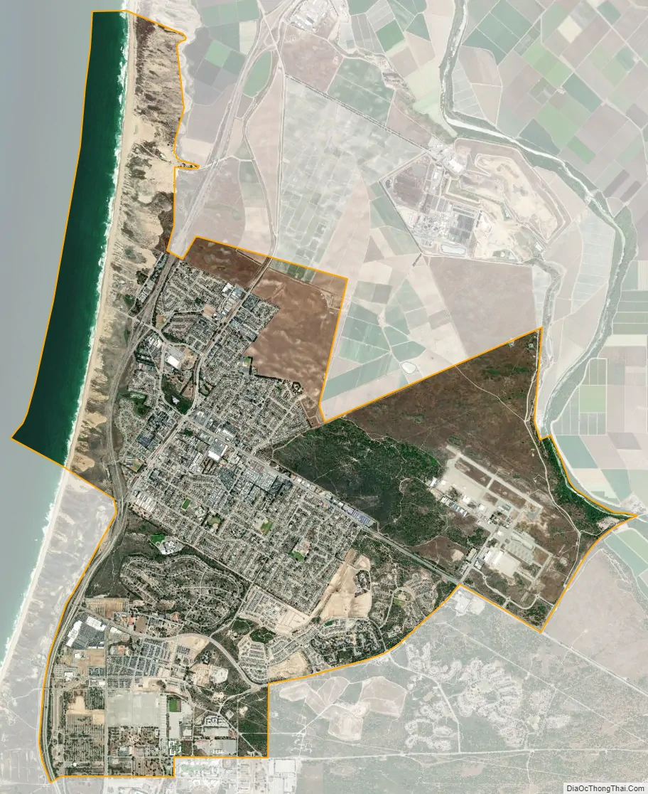
Marina city Satellite Map
Geography
Unlike most other coastal cities in California, Marina’s coastline remains undeveloped and protects rare species of butterflies, buckwheat, and sea lettuce. The city plans to adapt to climate change and sea level rise, based on managed retreat, and has been described as an example for other coastal cities.
See also
Map of California State and its subdivision:- Alameda
- Alpine
- Amador
- Butte
- Calaveras
- Colusa
- Contra Costa
- Del Norte
- El Dorado
- Fresno
- Glenn
- Humboldt
- Imperial
- Inyo
- Kern
- Kings
- Lake
- Lassen
- Los Angeles
- Madera
- Marin
- Mariposa
- Mendocino
- Merced
- Modoc
- Mono
- Monterey
- Napa
- Nevada
- Orange
- Placer
- Plumas
- Riverside
- Sacramento
- San Benito
- San Bernardino
- San Diego
- San Francisco
- San Joaquin
- San Luis Obispo
- San Mateo
- Santa Barbara
- Santa Clara
- Santa Cruz
- Shasta
- Sierra
- Siskiyou
- Solano
- Sonoma
- Stanislaus
- Sutter
- Tehama
- Trinity
- Tulare
- Tuolumne
- Ventura
- Yolo
- Yuba
- Alabama
- Alaska
- Arizona
- Arkansas
- California
- Colorado
- Connecticut
- Delaware
- District of Columbia
- Florida
- Georgia
- Hawaii
- Idaho
- Illinois
- Indiana
- Iowa
- Kansas
- Kentucky
- Louisiana
- Maine
- Maryland
- Massachusetts
- Michigan
- Minnesota
- Mississippi
- Missouri
- Montana
- Nebraska
- Nevada
- New Hampshire
- New Jersey
- New Mexico
- New York
- North Carolina
- North Dakota
- Ohio
- Oklahoma
- Oregon
- Pennsylvania
- Rhode Island
- South Carolina
- South Dakota
- Tennessee
- Texas
- Utah
- Vermont
- Virginia
- Washington
- West Virginia
- Wisconsin
- Wyoming


