McFarland (formerly, Hunt and Lone Pine) is a city in the San Joaquin Valley, in Kern County, California, United States. McFarland is located 25 miles (40 km) north-northwest of Bakersfield and 6.5 miles (10 km) south of Delano, at an elevation of 354 feet (108 m). The population of McFarland was 12,707 at the 2010 census and an estimated 15,506 as of 2019.
| Name: | McFarland city |
|---|---|
| LSAD Code: | 25 |
| LSAD Description: | city (suffix) |
| State: | California |
| County: | Kern County |
| Incorporated: | July 18, 1957 |
| Elevation: | 354 ft (108 m) |
| Total Area: | 2.67 sq mi (6.91 km²) |
| Land Area: | 2.67 sq mi (6.91 km²) |
| Water Area: | 0.00 sq mi (0.00 km²) 0% |
| Total Population: | 12,707 |
| Population Density: | 5,811.84/sq mi (2,243.93/km²) |
| ZIP code: | 93250 |
| Area code: | 661 |
| FIPS code: | 0644826 |
| Website: | www.mcfarlandcity.org |
Online Interactive Map
Click on ![]() to view map in "full screen" mode.
to view map in "full screen" mode.
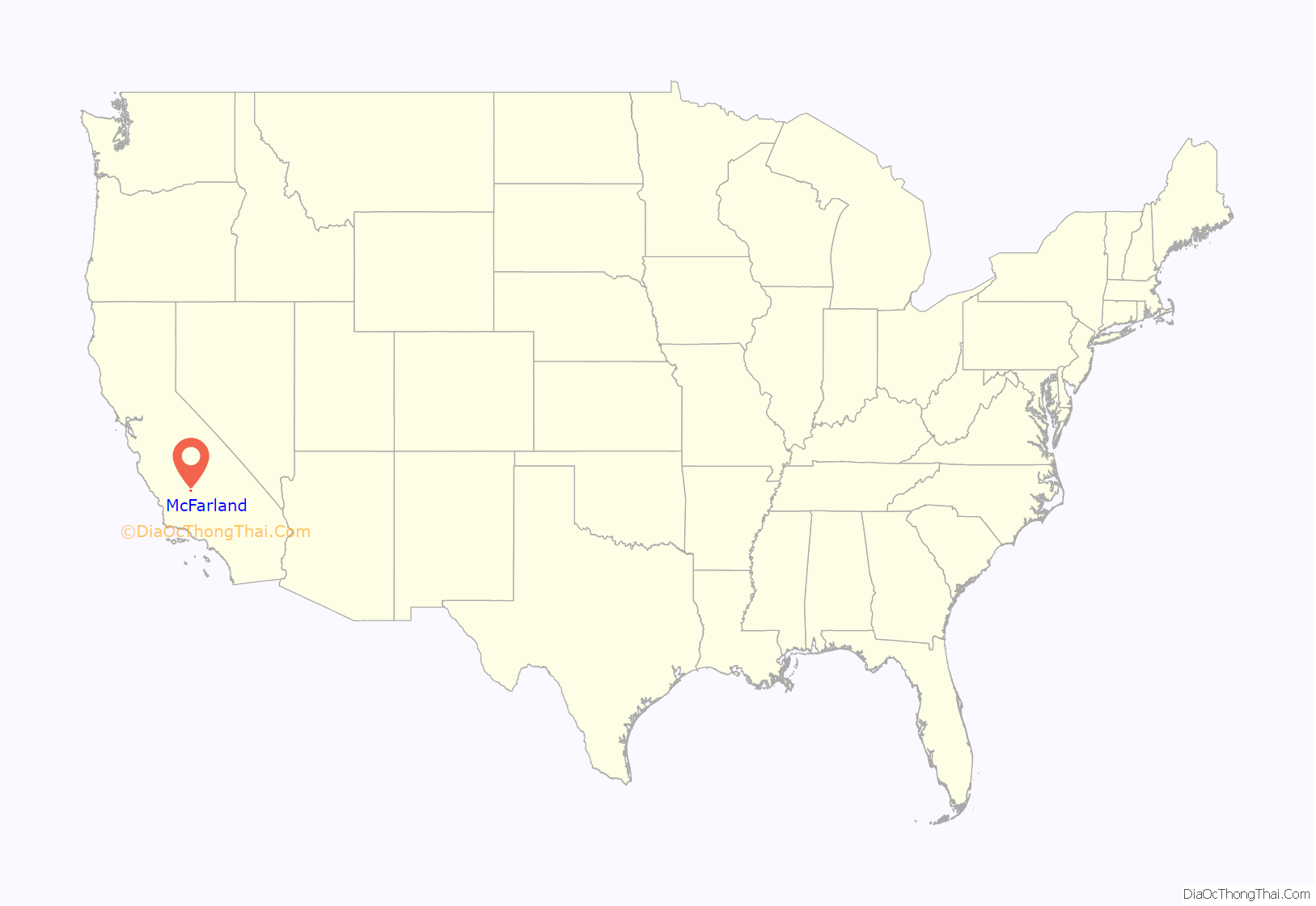
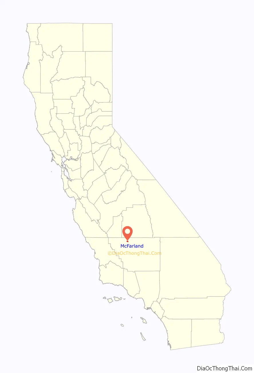
McFarland location map. Where is McFarland city?
History
In the early 1900s, an educator named James Boyd McFarland moved to the Anaheim area from Zanesville, Ohio, to try his hand at real estate and walnut farming.
McFarland visited Kern County in 1907 and was impressed with the land’s crop-growing potential near a community called Hunt’s Siding, which was a small agriculture and livestock-based community that served about 50 families. With help from Bakersfield real estate businessman William Laird, McFarland bought 50 acres at the location of what is now McFarland.
The first post office opened in 1908. The town was founded in 1909 (and later became incorporated in 1957). McFarland grew tremendously during the Great Depression of the 1930s, then the population tapered off during World War II.
In 1950, the Highway 99 expressway and later freeway (then U.S. Route 99), the major corridor of the Central Valley, was constructed, which ended up dividing the town into an east side and west side. McFarland incorporated as a city in the summer of 1957. The name honors J.B. McFarland, the city’s founder.
In 2009 the city re-established its police force after decades of relying on the Kern County Sheriff.
In 2015, the movie McFarland USA was released, based on a true story that occurred at McFarland High School. McFarland USA follows the McFarland Cross Country team and their coach James White (portrayed by Kevin Costner). The cross country team would go on to win 9 state titles.
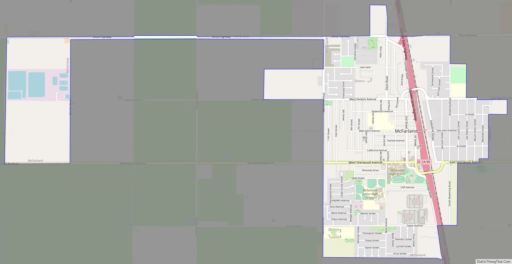
McFarland Road Map
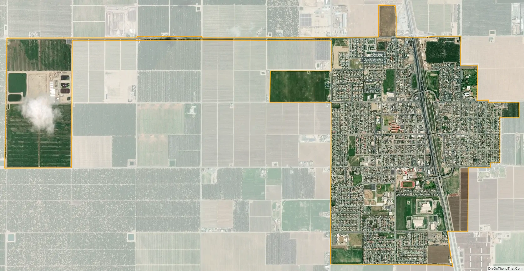
McFarland city Satellite Map
See also
Map of California State and its subdivision:- Alameda
- Alpine
- Amador
- Butte
- Calaveras
- Colusa
- Contra Costa
- Del Norte
- El Dorado
- Fresno
- Glenn
- Humboldt
- Imperial
- Inyo
- Kern
- Kings
- Lake
- Lassen
- Los Angeles
- Madera
- Marin
- Mariposa
- Mendocino
- Merced
- Modoc
- Mono
- Monterey
- Napa
- Nevada
- Orange
- Placer
- Plumas
- Riverside
- Sacramento
- San Benito
- San Bernardino
- San Diego
- San Francisco
- San Joaquin
- San Luis Obispo
- San Mateo
- Santa Barbara
- Santa Clara
- Santa Cruz
- Shasta
- Sierra
- Siskiyou
- Solano
- Sonoma
- Stanislaus
- Sutter
- Tehama
- Trinity
- Tulare
- Tuolumne
- Ventura
- Yolo
- Yuba
- Alabama
- Alaska
- Arizona
- Arkansas
- California
- Colorado
- Connecticut
- Delaware
- District of Columbia
- Florida
- Georgia
- Hawaii
- Idaho
- Illinois
- Indiana
- Iowa
- Kansas
- Kentucky
- Louisiana
- Maine
- Maryland
- Massachusetts
- Michigan
- Minnesota
- Mississippi
- Missouri
- Montana
- Nebraska
- Nevada
- New Hampshire
- New Jersey
- New Mexico
- New York
- North Carolina
- North Dakota
- Ohio
- Oklahoma
- Oregon
- Pennsylvania
- Rhode Island
- South Carolina
- South Dakota
- Tennessee
- Texas
- Utah
- Vermont
- Virginia
- Washington
- West Virginia
- Wisconsin
- Wyoming


