Middletown is a census-designated place (CDP) in Lake County, California, United States. Its population was 725 at the 2020 census down from 1,323 at the 2010 census, which was up slightly from 1,020 at the 2000 census. Middletown was given its name because it is halfway between Lower Lake and Calistoga, which is 17 miles (27 km) to the south. The town was severely damaged by the 2015 Valley Fire.
| Name: | Middletown CDP |
|---|---|
| LSAD Code: | 57 |
| LSAD Description: | CDP (suffix) |
| State: | California |
| County: | Lake County |
| Elevation: | 1,099 ft (335 m) |
| Total Area: | 1.844 sq mi (4.776 km²) |
| Land Area: | 1.844 sq mi (4.776 km²) |
| Water Area: | 0 sq mi (0 km²) 0% |
| Total Population: | 1,323 |
| Population Density: | 720/sq mi (280/km²) |
| ZIP code: | 95461 |
| Area code: | 707 |
| FIPS code: | 0647332 |
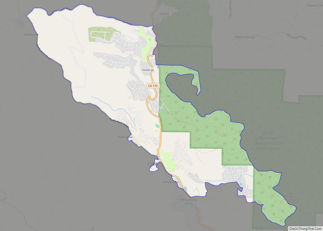
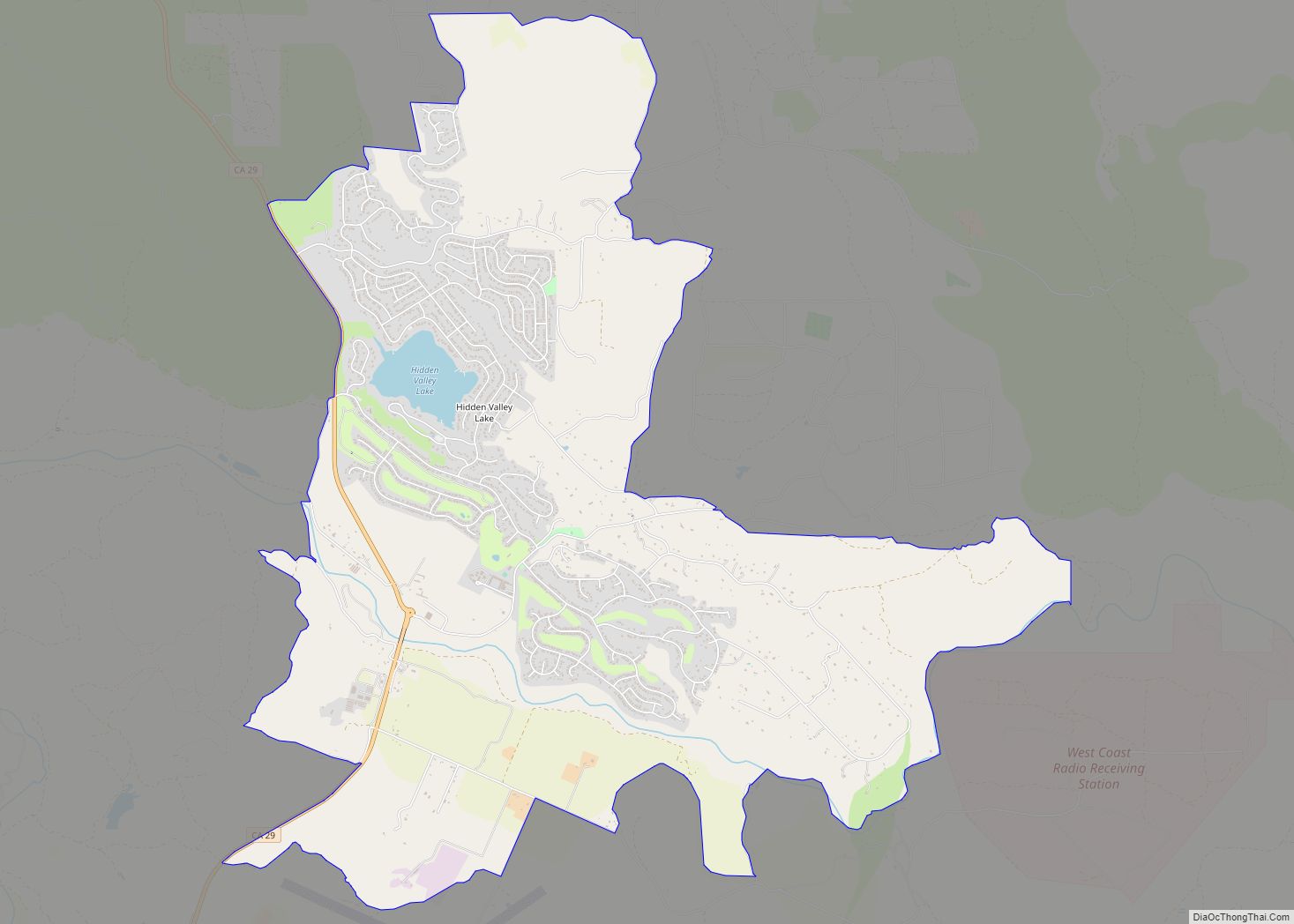
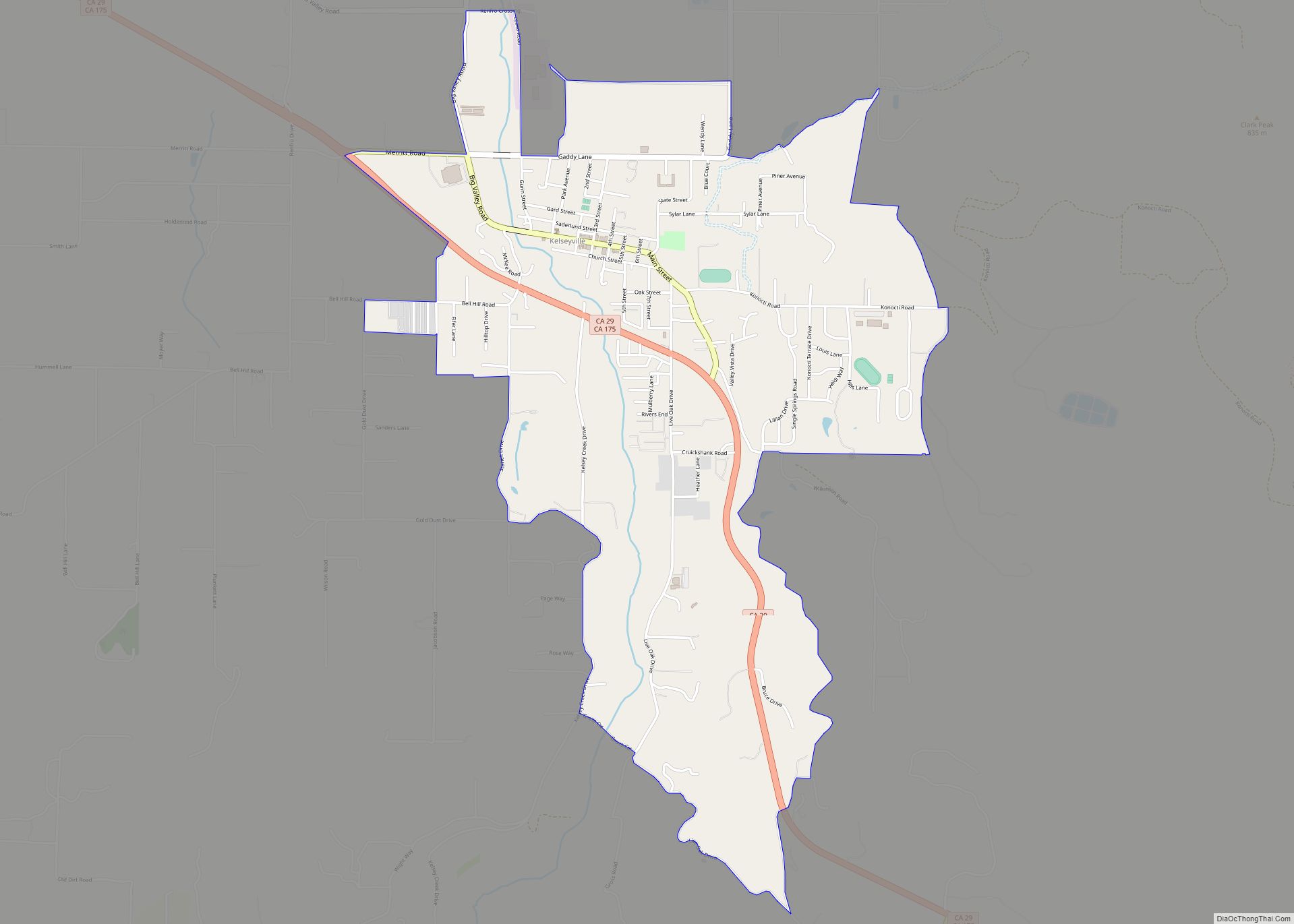
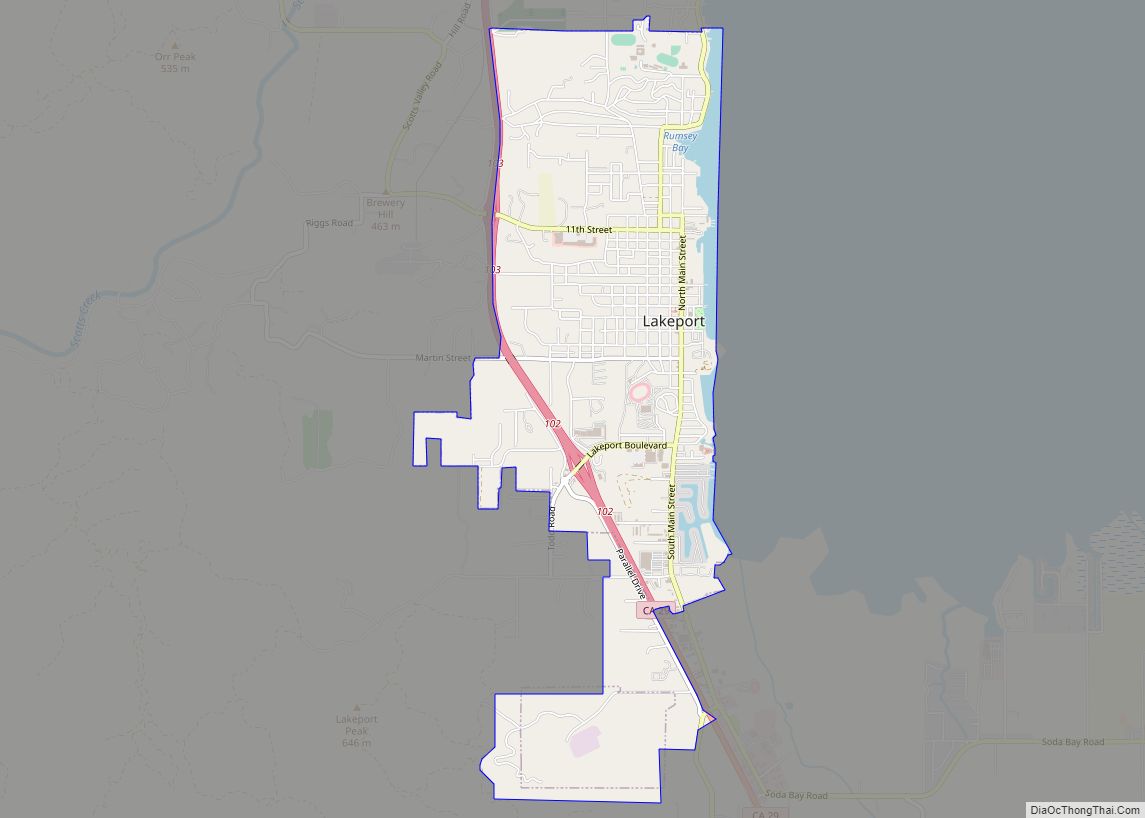
Online Interactive Map
Click on ![]() to view map in "full screen" mode.
to view map in "full screen" mode.
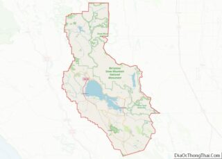
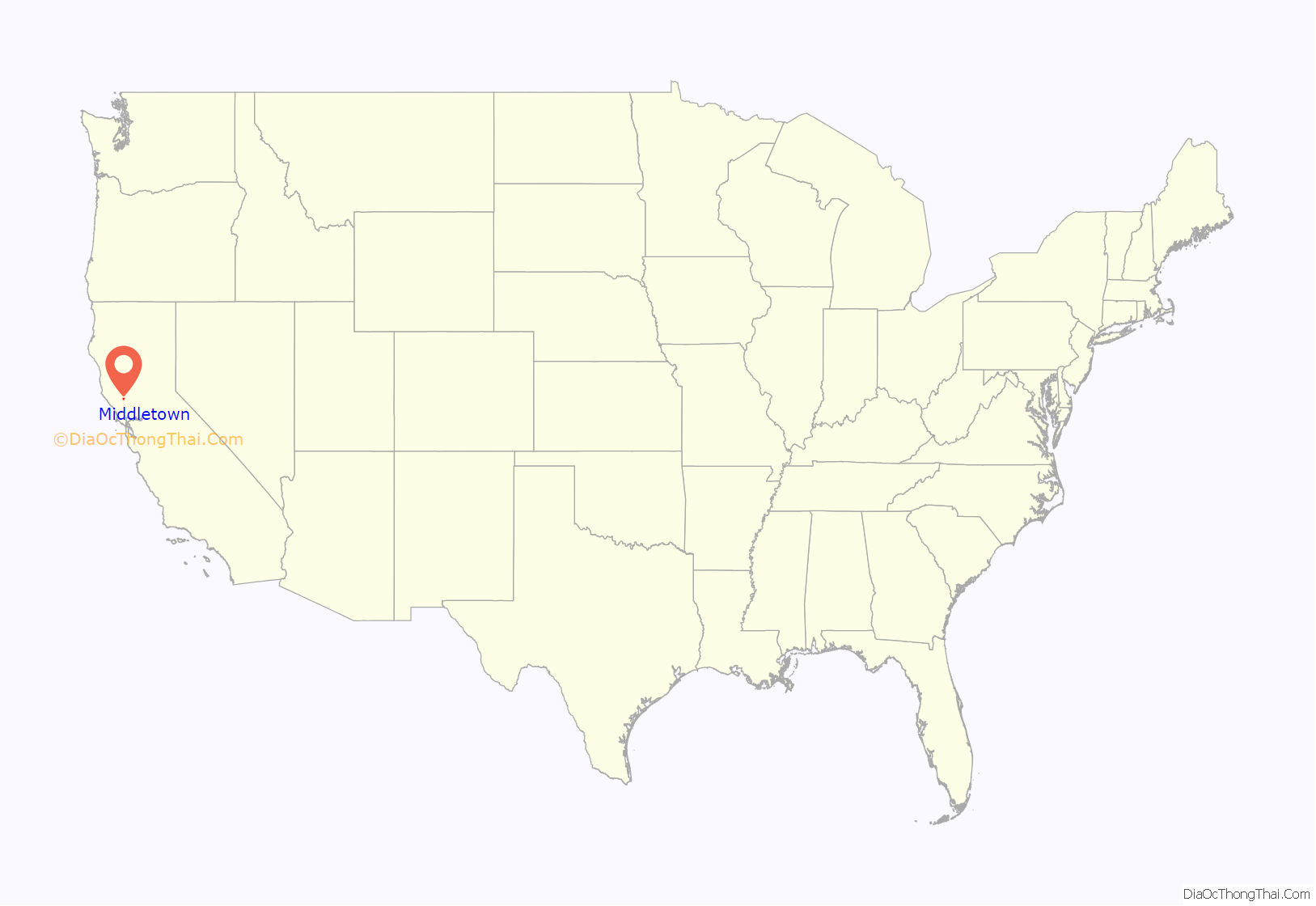
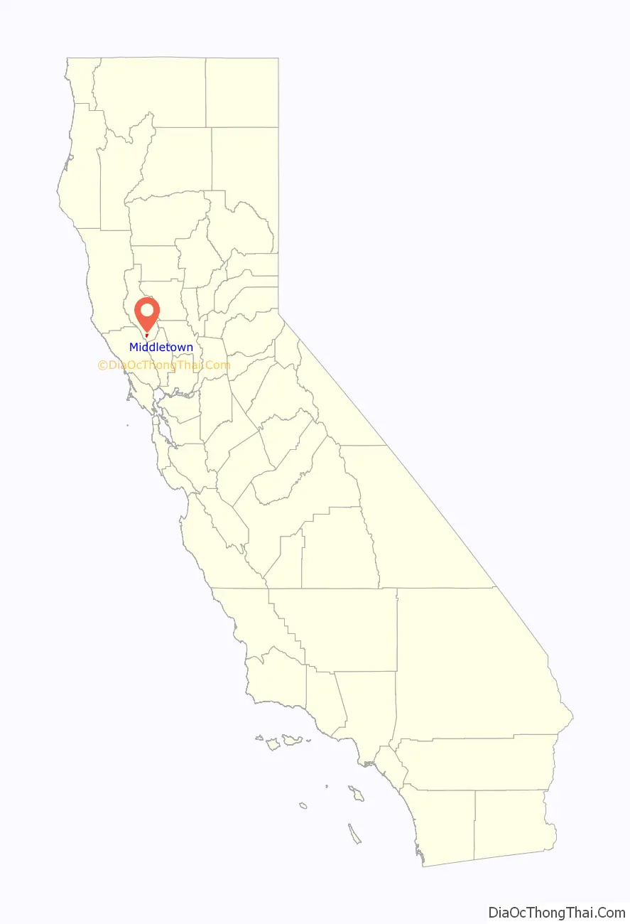
Middletown location map. Where is Middletown CDP?
History
At one time, the community was known as Middle Station, and was a halfway point on the stagecoach route over Mt. St. Helena from Calistoga to Lower Lake. The first house was built at the site by J.H. Berry in 1870. The town began in 1871. The Middleton post office opened in 1871 and changed its name to Middletown in 1875. Middletown enjoyed a robust quicksilver (mercury) mining industry through the end of the 19th century. By the early 1900s, cattle and sheep ranching were prominent, along with some limited pear and walnut production. A resort economy sprung up around the various natural springs, and the area around Middletown attracted vacationers from the Bay Area through the 1950s. Many of the resorts closed in the 1960s. In the 1970s and early 1980s, exploitation of nearby geothermal energy resources brought an influx of workers into the local economy. Electrical power plants powered by “steam wells” were built in the mountains above Middletown. As housing prices in the Bay Area increased in the late 20th century, Middletown and nearby Hidden Valley Lake enjoyed a population boom as commuters moved to the Middletown area looking for affordable housing. Nearby tourism includes Harbin Hot Springs and the Twin Pine Casino located on the local Rancheria south of the town. A large resort, 2 miles (3.2 km) southeast of town, was proposed in 2020, consisting of low-density residential development, preserved open space, retail space, restaurants, and several boutique hotels.
2015 Valley Fire
in the late afternoon and early evening hours of September 12th 2015, about half the town, including city blocks, commercial buildings and an apartment complex, was destroyed by the fast-moving Valley Fire. The town was directly in the path of the advancing fire, and suffered a “devastating blow”.
2019 Kincade Fire
The 2019 Kincade Fire started in Sonoma County and at some point prompted mandatory evacuations in Lake County.
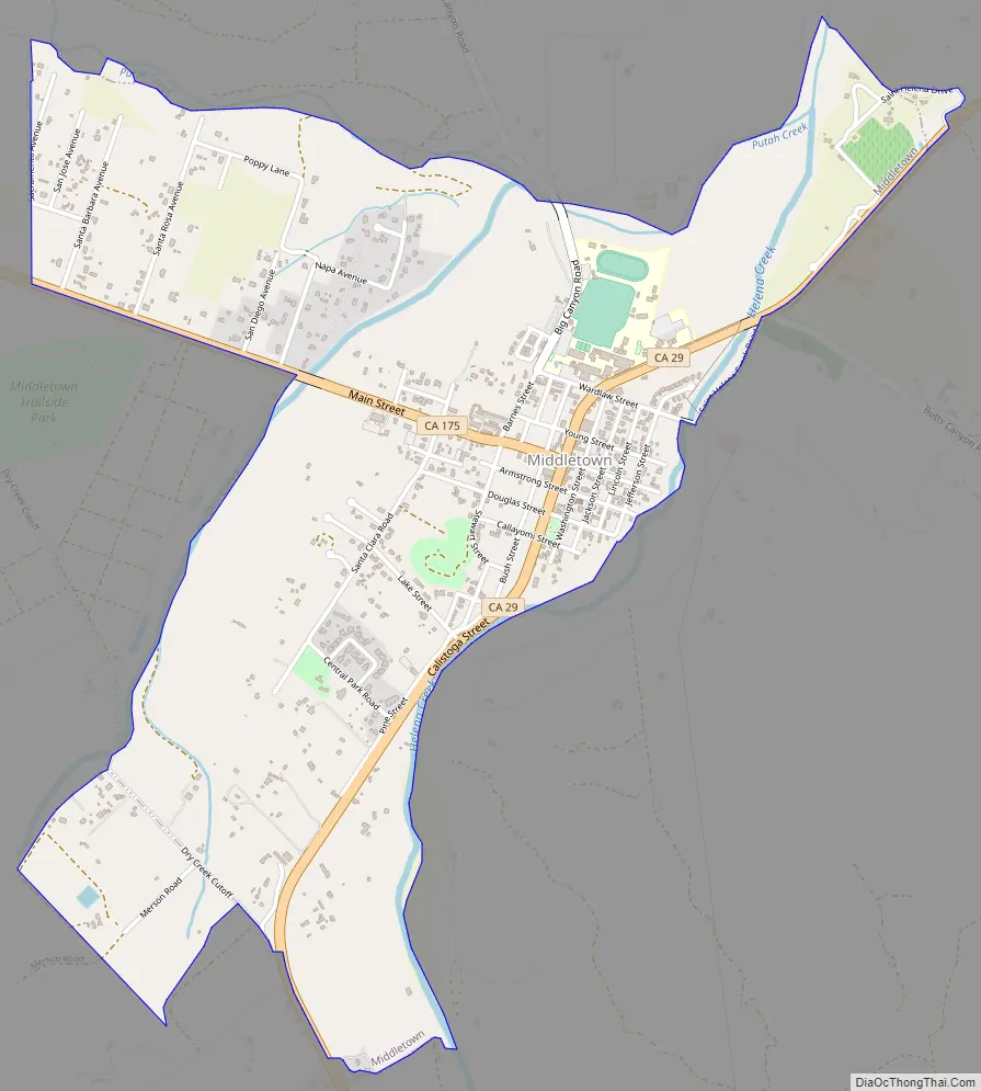
Middletown Road Map
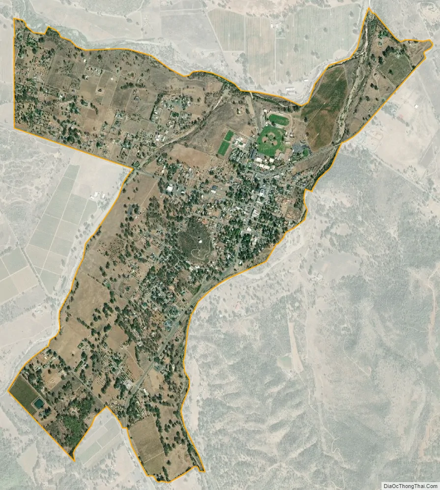
Middletown city Satellite Map
Geography
Middletown has an elevation of 1,099 feet (335 m). According to the United States Census Bureau, the CDP has a total area of 1.8 square miles (4.7 km), all of it land.
Climate
This region experiences hot and dry summers, with average summer monthly temperatures above 97 °F (36 °C). According to the Köppen Climate Classification system, Middletown has a warm-summer Mediterranean climate, abbreviated “Csb” on climate maps.
See also
Map of California State and its subdivision:- Alameda
- Alpine
- Amador
- Butte
- Calaveras
- Colusa
- Contra Costa
- Del Norte
- El Dorado
- Fresno
- Glenn
- Humboldt
- Imperial
- Inyo
- Kern
- Kings
- Lake
- Lassen
- Los Angeles
- Madera
- Marin
- Mariposa
- Mendocino
- Merced
- Modoc
- Mono
- Monterey
- Napa
- Nevada
- Orange
- Placer
- Plumas
- Riverside
- Sacramento
- San Benito
- San Bernardino
- San Diego
- San Francisco
- San Joaquin
- San Luis Obispo
- San Mateo
- Santa Barbara
- Santa Clara
- Santa Cruz
- Shasta
- Sierra
- Siskiyou
- Solano
- Sonoma
- Stanislaus
- Sutter
- Tehama
- Trinity
- Tulare
- Tuolumne
- Ventura
- Yolo
- Yuba
- Alabama
- Alaska
- Arizona
- Arkansas
- California
- Colorado
- Connecticut
- Delaware
- District of Columbia
- Florida
- Georgia
- Hawaii
- Idaho
- Illinois
- Indiana
- Iowa
- Kansas
- Kentucky
- Louisiana
- Maine
- Maryland
- Massachusetts
- Michigan
- Minnesota
- Mississippi
- Missouri
- Montana
- Nebraska
- Nevada
- New Hampshire
- New Jersey
- New Mexico
- New York
- North Carolina
- North Dakota
- Ohio
- Oklahoma
- Oregon
- Pennsylvania
- Rhode Island
- South Carolina
- South Dakota
- Tennessee
- Texas
- Utah
- Vermont
- Virginia
- Washington
- West Virginia
- Wisconsin
- Wyoming