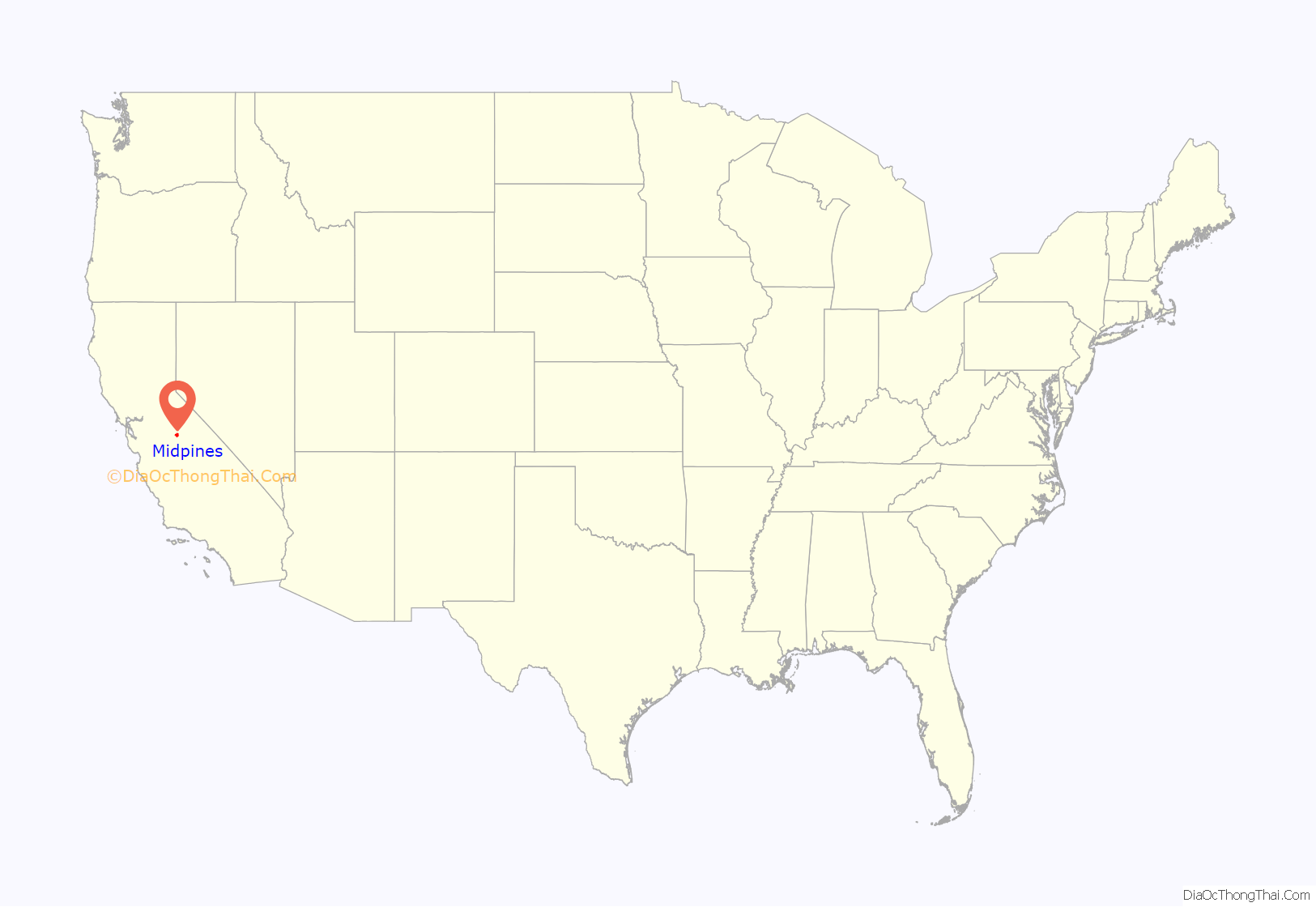
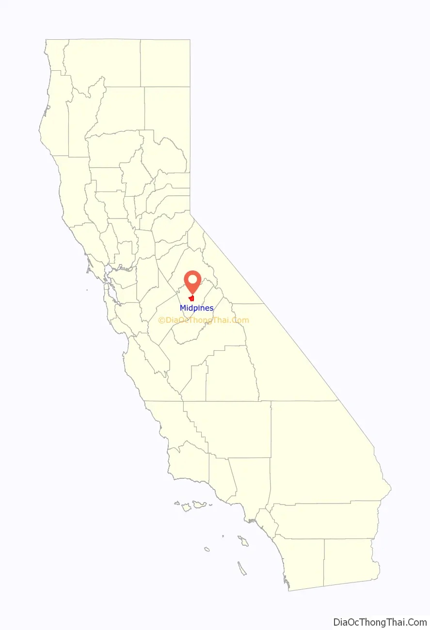
Midpines is a census-designated place in Mariposa County, California. It lies among the Sierra Nevada foothills of the central part of the state at an elevation of 2,585 feet (788 m), 5 miles (8 km) northeast of Mariposa, the county seat, and 22 miles (35 km) by road southwest of El Portal. It is composed of scattered residential areas along both sides of State Route 140, which is one of three principal routes to Yosemite National Park, some 30 miles (48 km) to the east of Midpines. The population was 379 at the 2020 census, down from 1,204 in 2010, when the CDP was drawn to cover significantly more area.
Midpines began as a resort, founded by Newell D. Chamberlain, in 1926. The first post office opened in 1929.
| Name: | Midpines CDP |
|---|---|
| LSAD Code: | 57 |
| LSAD Description: | CDP (suffix) |
| State: | California |
| County: | Mariposa County |
| Elevation: | 2,585 ft (788 m) |
| Total Area: | 4.362 sq mi (11.30 km²) |
| Land Area: | 4.359 sq mi (11.29 km²) |
| Water Area: | 0.03 sq mi (0.08 km²) |
| Total Population: | 379 |
| ZIP code: | 95345 |
| FIPS code: | 0647374 |
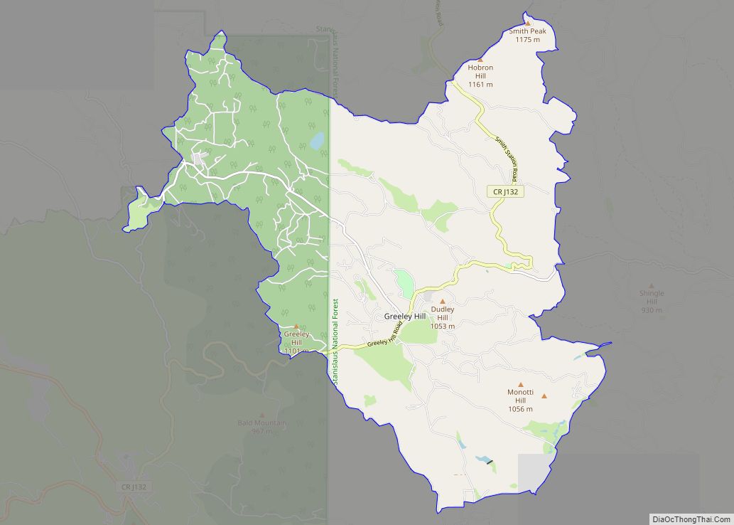
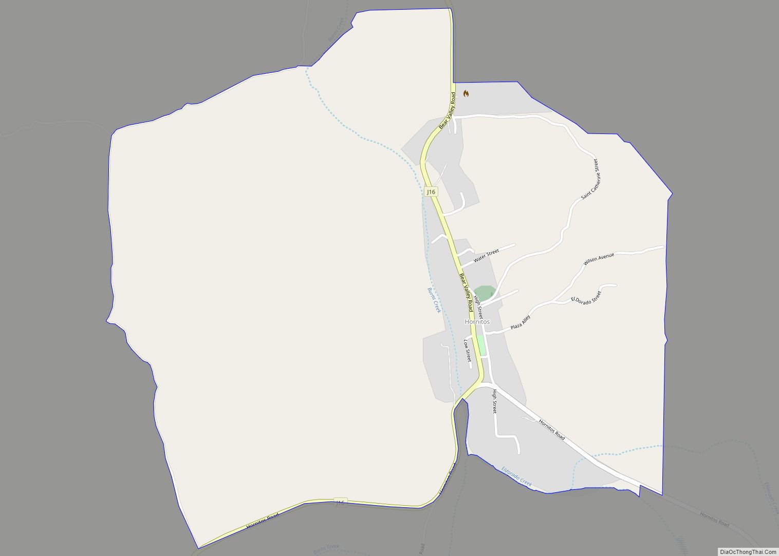
Online Interactive Map
Click on ![]() to view map in "full screen" mode.
to view map in "full screen" mode.
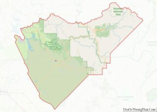
Midpines location map. Where is Midpines CDP?
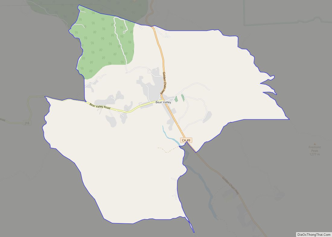
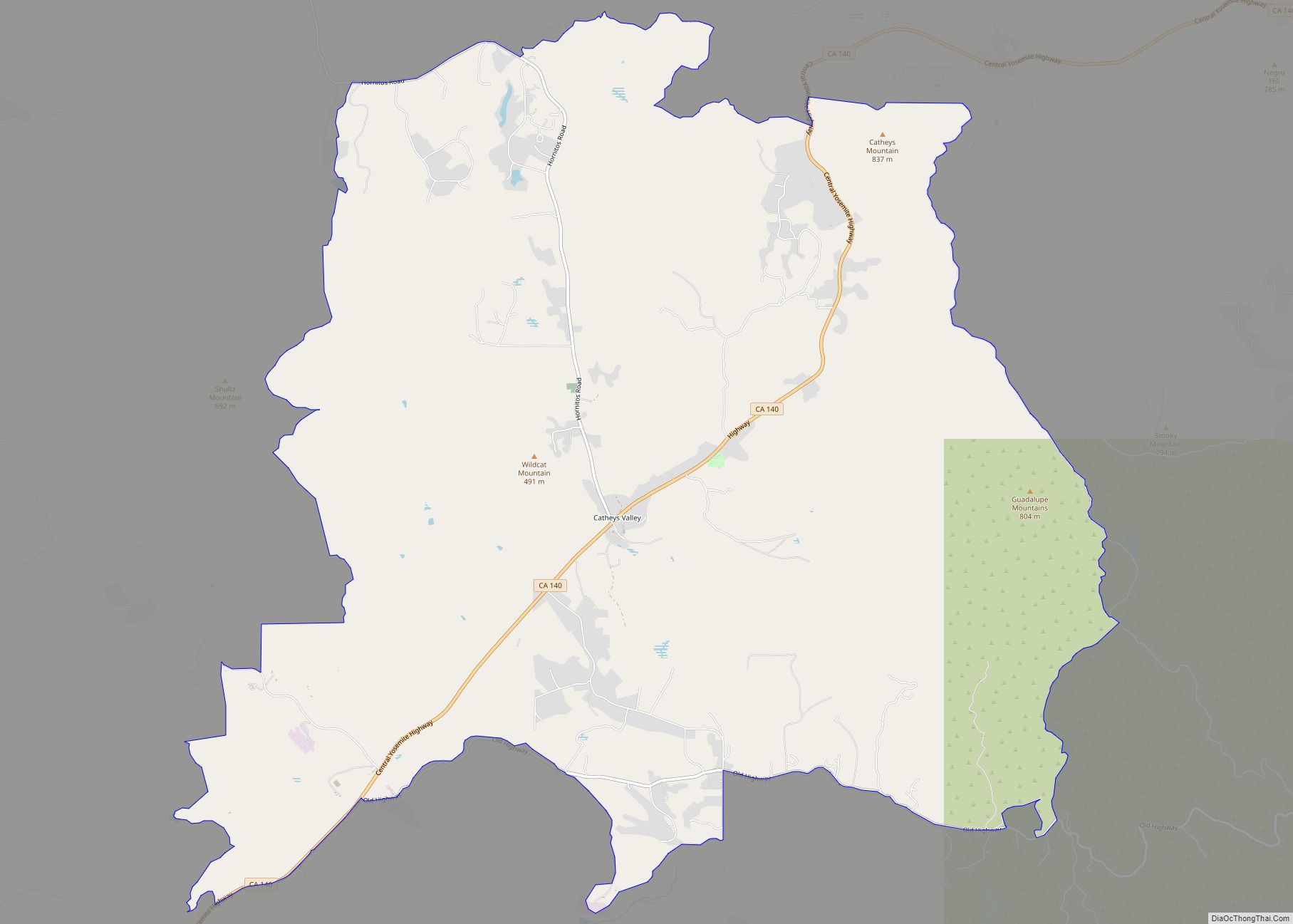
Midpines Road Map

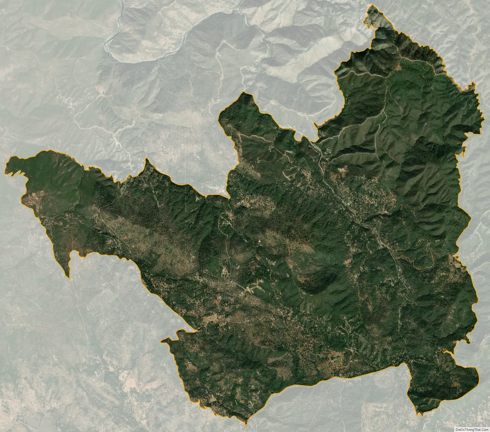
Midpines city Satellite Map
Geography
Midpines is in central Mariposa County and according to the U.S. Census Bureau covers an area of 4.36 square miles (11.3 km), of which 0.03 square miles (0.08 km), or 0.69%, are land. The community is in the valley of Bear Creek, which flows northwest to join the Merced River at Briceburg.
See also
Map of California State and its subdivision:- Alameda
- Alpine
- Amador
- Butte
- Calaveras
- Colusa
- Contra Costa
- Del Norte
- El Dorado
- Fresno
- Glenn
- Humboldt
- Imperial
- Inyo
- Kern
- Kings
- Lake
- Lassen
- Los Angeles
- Madera
- Marin
- Mariposa
- Mendocino
- Merced
- Modoc
- Mono
- Monterey
- Napa
- Nevada
- Orange
- Placer
- Plumas
- Riverside
- Sacramento
- San Benito
- San Bernardino
- San Diego
- San Francisco
- San Joaquin
- San Luis Obispo
- San Mateo
- Santa Barbara
- Santa Clara
- Santa Cruz
- Shasta
- Sierra
- Siskiyou
- Solano
- Sonoma
- Stanislaus
- Sutter
- Tehama
- Trinity
- Tulare
- Tuolumne
- Ventura
- Yolo
- Yuba
- Alabama
- Alaska
- Arizona
- Arkansas
- California
- Colorado
- Connecticut
- Delaware
- District of Columbia
- Florida
- Georgia
- Hawaii
- Idaho
- Illinois
- Indiana
- Iowa
- Kansas
- Kentucky
- Louisiana
- Maine
- Maryland
- Massachusetts
- Michigan
- Minnesota
- Mississippi
- Missouri
- Montana
- Nebraska
- Nevada
- New Hampshire
- New Jersey
- New Mexico
- New York
- North Carolina
- North Dakota
- Ohio
- Oklahoma
- Oregon
- Pennsylvania
- Rhode Island
- South Carolina
- South Dakota
- Tennessee
- Texas
- Utah
- Vermont
- Virginia
- Washington
- West Virginia
- Wisconsin
- Wyoming