Moss Landing, formerly Moss, is an unincorporated community and census-designated place (CDP) in Monterey County, California, United States. It is located 18 miles (29 km) north-northeast of Monterey, at an elevation of 10 feet (3.048 m). It is on the shore of Monterey Bay, at the mouth of Elkhorn Slough and at the head of the submarine Monterey Canyon.
| Name: | Moss Landing CDP |
|---|---|
| LSAD Code: | 57 |
| LSAD Description: | CDP (suffix) |
| State: | California |
| County: | Monterey County |
| Elevation: | 10 ft (3 m) |
| Total Area: | 0.602 sq mi (1.56 km²) |
| Land Area: | 0.392 sq mi (1.02 km²) |
| Water Area: | 0.210 sq mi (0.54 km²) 34.88% |
| Total Population: | 237 |
| Population Density: | 604.6/sq mi (233.4/km²) |
| ZIP code: | 95039 |
| Area code: | 831 |
| FIPS code: | 0649488 |
Online Interactive Map
Click on ![]() to view map in "full screen" mode.
to view map in "full screen" mode.
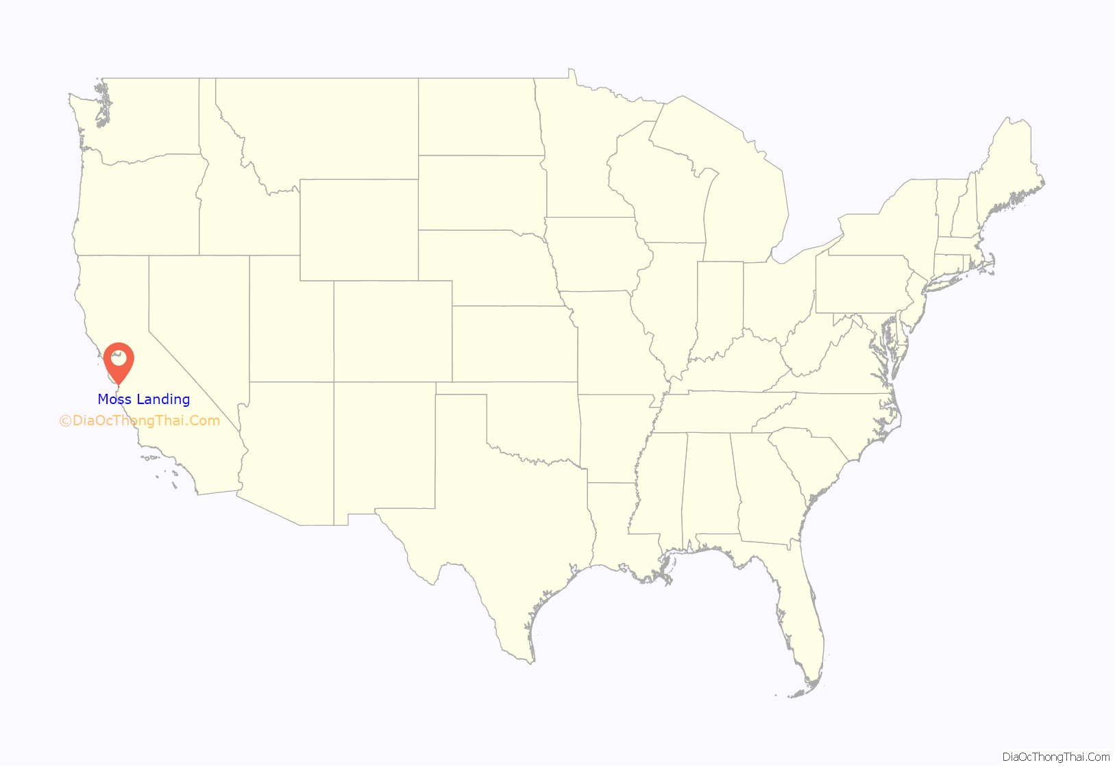
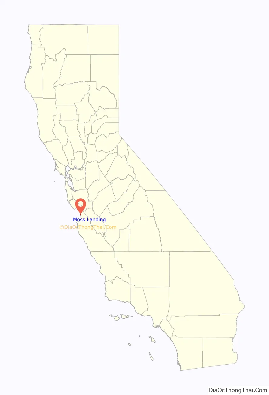
Moss Landing location map. Where is Moss Landing CDP?
History
The earliest residents of the Moss Landing/Elkhorn Slough area were the Ohlone people. Evidence from archaeological digs show that they may have lived here as long ago as 4,000 years. The Spanish forced the Ohlone into the mission system in the 1700s from which few survived. “A total of 81,000 Indians were baptized and 60,000 deaths were recorded.” After the mission system was secularized, the Spanish government granted vast ranchos to soldiers and others with connections, including the 30,901-acre (125.05 km) Rancho Bolsa Nueva y Moro Cojo. This grant extended from Moss Landing to present-day Prunedale and south to Castroville.
They farmed the land and ran cattle over the nearby hills. Americans arrived in the mid-1800s and farmers turned the area into cropland.
In the early 1860s Charles Moss, a Texas ship captain, established with the help of a partner a landing and wharf to handle the emerging grain trade in the Salinas Valley.
William B. Post earned a reputation as a skilled bear and deer hunter in the Big Sur region, and he traded in hides and buckskin. This work drew him north to Moss Landing. Post opened one of the first grain warehouses along the coast at Moss Landing. Flat bottom boats brought grain from all over the Salinas Valley to Elkhorn Slough and unloaded at Post’s warehouse. W.B. became an agent for the steamship company of Goodall, Nelson and Perkins. The success of the shipping point stimulated the growth of Castroville, one of Monterey County’s first municipalities, which served to support Moss Landing commerce.
The location was initially named “Moss”, after Charles Moss. The Moss post office opened in 1895 and in 1917 changed its name to “Moss Landing”. It became a busy whaling and fishing port and a location for fish processing plants and canneries. The Moss Landing Harbor District, established in the 1940s, dredged channels and built piers. The Moss Landing Power Plant opened in 1950. The California State University system founded Moss Landing Marine Laboratories in 1966 (it was rebuilt nearby after the Loma Prieta Earthquake destroyed the facility in 1989), and in the mid-1990s the Monterey Bay Aquarium Research Institute was moved to Moss Landing from Pacific Grove. In the 1980s, then-Monterey County Supervisor Marc Del Piero secured millions of dollars in federal grants to cure historic and chronic water pollution issues and sanitary sewers were installed.
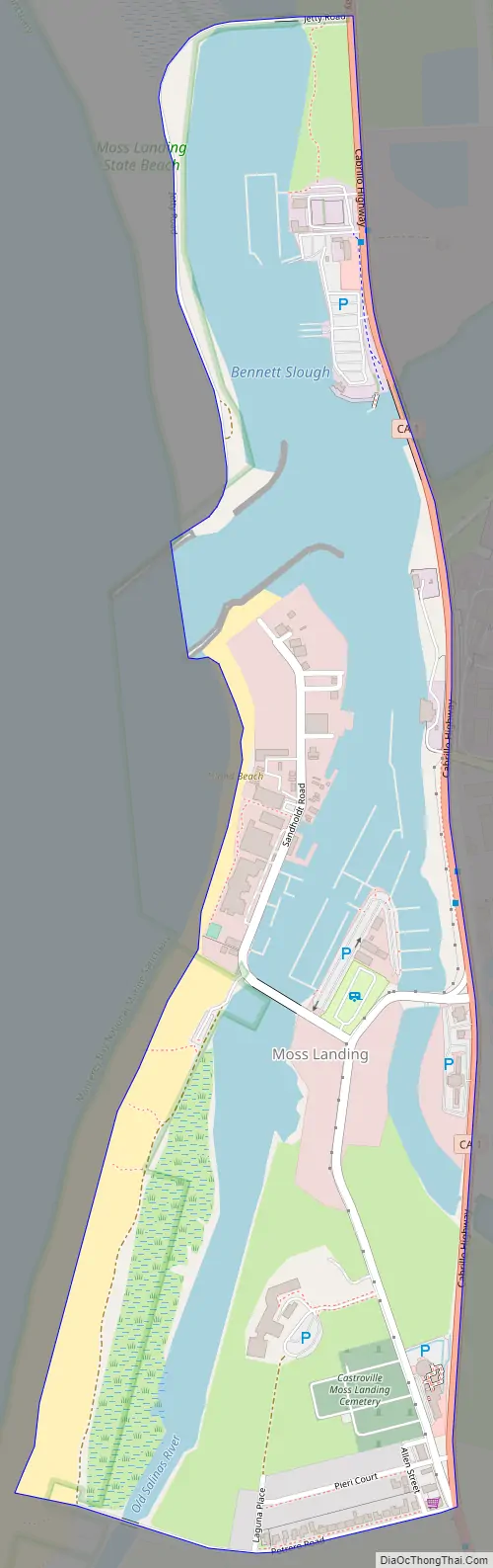
Moss Landing Road Map
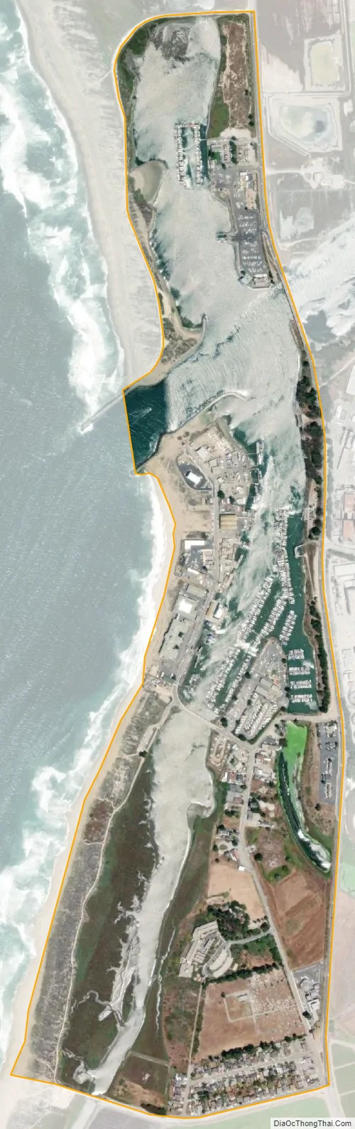
Moss Landing city Satellite Map
Geography
Moss Landing is located in northern Monterey County, where Elkhorn Slough becomes an estuary as it flows into Monterey Bay at the head of the Monterey Submarine Canyon. California State Route 1 follows the eastern edge of the community, leading north 8 miles (13 km) to Watsonville and southwest 18 miles (29 km) to Monterey.
According to the United States Census Bureau, the CDP has a total area of 0.6 square miles (1.6 km), of which 0.4 square miles (1.0 km) are land and 0.2 square miles (0.5 km), or 34.88%, are water.
Climate
This region experiences warm (but not hot) and dry summers, with no average monthly temperatures above 71.6 °F. According to the Köppen Climate Classification system, Moss Landing has a warm-summer Mediterranean climate, abbreviated “Csb” on climate maps.
See also
Map of California State and its subdivision:- Alameda
- Alpine
- Amador
- Butte
- Calaveras
- Colusa
- Contra Costa
- Del Norte
- El Dorado
- Fresno
- Glenn
- Humboldt
- Imperial
- Inyo
- Kern
- Kings
- Lake
- Lassen
- Los Angeles
- Madera
- Marin
- Mariposa
- Mendocino
- Merced
- Modoc
- Mono
- Monterey
- Napa
- Nevada
- Orange
- Placer
- Plumas
- Riverside
- Sacramento
- San Benito
- San Bernardino
- San Diego
- San Francisco
- San Joaquin
- San Luis Obispo
- San Mateo
- Santa Barbara
- Santa Clara
- Santa Cruz
- Shasta
- Sierra
- Siskiyou
- Solano
- Sonoma
- Stanislaus
- Sutter
- Tehama
- Trinity
- Tulare
- Tuolumne
- Ventura
- Yolo
- Yuba
- Alabama
- Alaska
- Arizona
- Arkansas
- California
- Colorado
- Connecticut
- Delaware
- District of Columbia
- Florida
- Georgia
- Hawaii
- Idaho
- Illinois
- Indiana
- Iowa
- Kansas
- Kentucky
- Louisiana
- Maine
- Maryland
- Massachusetts
- Michigan
- Minnesota
- Mississippi
- Missouri
- Montana
- Nebraska
- Nevada
- New Hampshire
- New Jersey
- New Mexico
- New York
- North Carolina
- North Dakota
- Ohio
- Oklahoma
- Oregon
- Pennsylvania
- Rhode Island
- South Carolina
- South Dakota
- Tennessee
- Texas
- Utah
- Vermont
- Virginia
- Washington
- West Virginia
- Wisconsin
- Wyoming


