Mount Shasta (also known as Mount Shasta City) is a city in Siskiyou County, California, at about 3,600 feet (1,100 m) above sea level on the flanks of Mount Shasta, a prominent northern California landmark. The city is less than 9 miles (14 km) southwest of the summit of its namesake volcano. Its population is 3,223 as of the 2020 census, down from 3,394 from the 2010 census.
| Name: | Mount Shasta city |
|---|---|
| LSAD Code: | 25 |
| LSAD Description: | city (suffix) |
| State: | California |
| County: | Siskiyou County |
| Incorporated: | May 31, 1905 |
| Elevation: | 3,586 ft (1,093 m) |
| Total Area: | 3.77 sq mi (9.76 km²) |
| Land Area: | 3.77 sq mi (9.75 km²) |
| Water Area: | 0.00 sq mi (0.01 km²) 0.10% |
| Total Population: | 3,223 |
| Population Density: | 850/sq mi (330/km²) |
| ZIP code: | 96067 |
| Area code: | 530 |
| FIPS code: | 0649852 |
| Website: | mtshastaca.gov |
Online Interactive Map
Click on ![]() to view map in "full screen" mode.
to view map in "full screen" mode.
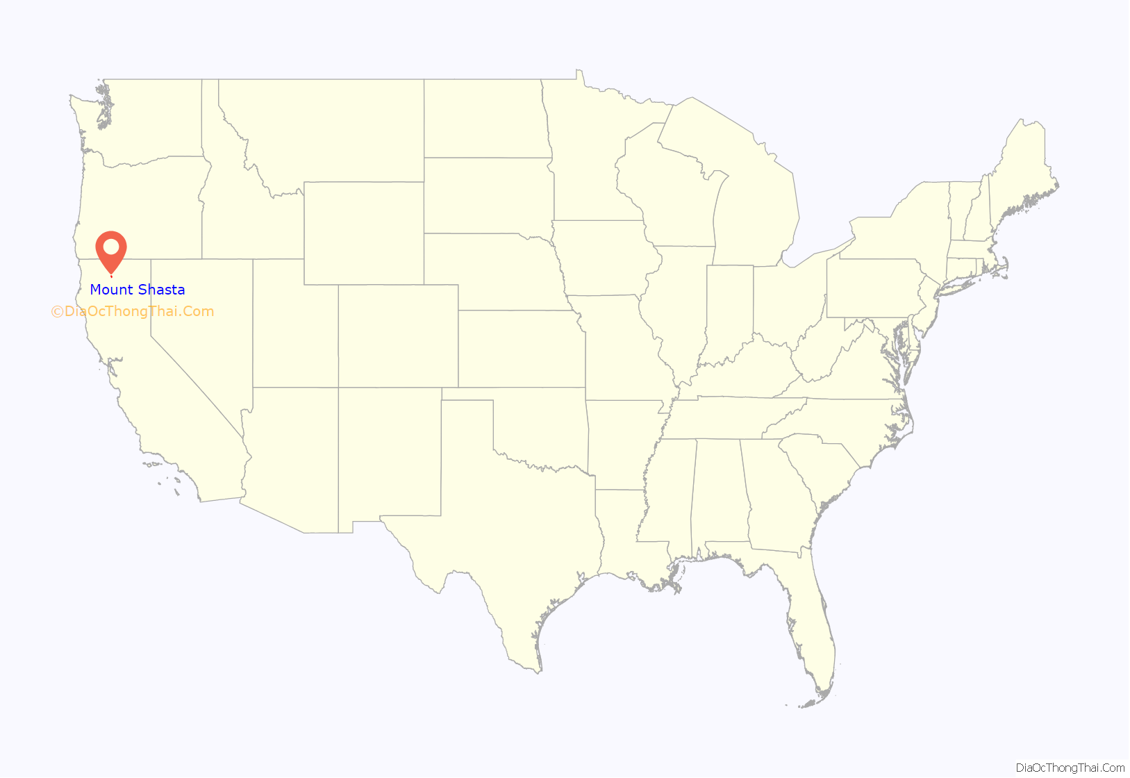
Mount Shasta location map. Where is Mount Shasta city?
History
The site of the present-day city of Mount Shasta was within the range of the Okwanuchu tribe of Native Americans. During the 1820s, early Euro-American trappers and hunters first passed through the area, following the path of the Siskiyou Trail. The Siskiyou Trail was based on a network of ancient Native American footpaths connecting California and the Pacific Northwest. The discovery of gold at nearby Yreka, California in 1851 dramatically increased traffic along the Siskiyou Trail and through the site of present-day Mount Shasta. Pioneer Ross McCloud built one of the first lumber mills in the area, near the site of the present Sisson Museum. The completion of a stagecoach road between Yreka and Upper Soda Springs in the late 1850s led to the building of Sisson’s Hotel, as a stop for weary travelers, and as a staging ground for adventuresome tourists intending to climb Mount Shasta.
The area where the town grew was known first as Strawberry Valley, and then as Berryvale. The post office opened in 1870 as Berryvale. After 1886 it was known as Sisson after a local businessman, Justin Hinckley Sisson who ran a stagecoach inn and tavern as well as donated the land for the town site and the Central Pacific Railroad station in 1886. Street names honor members of Sisson’s family.
The 1887 completion of the Central Pacific Railroad, built along the line of the Siskiyou Trail, brought a dramatic increase in tourism, lumbering, and population into Mount Shasta. This early development continued to focus on tourism and lumbering. The early 1900s saw the influx of a large number of Italian immigrants to Mount Shasta and neighboring towns, most of whom were employed in the timber industry.
The city incorporated on May 31, 1905. The name of the city was finalized “City of Mount Shasta” on November 10, 1925, after a popular vote in 1922.
Mount Shasta Road Map
Mount Shasta city Satellite Map
Geography
Mount Shasta is located at 41°18’52” North, 122°18’41” West (41.314542, -122.311510), along Interstate 5 south of Weed and north of Dunsmuir, California.
According to the United States Census Bureau, the city has a total area of 3.8 square miles (9.8 km), of which 3.8 square miles (9.8 km) is land and only 0.10% of it is covered by water.
The area hydrology consists of an unnamed stream in the south part of town which joins Big Springs Creek, which then flows south as Cold Creek to join the headwaters of the South Fork of the Sacramento River. The typical depth to groundwater is quite shallow in the predominant alluvium.
The settlement is on the distal gently sloping southwest flanks of Mount Shasta, with the chief surficial soils being Quaternary alluvium. This alluvium is adjacent to and probably underlain by volcanic clastic rock deposited by Mount Shasta in the course of its development. Groundwater elevation is approximately at the elevation of the underlying native black peat soil. Where it occurs this peat, of approximately two feet thickness, is underlain by stream deposit sands and gravels.
See also
Map of California State and its subdivision:- Alameda
- Alpine
- Amador
- Butte
- Calaveras
- Colusa
- Contra Costa
- Del Norte
- El Dorado
- Fresno
- Glenn
- Humboldt
- Imperial
- Inyo
- Kern
- Kings
- Lake
- Lassen
- Los Angeles
- Madera
- Marin
- Mariposa
- Mendocino
- Merced
- Modoc
- Mono
- Monterey
- Napa
- Nevada
- Orange
- Placer
- Plumas
- Riverside
- Sacramento
- San Benito
- San Bernardino
- San Diego
- San Francisco
- San Joaquin
- San Luis Obispo
- San Mateo
- Santa Barbara
- Santa Clara
- Santa Cruz
- Shasta
- Sierra
- Siskiyou
- Solano
- Sonoma
- Stanislaus
- Sutter
- Tehama
- Trinity
- Tulare
- Tuolumne
- Ventura
- Yolo
- Yuba
- Alabama
- Alaska
- Arizona
- Arkansas
- California
- Colorado
- Connecticut
- Delaware
- District of Columbia
- Florida
- Georgia
- Hawaii
- Idaho
- Illinois
- Indiana
- Iowa
- Kansas
- Kentucky
- Louisiana
- Maine
- Maryland
- Massachusetts
- Michigan
- Minnesota
- Mississippi
- Missouri
- Montana
- Nebraska
- Nevada
- New Hampshire
- New Jersey
- New Mexico
- New York
- North Carolina
- North Dakota
- Ohio
- Oklahoma
- Oregon
- Pennsylvania
- Rhode Island
- South Carolina
- South Dakota
- Tennessee
- Texas
- Utah
- Vermont
- Virginia
- Washington
- West Virginia
- Wisconsin
- Wyoming
