Newman is a city in Stanislaus County, California, located in the San Joaquin Valley region of the greater Central Valley. The city had a population of 10,224 at the 2010 census, up from 7,093 at the 2000 census. Founded in 1888 by Simon Newman, the city is a largely agricultural community, known for its annual Fall Festival.
| Name: | Newman city |
|---|---|
| LSAD Code: | 25 |
| LSAD Description: | city (suffix) |
| State: | California |
| County: | Stanislaus County |
| Incorporated: | June 10, 1908 |
| Elevation: | 89 ft (27 m) |
| Total Area: | 2.06 sq mi (5.34 km²) |
| Land Area: | 2.06 sq mi (5.34 km²) |
| Water Area: | 0.00 sq mi (0.00 km²) 0% |
| Total Population: | 12,351 |
| Population Density: | 5,712.07/sq mi (2,205.56/km²) |
| ZIP code: | 95360 |
| Area code: | 209 |
| FIPS code: | 0651140 |
| GNISfeature ID: | 0277563 |
| Website: | www.cityofnewman.com |
Online Interactive Map
Click on ![]() to view map in "full screen" mode.
to view map in "full screen" mode.
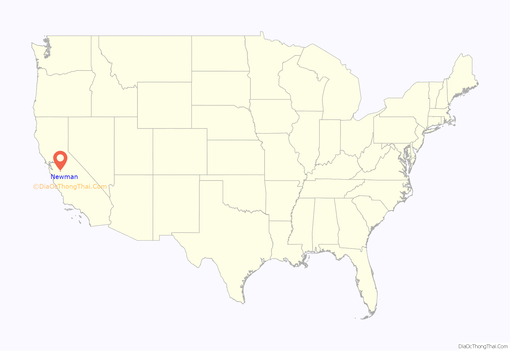
Newman location map. Where is Newman city?
History
Simon Newman was born as Simon Neumann in Willmars, Bavaria, German Confederation in 1846. In 1862, the young Jew decided to emigrate to California, where his sister Fanny Wangenheim already lived. Initially speaking only German and Hebrew he learned English and translated his family name to Newman. After becoming a successful businessman he founded the town of Newman in 1888.
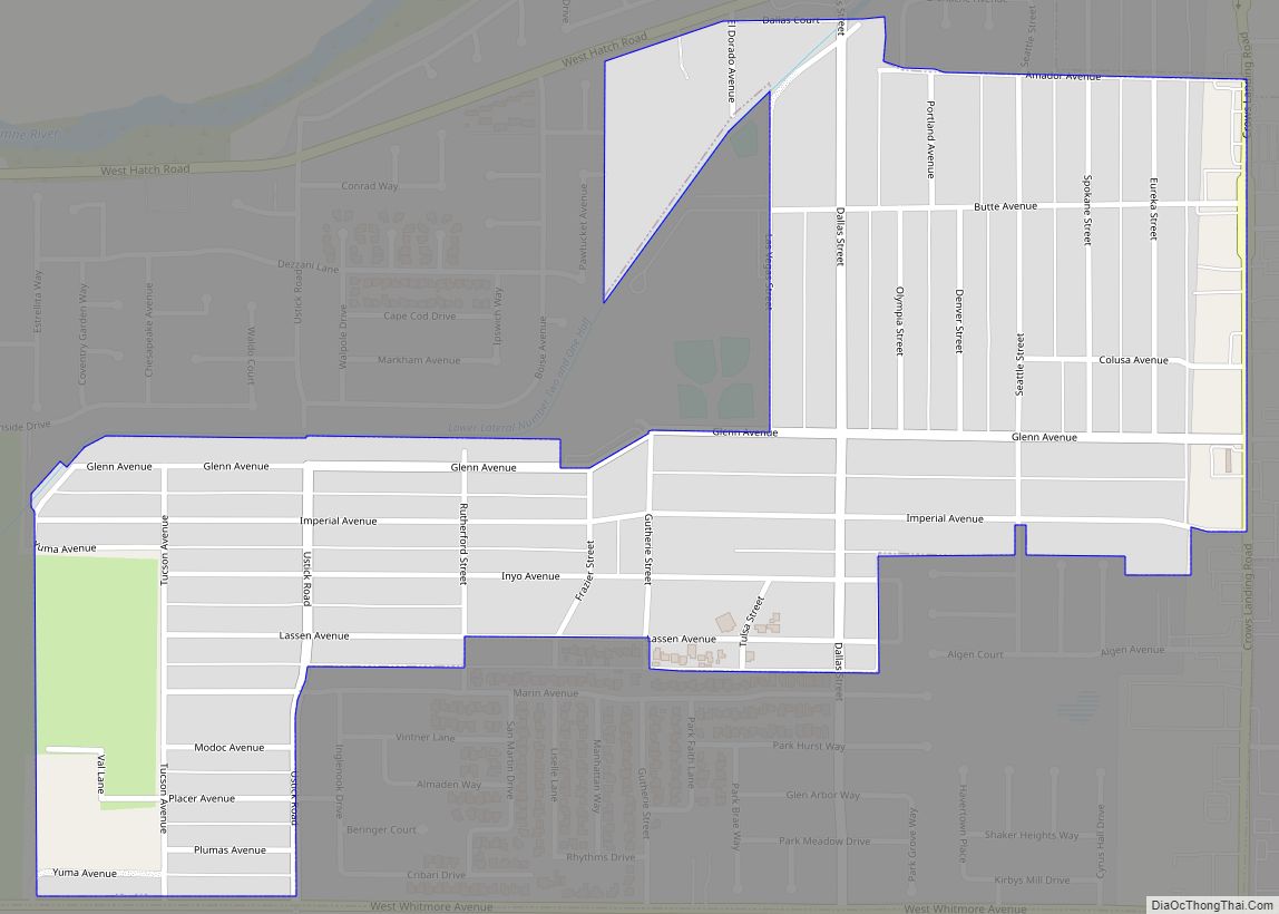
Newman Road Map
Newman city Satellite Map
Geography
Newman is located at 37°18′54″N 121°1′21″W / 37.31500°N 121.02250°W / 37.31500; -121.02250 (37.315038, −121.022476) According to the United States Census Bureau, the city has a total area of 2.1 square miles (5.4 km), all of it land. Newman currently has over 10,000 people. Newman is located on California State Route 33 between the towns of Gustine and Crows Landing. Interstate 5 is located a few miles to the west of the city.
Climate
Newman has a semi-arid climate (Köppen: BSh) with Mediterranean influences, characterized by hot, dry summers and cool winters.
See also
Map of California State and its subdivision:- Alameda
- Alpine
- Amador
- Butte
- Calaveras
- Colusa
- Contra Costa
- Del Norte
- El Dorado
- Fresno
- Glenn
- Humboldt
- Imperial
- Inyo
- Kern
- Kings
- Lake
- Lassen
- Los Angeles
- Madera
- Marin
- Mariposa
- Mendocino
- Merced
- Modoc
- Mono
- Monterey
- Napa
- Nevada
- Orange
- Placer
- Plumas
- Riverside
- Sacramento
- San Benito
- San Bernardino
- San Diego
- San Francisco
- San Joaquin
- San Luis Obispo
- San Mateo
- Santa Barbara
- Santa Clara
- Santa Cruz
- Shasta
- Sierra
- Siskiyou
- Solano
- Sonoma
- Stanislaus
- Sutter
- Tehama
- Trinity
- Tulare
- Tuolumne
- Ventura
- Yolo
- Yuba
- Alabama
- Alaska
- Arizona
- Arkansas
- California
- Colorado
- Connecticut
- Delaware
- District of Columbia
- Florida
- Georgia
- Hawaii
- Idaho
- Illinois
- Indiana
- Iowa
- Kansas
- Kentucky
- Louisiana
- Maine
- Maryland
- Massachusetts
- Michigan
- Minnesota
- Mississippi
- Missouri
- Montana
- Nebraska
- Nevada
- New Hampshire
- New Jersey
- New Mexico
- New York
- North Carolina
- North Dakota
- Ohio
- Oklahoma
- Oregon
- Pennsylvania
- Rhode Island
- South Carolina
- South Dakota
- Tennessee
- Texas
- Utah
- Vermont
- Virginia
- Washington
- West Virginia
- Wisconsin
- Wyoming
