Nipomo (/nəˈpoʊmoʊ/; Chumash: Nipumuʔ) is a unincorporated town in San Luis Obispo County, California, United States. The population was 16,714 for the 2010 census and grew to 18,176 for the 2020 census. For statistical purposes, the United States Census Bureau has defined Nipomo as a census-designated place (CDP).
| Name: | Nipomo CDP |
|---|---|
| LSAD Code: | 57 |
| LSAD Description: | CDP (suffix) |
| State: | California |
| County: | San Luis Obispo County |
| Elevation: | 331 ft (101 m) |
| Total Area: | 14.852 sq mi (38.467 km²) |
| Land Area: | 14.852 sq mi (38.466 km²) |
| Water Area: | 0 sq mi (0.001 km²) 0% |
| Total Population: | 18,716 |
| Population Density: | 1,300/sq mi (490/km²) |
| ZIP code: | 93444 |
| Area code: | 805 |
| FIPS code: | 0651476 |
| GNISfeature ID: | 1652759 |
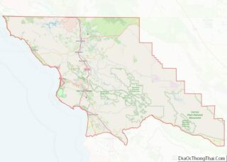
Online Interactive Map
Click on ![]() to view map in "full screen" mode.
to view map in "full screen" mode.
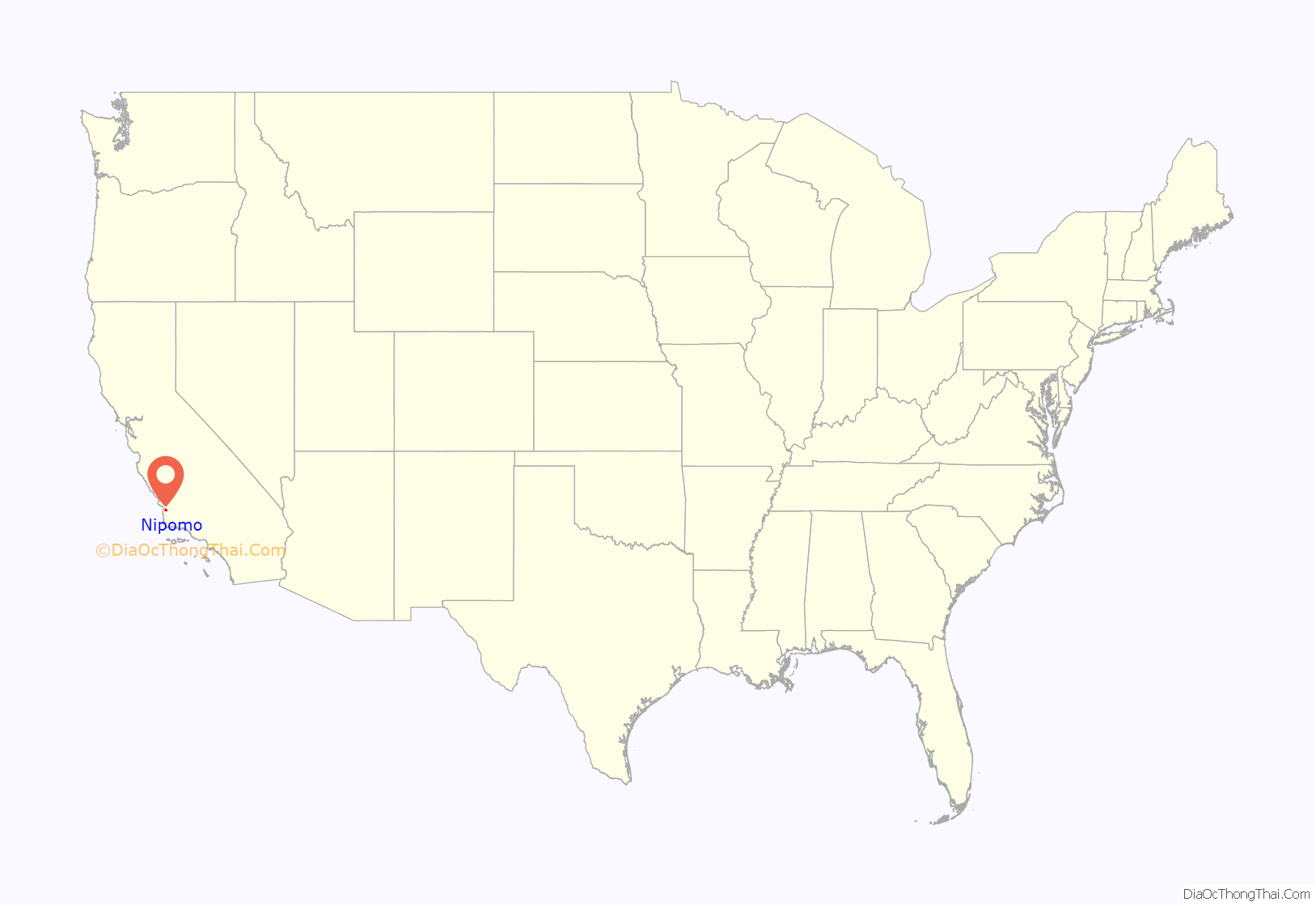
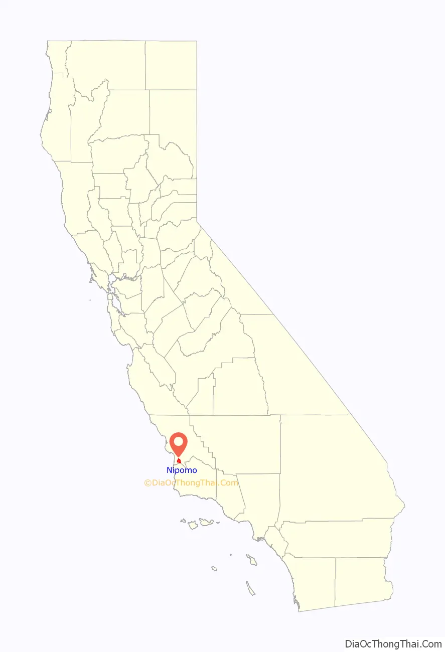
Nipomo location map. Where is Nipomo CDP?
History
The original settlers of Nipomo were the Chumash Indians, who have lived in the area for over 9,000 years. Rancho Nipomo (the Indian word ne-po-mah meant “foot of the hill”) was one of the first and largest of the Mexican land grants in San Luis Obispo County.
William G. Dana of Boston, a sea captain travels led him to California where he married Maria Josefa Carrillo of Santa Barbara. In 1837, the 38,000-acre (150 km) Rancho Nipomo was granted to Captain Dana by the Mexican governor. The Dana Adobe, created in 1839, served as an important stop for travelers on El Camino Real between Mission San Luis Obispo and Mission Santa Barbara. The adobe was a stage coach stop and became the exchange point for mail going between north and south in the first regular mail route in California. The Danas had several children, thirteen of whom reached adulthood. They learned both English and Spanish, as well as the language of the Chumash natives.
In 1846, U.S. Army Captain John C. Fremont and his soldiers stopped at the rancho on their way south to Santa Barbara and Los Angeles. Captain Dana hosted a barbecue and gave Fremont’s men 30 fresh horses. By the 1880s the Dana descendants had built homes on the rancho and formed a town. Streets were laid out and lots were sold to the general public. The Pacific Coast Railway (narrow gauge) came to town in 1882, and trains ran through Nipomo until The Great Depression in the 1930s. By the end of 1942, the tracks had been removed for the World War II war effort.
Thousands of Blue Gum Eucalyptus trees were planted on the Nipomo Mesa in 1908 by two men who formed the Los Berros Forest Company with the idea of selling the trees as hardwood. Groves of these non-native trees still exist in rows as they were originally planted.
Nipomo Mesa is the location of one of the most famous photographs of the Great Depression, “Migrant Mother”, by Dorothea Lange.
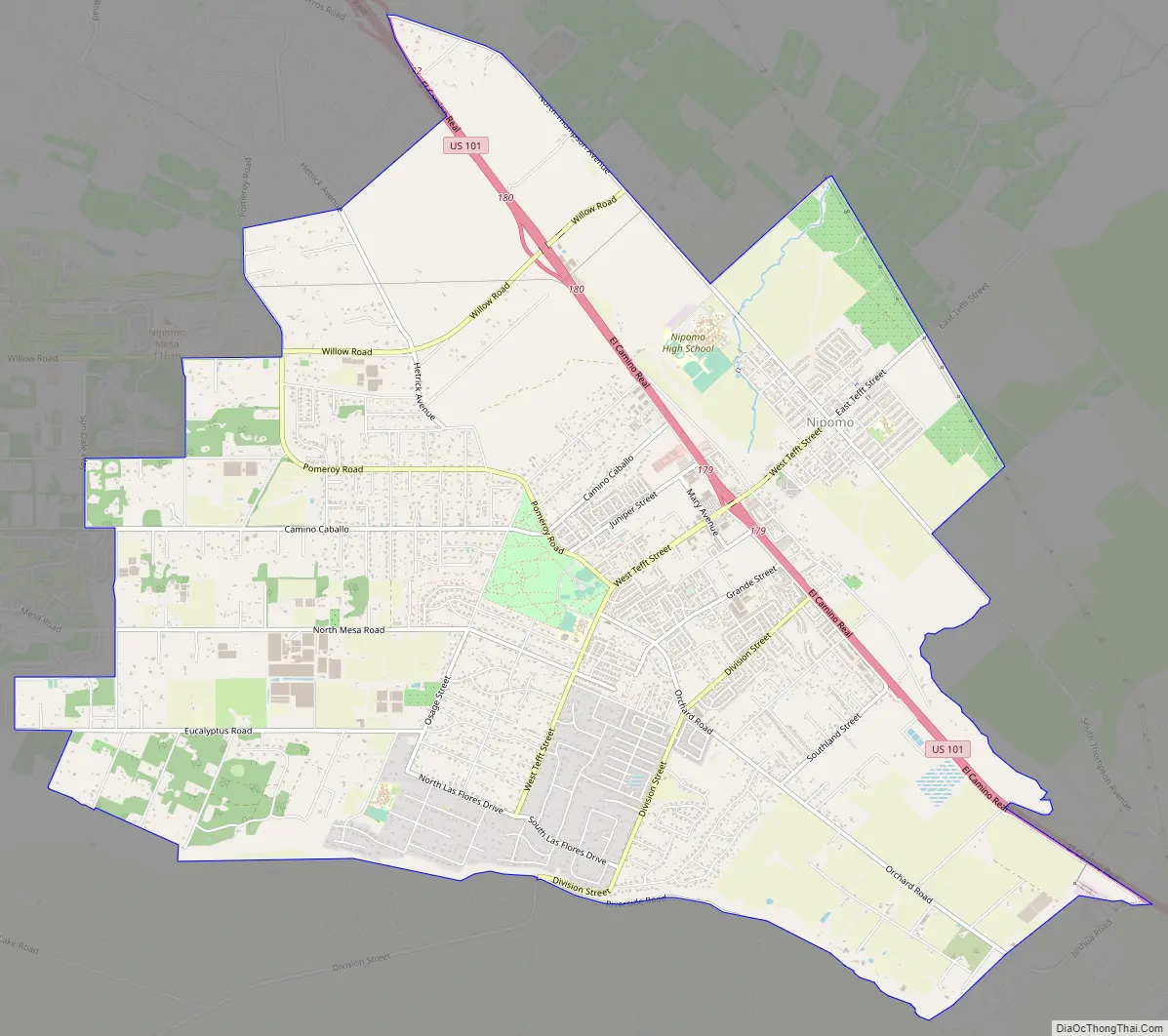
Nipomo Road Map
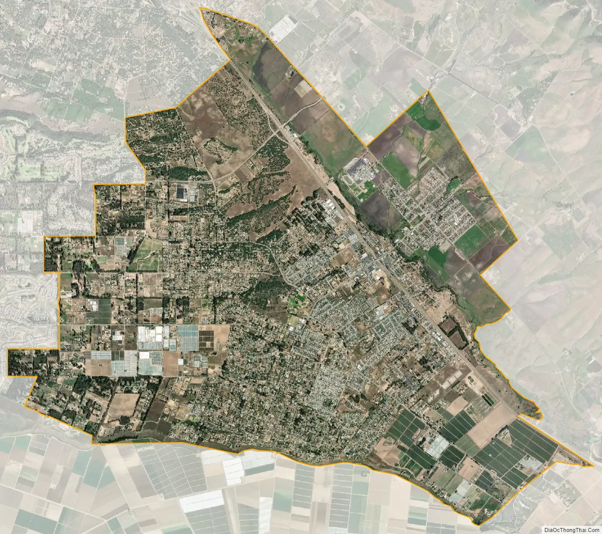
Nipomo city Satellite Map
Geography
According to the United States Census Bureau, the CDP has a total area of 14.9 square miles (39 km), virtually all of it land.
Climate
This region experiences warm and dry summers, with no average monthly temperatures above 71.6 °F. According to the Köppen Climate Classification system, Nipomo has a warm-summer Mediterranean climate, abbreviated “Csb” on climate maps.
See also
Map of California State and its subdivision:- Alameda
- Alpine
- Amador
- Butte
- Calaveras
- Colusa
- Contra Costa
- Del Norte
- El Dorado
- Fresno
- Glenn
- Humboldt
- Imperial
- Inyo
- Kern
- Kings
- Lake
- Lassen
- Los Angeles
- Madera
- Marin
- Mariposa
- Mendocino
- Merced
- Modoc
- Mono
- Monterey
- Napa
- Nevada
- Orange
- Placer
- Plumas
- Riverside
- Sacramento
- San Benito
- San Bernardino
- San Diego
- San Francisco
- San Joaquin
- San Luis Obispo
- San Mateo
- Santa Barbara
- Santa Clara
- Santa Cruz
- Shasta
- Sierra
- Siskiyou
- Solano
- Sonoma
- Stanislaus
- Sutter
- Tehama
- Trinity
- Tulare
- Tuolumne
- Ventura
- Yolo
- Yuba
- Alabama
- Alaska
- Arizona
- Arkansas
- California
- Colorado
- Connecticut
- Delaware
- District of Columbia
- Florida
- Georgia
- Hawaii
- Idaho
- Illinois
- Indiana
- Iowa
- Kansas
- Kentucky
- Louisiana
- Maine
- Maryland
- Massachusetts
- Michigan
- Minnesota
- Mississippi
- Missouri
- Montana
- Nebraska
- Nevada
- New Hampshire
- New Jersey
- New Mexico
- New York
- North Carolina
- North Dakota
- Ohio
- Oklahoma
- Oregon
- Pennsylvania
- Rhode Island
- South Carolina
- South Dakota
- Tennessee
- Texas
- Utah
- Vermont
- Virginia
- Washington
- West Virginia
- Wisconsin
- Wyoming