Oakdale is a city in the San Joaquin Valley and Stanislaus County, California. It is part of the Modesto Metropolitan Statistical Area.
Oakdale goes by the slogan “Cowboy Capital of the World.” The population was 23,181 at the 2020 census, up from 20,675 at the 2010 census and 15,503 at the 2000 census.
| Name: | Oakdale city |
|---|---|
| LSAD Code: | 25 |
| LSAD Description: | city (suffix) |
| State: | California |
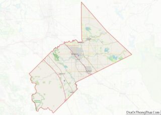
| County: | Stanislaus County |
| Incorporated: | November 24, 1906 |
| Elevation: | 157 ft (48 m) |
| Total Area: | 6.26 sq mi (16.22 km²) |
| Land Area: | 6.22 sq mi (16.12 km²) |
| Water Area: | 0.04 sq mi (0.10 km²) 0.81% |
| Total Population: | 20,675 |
| Population Density: | 3,790.52/sq mi (1,463.65/km²) |
| ZIP code: | 95361 |
| Area code: | 209 |
| FIPS code: | 0652694 |
| GNISfeature ID: | 0277564 |
| Website: | www.oakdalegov.com |
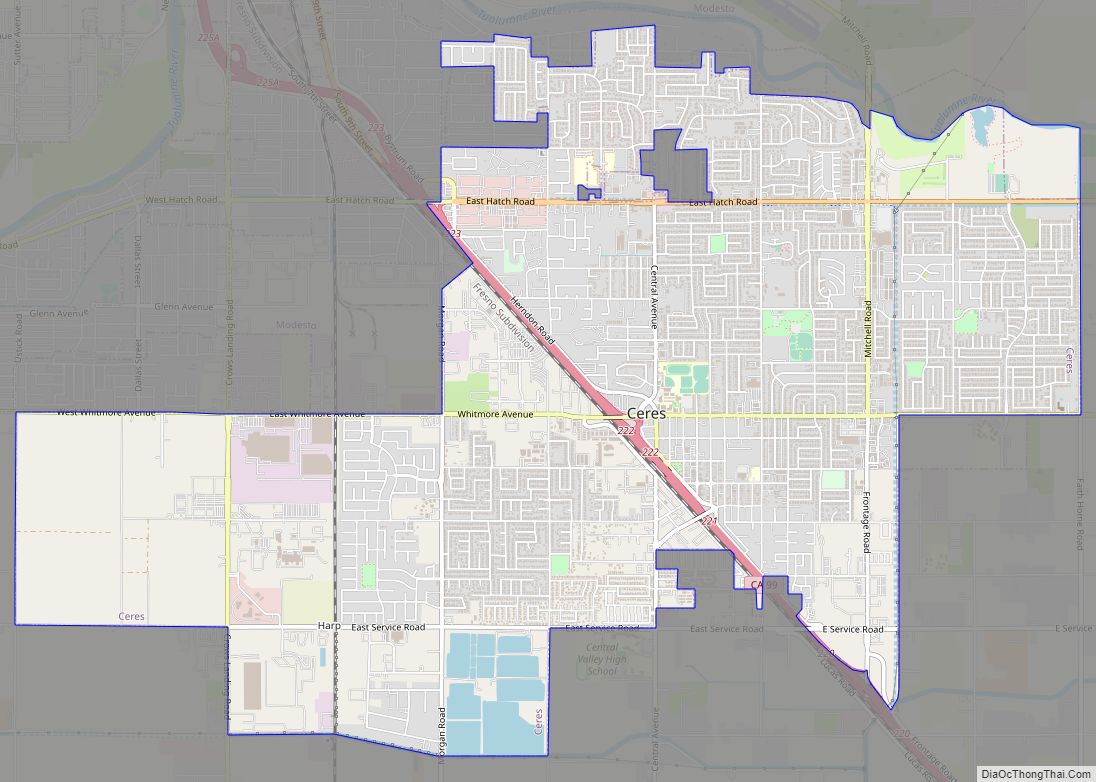
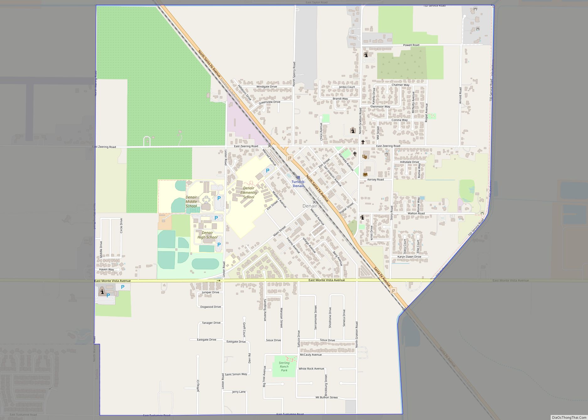
Online Interactive Map
Click on ![]() to view map in "full screen" mode.
to view map in "full screen" mode.
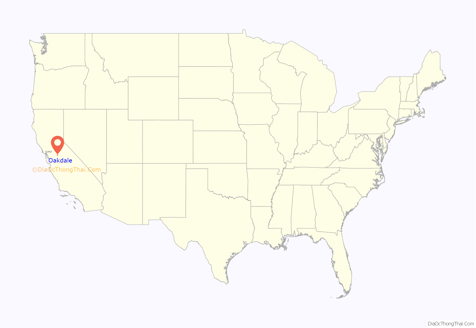
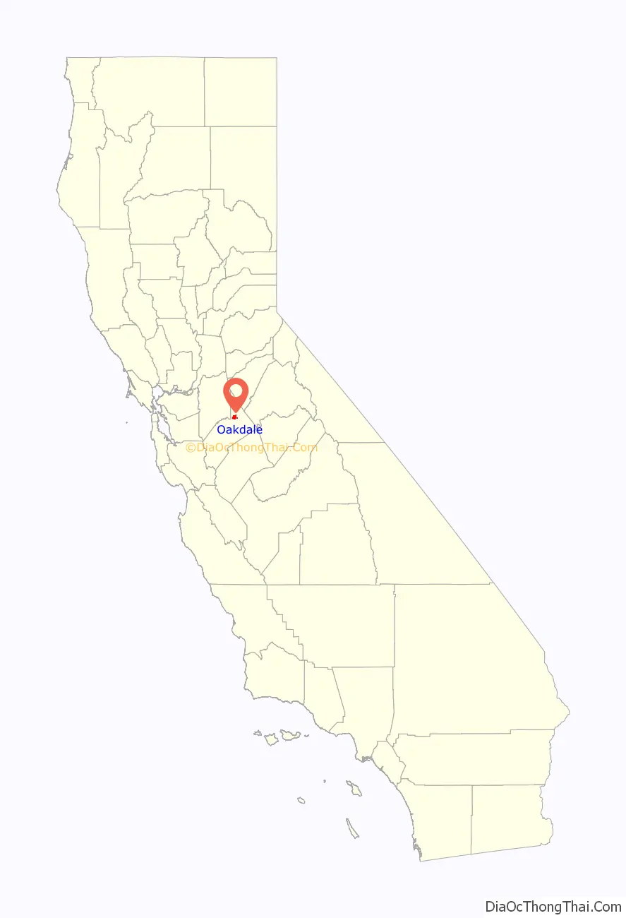
Oakdale location map. Where is Oakdale city?
History
The city was founded in 1871 when the Stockton and Visalia Railroad met the Copperopolis Railroad. The site of Taylor’s Ferry Crossing is located in Oakdale, a crossing of the Stanislaus River on the 19th century Stockton – Los Angeles Road.
Oakdale was used as a film location for the United Artists film Bound For Glory starring David Carradine. Oakdale doubled as a dusty ‘Texas’ town using railroad scenes for the film. Oakdale was nominated for an award for having the most almond trees per capita per square mile in the state of California.
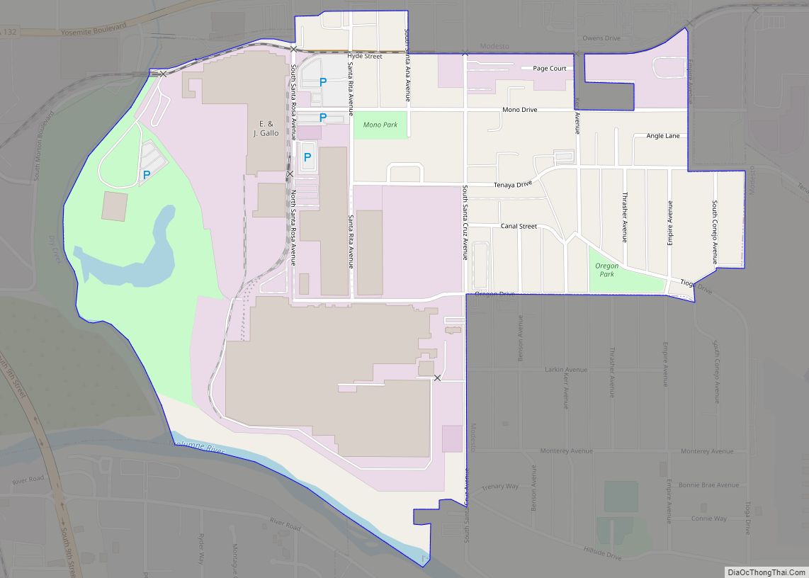
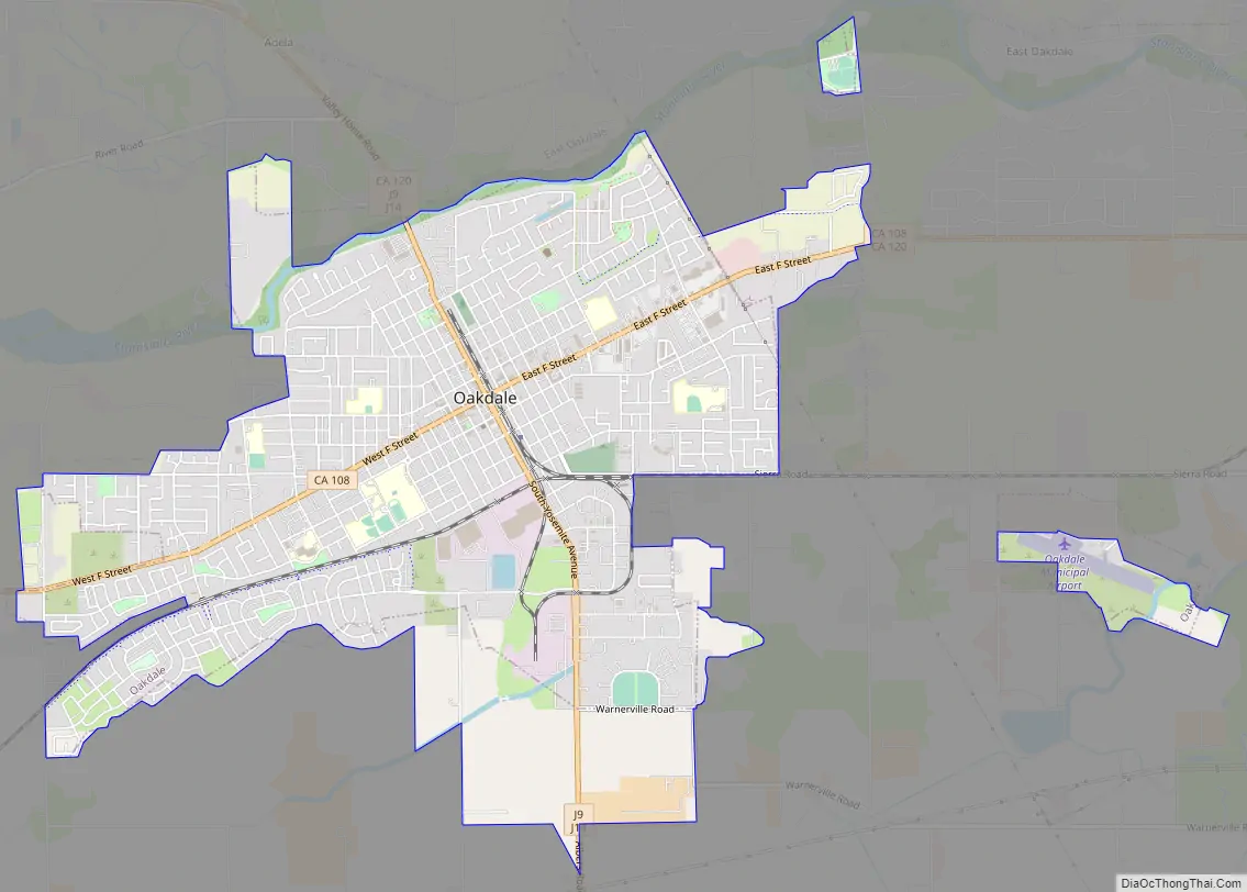
Oakdale Road Map
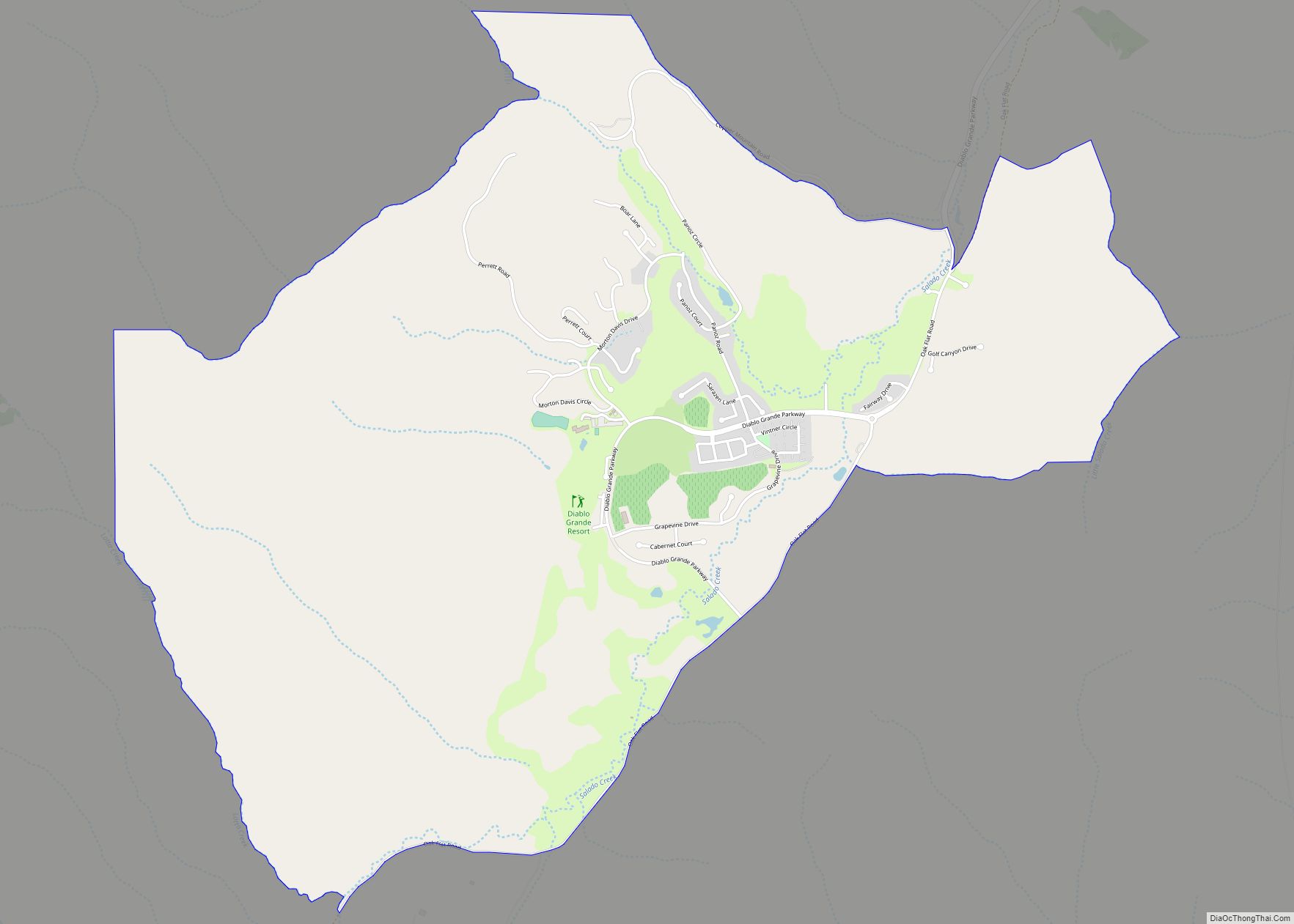
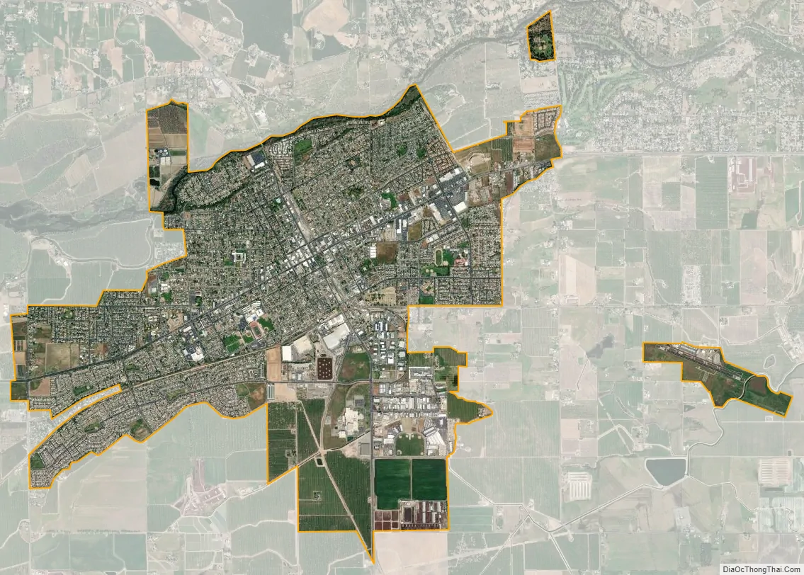
Oakdale city Satellite Map
Geography
The city is located on the Stanislaus River in the east-central portion of the San Joaquin Valley, adjacent to the foothills of the Sierra Nevada. California State Routes 108 and 120 (Tioga Pass Road) intersect in the city.
According to the United States Census Bureau, the city has a total area of 6.1 square miles (16 km), of which 6.0 square miles (16 km) is land and 0.05 square miles (0.13 km) (0.81%) is water.
The National Weather Service has maintained a cooperative weather station at Woodward Dam for many years. In January, average temperatures are a maximum of 52.4 °F (11.3 °C) and a minimum of 35.1 °F (1.7 °C). In July, average temperatures are a maximum of 102.8 °F (39.3 °C) and a minimum of 58.4 °F (14.7 °C). The record high temperature was 114 °F (46 °C) on July 18, 1925. The record low temperature was 12 °F (−11 °C) on December 11, 1932. Annually, there are an average of 84.6 days with highs of 90 °F (32 °C) or higher and an average of 30.8 days with lows of 32 °F (0 °C) or lower.
Average annual rainfall is 13.33 inches (339 mm). There are an average of 44 days annually with measurable precipitation. The wettest year was 1958 with 22.15 inches (563 mm) and the driest year was 1947 with 7.99 inches (203 mm). The most rainfall in one month was 8.63 inches (219 mm) in January 1911. The most rainfall in 24 hours was 5.7 inches (140 mm) on April 3, 1958. The record snowfall was 1.5 inches (3.8 cm) in January 1930.
See also
Map of California State and its subdivision:- Alameda
- Alpine
- Amador
- Butte
- Calaveras
- Colusa
- Contra Costa
- Del Norte
- El Dorado
- Fresno
- Glenn
- Humboldt
- Imperial
- Inyo
- Kern
- Kings
- Lake
- Lassen
- Los Angeles
- Madera
- Marin
- Mariposa
- Mendocino
- Merced
- Modoc
- Mono
- Monterey
- Napa
- Nevada
- Orange
- Placer
- Plumas
- Riverside
- Sacramento
- San Benito
- San Bernardino
- San Diego
- San Francisco
- San Joaquin
- San Luis Obispo
- San Mateo
- Santa Barbara
- Santa Clara
- Santa Cruz
- Shasta
- Sierra
- Siskiyou
- Solano
- Sonoma
- Stanislaus
- Sutter
- Tehama
- Trinity
- Tulare
- Tuolumne
- Ventura
- Yolo
- Yuba
- Alabama
- Alaska
- Arizona
- Arkansas
- California
- Colorado
- Connecticut
- Delaware
- District of Columbia
- Florida
- Georgia
- Hawaii
- Idaho
- Illinois
- Indiana
- Iowa
- Kansas
- Kentucky
- Louisiana
- Maine
- Maryland
- Massachusetts
- Michigan
- Minnesota
- Mississippi
- Missouri
- Montana
- Nebraska
- Nevada
- New Hampshire
- New Jersey
- New Mexico
- New York
- North Carolina
- North Dakota
- Ohio
- Oklahoma
- Oregon
- Pennsylvania
- Rhode Island
- South Carolina
- South Dakota
- Tennessee
- Texas
- Utah
- Vermont
- Virginia
- Washington
- West Virginia
- Wisconsin
- Wyoming