Orangevale is a census-designated place (CDP) in Sacramento County, California, United States. It is part of the Sacramento–Arden-Arcade–Roseville Metropolitan Statistical Area. The population was 33,960 at the 2010 census, up from 26,705 at the 2000 census. It is located approximately 25 miles (40 km) northeast of Sacramento. The community is known for its rolling hills that offer the best views of the Sierra Nevada mountain range, its foothills, and a rural environment in the middle of a growing metropolitan area. Some residential properties in the area are zoned to accommodate horses and orchards. It has a ZIP Code of 95662.
| Name: | Orangevale CDP |
|---|---|
| LSAD Code: | 57 |
| LSAD Description: | CDP (suffix) |
| State: | California |
| County: | Sacramento County |
| Elevation: | 240 ft (73 m) |
| Total Area: | 11.646 sq mi (30.16 km²) |
| Land Area: | 11.515 sq mi (29.82 km²) |
| Water Area: | 0.131 sq mi (0.34 km²) 1.13% |
| Total Population: | 35,569 |
| ZIP code: | 95662 |
| Area code: | 916, 279 |
| FIPS code: | 0654092 |
| GNISfeature ID: | 1656200 |
Online Interactive Map
Click on ![]() to view map in "full screen" mode.
to view map in "full screen" mode.
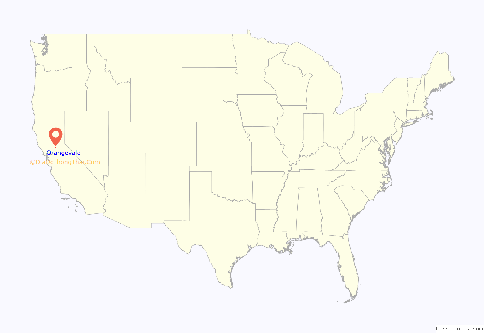
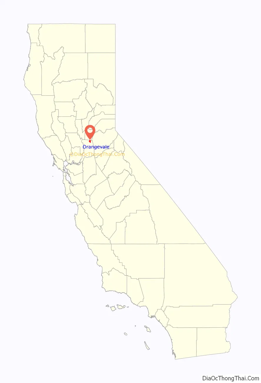
Orangevale location map. Where is Orangevale CDP?
History
Originally Orange Vale Colony, the community began as part of the 1844 Rancho San Juan Mexican land grant. The area was rural and home to numerous orange groves. Oak trees (remnants of which can be seen in the Orangevale Park) were common, as were trails made by Maidu Native Americans many years before. In addition to orange groves, several olive orchards were also once in the area, and some original trees can still be found along Chestnut, Orangevale, Main, and Walnut Avenues.
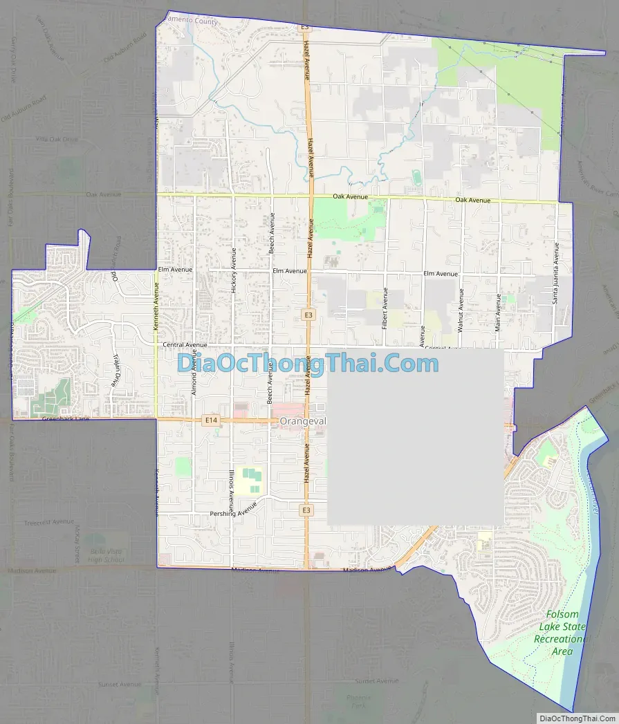
Orangevale Road Map
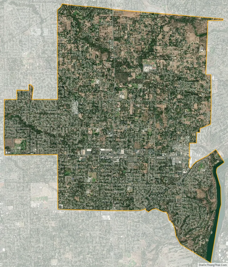
Orangevale city Satellite Map
Geography
Orangevale is located at 38°40′55″N 121°12′50″W / 38.68194°N 121.21389°W / 38.68194; -121.21389 (38.681903, -121.213824).
According to the United States Census Bureau, the CDP has a total area of 11.6 square miles (30 km), of which, 11.5 square miles (30 km) of it is land and 0.1 square miles (0.26 km) of it (1.13%) is water.
Orangevale is primarily rolling hills near the base of the Sierra Nevada Foothills.
See also
Map of California State and its subdivision:- Alameda
- Alpine
- Amador
- Butte
- Calaveras
- Colusa
- Contra Costa
- Del Norte
- El Dorado
- Fresno
- Glenn
- Humboldt
- Imperial
- Inyo
- Kern
- Kings
- Lake
- Lassen
- Los Angeles
- Madera
- Marin
- Mariposa
- Mendocino
- Merced
- Modoc
- Mono
- Monterey
- Napa
- Nevada
- Orange
- Placer
- Plumas
- Riverside
- Sacramento
- San Benito
- San Bernardino
- San Diego
- San Francisco
- San Joaquin
- San Luis Obispo
- San Mateo
- Santa Barbara
- Santa Clara
- Santa Cruz
- Shasta
- Sierra
- Siskiyou
- Solano
- Sonoma
- Stanislaus
- Sutter
- Tehama
- Trinity
- Tulare
- Tuolumne
- Ventura
- Yolo
- Yuba
- Alabama
- Alaska
- Arizona
- Arkansas
- California
- Colorado
- Connecticut
- Delaware
- District of Columbia
- Florida
- Georgia
- Hawaii
- Idaho
- Illinois
- Indiana
- Iowa
- Kansas
- Kentucky
- Louisiana
- Maine
- Maryland
- Massachusetts
- Michigan
- Minnesota
- Mississippi
- Missouri
- Montana
- Nebraska
- Nevada
- New Hampshire
- New Jersey
- New Mexico
- New York
- North Carolina
- North Dakota
- Ohio
- Oklahoma
- Oregon
- Pennsylvania
- Rhode Island
- South Carolina
- South Dakota
- Tennessee
- Texas
- Utah
- Vermont
- Virginia
- Washington
- West Virginia
- Wisconsin
- Wyoming


