Pico Rivera is a city located in southeastern Los Angeles County, California. The city is situated approximately 11 miles (18 km) southeast of downtown Los Angeles, on the eastern edge of the Los Angeles basin, and on the southern edge of the area known as the San Gabriel Valley. As of the 2020 United States census, the city has a population of 62,088. Pico Rivera is bordered by Montebello to the west, Downey to the south, Santa Fe Springs to the southeast, and Whittier to the east. Northrop Grumman’s Advanced Systems Division developed the B-2 Spirit bomber here.
| Name: | Pico Rivera city |
|---|---|
| LSAD Code: | 25 |
| LSAD Description: | city (suffix) |
| State: | California |
| County: | Los Angeles County |
| Incorporated: | January 29, 1958 |
| Elevation: | 164 ft (50 m) |
| Total Area: | 8.88 sq mi (23.00 km²) |
| Land Area: | 8.29 sq mi (21.48 km²) |
| Water Area: | 0.59 sq mi (1.52 km²) 6.60% |
| Total Population: | 62,088 |
| Population Density: | 7,587.5/sq mi (2,887.18/km²) |
| Area code: | 562 |
| FIPS code: | 0656924 |
| GNISfeature ID: | 1652773 |
| Website: | www.pico-rivera.org |
Online Interactive Map
Click on ![]() to view map in "full screen" mode.
to view map in "full screen" mode.
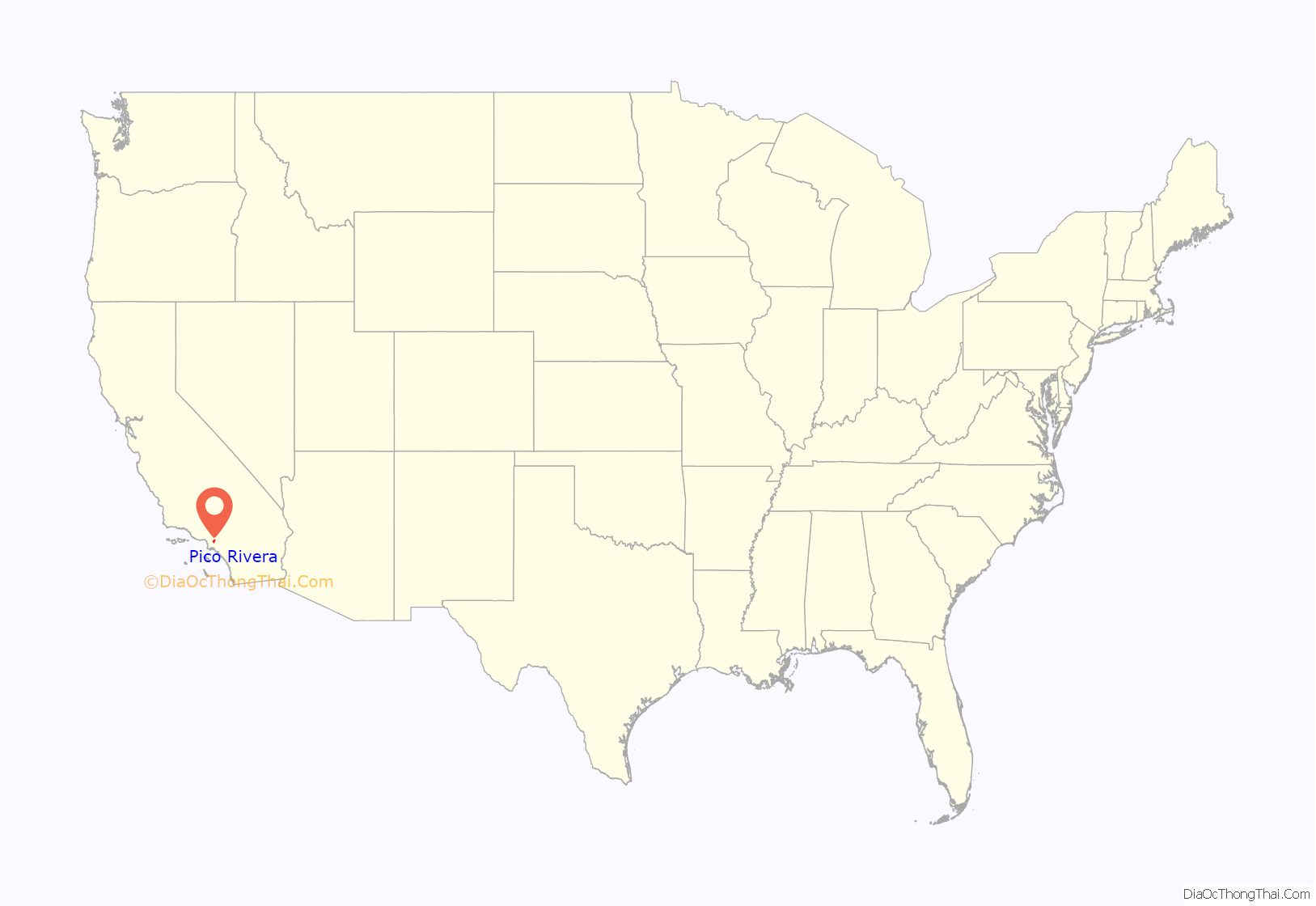
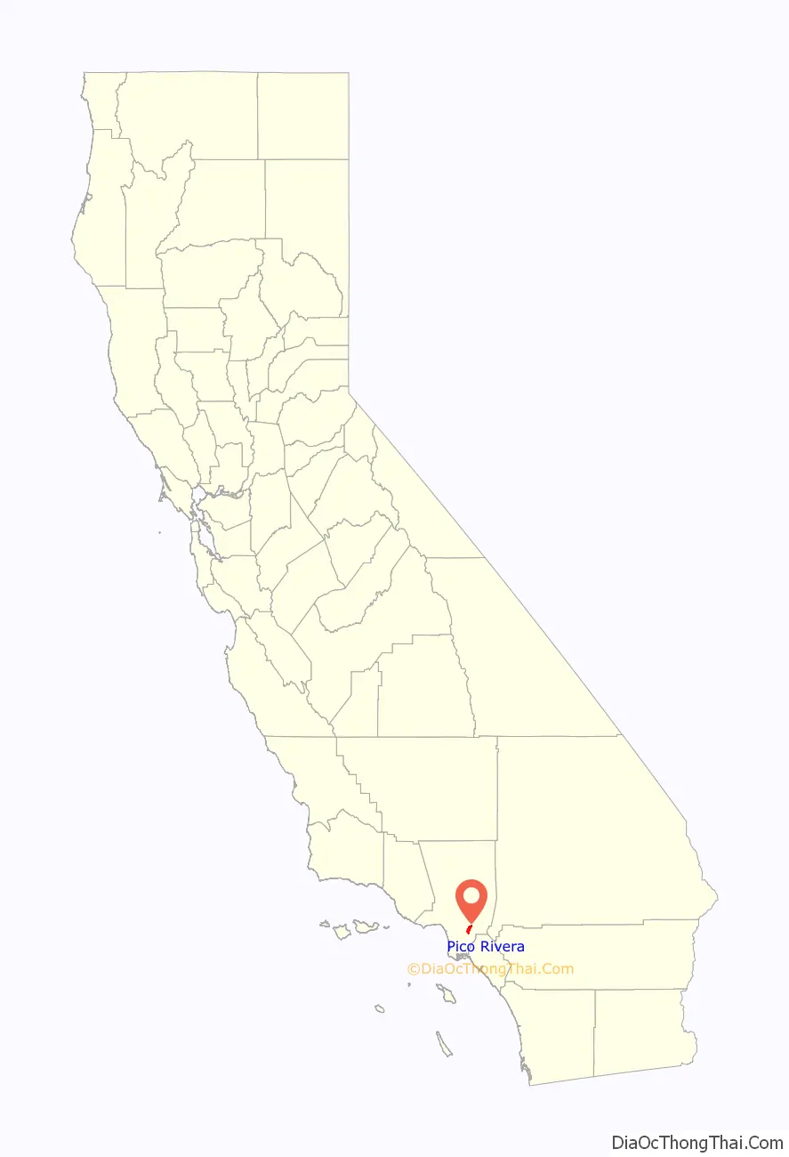
Pico Rivera location map. Where is Pico Rivera city?
History
Pico Rivera was founded in 1958, from the merger of the long-standing unincorporated communities of Pico (named for Pío Pico, the last Mexican governor of California) and Rivera (the Spanish word for “riverbank”). Situated on a rich alluvial plain between the Rio Hondo and the San Gabriel River, the area was once predominantly agricultural; but, at the end of WWII, the fast rising demand for homes lured builders to the attractive terrain. Since the 1950s, it has been both residential as well as industrial. It had a Ford Motor Company plant for many years: Los Angeles Assembly. Pico Rivera lies below the Whittier Narrows, making it one of the “Gateway Cities”.
In January 1958, 56 percent of the electorate voted for incorporation. They approved a Council-Manager form of government, and the name “Pico Rivera” was established for the new city. Five citizens were chosen from a slate of 24 candidates to serve as members of the first City Council; Pico Rivera officially became the 61st city in Los Angeles County.
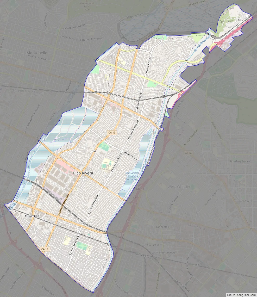
Pico Rivera Road Map
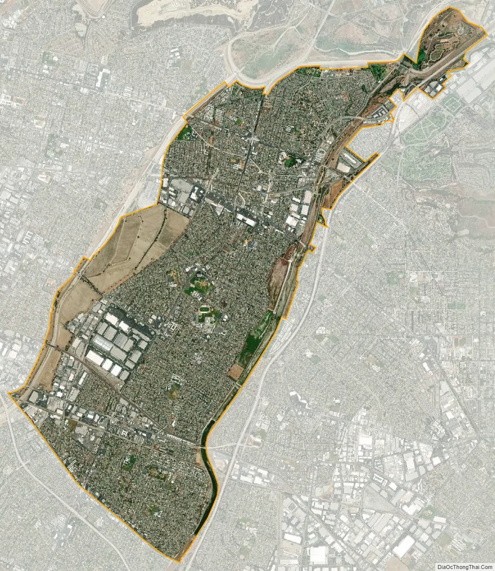
Pico Rivera city Satellite Map
Geography
Pico Rivera is bordered by Downey on the southwest, Santa Fe Springs on the southeast, Whittier on the east, City of Industry on the northeast, Montebello on the northwest, and Commerce on the west. Rosemead/Lakewood Boulevard, CA 19 runs through the center of the city, and the San Gabriel River Freeway (I-605) runs along its southeastern edge.
According to the U.S. Census Bureau, the city has a total area of 23.003 square kilometers (8.882 sq mi). 21.485 square kilometers (8.295 sq mi) of it is land and 1.518 kilometers (0.943 mi) of it (6.60%) is water.
Pico Rivera was the epicenter of a magnitude 4.4 earthquake on March 16, 2010, which occurred at 4:04 a.m. Pacific Daylight Time (11:04 a.m. Greenwich Mean Time).
See also
Map of California State and its subdivision:- Alameda
- Alpine
- Amador
- Butte
- Calaveras
- Colusa
- Contra Costa
- Del Norte
- El Dorado
- Fresno
- Glenn
- Humboldt
- Imperial
- Inyo
- Kern
- Kings
- Lake
- Lassen
- Los Angeles
- Madera
- Marin
- Mariposa
- Mendocino
- Merced
- Modoc
- Mono
- Monterey
- Napa
- Nevada
- Orange
- Placer
- Plumas
- Riverside
- Sacramento
- San Benito
- San Bernardino
- San Diego
- San Francisco
- San Joaquin
- San Luis Obispo
- San Mateo
- Santa Barbara
- Santa Clara
- Santa Cruz
- Shasta
- Sierra
- Siskiyou
- Solano
- Sonoma
- Stanislaus
- Sutter
- Tehama
- Trinity
- Tulare
- Tuolumne
- Ventura
- Yolo
- Yuba
- Alabama
- Alaska
- Arizona
- Arkansas
- California
- Colorado
- Connecticut
- Delaware
- District of Columbia
- Florida
- Georgia
- Hawaii
- Idaho
- Illinois
- Indiana
- Iowa
- Kansas
- Kentucky
- Louisiana
- Maine
- Maryland
- Massachusetts
- Michigan
- Minnesota
- Mississippi
- Missouri
- Montana
- Nebraska
- Nevada
- New Hampshire
- New Jersey
- New Mexico
- New York
- North Carolina
- North Dakota
- Ohio
- Oklahoma
- Oregon
- Pennsylvania
- Rhode Island
- South Carolina
- South Dakota
- Tennessee
- Texas
- Utah
- Vermont
- Virginia
- Washington
- West Virginia
- Wisconsin
- Wyoming


