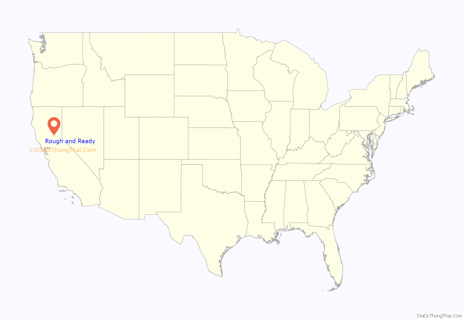
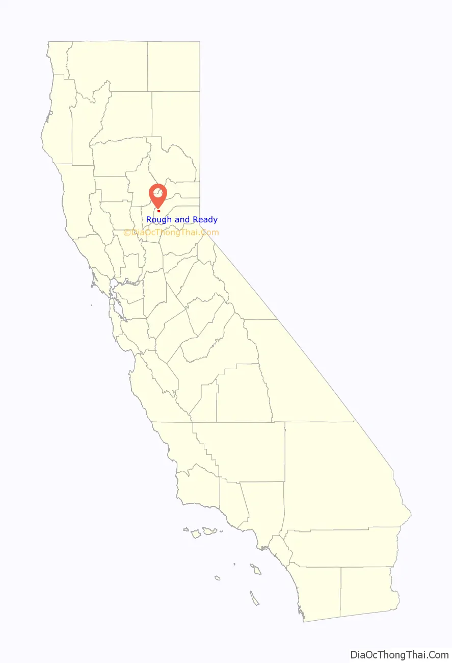
Rough and Ready is a census-designated place in Nevada County, California, United States. It is located west of Grass Valley, California, approximately 62 miles (100 km) from Sacramento. The population was 963 at the 2010 census. It has frequently been noted on lists of unusual place names.
| Name: | Rough and Ready CDP |
|---|---|
| LSAD Code: | 57 |
| LSAD Description: | CDP (suffix) |
| State: | California |
| County: | Nevada County |
| Total Area: | 3.170 sq mi (8.210 km²) |
| Land Area: | 3.170 sq mi (8.210 km²) |
| Water Area: | 0 sq mi (0 km²) 0% |
| Total Population: | 963 |
| Population Density: | 300/sq mi (120/km²) |
| ZIP code: | 95975 |
| Area code: | 530 |
| FIPS code: | 0663106 |
| GNISfeature ID: | 2628785 |
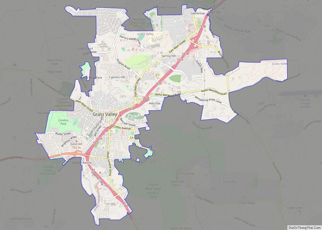
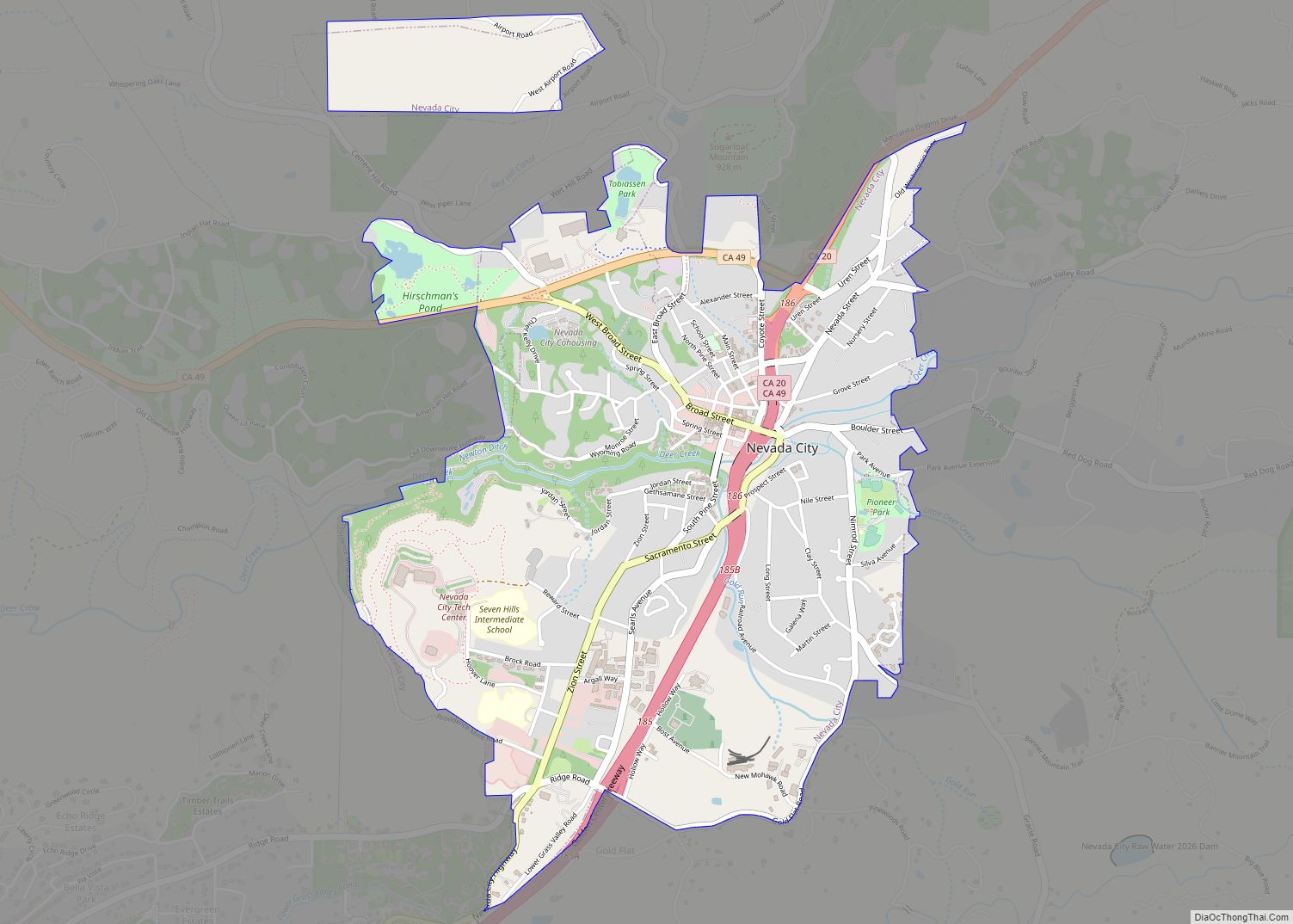
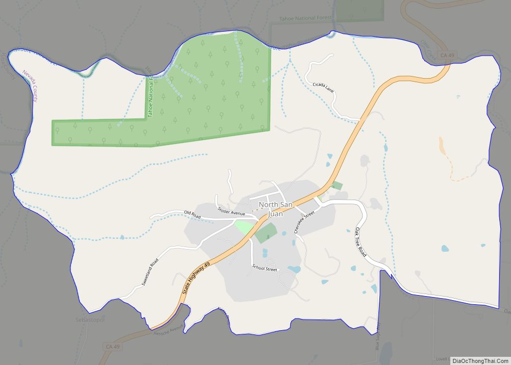
Online Interactive Map
Click on ![]() to view map in "full screen" mode.
to view map in "full screen" mode.
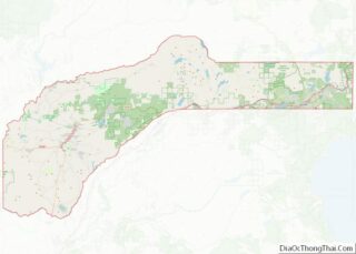
Rough and Ready location map. Where is Rough and Ready CDP?
History
The first established settlement in Rough and Ready was made in the fall of 1849 by a mining company from Wisconsin, known as the Rough and Ready Company, during the California Gold Rush. Their leader, Captain A. A. Townsend, named the company after General Zachary Taylor (nicknamed “Old Rough and Ready”) who had recently been elected the 12th President of the United States. Captain Townsend had served under Taylor when he commanded the American Forces during the Black Hawk War (1832). California had three towns so named of which this one survives.
The town declared its secession from the Union as The Great Republic of Rough and Ready on 7 April 1850, largely to avoid mining taxes, but voted to rejoin the Union less than three months later on 4 July. The old republic is celebrated annually as a way to attract tourism and as a point of local pride.
The post office at Rough and Ready was established by February 1851; the first postmaster was Marcus Nutting. The ZIP Code is 95975. The community is inside area code 530.
The post office was closed for a time in 1855, again for a time in 1913, and again from 1942 to 1948.
In 1988, the 49er Fire was accidentally started by a homeless and schizophrenic local man near Highway 49. The fire went on to burn well over a hundred homes and more than 33,000 acres in Nevada County, including structures in and around Rough and Ready.
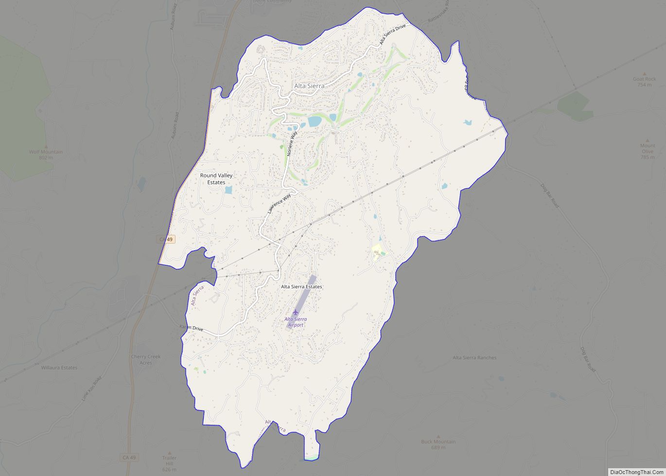
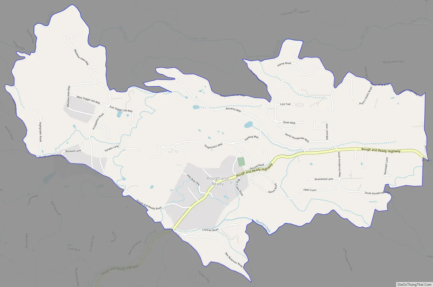
Rough and Ready Road Map
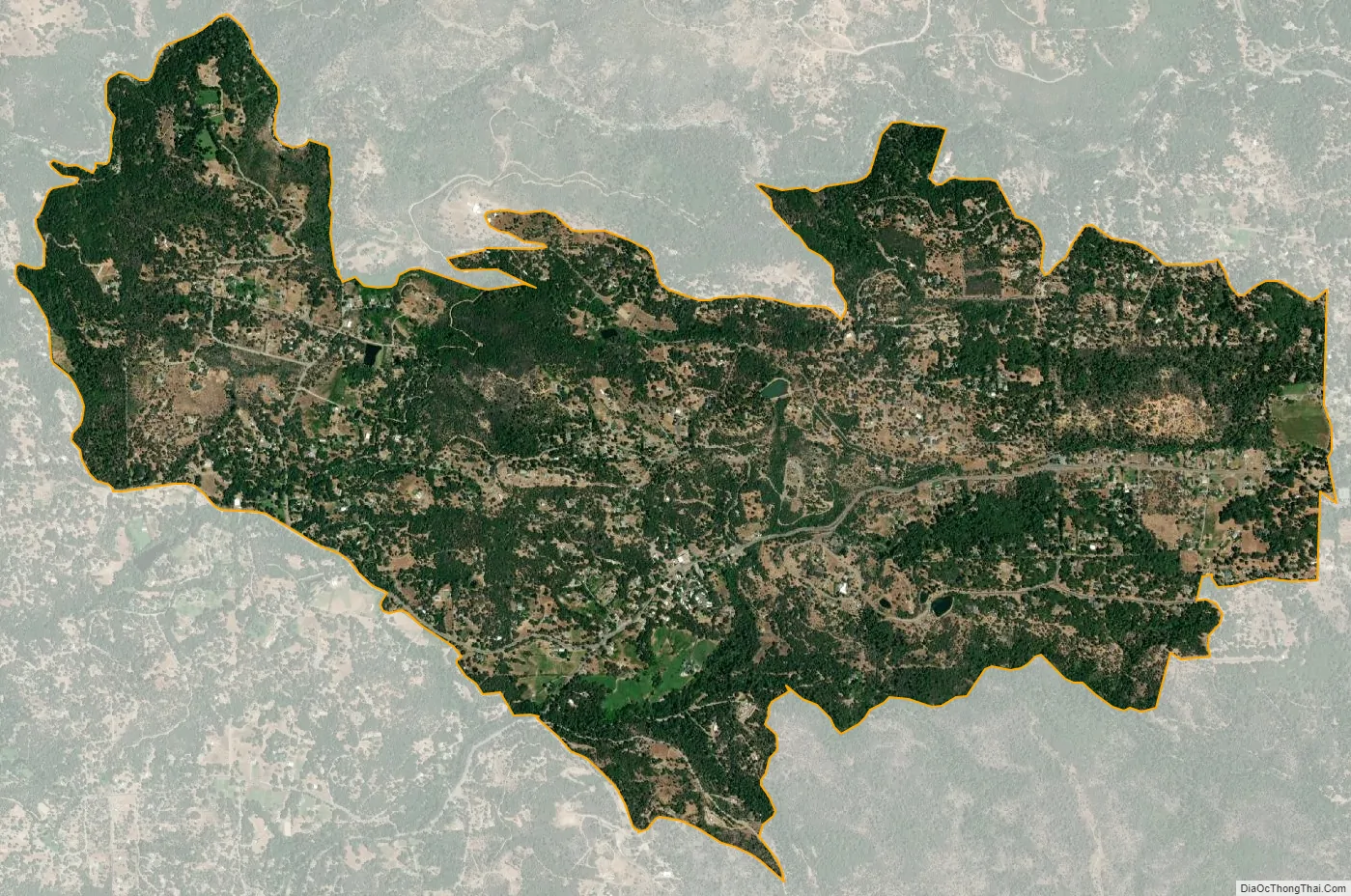
Rough and Ready city Satellite Map
Geography
According to the United States Census Bureau, the Census Designated Place covers an area of 3.2 square miles (8.3 km), all of it land.
See also
Map of California State and its subdivision:- Alameda
- Alpine
- Amador
- Butte
- Calaveras
- Colusa
- Contra Costa
- Del Norte
- El Dorado
- Fresno
- Glenn
- Humboldt
- Imperial
- Inyo
- Kern
- Kings
- Lake
- Lassen
- Los Angeles
- Madera
- Marin
- Mariposa
- Mendocino
- Merced
- Modoc
- Mono
- Monterey
- Napa
- Nevada
- Orange
- Placer
- Plumas
- Riverside
- Sacramento
- San Benito
- San Bernardino
- San Diego
- San Francisco
- San Joaquin
- San Luis Obispo
- San Mateo
- Santa Barbara
- Santa Clara
- Santa Cruz
- Shasta
- Sierra
- Siskiyou
- Solano
- Sonoma
- Stanislaus
- Sutter
- Tehama
- Trinity
- Tulare
- Tuolumne
- Ventura
- Yolo
- Yuba
- Alabama
- Alaska
- Arizona
- Arkansas
- California
- Colorado
- Connecticut
- Delaware
- District of Columbia
- Florida
- Georgia
- Hawaii
- Idaho
- Illinois
- Indiana
- Iowa
- Kansas
- Kentucky
- Louisiana
- Maine
- Maryland
- Massachusetts
- Michigan
- Minnesota
- Mississippi
- Missouri
- Montana
- Nebraska
- Nevada
- New Hampshire
- New Jersey
- New Mexico
- New York
- North Carolina
- North Dakota
- Ohio
- Oklahoma
- Oregon
- Pennsylvania
- Rhode Island
- South Carolina
- South Dakota
- Tennessee
- Texas
- Utah
- Vermont
- Virginia
- Washington
- West Virginia
- Wisconsin
- Wyoming