Salida (Spanish for “Exit”) is a census-designated place (CDP) in Stanislaus County, California, in the United States. As of the 2010 census, the CDP population was 13,722. It is part of the Modesto Metropolitan Statistical Area. Cultivation of almonds has historically been a significant activity in the vicinity, including a major Blue Diamond processing facility nearby. The plant is involved exclusively in processing whole brown almond kernels with a “dry” process involving no water, heat or chemicals. Salida is within the East Stanislaus Resource Conservation District which comprises 984 square miles (2,550 km) of land area and attends to a variety of environmental conservation and best management agricultural practices.
| Name: | Salida CDP |
|---|---|
| LSAD Code: | 57 |
| LSAD Description: | CDP (suffix) |
| State: | California |
| County: | Stanislaus County |
| Elevation: | 69 ft (21 m) |
| Total Area: | 5.571 sq mi (14.430 km²) |
| Land Area: | 5.320 sq mi (13.780 km²) |
| Water Area: | 0.251 sq mi (0.650 km²) 4.50% |
| Total Population: | 13,886 |
| Population Density: | 2,500/sq mi (960/km²) |
| ZIP code: | 95368 |
| Area code: | 209 |
| FIPS code: | 0664210 |
| GNISfeature ID: | 1659792 |
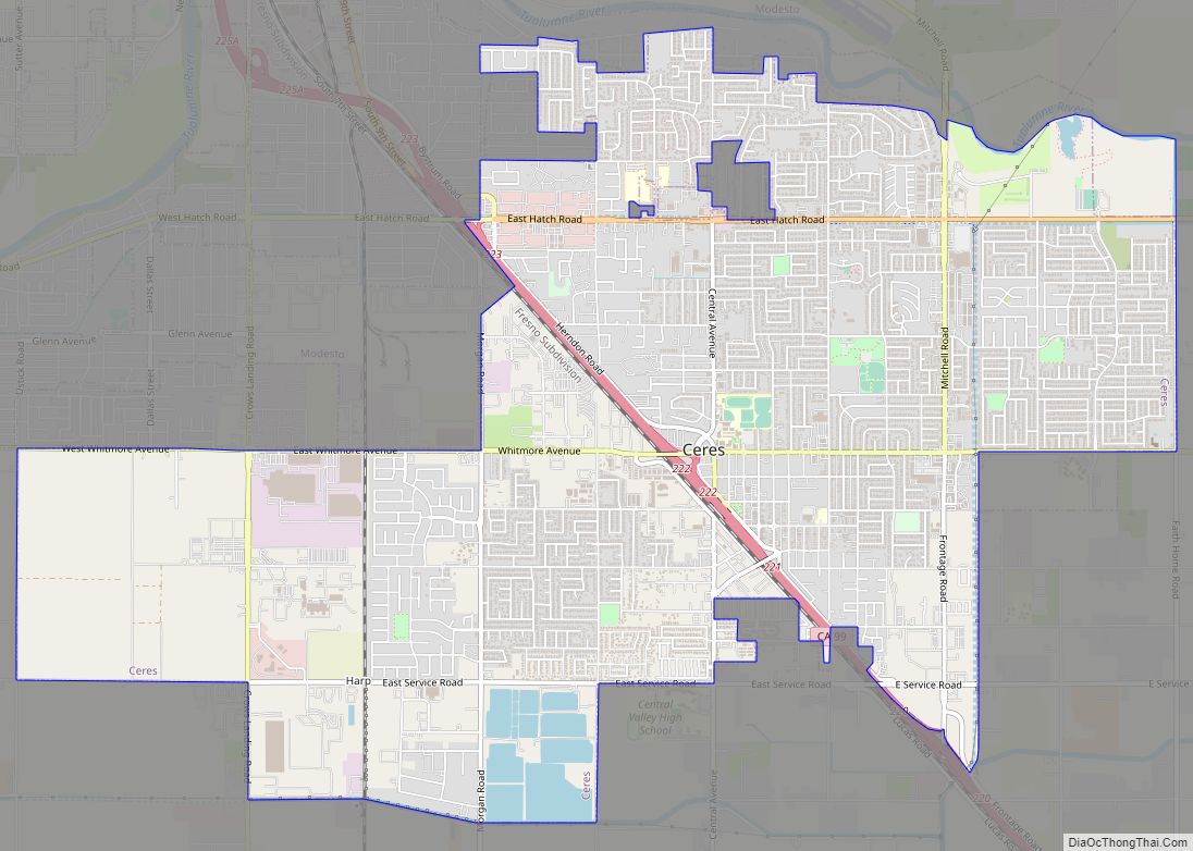
Online Interactive Map
Click on ![]() to view map in "full screen" mode.
to view map in "full screen" mode.
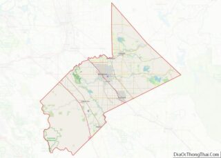
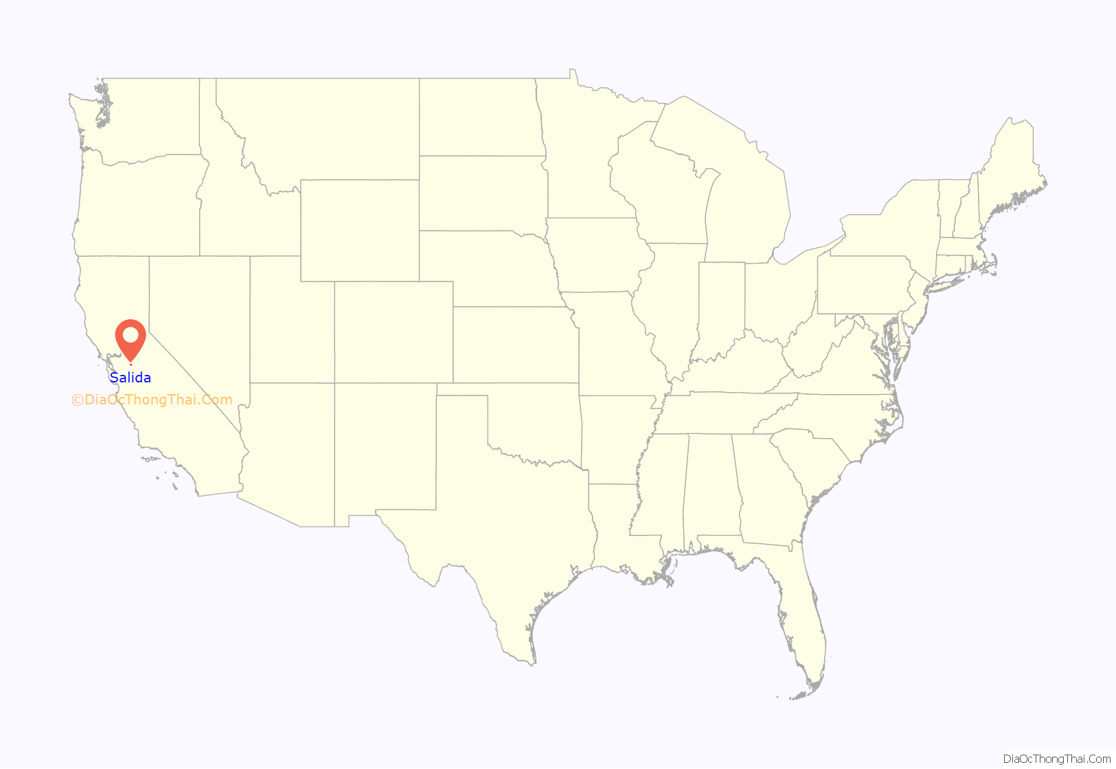
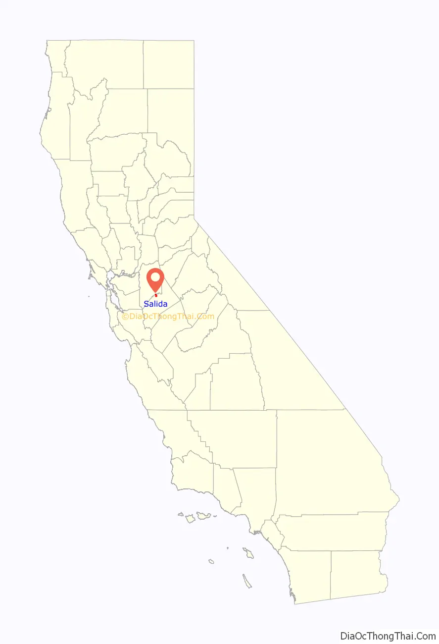
Salida location map. Where is Salida CDP?
History
In 1870, the Central Pacific Railroad extended its track construction to Stanislaus County’s northern exit. There they established a railroad station with the Spanish name of salida, which in English means exit. This name favorably matched with modesto because both towns have Spanish meanings. They also laid the town out in the shape of a triangle. In 2012 and 2013, initial attempts to annex Salida to Modesto were studied, but were met with protests from local residents.
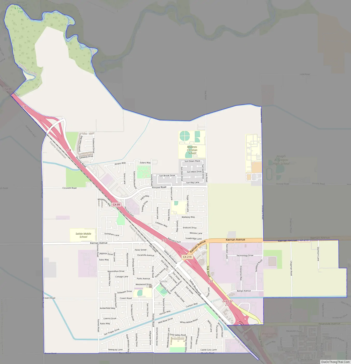
Salida Road Map
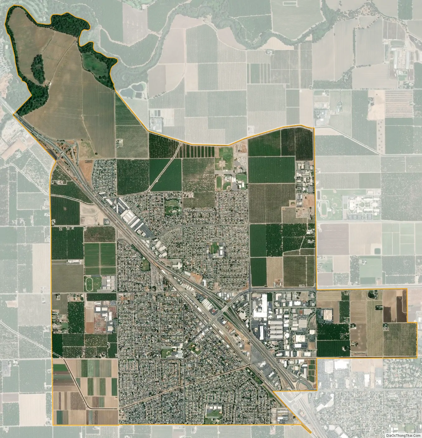
Salida city Satellite Map
Geography
Salida is located at 37°42′36″N 121°5′21″W / 37.71000°N 121.08917°W / 37.71000; -121.08917 (37.709877, -121.089286).
According to the United States Census Bureau, the CDP has a total area of 5.6 square miles (15 km) of which 5.3 square miles (14 km) is land and 0.25 square miles (0.65 km) of it (4.50%) is water.
See also
Map of California State and its subdivision:- Alameda
- Alpine
- Amador
- Butte
- Calaveras
- Colusa
- Contra Costa
- Del Norte
- El Dorado
- Fresno
- Glenn
- Humboldt
- Imperial
- Inyo
- Kern
- Kings
- Lake
- Lassen
- Los Angeles
- Madera
- Marin
- Mariposa
- Mendocino
- Merced
- Modoc
- Mono
- Monterey
- Napa
- Nevada
- Orange
- Placer
- Plumas
- Riverside
- Sacramento
- San Benito
- San Bernardino
- San Diego
- San Francisco
- San Joaquin
- San Luis Obispo
- San Mateo
- Santa Barbara
- Santa Clara
- Santa Cruz
- Shasta
- Sierra
- Siskiyou
- Solano
- Sonoma
- Stanislaus
- Sutter
- Tehama
- Trinity
- Tulare
- Tuolumne
- Ventura
- Yolo
- Yuba
- Alabama
- Alaska
- Arizona
- Arkansas
- California
- Colorado
- Connecticut
- Delaware
- District of Columbia
- Florida
- Georgia
- Hawaii
- Idaho
- Illinois
- Indiana
- Iowa
- Kansas
- Kentucky
- Louisiana
- Maine
- Maryland
- Massachusetts
- Michigan
- Minnesota
- Mississippi
- Missouri
- Montana
- Nebraska
- Nevada
- New Hampshire
- New Jersey
- New Mexico
- New York
- North Carolina
- North Dakota
- Ohio
- Oklahoma
- Oregon
- Pennsylvania
- Rhode Island
- South Carolina
- South Dakota
- Tennessee
- Texas
- Utah
- Vermont
- Virginia
- Washington
- West Virginia
- Wisconsin
- Wyoming