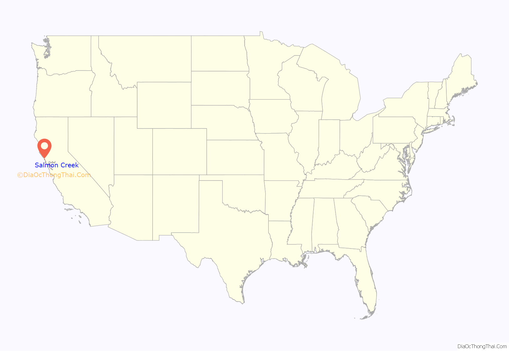
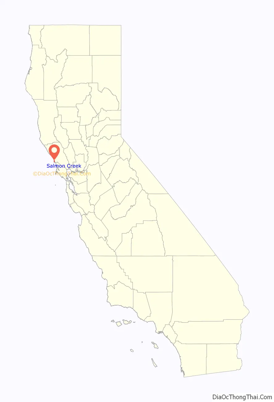
Salmon Creek is an unincorporated community settlement and census-designated place (CDP) in Sonoma County, California, U.S. It is located on the Pacific coast about 90 minutes drive north of San Francisco, between the towns of Jenner and Bodega Bay, California. The population was 86 at the 2010 census.
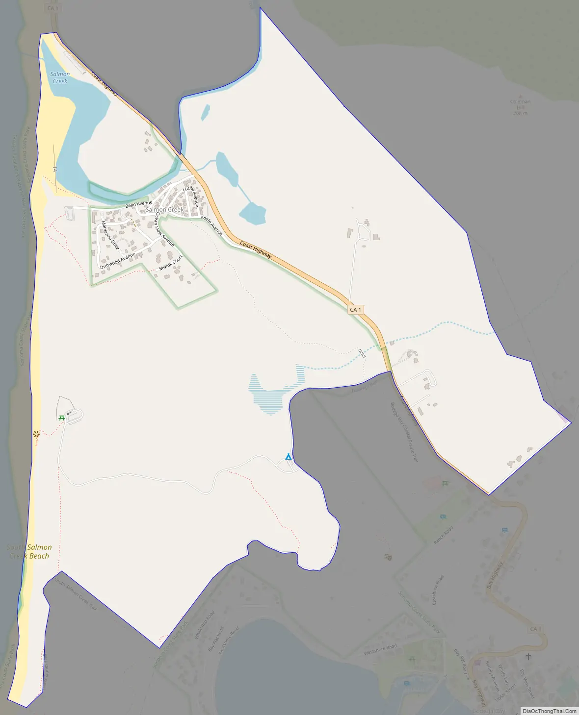
The settlement is bounded to the north by Salmon Creek, to the east by State Route 1 and to the west and south by Sonoma Coast State Beach.
| Name: | Salmon Creek CDP |
|---|---|
| LSAD Code: | 57 |
| LSAD Description: | CDP (suffix) |
| State: | California |
| County: | Sonoma County |
| Elevation: | 46 ft (14 m) |
| Total Area: | 1.114 sq mi (2.886 km²) |
| Land Area: | 1.114 sq mi (2.886 km²) |
| Water Area: | 0 sq mi (0 km²) 0% |
| Total Population: | 86 |
| Population Density: | 77/sq mi (30/km²) |
| ZIP code: | 94923 |
| Area code: | 707 |
| FIPS code: | 0664252 |
| GNISfeature ID: | 1659573 |
Online Interactive Map
Click on ![]() to view map in "full screen" mode.
to view map in "full screen" mode.
Salmon Creek location map. Where is Salmon Creek CDP?
History
The Coast Miwok village of Pulya-lakum was formerly located near the mouth of Salmon Creek. In 1812, the Russian-American Company established Fort Ross about 12 miles (19 km) northwest of present-day Salmon Creek, bringing the area into the Russian Empire’s sphere of influence.
Salmon Creek Road Map
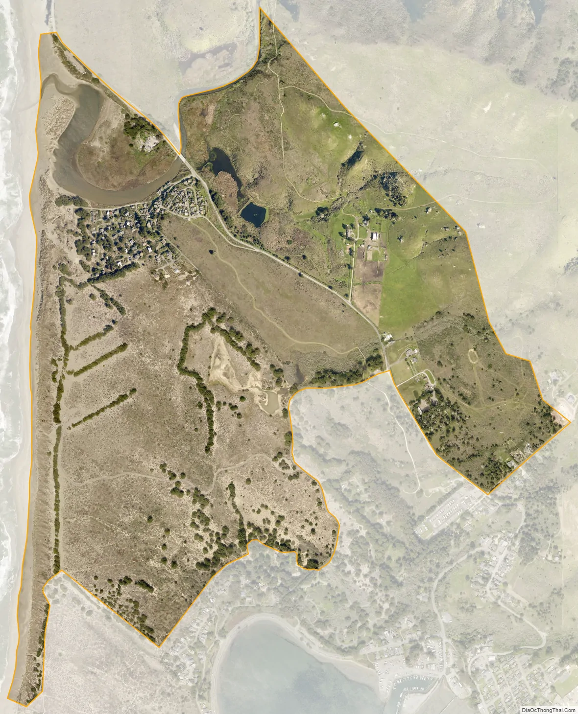
Salmon Creek city Satellite Map
Geography
According to the United States Census Bureau, the CDP covers an area of 1.1 square miles (2.9 km), all of it land.
See also
Map of California State and its subdivision:- Alameda
- Alpine
- Amador
- Butte
- Calaveras
- Colusa
- Contra Costa
- Del Norte
- El Dorado
- Fresno
- Glenn
- Humboldt
- Imperial
- Inyo
- Kern
- Kings
- Lake
- Lassen
- Los Angeles
- Madera
- Marin
- Mariposa
- Mendocino
- Merced
- Modoc
- Mono
- Monterey
- Napa
- Nevada
- Orange
- Placer
- Plumas
- Riverside
- Sacramento
- San Benito
- San Bernardino
- San Diego
- San Francisco
- San Joaquin
- San Luis Obispo
- San Mateo
- Santa Barbara
- Santa Clara
- Santa Cruz
- Shasta
- Sierra
- Siskiyou
- Solano
- Sonoma
- Stanislaus
- Sutter
- Tehama
- Trinity
- Tulare
- Tuolumne
- Ventura
- Yolo
- Yuba
- Alabama
- Alaska
- Arizona
- Arkansas
- California
- Colorado
- Connecticut
- Delaware
- District of Columbia
- Florida
- Georgia
- Hawaii
- Idaho
- Illinois
- Indiana
- Iowa
- Kansas
- Kentucky
- Louisiana
- Maine
- Maryland
- Massachusetts
- Michigan
- Minnesota
- Mississippi
- Missouri
- Montana
- Nebraska
- Nevada
- New Hampshire
- New Jersey
- New Mexico
- New York
- North Carolina
- North Dakota
- Ohio
- Oklahoma
- Oregon
- Pennsylvania
- Rhode Island
- South Carolina
- South Dakota
- Tennessee
- Texas
- Utah
- Vermont
- Virginia
- Washington
- West Virginia
- Wisconsin
- Wyoming


