San Ardo, formerly known as San Bernardo (Spanish for “St. Bernard”), is an unincorporated community and census-designated place (CDP) in Monterey County, California, United States. San Ardo is located 18 miles (29 km) southeast of King City at an elevation of 449 feet (137 m). The population was 392 at the 2020 census, down from 517 in 2010.
| Name: | San Ardo CDP |
|---|---|
| LSAD Code: | 57 |
| LSAD Description: | CDP (suffix) |
| State: | California |
| County: | Monterey County |
| Elevation: | 449 ft (137 m) |
| Total Area: | 0.449 sq mi (1.164 km²) |
| Land Area: | 0.449 sq mi (1.164 km²) |
| Water Area: | 0 sq mi (0 km²) 0% |
| Total Population: | 392 |
| Population Density: | 870/sq mi (340/km²) |
| ZIP code: | 93450 |
| Area code: | 831 |
| FIPS code: | 0664476 |
| GNISfeature ID: | 248795 |
Online Interactive Map
Click on ![]() to view map in "full screen" mode.
to view map in "full screen" mode.
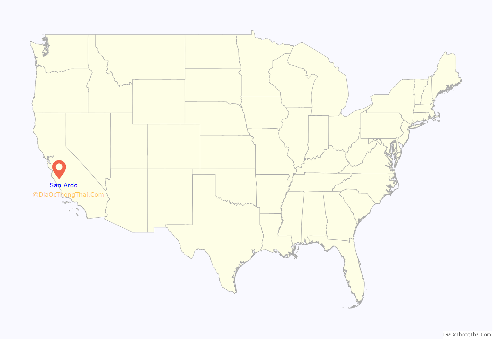
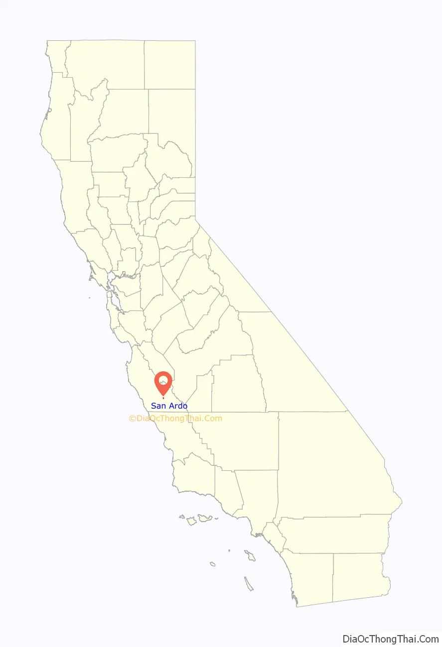
San Ardo location map. Where is San Ardo CDP?
History
The owner of the San Bernardo land grant, M.J. Brandenstein, laid out the town when the railroad reached his land in 1887. The San Bernardo post office opened in 1886, and changed its name to San Ardo in 1887. The former name of San Bernardo was changed to avoid confusion with San Bernardino, California.
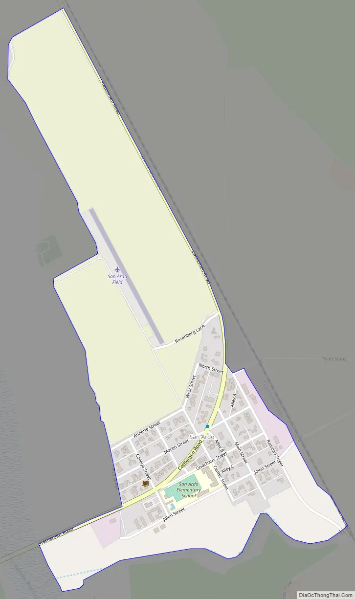
San Ardo Road Map
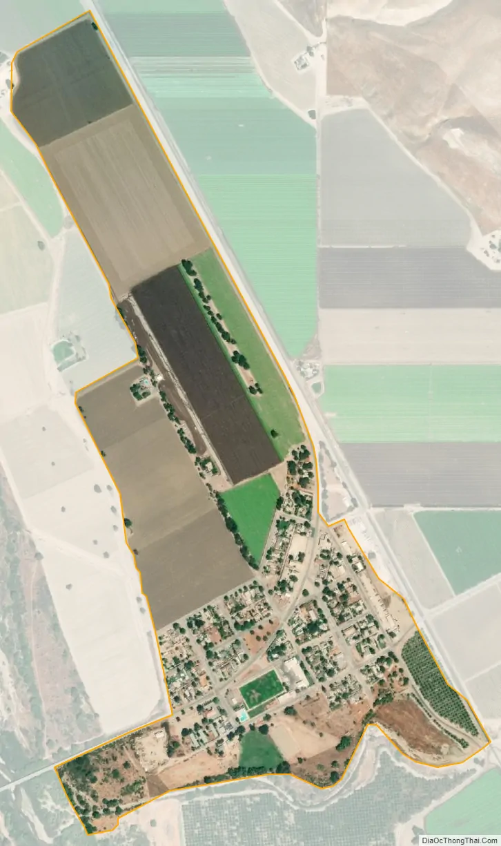
San Ardo city Satellite Map
Geography
San Ardo is near the point where the broad Salinas Valley has its southeastern terminus and pinches out within the converging portions of the California Coast Ranges, including the Santa Lucia Mountains on the west and the Cholame Hills and the Diablo Range on the east. U.S. Route 101 passes west of the town, leading northwest to 18 miles (29 km) to King City and 66 miles (106 km) to Salinas, the Monterey county seat, while to the southeast it leads 33 miles (53 km) to Paso Robles.
According to the United States Census Bureau, the CDP has a total area of 0.4 square miles (1.0 km), all of it land. The Salinas River flows northward along the west side of the community.
Climate
This region experiences warm (but not hot) and dry summers, with no average monthly temperatures above 71.6 °F. According to the Köppen Climate Classification system, San Ardo has a warm-summer Mediterranean climate, abbreviated “Csb” on climate maps.
See also
Map of California State and its subdivision:- Alameda
- Alpine
- Amador
- Butte
- Calaveras
- Colusa
- Contra Costa
- Del Norte
- El Dorado
- Fresno
- Glenn
- Humboldt
- Imperial
- Inyo
- Kern
- Kings
- Lake
- Lassen
- Los Angeles
- Madera
- Marin
- Mariposa
- Mendocino
- Merced
- Modoc
- Mono
- Monterey
- Napa
- Nevada
- Orange
- Placer
- Plumas
- Riverside
- Sacramento
- San Benito
- San Bernardino
- San Diego
- San Francisco
- San Joaquin
- San Luis Obispo
- San Mateo
- Santa Barbara
- Santa Clara
- Santa Cruz
- Shasta
- Sierra
- Siskiyou
- Solano
- Sonoma
- Stanislaus
- Sutter
- Tehama
- Trinity
- Tulare
- Tuolumne
- Ventura
- Yolo
- Yuba
- Alabama
- Alaska
- Arizona
- Arkansas
- California
- Colorado
- Connecticut
- Delaware
- District of Columbia
- Florida
- Georgia
- Hawaii
- Idaho
- Illinois
- Indiana
- Iowa
- Kansas
- Kentucky
- Louisiana
- Maine
- Maryland
- Massachusetts
- Michigan
- Minnesota
- Mississippi
- Missouri
- Montana
- Nebraska
- Nevada
- New Hampshire
- New Jersey
- New Mexico
- New York
- North Carolina
- North Dakota
- Ohio
- Oklahoma
- Oregon
- Pennsylvania
- Rhode Island
- South Carolina
- South Dakota
- Tennessee
- Texas
- Utah
- Vermont
- Virginia
- Washington
- West Virginia
- Wisconsin
- Wyoming


