San Jacinto (/ˌsæn həˈsɪntoʊ, jəˈsɪntoʊ/ SAN hə-SIN-toh, yə-SIN-toh; Spanish: [san xaˈsinto]; Spanish for “St. Hyacinth”) is a city in Riverside County, California. It is located at the north end of the San Jacinto Valley, with Hemet to its south and Beaumont, California, to its north. The mountains associated with the valley are the San Jacinto Mountains. The population was 44,199 at the 2010 census. The city was founded in 1870 and incorporated on April 20, 1888, making it one of the oldest cities in Riverside County.
The city is home to Mt. San Jacinto College, a community college founded in 1965. San Jacinto will also be home to the eastern end of the Mid County Parkway, a planned route that would eventually connect it to the city of Perris. In the late 19th century and early 20th century, the city became a home to many dairies, and a center for agriculture.
San Jacinto also is home to the Soboba Casino, a gaming casino owned and operated by the Soboba Band of Luiseño Indians. The Sobobas are sovereign and self-sufficient in community affairs. They operate an Indian tribal school, the Noli Academy.
| Name: | San Jacinto city |
|---|---|
| LSAD Code: | 25 |
| LSAD Description: | city (suffix) |
| State: | California |
| County: | Riverside County |
| Incorporated: | April 20, 1888 |
| Elevation: | 1,565 ft (477 m) |
| Total Area: | 26.12 sq mi (67.66 km²) |
| Land Area: | 25.96 sq mi (67.23 km²) |
| Water Area: | 0.17 sq mi (0.43 km²) 1.59% |
| Total Population: | 44,199 |
| Population Density: | 1,896.02/sq mi (732.05/km²) |
| ZIP code: | 92581-92583 |
| Area code: | 951 |
| FIPS code: | 0667112 |
| Website: | www.sanjacintoca.gov |
Online Interactive Map
Click on ![]() to view map in "full screen" mode.
to view map in "full screen" mode.
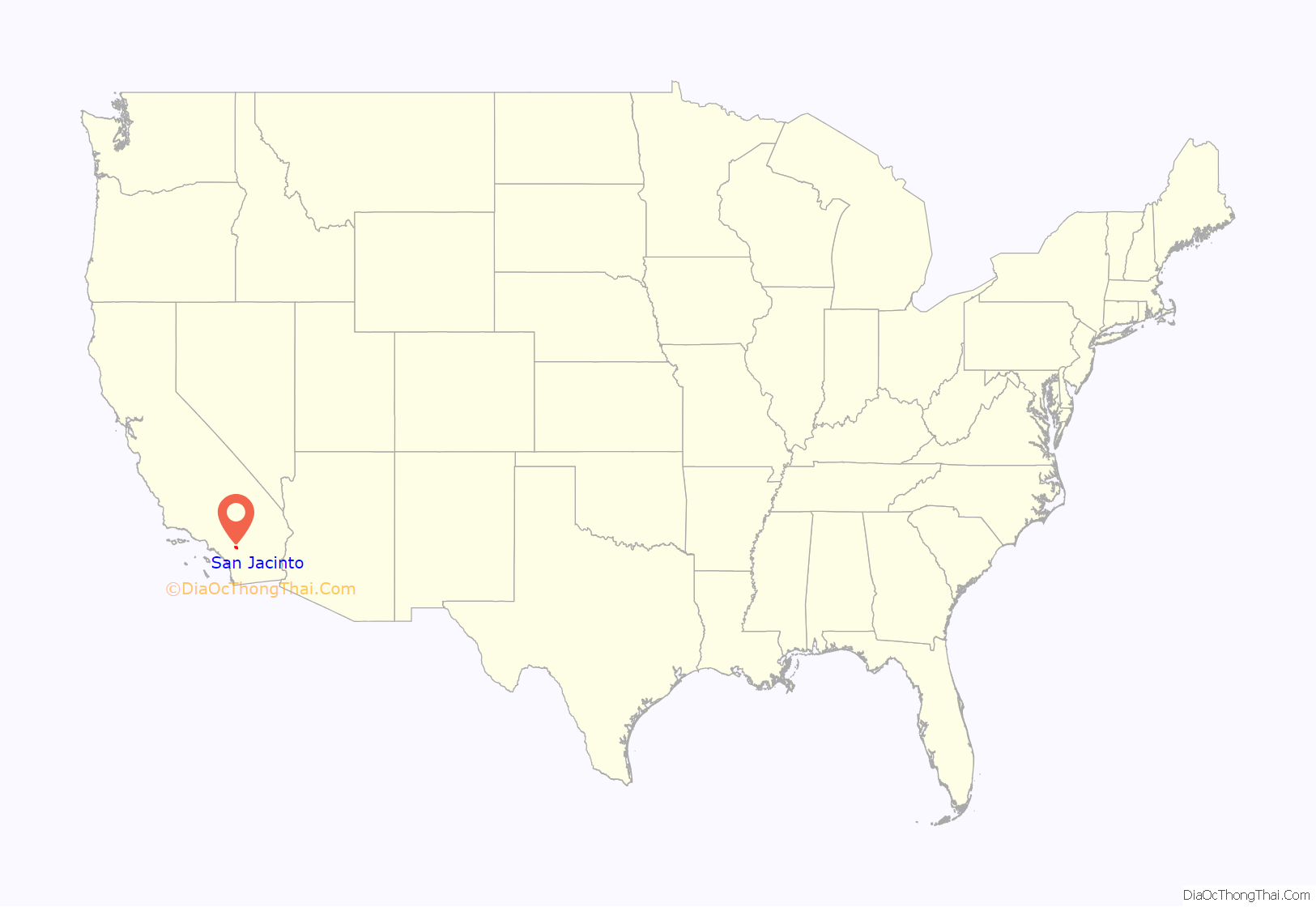
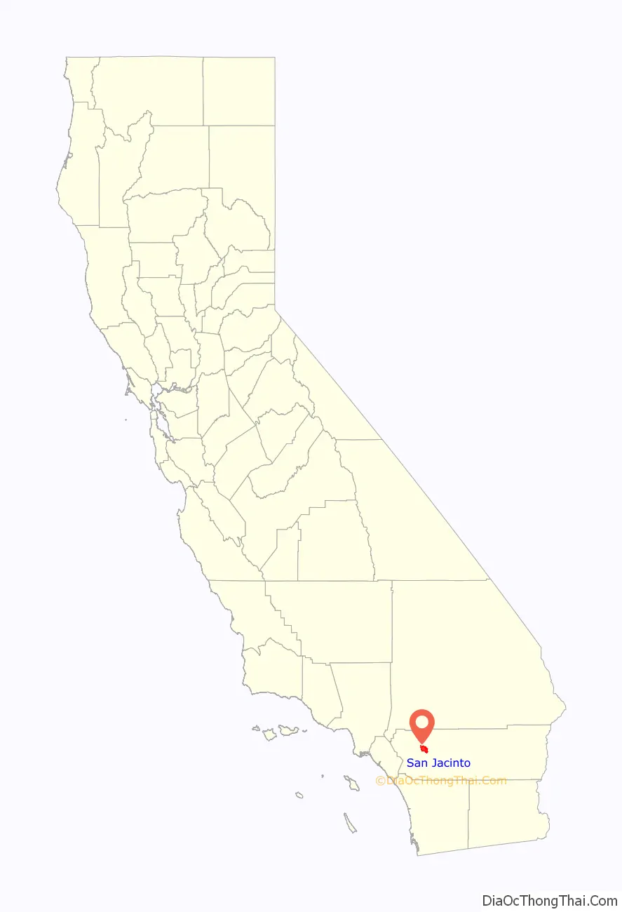
San Jacinto location map. Where is San Jacinto city?
History
The Luiseño were the original inhabitants of what later would be called the San Jacinto Valley, having many villages with residents. In their own language, these people called themselves Payomkowishum (also spelled “Payomkawichum”), meaning People of the West. They are a Native American people who at the time of the first contacts with the Spanish in the sixteenth century, inhabited the coastal area of southern California, ranging fifty miles from what now is the southern part of Los Angeles County, California to the northern part of contemporary San Diego County, California, and their settlements extended inland for thirty miles.
The tribe was named Luiseño by the Spanish due to their proximity to the Mission San Luís Rey de Francia (“The Mission of Saint Louis King of France,” known as the “King of the Missions”), which was founded on June 13, 1798, by Father Fermín Francisco de Lasuén, in what was the First Military District in what now is Oceanside, California, in northern San Diego County.
The Anza Trail, one of the first European overland routes to California, named after Juan Bautista de Anza, crossed the valley in the 1770s. Mission padres named the valley, San Jacinto, which is Spanish for Saint Hyacinth, and around 1820 they established an outpost there.
In 1842 José Antonio Estudillo received the Rancho San Jacinto Viejo Mexican land grant. In the 1860s, the Estudillo family began selling off portions of their rancho and through acquisitions, a small American community began to form. In 1868, local residents petitioned to form a school district and by 1870 a store and post office had been established. With these establishments, 1870 is considered the founding date of San Jacinto.
A plan for the community was developed in 1883 and a city government for it was incorporated on April 20, 1888, within San Diego County. San Jacinto is one of the oldest American cities in the region. In May 1893, Riverside County was created by the division of northern San Diego County and part of what now is San Bernardino County, changing the county government over San Jacinto as the new county was created.
In 1883, the San Jacinto Land Association laid out the modern city of San Jacinto at Five Points. The railroad arrived in 1888 and the city government was incorporated that same year.
The local economy was built on agriculture for many years and the city also received a boost from the many tourists who visited the nearby hot springs. The city, and its residents, helped to start the Ramona Pageant ( California’s official State Outdoor Play), in 1923, and have supported the historic production ever since.
On July 15, 1937, San Jacinto was the end point for the longest uninterrupted airplane flight to that date when Mikhail Gromov’s crew of three made the historic 6,262-mile (10,078 km) polar flight from Moscow, USSR, in a Tupolev ANT-25. This flight followed another similar historic flight over the pole when Valery Chkalov’s crew of three ended up in Vancouver‘s Pearson Airfield earlier that same year. With these two flights, the USSR earned two major milestones in the Fédération Aéronautique Internationale (FAI) flight records. In the early 1950s the fraternal group E Clampus Vitus and the Riverside County Department of Transportation commemorated the Gromov flight by erecting a stone marker on Cottonwood Avenue, just west of Sanderson Avenue in west-central San Jacinto. The landing site is also marked by California State Historical Landmark Number 989.
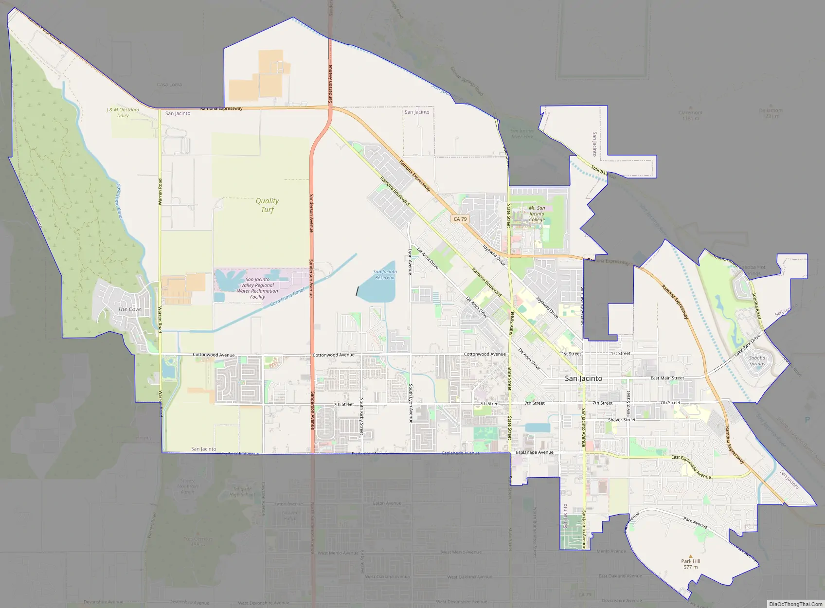
San Jacinto Road Map
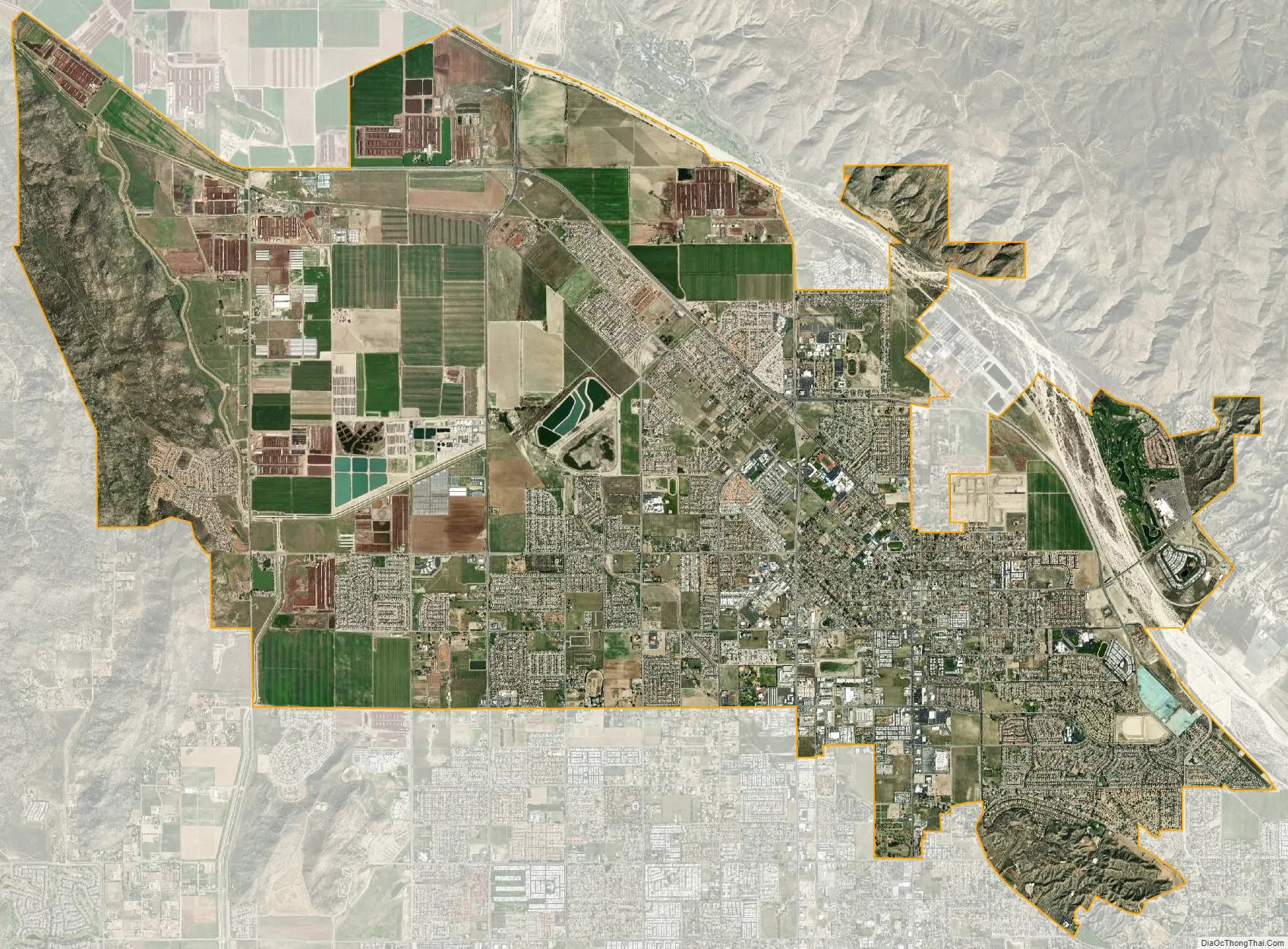
San Jacinto city Satellite Map
Geography
San Jacinto is located at 33°47′14″N 116°58′0″W / 33.78722°N 116.96667°W / 33.78722; -116.96667 (33.787119, −116.966672).
According to the United States Census Bureau, the city has a total area of 26.1 square miles (68 km), of which 25.7 square miles (67 km) is land and 0.4 square miles (1.0 km), or 1.59%, is water. The San Jacinto reservoir is an artificial lake used as a basin for the San Diego Aqueduct, a branch of the Colorado River Aqueduct, west of town.
Since local geological records have been kept, the city has been struck by two large earthquakes, one on Christmas Day in 1899, and the other on April 21, 1918.
See also
Map of California State and its subdivision:- Alameda
- Alpine
- Amador
- Butte
- Calaveras
- Colusa
- Contra Costa
- Del Norte
- El Dorado
- Fresno
- Glenn
- Humboldt
- Imperial
- Inyo
- Kern
- Kings
- Lake
- Lassen
- Los Angeles
- Madera
- Marin
- Mariposa
- Mendocino
- Merced
- Modoc
- Mono
- Monterey
- Napa
- Nevada
- Orange
- Placer
- Plumas
- Riverside
- Sacramento
- San Benito
- San Bernardino
- San Diego
- San Francisco
- San Joaquin
- San Luis Obispo
- San Mateo
- Santa Barbara
- Santa Clara
- Santa Cruz
- Shasta
- Sierra
- Siskiyou
- Solano
- Sonoma
- Stanislaus
- Sutter
- Tehama
- Trinity
- Tulare
- Tuolumne
- Ventura
- Yolo
- Yuba
- Alabama
- Alaska
- Arizona
- Arkansas
- California
- Colorado
- Connecticut
- Delaware
- District of Columbia
- Florida
- Georgia
- Hawaii
- Idaho
- Illinois
- Indiana
- Iowa
- Kansas
- Kentucky
- Louisiana
- Maine
- Maryland
- Massachusetts
- Michigan
- Minnesota
- Mississippi
- Missouri
- Montana
- Nebraska
- Nevada
- New Hampshire
- New Jersey
- New Mexico
- New York
- North Carolina
- North Dakota
- Ohio
- Oklahoma
- Oregon
- Pennsylvania
- Rhode Island
- South Carolina
- South Dakota
- Tennessee
- Texas
- Utah
- Vermont
- Virginia
- Washington
- West Virginia
- Wisconsin
- Wyoming


