San Lucas (Spanish for “St. Luke”) is an unincorporated community and census-designated place (CDP) in Monterey County, California, United States. It was founded in 1886 and named after the Rancho San Lucas, which was granted in 1842. The post office was first established in 1892.
San Lucas is located in the Salinas Valley, on the Salinas River 8 miles (13 km) southeast of King City, at an elevation of 410 feet (120 m).
The population was 324 at the 2020 census, up from 269 in 2010.
| Name: | San Lucas CDP |
|---|---|
| LSAD Code: | 57 |
| LSAD Description: | CDP (suffix) |
| State: | California |
| County: | Monterey County |
| Elevation: | 410 ft (125 m) |
| Total Area: | 0.394 sq mi (1.021 km²) |
| Land Area: | 0.394 sq mi (1.021 km²) |
| Water Area: | 0 sq mi (0 km²) 0% |
| Total Population: | 324 |
| Population Density: | 820/sq mi (320/km²) |
| ZIP code: | 93954 |
| Area code: | 831 |
| FIPS code: | 0668140 |
| GNISfeature ID: | 0248896 |
Online Interactive Map
Click on ![]() to view map in "full screen" mode.
to view map in "full screen" mode.
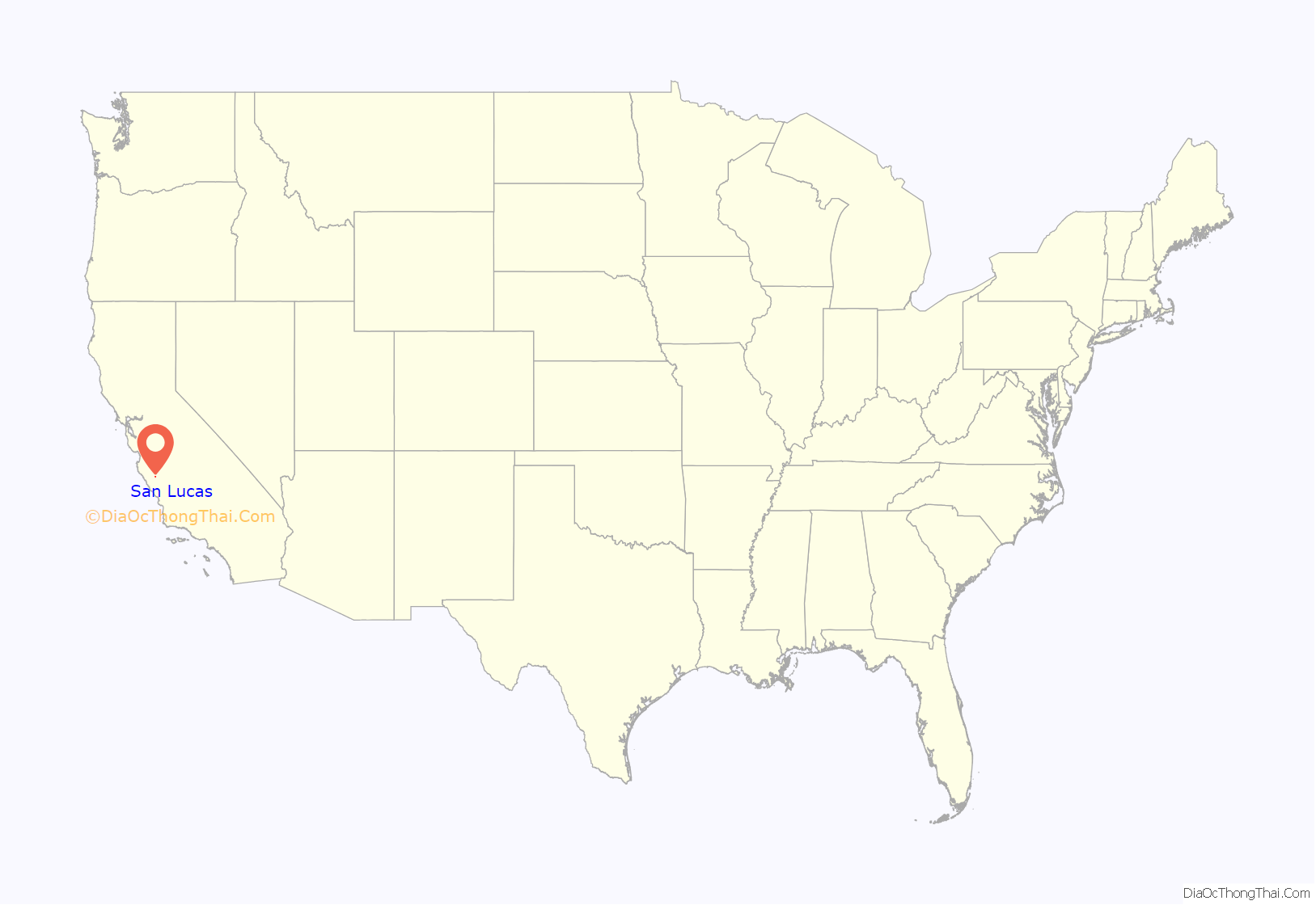
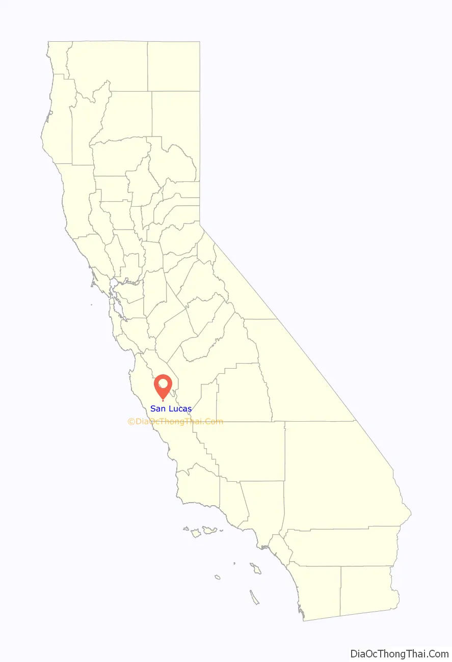
San Lucas location map. Where is San Lucas CDP?
History
The Southern Pacific Railroad reached the place in 1886 and named it for the Rancho San Lucas Mexican land grant. The San Lucas post office opened in 1887 (having been transferred from Griswold).
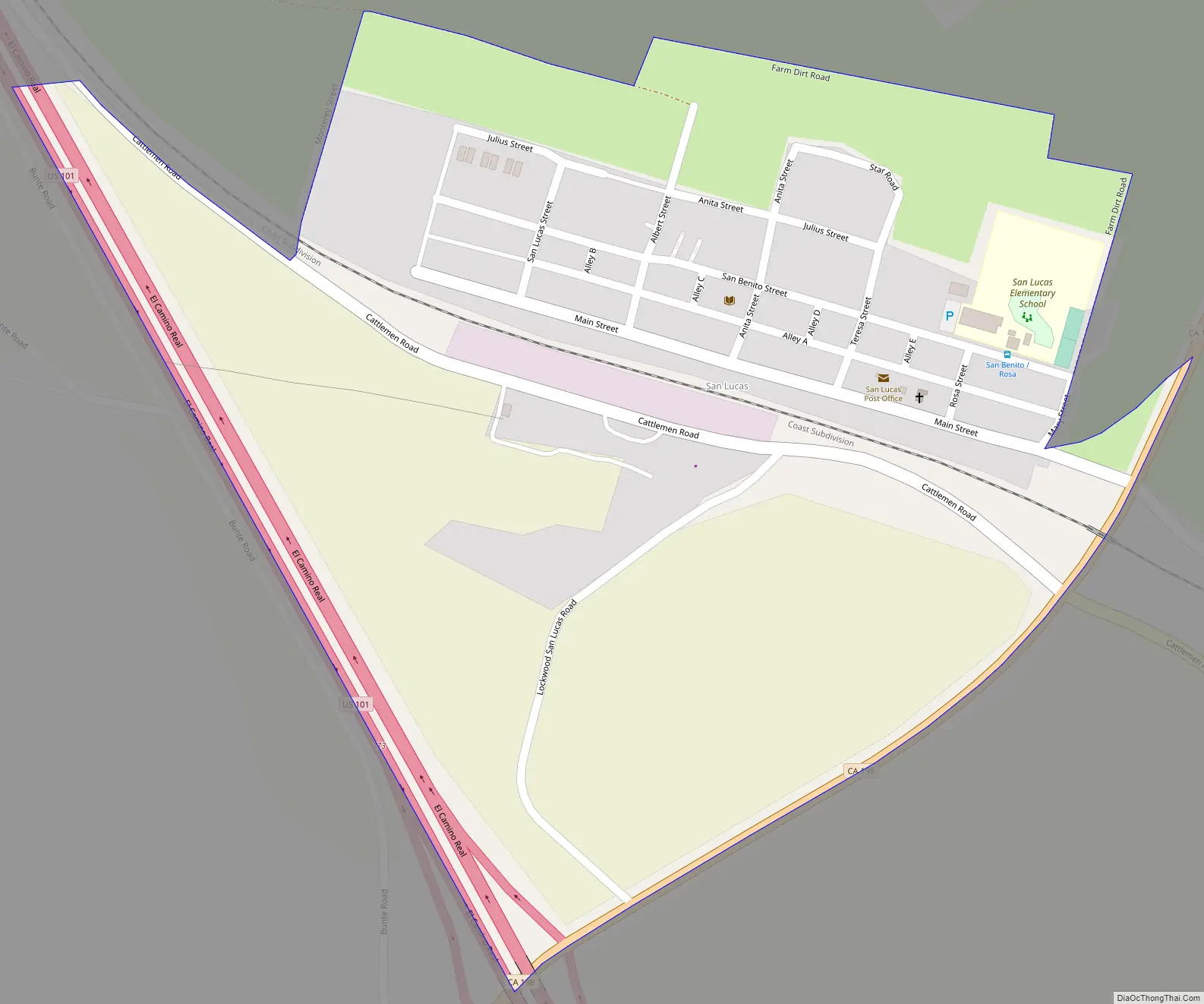
San Lucas Road Map
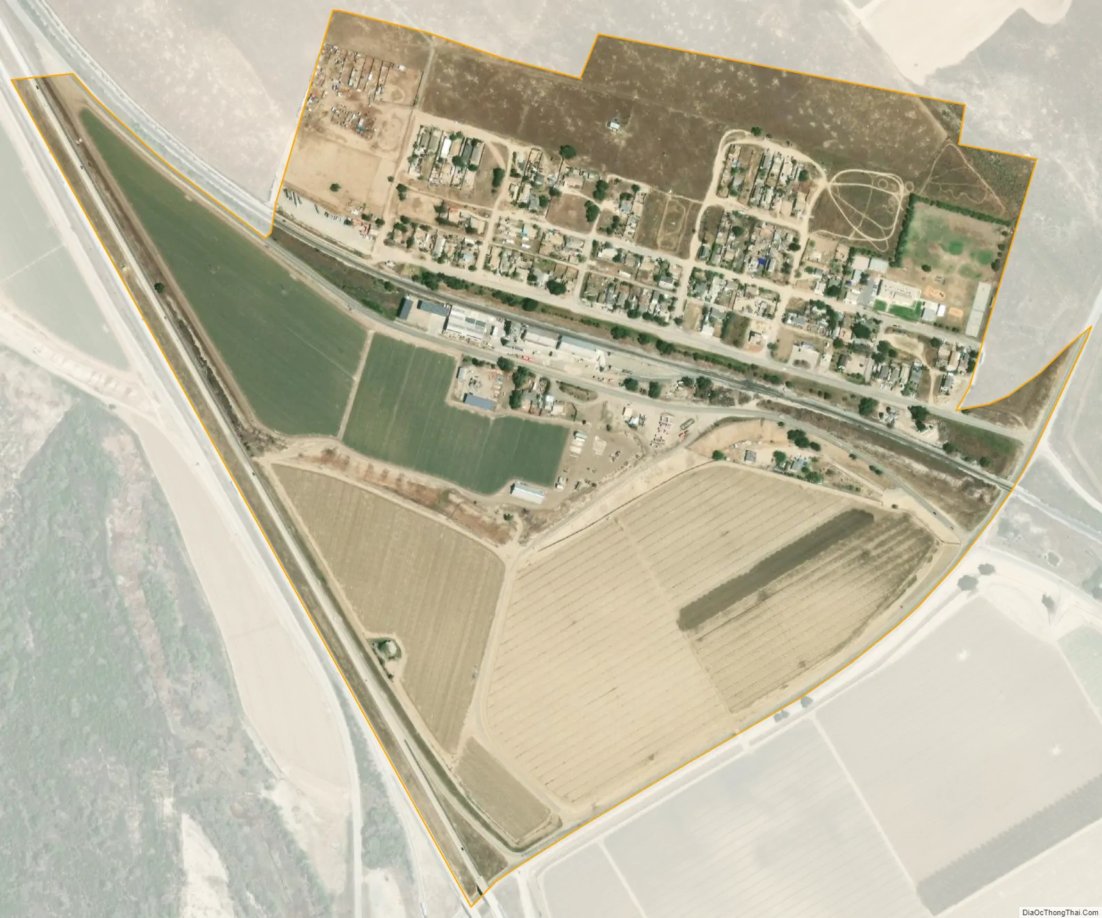
San Lucas city Satellite Map
Geography
San Lucas is located in southeastern Monterey County at 36°07′44″N 121°01′14″W / 36.12889°N 121.02056°W / 36.12889; -121.02056, on the east side of the Salinas Valley. U.S. Route 101 runs along the western edge of the community, leading northwest 8 miles (13 km) to King City and 55 miles (89 km) Salinas, the county seat, while leading southeast 42 miles (68 km) to Paso Robles. California State Route 198 leads east from San Lucas across the San Andreas Rift Zone and the Diablo Range 48 miles (77 km) to Coalinga.
According to the United States Census Bureau, the San Lucas CDP has a total area of 0.4 square miles (1.0 km), all of it land.
The San Lucas AVA (American Viticultural Area) is located in the area.
Climate
This region experiences warm (but not hot) and dry summers, with no average monthly temperatures above 71.6 °F. According to the Köppen Climate Classification system, San Lucas has a warm-summer Mediterranean climate, abbreviated “Csb” on climate maps.
See also
Map of California State and its subdivision:- Alameda
- Alpine
- Amador
- Butte
- Calaveras
- Colusa
- Contra Costa
- Del Norte
- El Dorado
- Fresno
- Glenn
- Humboldt
- Imperial
- Inyo
- Kern
- Kings
- Lake
- Lassen
- Los Angeles
- Madera
- Marin
- Mariposa
- Mendocino
- Merced
- Modoc
- Mono
- Monterey
- Napa
- Nevada
- Orange
- Placer
- Plumas
- Riverside
- Sacramento
- San Benito
- San Bernardino
- San Diego
- San Francisco
- San Joaquin
- San Luis Obispo
- San Mateo
- Santa Barbara
- Santa Clara
- Santa Cruz
- Shasta
- Sierra
- Siskiyou
- Solano
- Sonoma
- Stanislaus
- Sutter
- Tehama
- Trinity
- Tulare
- Tuolumne
- Ventura
- Yolo
- Yuba
- Alabama
- Alaska
- Arizona
- Arkansas
- California
- Colorado
- Connecticut
- Delaware
- District of Columbia
- Florida
- Georgia
- Hawaii
- Idaho
- Illinois
- Indiana
- Iowa
- Kansas
- Kentucky
- Louisiana
- Maine
- Maryland
- Massachusetts
- Michigan
- Minnesota
- Mississippi
- Missouri
- Montana
- Nebraska
- Nevada
- New Hampshire
- New Jersey
- New Mexico
- New York
- North Carolina
- North Dakota
- Ohio
- Oklahoma
- Oregon
- Pennsylvania
- Rhode Island
- South Carolina
- South Dakota
- Tennessee
- Texas
- Utah
- Vermont
- Virginia
- Washington
- West Virginia
- Wisconsin
- Wyoming


