Sanger is a city in Fresno County, California, United States. The population was 26,617 at the 2020 census, up from 24,270 at the 2010 census and 18,731 at the 2000 census. Sanger is located 13 miles (21 km) east-southeast of Fresno, at an elevation of 371 feet (113 m).
| Name: | Sanger city |
|---|---|
| LSAD Code: | 25 |
| LSAD Description: | city (suffix) |
| State: | California |
| County: | Fresno County |
| Founded: | 1888 |
| Incorporated: | May 9, 1911 |
| Elevation: | 371 ft (113 m) |
| Total Area: | 5.76 sq mi (14.92 km²) |
| Land Area: | 5.76 sq mi (14.92 km²) |
| Water Area: | 0.00 sq mi (0.00 km²) 0% |
| Total Population: | 24,270 |
| Population Density: | 4,397.60/sq mi (1,697.96/km²) |
| ZIP code: | 93657 |
| Area code: | 559 |
| FIPS code: | 0667056 |
| Website: | www.ci.sanger.ca.us |
Online Interactive Map
Click on ![]() to view map in "full screen" mode.
to view map in "full screen" mode.
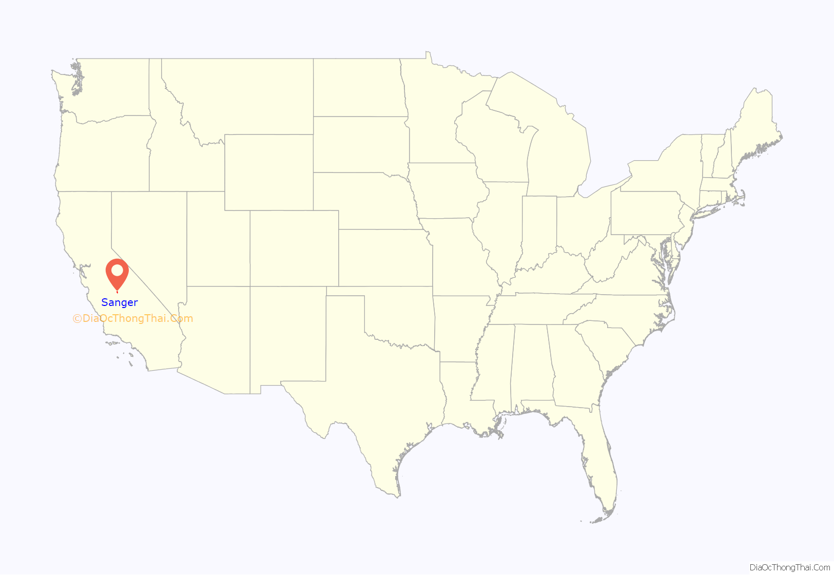
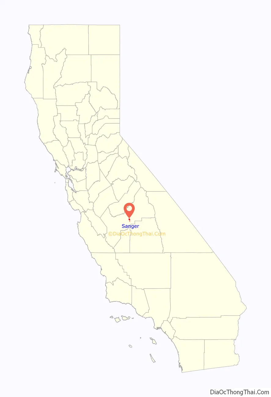
Sanger location map. Where is Sanger city?
History
In 1886, the Southern Pacific Company referred to the area as Sanger Junction, concerning plans to improve access to the fertile land. Later the area was known simply as Sanger. The name commemorates Joseph Sanger Jr., secretary-treasurer of the Railroad Yardmasters Association, who visited California in 1887.
In 1888, the Pacific Improvement Company owned and sold lots on the site and the first post office opened.
In 1890, the Kings River Lumber Company built a 62-mile long log flume to transport timber from the High Sierras to Sanger. That year more than 75 buildings were erected.
The Sanger Railroad Depot was built in 1887 next to the Southern Pacific Railroad line that connected Fresno to Porterville. It is a Southern Pacific standard design Two Story Combination Depot No. 13 or 19. Sanger became a center for shipping grain, citrus and lumber from the nearby mountains. When the depot was retired, it was the oldest building in the city and was donated to the Sanger Historical Society which turned it into the Sanger Depot Museum in 1977.
By 1908, Sanger had a grammar school, a high school, seven churches, two newspapers, an opera house, a bank, grain warehouses, packing houses and two physicians.
The city incorporated in 1911.
In 1949, the city was designated the “Nation’s Christmas Tree City” by the U.S. Postal Service.
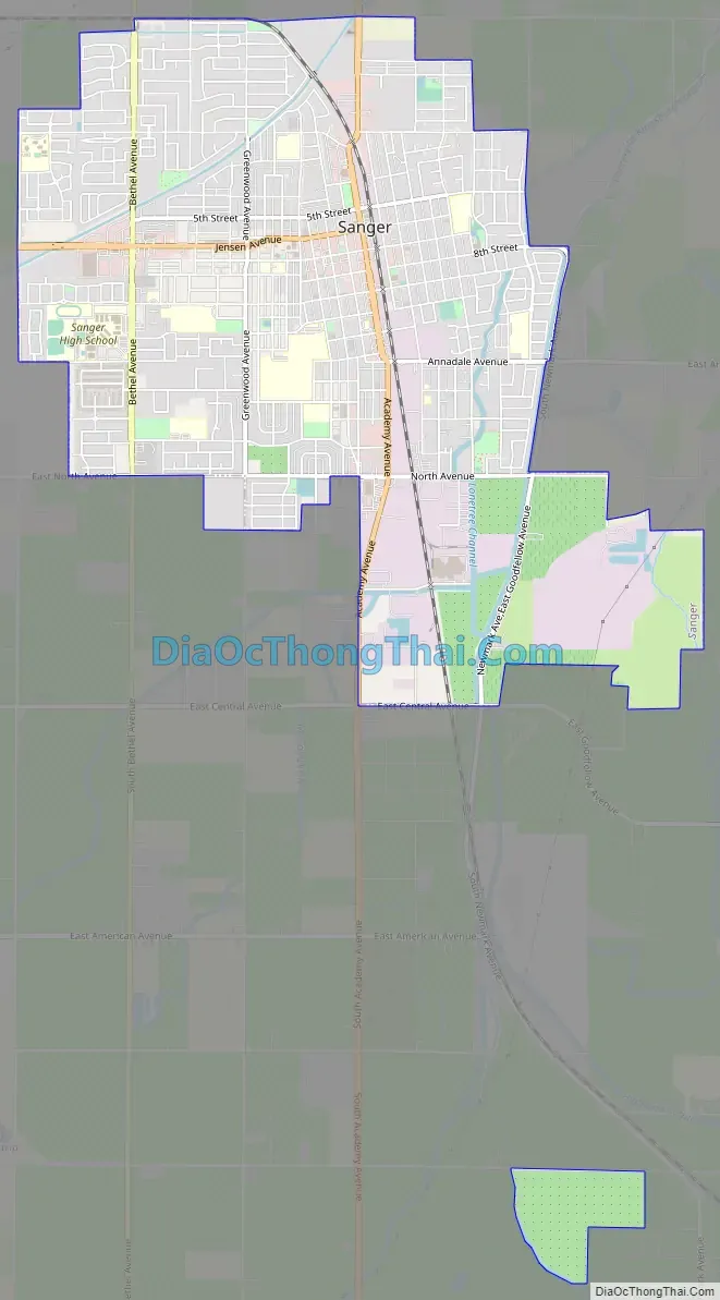
Sanger Road Map
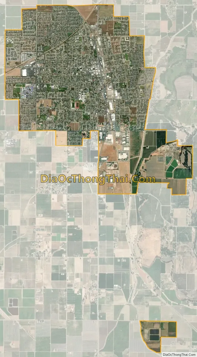
Sanger city Satellite Map
Geography
According to the United States Census Bureau, the city has a total area of 5.5 square miles (14 km), all land.
See also
Map of California State and its subdivision:- Alameda
- Alpine
- Amador
- Butte
- Calaveras
- Colusa
- Contra Costa
- Del Norte
- El Dorado
- Fresno
- Glenn
- Humboldt
- Imperial
- Inyo
- Kern
- Kings
- Lake
- Lassen
- Los Angeles
- Madera
- Marin
- Mariposa
- Mendocino
- Merced
- Modoc
- Mono
- Monterey
- Napa
- Nevada
- Orange
- Placer
- Plumas
- Riverside
- Sacramento
- San Benito
- San Bernardino
- San Diego
- San Francisco
- San Joaquin
- San Luis Obispo
- San Mateo
- Santa Barbara
- Santa Clara
- Santa Cruz
- Shasta
- Sierra
- Siskiyou
- Solano
- Sonoma
- Stanislaus
- Sutter
- Tehama
- Trinity
- Tulare
- Tuolumne
- Ventura
- Yolo
- Yuba
- Alabama
- Alaska
- Arizona
- Arkansas
- California
- Colorado
- Connecticut
- Delaware
- District of Columbia
- Florida
- Georgia
- Hawaii
- Idaho
- Illinois
- Indiana
- Iowa
- Kansas
- Kentucky
- Louisiana
- Maine
- Maryland
- Massachusetts
- Michigan
- Minnesota
- Mississippi
- Missouri
- Montana
- Nebraska
- Nevada
- New Hampshire
- New Jersey
- New Mexico
- New York
- North Carolina
- North Dakota
- Ohio
- Oklahoma
- Oregon
- Pennsylvania
- Rhode Island
- South Carolina
- South Dakota
- Tennessee
- Texas
- Utah
- Vermont
- Virginia
- Washington
- West Virginia
- Wisconsin
- Wyoming


