Saranap (until 1913, Dewing Park) is a residential census-designated place (CDP) within central Contra Costa County, California. Lying at an elevation of 180 feet (55 m), it is bounded on the south and east by portions of Walnut Creek (including the gated senior residential development Rossmoor) and on the north and west by Lafayette. Saranap’s ZIP code is 94595, but is addressed “Walnut Creek, CA” for delivery purposes as this is the postal designated city name used by residents. The community is in telephone area code 925. Saranap’s population as of the 2010 census was 5,202.
Saranap has had numerous opportunities to be annexed as either part of Lafayette, or of Walnut Creek. These have been largely resisted by the occupants, whose land use is governed by county rules. These include the ability to keep small aviaries and bees, which can be highly restricted by law in surrounding cities, and in newer neighborhoods by restrictive covenants. As the local school district is independent of these city boundaries, and some of the cities impose additional parcel taxes, residents have little incentive to change the status quo. Only a minor addition was made to Lafayette from Saranap in recent decades, adding only one more street and being largely motivated by marginally superior housing values associated with the city of Lafayette.
| Name: | Saranap CDP |
|---|---|
| LSAD Code: | 57 |
| LSAD Description: | CDP (suffix) |
| State: | California |
| County: | Contra Costa County |
| Elevation: | 180 ft (55 m) |
| Total Area: | 1.135 sq mi (2.939 km²) |
| Land Area: | 1.135 sq mi (2.939 km²) |
| Water Area: | 0 sq mi (0 km²) 0% |
| Total Population: | 5,202 |
| Population Density: | 4,600/sq mi (1,800/km²) |
| FIPS code: | 0670266 |
Online Interactive Map
Click on ![]() to view map in "full screen" mode.
to view map in "full screen" mode.
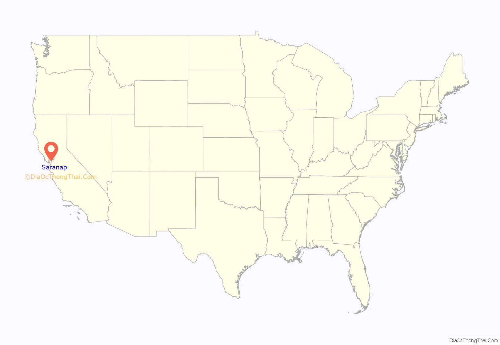
Saranap location map. Where is Saranap CDP?
Saranap Road Map
Saranap city Satellite Map
Geography
According to the United States Census Bureau, the CDP has a total area of 1.135 square miles (3 km), all of it land.
See also
Map of California State and its subdivision:- Alameda
- Alpine
- Amador
- Butte
- Calaveras
- Colusa
- Contra Costa
- Del Norte
- El Dorado
- Fresno
- Glenn
- Humboldt
- Imperial
- Inyo
- Kern
- Kings
- Lake
- Lassen
- Los Angeles
- Madera
- Marin
- Mariposa
- Mendocino
- Merced
- Modoc
- Mono
- Monterey
- Napa
- Nevada
- Orange
- Placer
- Plumas
- Riverside
- Sacramento
- San Benito
- San Bernardino
- San Diego
- San Francisco
- San Joaquin
- San Luis Obispo
- San Mateo
- Santa Barbara
- Santa Clara
- Santa Cruz
- Shasta
- Sierra
- Siskiyou
- Solano
- Sonoma
- Stanislaus
- Sutter
- Tehama
- Trinity
- Tulare
- Tuolumne
- Ventura
- Yolo
- Yuba
- Alabama
- Alaska
- Arizona
- Arkansas
- California
- Colorado
- Connecticut
- Delaware
- District of Columbia
- Florida
- Georgia
- Hawaii
- Idaho
- Illinois
- Indiana
- Iowa
- Kansas
- Kentucky
- Louisiana
- Maine
- Maryland
- Massachusetts
- Michigan
- Minnesota
- Mississippi
- Missouri
- Montana
- Nebraska
- Nevada
- New Hampshire
- New Jersey
- New Mexico
- New York
- North Carolina
- North Dakota
- Ohio
- Oklahoma
- Oregon
- Pennsylvania
- Rhode Island
- South Carolina
- South Dakota
- Tennessee
- Texas
- Utah
- Vermont
- Virginia
- Washington
- West Virginia
- Wisconsin
- Wyoming
