Sea Ranch is an unincorporated community in Sonoma County, California, United States that was developed as planned community beginning in the 1960s. It is known for its distinctive timber-frame structures designed by several noted American architects. The first unit built at Sea Ranch, Condominium 1, was placed on the National Register of Historic Places in 2005. The community’s development played a role in the establishment of the California Coastal Commission. The population was 1,305 at the 2010 census. For statistical purposes, the United States Census Bureau has defined Sea Ranch as a census-designated place (CDP).
| Name: | Sea Ranch CDP |
|---|---|
| LSAD Code: | 57 |
| LSAD Description: | CDP (suffix) |
| State: | California |
| County: | Sonoma County |
| Elevation: | 108 ft (33 m) |
| Total Area: | 16.180 sq mi (41.907 km²) |
| Land Area: | 16.138 sq mi (41.798 km²) |
| Water Area: | 0.042 sq mi (0.110 km²) 0.26% |
| Total Population: | 1,305 |
| Population Density: | 81/sq mi (31/km²) |
| ZIP code: | 95497 |
| Area code: | 707 |
| FIPS code: | 0670712 |
| Website: | www.tsra.org |
Online Interactive Map
Click on ![]() to view map in "full screen" mode.
to view map in "full screen" mode.
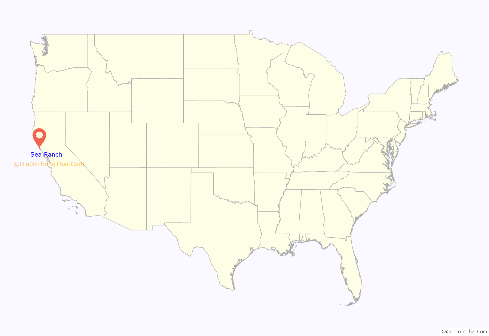
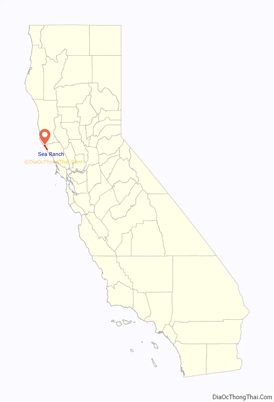
Sea Ranch location map. Where is Sea Ranch CDP?
History
The first people known to live in the area were Pomos, who gathered kelp and shellfish from the beaches.
In 1846, Ernest Rufus received the Rancho German Mexican land grant, which extended along the coastline from the Gualala River to Ocean Cove. The land was later divided. In the early 1900s, Walter P. Frick bought up the pieces to create Del Mar Ranch, which was leased out for raising sheep. In 1941, the land was sold to Margaret Ohlson and her family.
Architect and planner Al Boeke envisioned a community that would preserve the area’s natural beauty. Boeke first surveyed the land in 1962. In 1963, Oceanic California Inc., a division of Castle and Cooke Inc., purchased the land from the Ohlsons and assembled a design team. A progressive residential community was envisioned that would be built in a way that was not only in tune with nature, but driven by nature. Principal designers who were recruited by Boeke included American architects Charles Moore, Joseph Esherick, William Turnbull Jr., Donlyn Lyndon, Richard Whitaker and landscape architect Lawrence Halprin. Halprin created the master plan for Sea Ranch, which encompass 10 miles (16 km) of the Sonoma County coastline. The principal photographer for the project was the architectural photographer Morley Baer, a friend and colleague of both Turnbull and Halprin. Marion Conrad was hired to manage the public relations for The Sea Ranch. The logo for The Sea Ranch was designed by Barbara Stauffacher Solomon along with the Supergraphics.
Beach access dedication
While the County Board of Supervisors initially regarded the developer’s offer to dedicate 140 acres (0.57 km) for public parkland as sufficient, opponents felt more coastal access was necessary. The site, containing 10 miles (16 km) of shore, had been available to the public but would be reserved for private use under the developer’s plan. Areas below high tide were and would remain public property, but the plan provided no access through the development. In addition, California’s coast at the time was only open to the public along 100 of its 1,300 miles (2,100 km).
Californians Organized to Acquire Access to State Tidelands (COAST) was formed in response to this issue, and their 1968 county ballot initiative attempted to require the development to include public trails to the tidelands. While the initiative did not pass, the California legislature’s Dunlap Act did pass that year and required that new coastal development dedicate trails granting public access to the ocean. This episode led to the establishment of the Coastal Alliance, an organization of 100 groups similar to COAST, that placed Proposition 20 on the statewide 1972 ballot. The initiative passed, and it established the California Coastal Commission, which continues to regulate land use on the California coast.
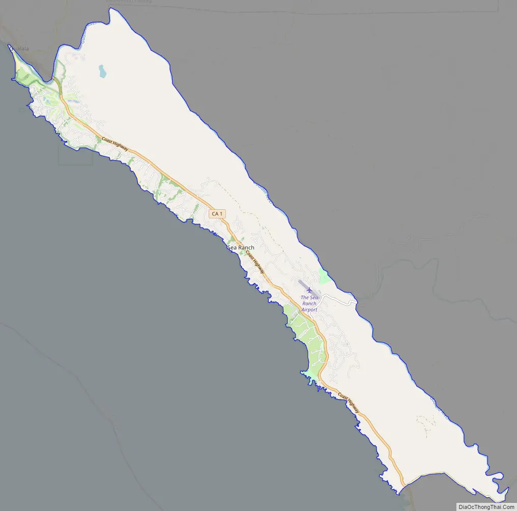
Sea Ranch Road Map
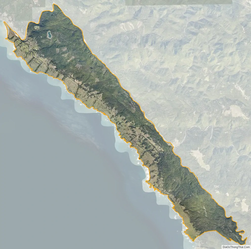
Sea Ranch city Satellite Map
Geography
The Sea Ranch is located along the Pacific Coast, about 100 mi (160 km) north of San Francisco and 120 mi (190 km) west of Sacramento. The Sea Ranch is reached by way of State Route 1.
About 4 mi (6 km) northwest of The Sea Ranch, in neighboring Mendocino County, is Gualala, a small town.
Climate
According to the Köppen Climate Classification system, Sea Ranch has a warm-summer Mediterranean climate, abbreviated “Csb” on climate maps.
See also
Map of California State and its subdivision:- Alameda
- Alpine
- Amador
- Butte
- Calaveras
- Colusa
- Contra Costa
- Del Norte
- El Dorado
- Fresno
- Glenn
- Humboldt
- Imperial
- Inyo
- Kern
- Kings
- Lake
- Lassen
- Los Angeles
- Madera
- Marin
- Mariposa
- Mendocino
- Merced
- Modoc
- Mono
- Monterey
- Napa
- Nevada
- Orange
- Placer
- Plumas
- Riverside
- Sacramento
- San Benito
- San Bernardino
- San Diego
- San Francisco
- San Joaquin
- San Luis Obispo
- San Mateo
- Santa Barbara
- Santa Clara
- Santa Cruz
- Shasta
- Sierra
- Siskiyou
- Solano
- Sonoma
- Stanislaus
- Sutter
- Tehama
- Trinity
- Tulare
- Tuolumne
- Ventura
- Yolo
- Yuba
- Alabama
- Alaska
- Arizona
- Arkansas
- California
- Colorado
- Connecticut
- Delaware
- District of Columbia
- Florida
- Georgia
- Hawaii
- Idaho
- Illinois
- Indiana
- Iowa
- Kansas
- Kentucky
- Louisiana
- Maine
- Maryland
- Massachusetts
- Michigan
- Minnesota
- Mississippi
- Missouri
- Montana
- Nebraska
- Nevada
- New Hampshire
- New Jersey
- New Mexico
- New York
- North Carolina
- North Dakota
- Ohio
- Oklahoma
- Oregon
- Pennsylvania
- Rhode Island
- South Carolina
- South Dakota
- Tennessee
- Texas
- Utah
- Vermont
- Virginia
- Washington
- West Virginia
- Wisconsin
- Wyoming


