Soledad is a city in Monterey County, California, United States. It is in the Salinas Valley, 21 miles (34 km) southeast of Salinas, the county seat. Soledad’s population was 24,925 at the 2020 census, down from 25,738 in 2010. Soledad’s origins started with Mission Nuestra Señora de la Soledad, founded by the Spanish in 1791, under the leadership of Fermín de Lasuén. Catalina Munrás began developing the town of Soledad on her Rancho San Vicente in the 1860s, which eventually incorporated as a city in 1921. Today, Soledad is a notable tourist destination, owing to the heavily restored mission, its proximity to Pinnacles National Park, and its numerous vineyards, as part of the Monterey wine region.
| Name: | Soledad city |
|---|---|
| LSAD Code: | 25 |
| LSAD Description: | city (suffix) |
| State: | California |
| County: | Monterey County |
| Incorporated: | March 9, 1921 |
| Elevation: | 190 ft (58 m) |
| Total Area: | 4.65 sq mi (12.0 km²) |
| Land Area: | 4.46 sq mi (11.6 km²) |
| Water Area: | 0.19 sq mi (0.5 km²) 4.09% |
| Total Population: | 24,925 |
| Population Density: | 5,588.6/sq mi (2,157.8/km²) |
| ZIP code: | 93960 |
| Area code: | 831 |
| FIPS code: | 0672520 |
| Website: | cityofsoledad.com |
Online Interactive Map
Click on ![]() to view map in "full screen" mode.
to view map in "full screen" mode.
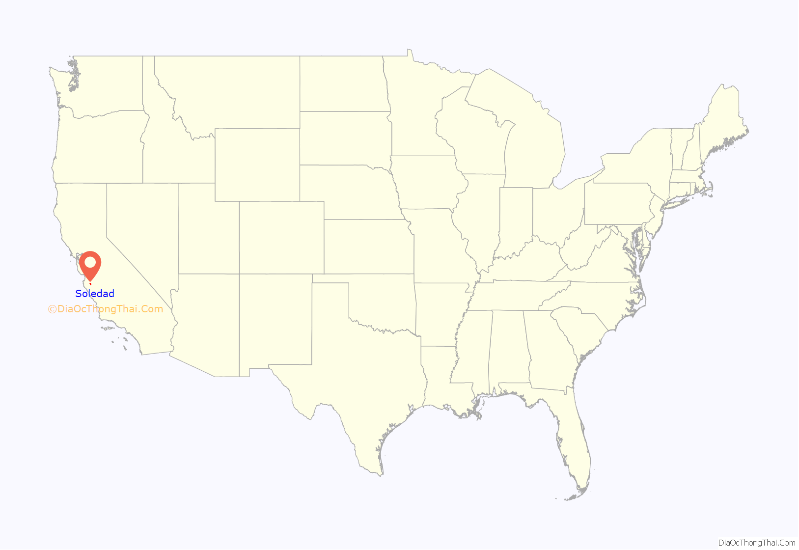
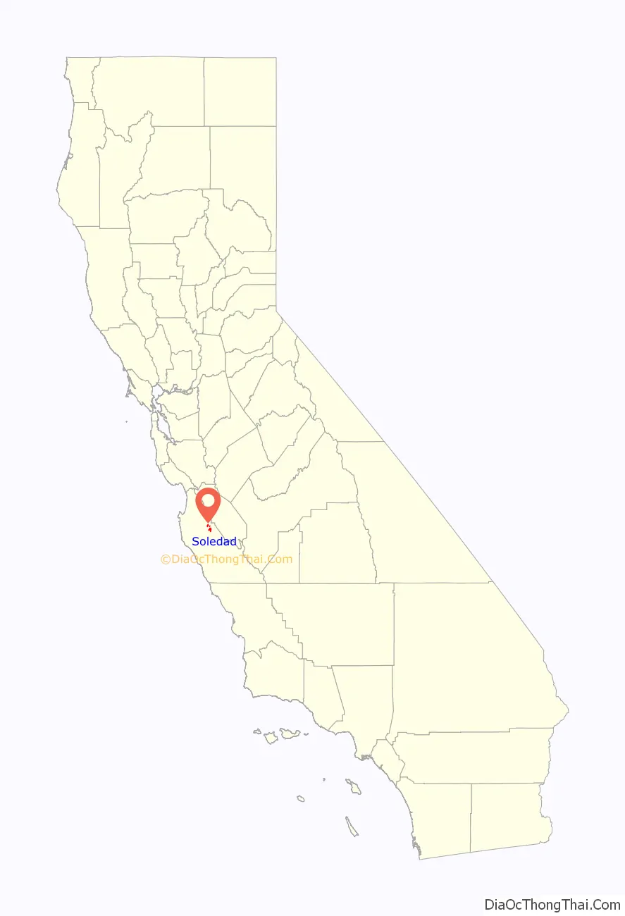
Soledad location map. Where is Soledad city?
History
The Chalon tribe of the Ohlone nation of indigenous Californians have inhabited the area around Soledad for thousands of years. The Paraíso Hot Springs, west of Soledad, had long been used by the Chalon.
Soledad’s history as a settlement began in 1791, when the Spanish founded Mission Nuestra Señora de la Soledad, under the leadership of Padre Fermín de Lasuén. Alongside the Spanish and the Chalon, the Esselen and Yokuts people eventually came to reside in Soledad as well. However, unlike many other missions in California, Soledad did not initially develop into a town outside of the mission.
Noted artist Esteban Munrás came to the area in the 1820s, along with his wife Catalina Munrás. He was granted Rancho San Vicente in 1835 by Governor José Castro, although he and his family resided in Monterey until his death in 1850. On his deathbed, Munrás told his dying wishes to his wife Catalina: that she should not sell Rancho San Vicente, but instead hold on to it and develop a town there when the right time came.
Catalina Munrás began to subdivide the rancho and develop a town in the 1860s, and donated land for the construction of a school, a church, and a cemetery. She later granted the right-of-way to the Southern Pacific Railroad in 1872, which established a station in Soledad, allowing the town to emerge as an agricultural center.
Los Coches Adobe, built in the 1840s, became a popular stopover for people traveling on Southern Pacific trains between Los Angeles and San Francisco.
The Soledad post office opened in 1869. The Township of Soledad was created on February 6, 1876, by the Board of Supervisors of Monterey County, upgrading the settlement to an official town. In 1921, Soledad incorporated as a city.
In 1898 Fort Romie was founded just west of Soledad, but is today part of the community of Soledad. In the early 1900s, the Paraíso Hot Springs became a popular resort for travelers on Southern Pacific trains.
Soledad is used as a backdrop in John Steinbeck’s 1937 novel Of Mice and Men, a novella about the friendship of two men who find work on a farm in the Salinas Valley.
Soledad Road Map
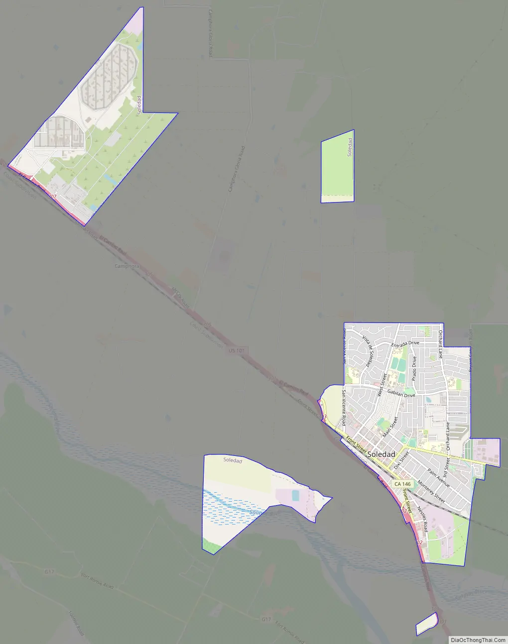
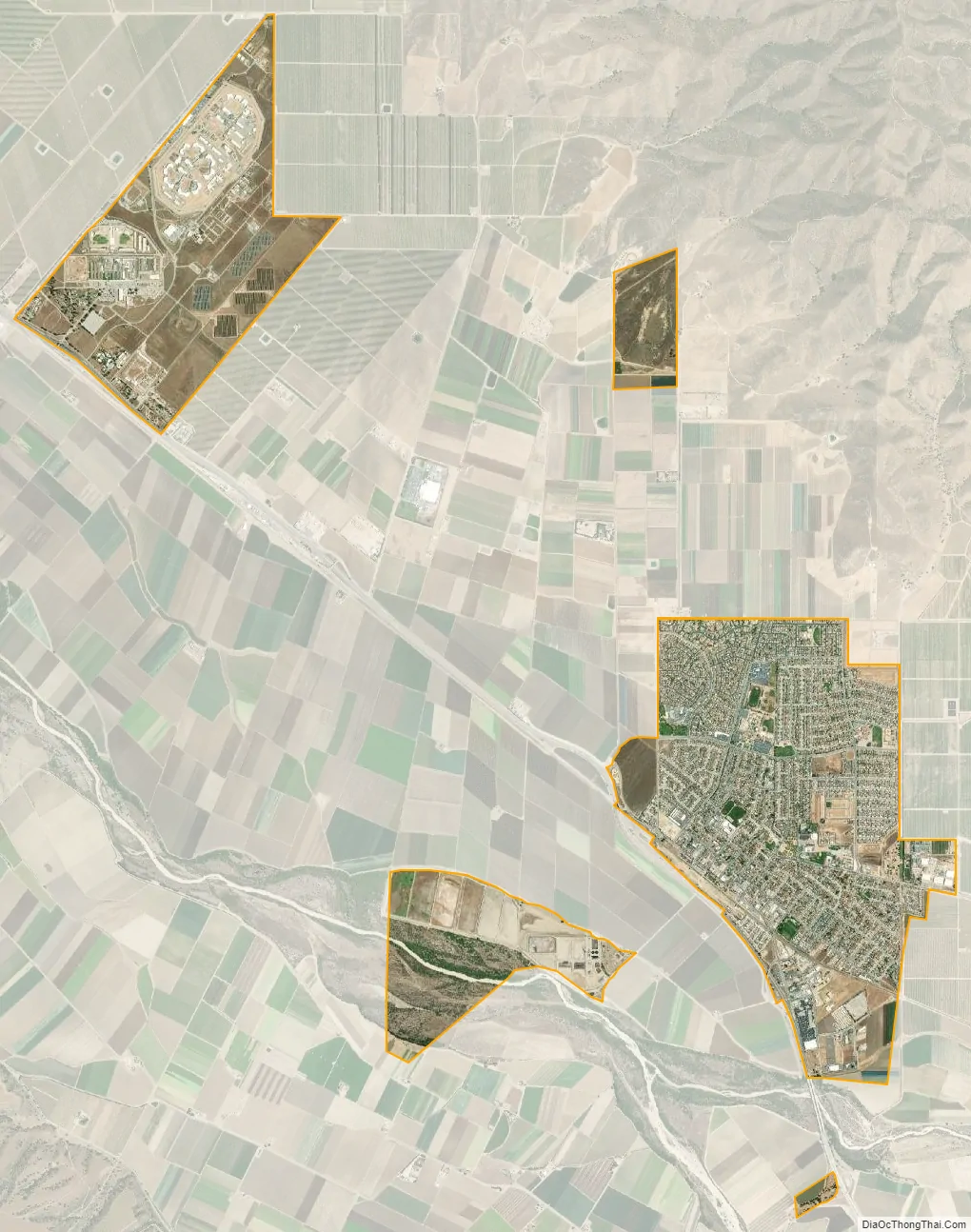
Soledad city Satellite Map
Geography
Soledad is located in central Monterey County at 36°25′29″N 121°19′35″W / 36.42472°N 121.32639°W / 36.42472; -121.32639. It is 8 miles (13 km) southeast of Gonzales and 9 miles (14 km) northwest of Greenfield, both via U.S. Route 101.
According to the United States Census Bureau, the city has a total area of 4.65 square miles (12.0 km), of which 4.46 square miles (11.6 km) are land and 0.19 square miles (0.49 km), or 4.09%, are water. The Salinas River flows to the northwest past the southernmost part of the city.
Soledad is 10 miles (16 km) by road southwest of Pinnacles National Park, nestled among the nearby Gabilan Range.
Climate
This region experiences warm (but not hot) and dry summers, with no average monthly temperatures above 71.6 °F. According to the Köppen Climate Classification system, Soledad has a warm-summer Mediterranean climate, abbreviated “Csb” on climate maps.
Recreation
- Pinnacles National Park
- Arroyo Seco AVA
See also
Map of California State and its subdivision:- Alameda
- Alpine
- Amador
- Butte
- Calaveras
- Colusa
- Contra Costa
- Del Norte
- El Dorado
- Fresno
- Glenn
- Humboldt
- Imperial
- Inyo
- Kern
- Kings
- Lake
- Lassen
- Los Angeles
- Madera
- Marin
- Mariposa
- Mendocino
- Merced
- Modoc
- Mono
- Monterey
- Napa
- Nevada
- Orange
- Placer
- Plumas
- Riverside
- Sacramento
- San Benito
- San Bernardino
- San Diego
- San Francisco
- San Joaquin
- San Luis Obispo
- San Mateo
- Santa Barbara
- Santa Clara
- Santa Cruz
- Shasta
- Sierra
- Siskiyou
- Solano
- Sonoma
- Stanislaus
- Sutter
- Tehama
- Trinity
- Tulare
- Tuolumne
- Ventura
- Yolo
- Yuba
- Alabama
- Alaska
- Arizona
- Arkansas
- California
- Colorado
- Connecticut
- Delaware
- District of Columbia
- Florida
- Georgia
- Hawaii
- Idaho
- Illinois
- Indiana
- Iowa
- Kansas
- Kentucky
- Louisiana
- Maine
- Maryland
- Massachusetts
- Michigan
- Minnesota
- Mississippi
- Missouri
- Montana
- Nebraska
- Nevada
- New Hampshire
- New Jersey
- New Mexico
- New York
- North Carolina
- North Dakota
- Ohio
- Oklahoma
- Oregon
- Pennsylvania
- Rhode Island
- South Carolina
- South Dakota
- Tennessee
- Texas
- Utah
- Vermont
- Virginia
- Washington
- West Virginia
- Wisconsin
- Wyoming


