South Gate is the 19th largest city in Los Angeles County, California, United States, with 7.4 square miles (19 km). South Gate is located 7 miles (11 km) southeast of Downtown Los Angeles. It is part of the Gateway Cities region of southeastern Los Angeles County.
The city was incorporated on January 20, 1923, and it became known as the “Azalea City” when it adopted the flower as its symbol in 1965. As of the 2020 census, the city had a population of 92,726.
In 1990, South Gate was one of ten U.S. communities to receive the All-America City Award from the National Civic League.
| Name: | South Gate city |
|---|---|
| LSAD Code: | 25 |
| LSAD Description: | city (suffix) |
| State: | California |
| County: | Los Angeles County |
| Incorporated: | January 20, 1923 |
| Elevation: | 115 ft (35 m) |
| Total Area: | 7.35 sq mi (19.04 km²) |
| Land Area: | 7.24 sq mi (18.74 km²) |
| Water Area: | 0.12 sq mi (0.30 km²) 1.59% |
| Total Population: | 92,726 |
| Population Density: | 13,000/sq mi (4,900/km²) |
| ZIP code: | 90280 |
| Area code: | 323/ 562 |
| FIPS code: | 0673080 |
| GNISfeature ID: | 1652795 |
| Website: | www.cityofsouthgate.org |
Online Interactive Map
Click on ![]() to view map in "full screen" mode.
to view map in "full screen" mode.
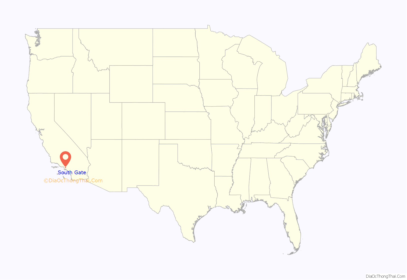
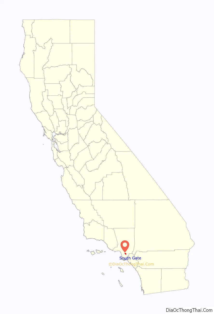
South Gate location map. Where is South Gate city?
History
Native Americans
South Gate was in the traditional cultural territory of the Gabrielino. Gabrielino villages or archaeological sites are rumored to have existed at the South Gate Park and at the old City Hall site at the intersection of Post Street and Victoria Avenue. The village of Tajauta was located on the border of South Gate, Lynwood, and Watts.
Land grants
Among the early Spanish settlers was one of California’s first families, the Lugos. The Lugo land grant encompassed a great part of what is now the City of South Gate.
While Francisco Lugo was stationed at Mission San Antonio de Padua near Salinas, California, his first California son, Antonio Maria Lugo was born in 1775. That son became Don Antonio Maria Lugo, Spanish aristocrat and soldier, who settled on 30,000 acres (120 km) of land that encompasses what is now the City of South Gate. In 1810, the King of Spain formally granted the land to Lugo as a reward for his and his father’s military service. Rancho San Antonio extended from the low range of hills which separated it from the San Gabriel Valley to the old Dominguez Ranch at its south, and from the eastern boundary of the pueblo of Los Angeles to the San Gabriel River. Around a century later, the area around the southern gate of the ranch became the City of South Gate.
Development
Before the end of the 1870s, much of the original land grant had been replaced by tracts of 40-acre (160,000 m). By 1880, cattle raising had been replaced by agriculture as the most important local industry. During the years between 1910 and 1940, most of the agricultural land was replaced by homes and factories. Early developers accelerated the suburbanization of what was then called South Gate Gardens by subdividing the land into small plots and selling the empty plots to blue-collar workers. A majority of early homes were built individually as plot owners used “sweat equity rather than cash to construct their own homes” and the local economy relied heavily on urban agriculture.
Tweedy family
R.D. Tweedy was born in 1812 in Illinois and came to California by ox-drawn cart in 1852. The family was large, and several generations have lived in this city. The family members bought some 2,000 acres (8.1 km) of the land on which much of South Gate was built. The downtown business district is known as the Tweedy Mile.
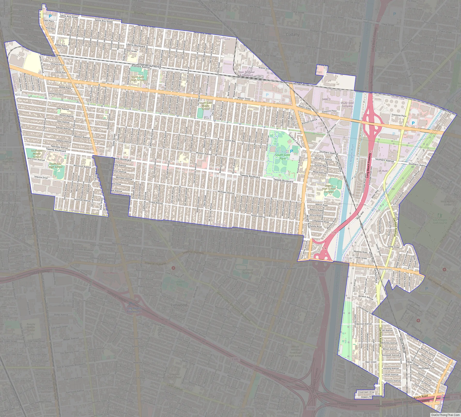
South Gate Road Map
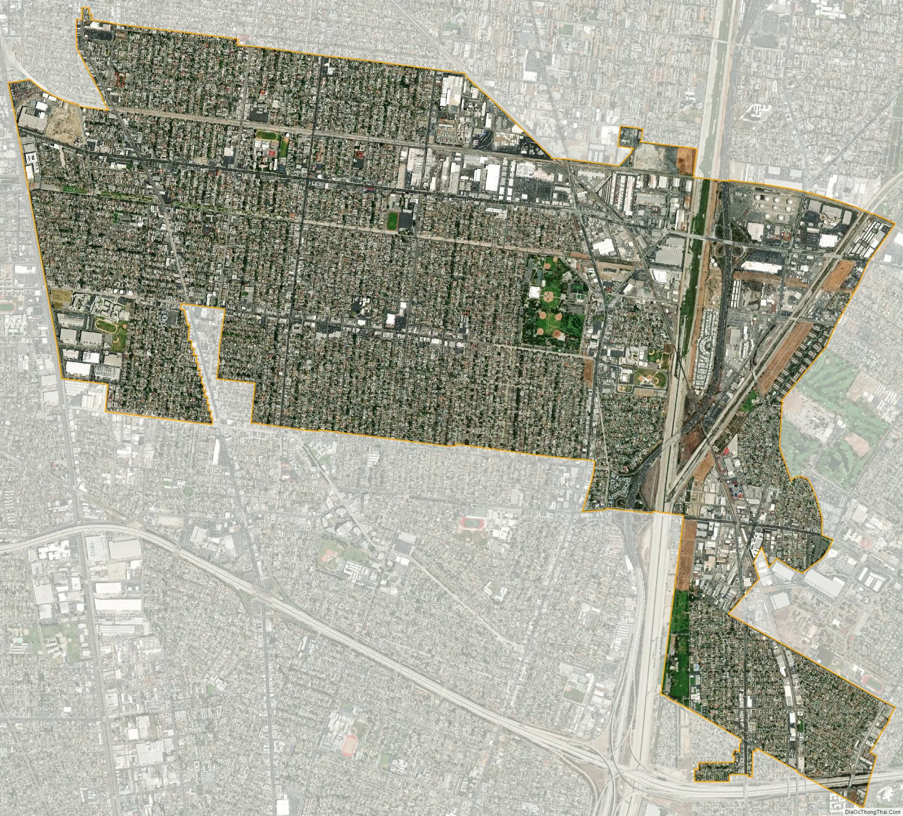
South Gate city Satellite Map
Geography
According to the United States Census Bureau, the city has a total area of 7.4 square miles (19 km). 7.2 square miles (19 km) of it is land and 0.1 square miles (0.26 km) of it is water. The total area is 1.59% water.
The Los Angeles River runs through the eastern part of South Gate.
South Gate has a semi-arid Mediterranean climate with mild winters and hot, dry summers. The average annual precipitation is 14.8 inches (380 mm) per year with most occurring between November and April. Temperatures range from a low of 40 °F (4 °C) to a high of 110 °F (43 °C). The average daily temperatures range from 54 °F (12 °C) to 73 °F (23 °C).
See also
Map of California State and its subdivision:- Alameda
- Alpine
- Amador
- Butte
- Calaveras
- Colusa
- Contra Costa
- Del Norte
- El Dorado
- Fresno
- Glenn
- Humboldt
- Imperial
- Inyo
- Kern
- Kings
- Lake
- Lassen
- Los Angeles
- Madera
- Marin
- Mariposa
- Mendocino
- Merced
- Modoc
- Mono
- Monterey
- Napa
- Nevada
- Orange
- Placer
- Plumas
- Riverside
- Sacramento
- San Benito
- San Bernardino
- San Diego
- San Francisco
- San Joaquin
- San Luis Obispo
- San Mateo
- Santa Barbara
- Santa Clara
- Santa Cruz
- Shasta
- Sierra
- Siskiyou
- Solano
- Sonoma
- Stanislaus
- Sutter
- Tehama
- Trinity
- Tulare
- Tuolumne
- Ventura
- Yolo
- Yuba
- Alabama
- Alaska
- Arizona
- Arkansas
- California
- Colorado
- Connecticut
- Delaware
- District of Columbia
- Florida
- Georgia
- Hawaii
- Idaho
- Illinois
- Indiana
- Iowa
- Kansas
- Kentucky
- Louisiana
- Maine
- Maryland
- Massachusetts
- Michigan
- Minnesota
- Mississippi
- Missouri
- Montana
- Nebraska
- Nevada
- New Hampshire
- New Jersey
- New Mexico
- New York
- North Carolina
- North Dakota
- Ohio
- Oklahoma
- Oregon
- Pennsylvania
- Rhode Island
- South Carolina
- South Dakota
- Tennessee
- Texas
- Utah
- Vermont
- Virginia
- Washington
- West Virginia
- Wisconsin
- Wyoming


