Stanford is a census-designated place (CDP) in the northwest corner of Santa Clara County, California, United States. It is the home of Stanford University. The population was 21,150 at the 2020 census.
Stanford is an unincorporated area of Santa Clara County and is adjacent to the city of Palo Alto.
The place is named after Stanford University. Most of the Stanford University campus and other core University owned land is situated within the census-designated place of Stanford though the Stanford University Medical Center, the Stanford Shopping Center, and the Stanford Research Park are officially part of the city of Palo Alto. Its resident population consists of the inhabitants of on-campus housing, including graduate student residences and single-family homes and condominiums owned by their faculty inhabitants but located on leased Stanford land. A residential neighborhood adjacent to the Stanford campus, College Terrace, featuring streets named after universities and colleges, is neither part of the Stanford CDP nor owned by the University (except for a few individual houses) but is instead part of Palo Alto.
| Name: | Stanford CDP |
|---|---|
| LSAD Code: | 57 |
| LSAD Description: | CDP (suffix) |
| State: | California |
| County: | Santa Clara County |
| Elevation: | 95 ft (29 m) |
| Total Area: | 2.776 sq mi (7.190 km²) |
| Land Area: | 2.731 sq mi (7.072 km²) |
| Water Area: | 0.045 sq mi (0.118 km²) 1.64% |
| Total Population: | 21,150 |
| Population Density: | 7,600/sq mi (2,900/km²) |
| Area code: | 650 |
| FIPS code: | 0673906 |
Online Interactive Map
Click on ![]() to view map in "full screen" mode.
to view map in "full screen" mode.
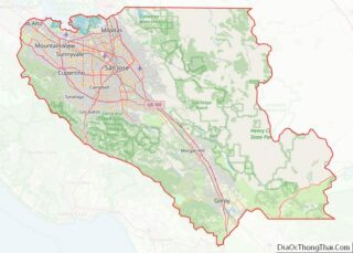
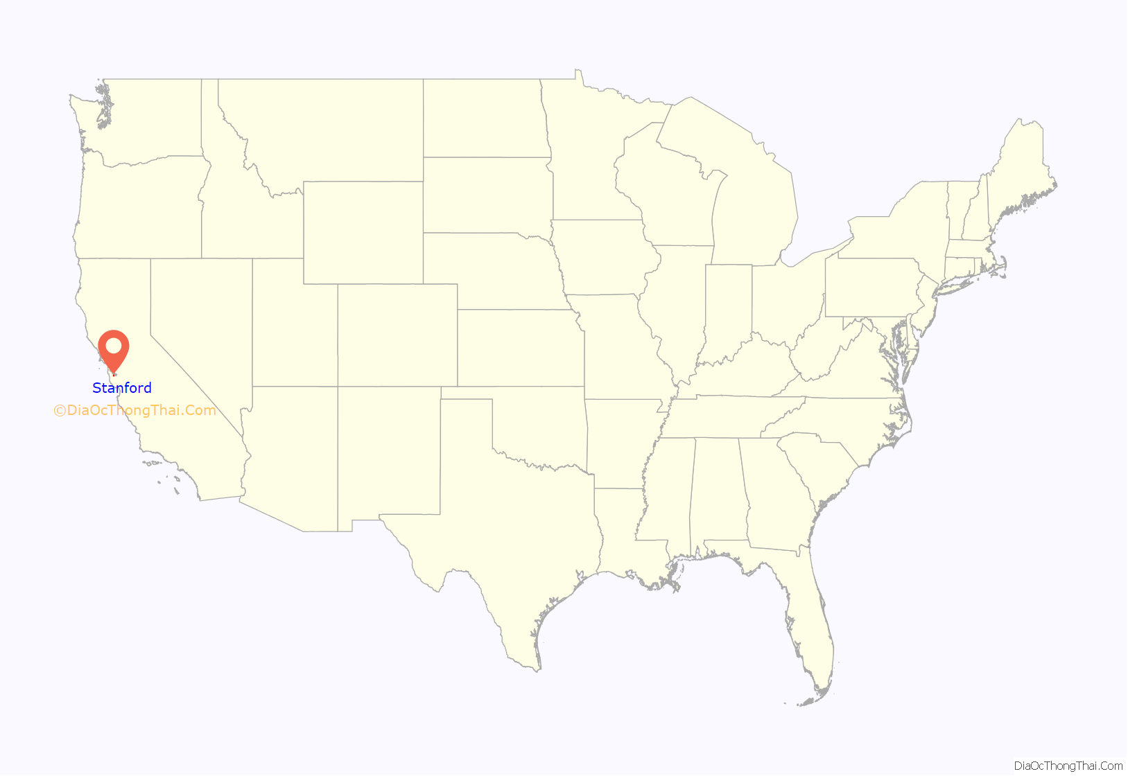
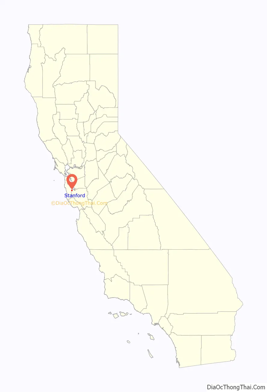
Stanford location map. Where is Stanford CDP?
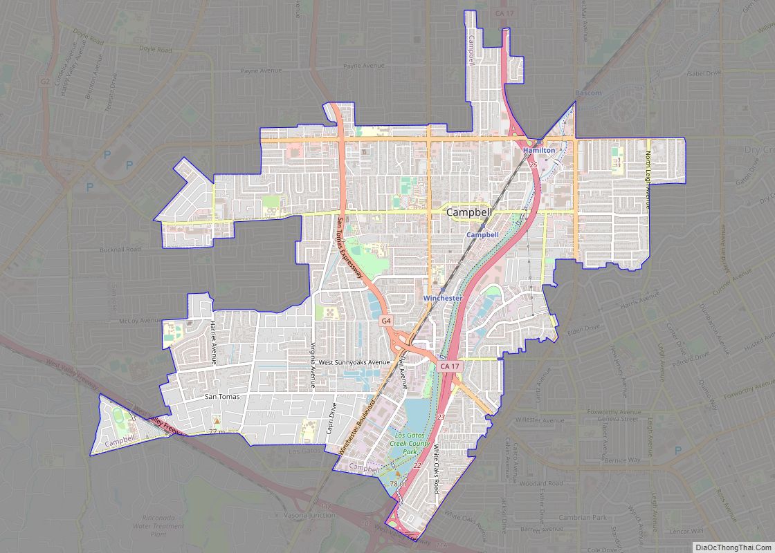
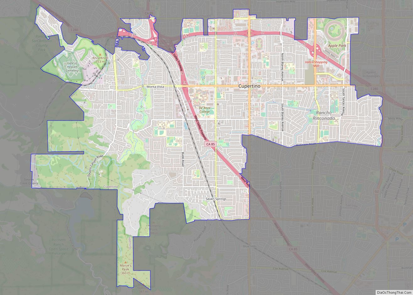
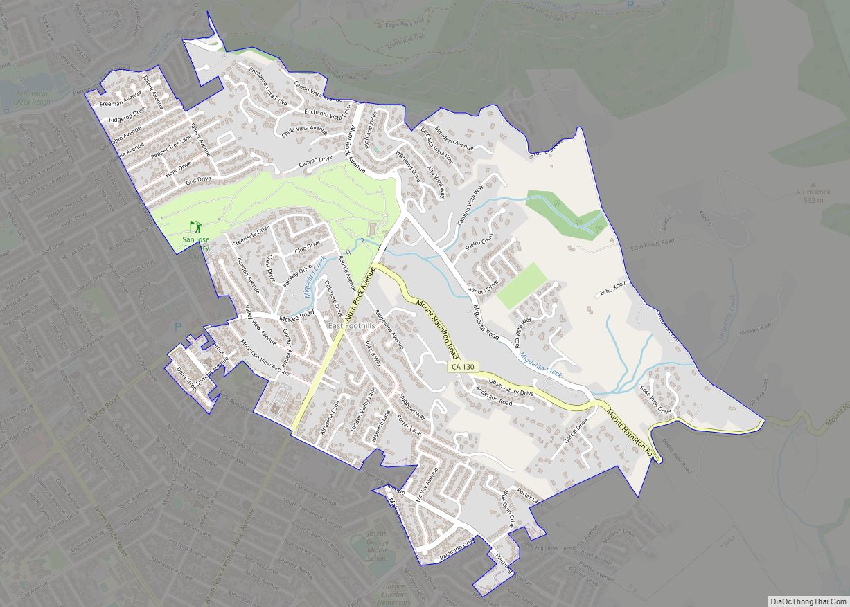
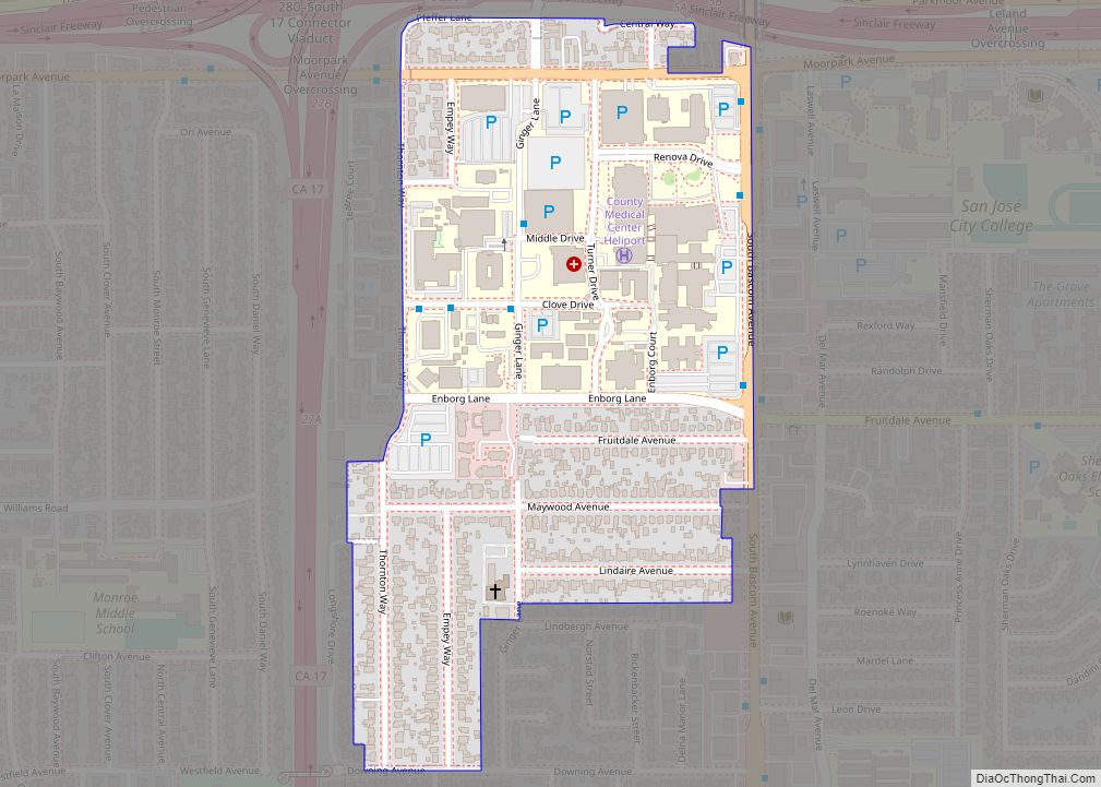
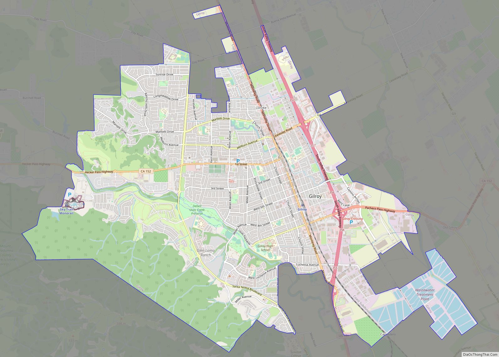
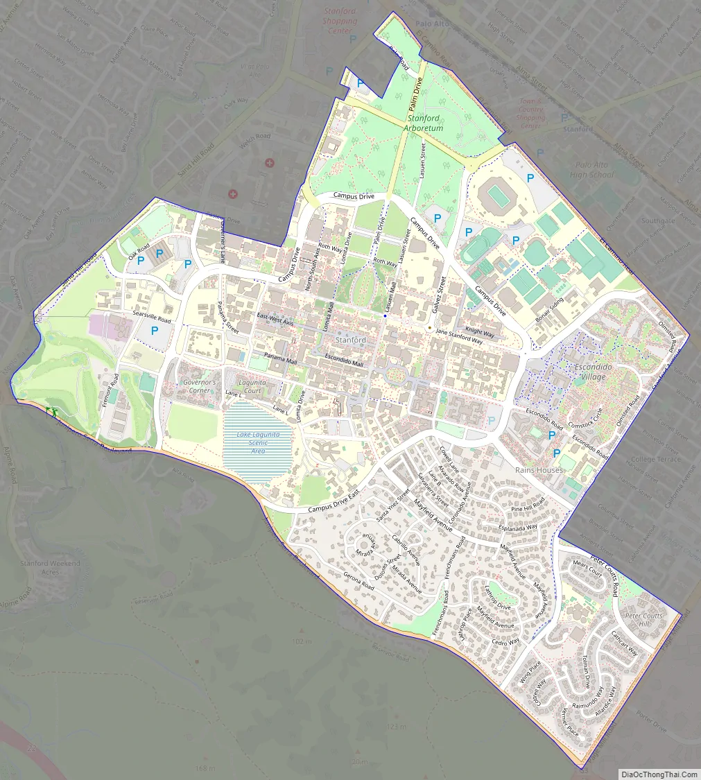
Stanford Road Map
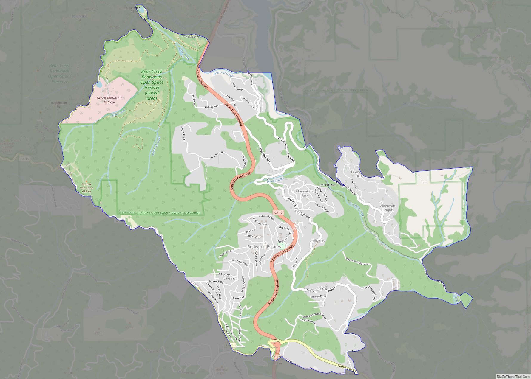
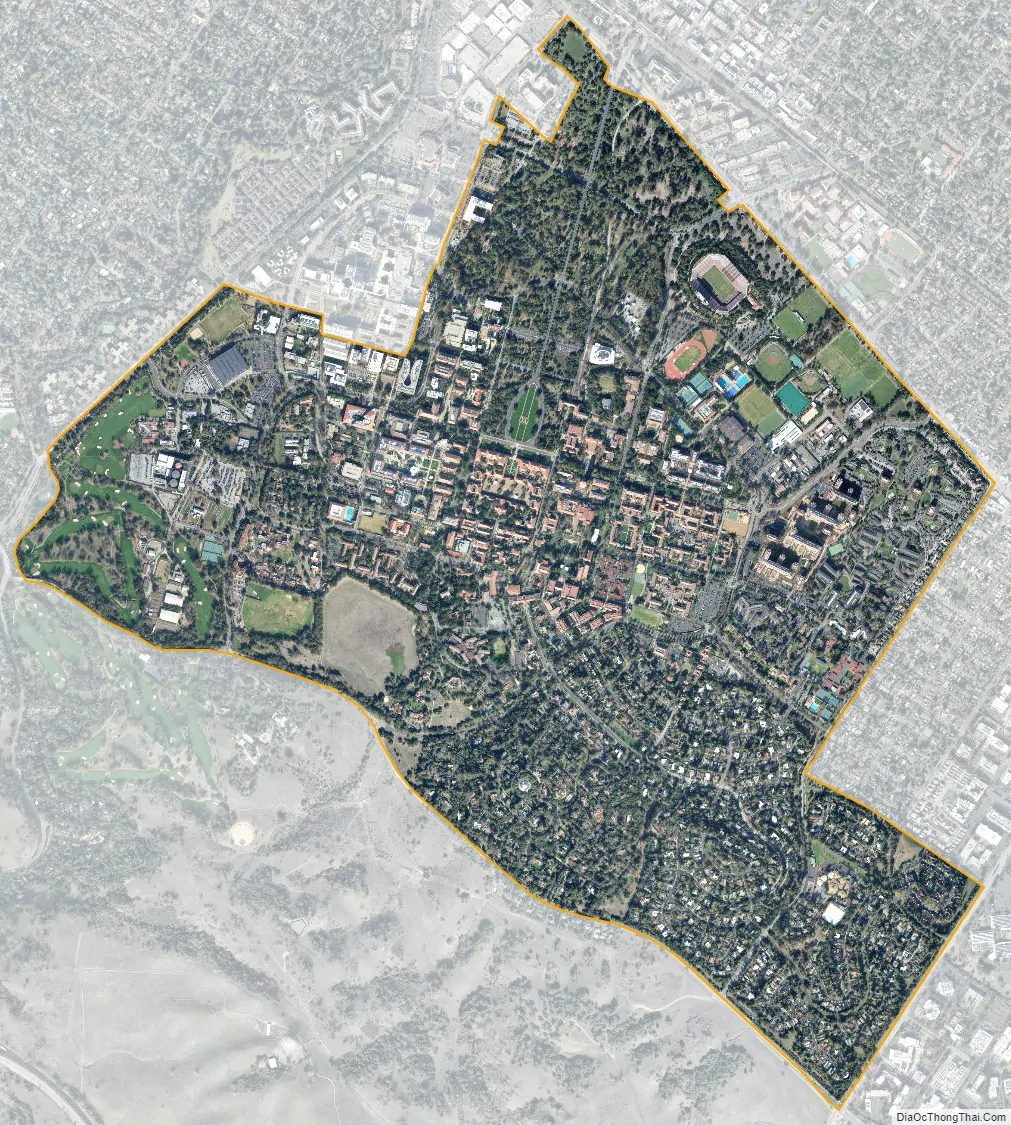
Stanford city Satellite Map
Geography
Stanford is located at 37°25′21″N 122°9′55″W / 37.42250°N 122.16528°W / 37.42250; -122.16528 (37.422590, −122.165413).
According to the United States Census Bureau, the CDP has a total area of 2.8 square miles (7.3 km), of which, 2.7 square miles (7.0 km) is land and 0.045 square miles (0.12 km) (1.64%) is water.
Climate
This region experiences warm, dry summers, with no average monthly temperatures above 77.6 °F (25.3 °C), and cool, wet winters, with no average monthly temperatures below 37.7 °F (3.2 °C). According to the Köppen Climate Classification system, Stanford has a warm-summer Mediterranean climate, abbreviated “Csb” on climate maps.
See also
Map of California State and its subdivision:- Alameda
- Alpine
- Amador
- Butte
- Calaveras
- Colusa
- Contra Costa
- Del Norte
- El Dorado
- Fresno
- Glenn
- Humboldt
- Imperial
- Inyo
- Kern
- Kings
- Lake
- Lassen
- Los Angeles
- Madera
- Marin
- Mariposa
- Mendocino
- Merced
- Modoc
- Mono
- Monterey
- Napa
- Nevada
- Orange
- Placer
- Plumas
- Riverside
- Sacramento
- San Benito
- San Bernardino
- San Diego
- San Francisco
- San Joaquin
- San Luis Obispo
- San Mateo
- Santa Barbara
- Santa Clara
- Santa Cruz
- Shasta
- Sierra
- Siskiyou
- Solano
- Sonoma
- Stanislaus
- Sutter
- Tehama
- Trinity
- Tulare
- Tuolumne
- Ventura
- Yolo
- Yuba
- Alabama
- Alaska
- Arizona
- Arkansas
- California
- Colorado
- Connecticut
- Delaware
- District of Columbia
- Florida
- Georgia
- Hawaii
- Idaho
- Illinois
- Indiana
- Iowa
- Kansas
- Kentucky
- Louisiana
- Maine
- Maryland
- Massachusetts
- Michigan
- Minnesota
- Mississippi
- Missouri
- Montana
- Nebraska
- Nevada
- New Hampshire
- New Jersey
- New Mexico
- New York
- North Carolina
- North Dakota
- Ohio
- Oklahoma
- Oregon
- Pennsylvania
- Rhode Island
- South Carolina
- South Dakota
- Tennessee
- Texas
- Utah
- Vermont
- Virginia
- Washington
- West Virginia
- Wisconsin
- Wyoming