Tehama (Wintun for “high water”) is a city in Tehama County, California, United States. The population was 418 at the 2010 census, down from 432 at the 2000 census.
| Name: | Tehama city |
|---|---|
| LSAD Code: | 25 |
| LSAD Description: | city (suffix) |
| State: | California |
| County: | Tehama County |
| Incorporated: | July 5, 1906 |
| Elevation: | 210 ft (64 m) |
| Total Area: | 0.79 sq mi (2.06 km²) |
| Land Area: | 0.79 sq mi (2.06 km²) |
| Water Area: | 0.00 sq mi (0.00 km²) 0% |
| Total Population: | 435 |
| Population Density: | 469.77/sq mi (181.31/km²) |
| ZIP code: | 96090 |
| Area code: | 530 |
| FIPS code: | 0678106 |
| GNISfeature ID: | 1659964 |
| Website: | cityoftehama.us |
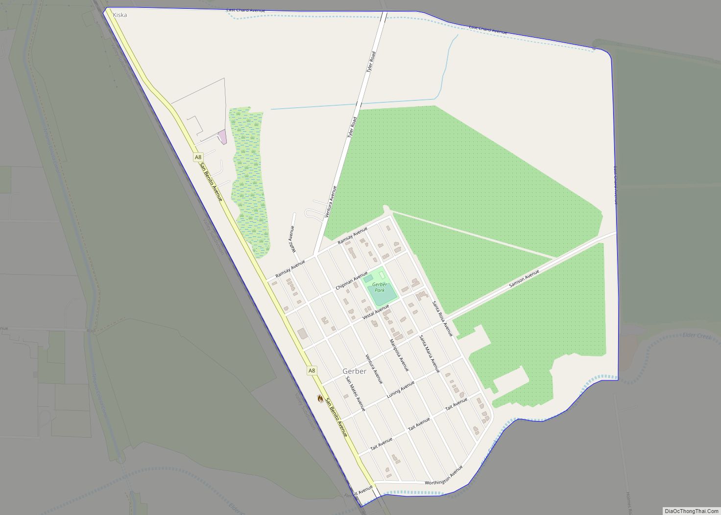
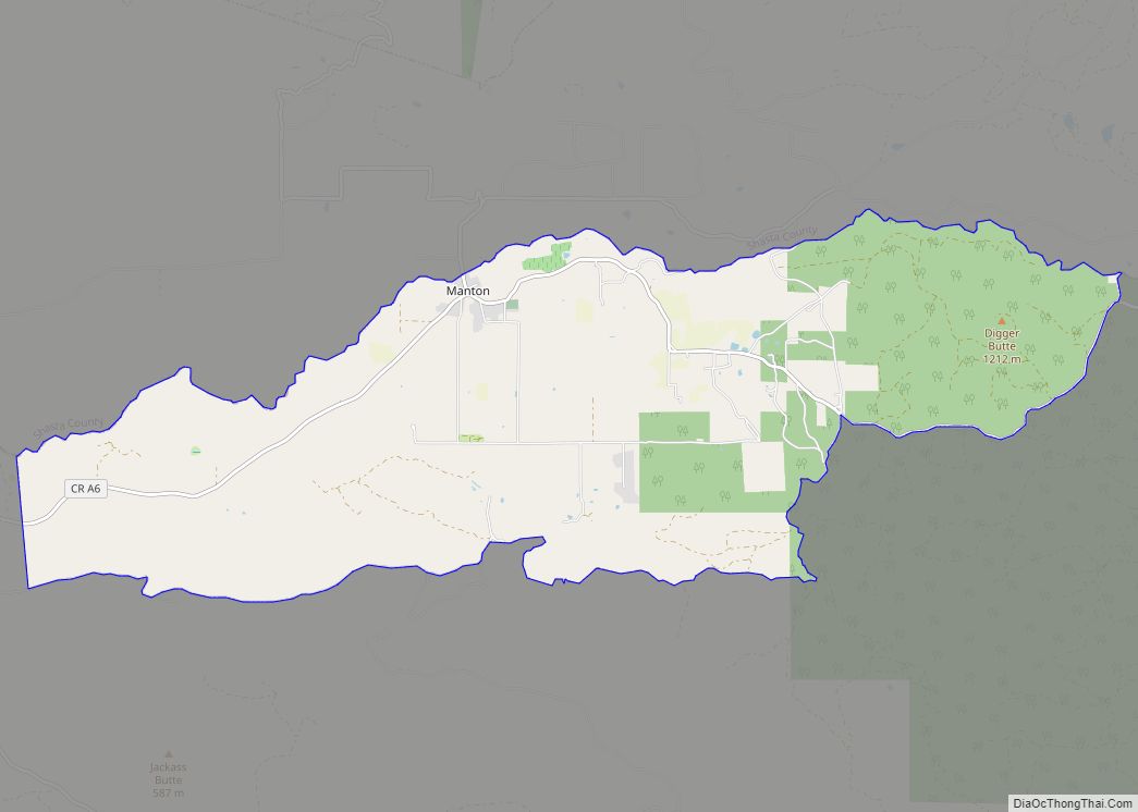
Online Interactive Map
Click on ![]() to view map in "full screen" mode.
to view map in "full screen" mode.
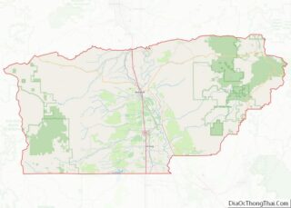
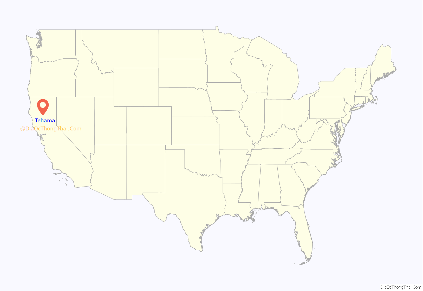
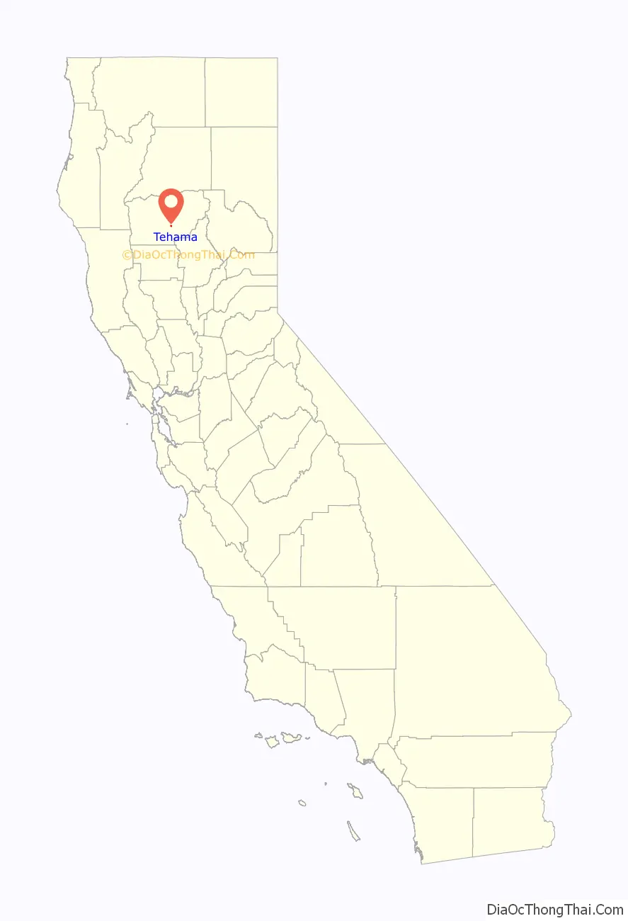
Tehama location map. Where is Tehama city?
History
A Nomlaki village of Wintun people once stood on the site of modern-day Tehama on the western bank of the Sacramento River.
Tehama (pronounced Tuh-HAY-muh) was founded by Robert Hasty Thomes, who arrived in the area that is now Tehama County in the company of Albert G. Toomes, William Chard, and Job Francis Dye. The four men travelled northward from San Francisco, and were each given land grants from the government of Mexico in 1844, with Thomes’ portion being Rancho Saucos.
Tehama was one of the earliest California settlements north of Sacramento. Thomes mapped out the city in 1850, with First through Fifth Streets running north–south, and B through I Streets running east–west. First Street no longer exists; it was eroded away by the river. It was the last stop for the riverboats for a few years, and the town thrived on the riverboat traffic. When the boats started going farther up the river, Red Bluff became the center of trade. When Tehama County was formed in 1856, Tehama was established as the County Seat. However, the seat was moved to Red Bluff, by county-wide election, the very next year, although various local stories have circulated about how Red Bluff “stole” its county seat status from Tehama.
Tehama had a reputation of being somewhat more liberal and freewheeling than the rest of the county, being the last town to go “dry” before Prohibition, and a center for bootleggers and gamblers.
Tehama’s population peaked in the 1890s, at about 2000 residents, including a sizable Chinese quarter. The city was incorporated in 1906 when plans were being made for an electric railway through the Sacramento Valley, however the railway was never built. A disastrous fire in 1908 combined with the decline of the riverboat traffic, caused the city to gradually lose prominence and population. The last businesses, a mini-mart and a bar, closed in the 1990s. However, the bar was re-opened as the Tehama Pub and Grill in August 2010; the new owners Ron and Susie Sullivan, from Oroville, California remodeled the building. The Pub serves burgers, bratwurst and beer, and wine. The mini-mart was re-opened by an Asian Indian family who renovate old stores. There was a gift shop that opened in 2008 and closed in 2009. The Barbecue To Go food stop, mini-mart and bar remain open. There are many in-home businesses owned by the residents. The town’s riverside homes are some of the most desirable properties in the county.
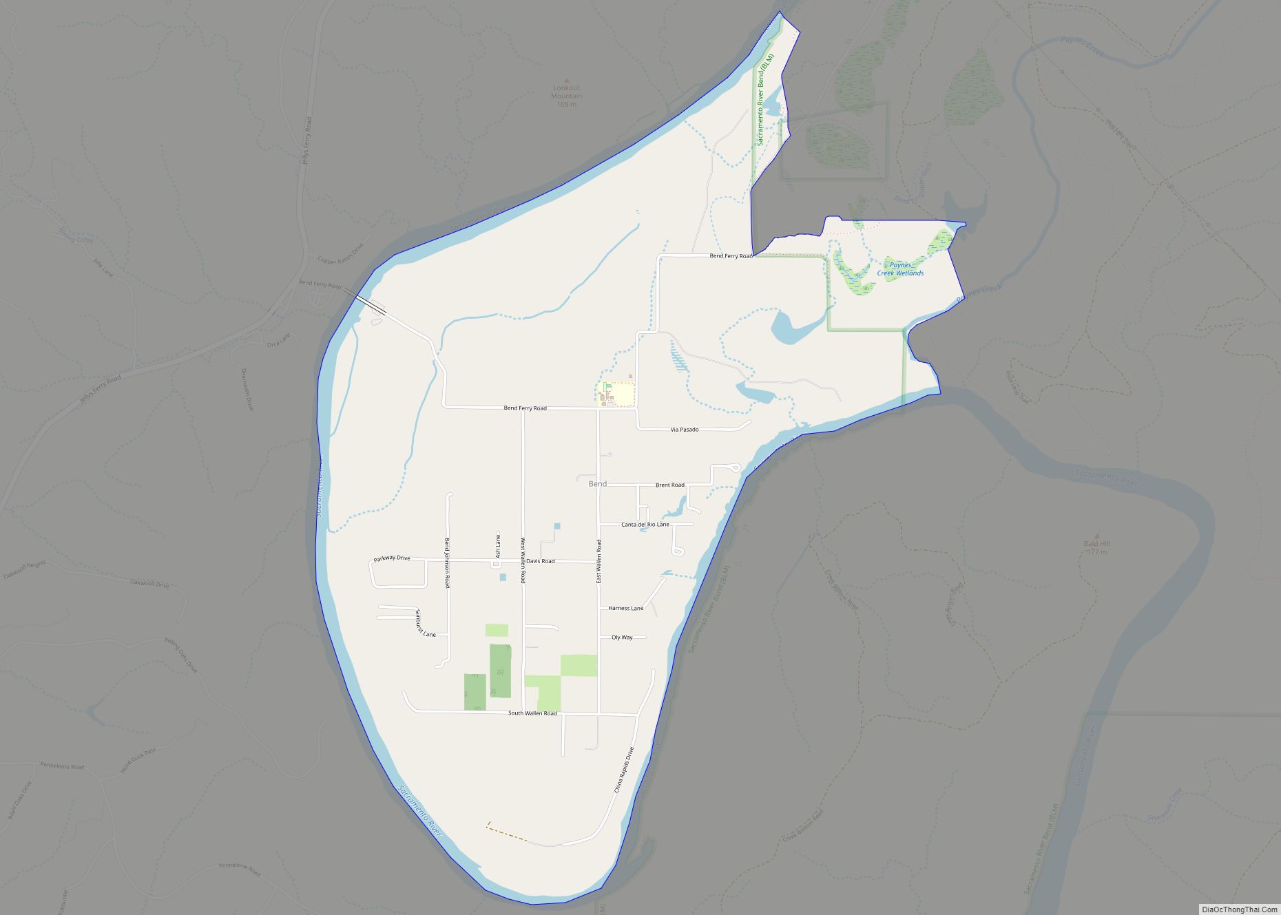
Tehama is generally the first area in the county to flood during the rainy season, although flooding is now controlled by releases from Shasta Dam. This gives Tehama a distinctive appearance, since by city ordinance, houses must be raised above flood level, so most homes have high foundations and tall stairways to the front door.
Tehama is home to two parks: Habert Park on C Street, and Belbeck Park, which contains an old brick schoolhouse, now used for the Head Start program. The Tehama County Museum, housed in what was once the Masonic Hall, is located at the corner of C and Third Street.
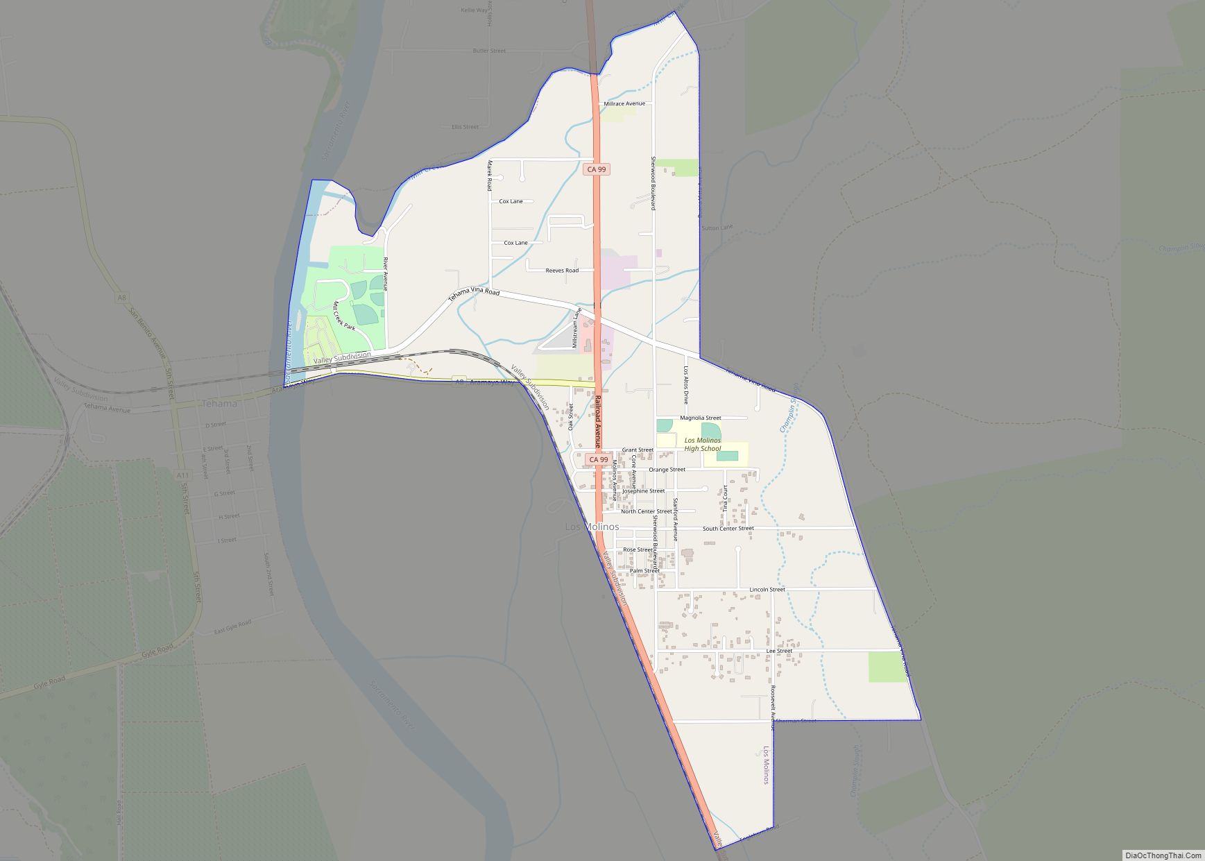
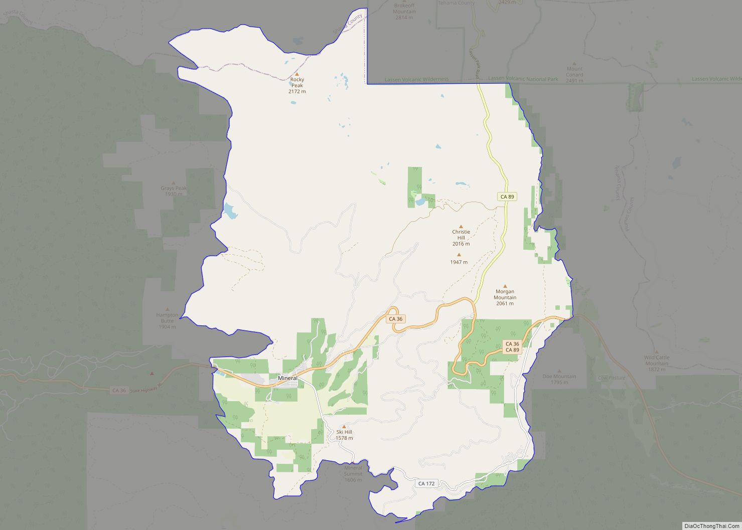
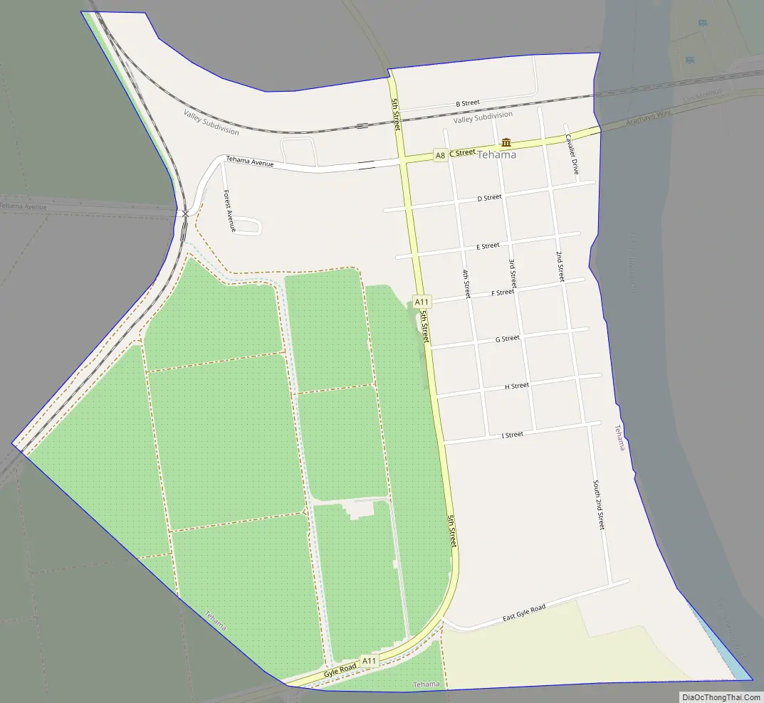
Tehama Road Map
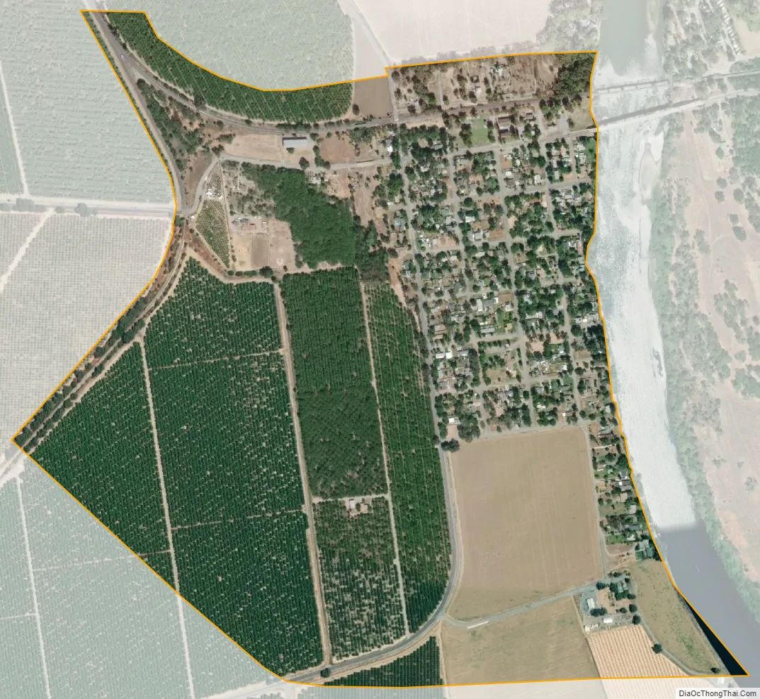
Tehama city Satellite Map
Geography
Tehama is located at 40°1′28″N 122°7′26″W / 40.02444°N 122.12389°W / 40.02444; -122.12389 (40.024337, -122.123783).
According to the United States Census Bureau, the city has a total area of 0.8 square miles (2.1 km), all of it land.
See also
Map of California State and its subdivision:- Alameda
- Alpine
- Amador
- Butte
- Calaveras
- Colusa
- Contra Costa
- Del Norte
- El Dorado
- Fresno
- Glenn
- Humboldt
- Imperial
- Inyo
- Kern
- Kings
- Lake
- Lassen
- Los Angeles
- Madera
- Marin
- Mariposa
- Mendocino
- Merced
- Modoc
- Mono
- Monterey
- Napa
- Nevada
- Orange
- Placer
- Plumas
- Riverside
- Sacramento
- San Benito
- San Bernardino
- San Diego
- San Francisco
- San Joaquin
- San Luis Obispo
- San Mateo
- Santa Barbara
- Santa Clara
- Santa Cruz
- Shasta
- Sierra
- Siskiyou
- Solano
- Sonoma
- Stanislaus
- Sutter
- Tehama
- Trinity
- Tulare
- Tuolumne
- Ventura
- Yolo
- Yuba
- Alabama
- Alaska
- Arizona
- Arkansas
- California
- Colorado
- Connecticut
- Delaware
- District of Columbia
- Florida
- Georgia
- Hawaii
- Idaho
- Illinois
- Indiana
- Iowa
- Kansas
- Kentucky
- Louisiana
- Maine
- Maryland
- Massachusetts
- Michigan
- Minnesota
- Mississippi
- Missouri
- Montana
- Nebraska
- Nevada
- New Hampshire
- New Jersey
- New Mexico
- New York
- North Carolina
- North Dakota
- Ohio
- Oklahoma
- Oregon
- Pennsylvania
- Rhode Island
- South Carolina
- South Dakota
- Tennessee
- Texas
- Utah
- Vermont
- Virginia
- Washington
- West Virginia
- Wisconsin
- Wyoming