Tomales is a census-designated place (CDP) on State Route 1 in Marin County, California, United States. The population was 187 at the 2020 census.
| Name: | Tomales CDP |
|---|---|
| LSAD Code: | 57 |
| LSAD Description: | CDP (suffix) |
| State: | California |
| County: | Marin County |
| Elevation: | 89 ft (27 m) |
| Total Area: | 0.332 sq mi (0.859 km²) |
| Land Area: | 0.332 sq mi (0.859 km²) |
| Water Area: | 0 sq mi (0 km²) 0% |
| Total Population: | 187 |
| Population Density: | 560/sq mi (220/km²) |
| ZIP code: | 94971 |
| Area code: | 707 |
| FIPS code: | 0678890 |
| GNISfeature ID: | 236439 |
Online Interactive Map
Click on ![]() to view map in "full screen" mode.
to view map in "full screen" mode.
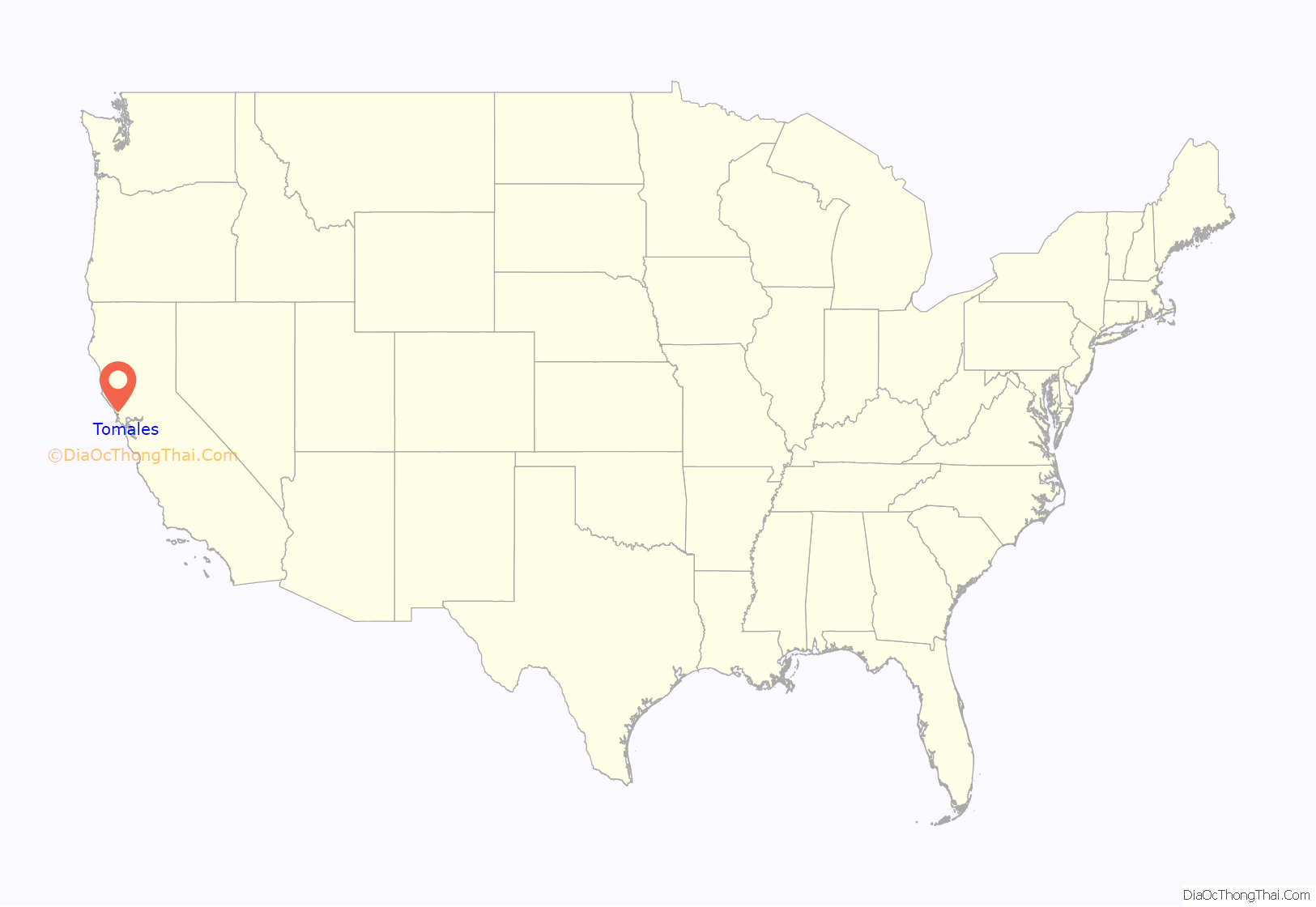
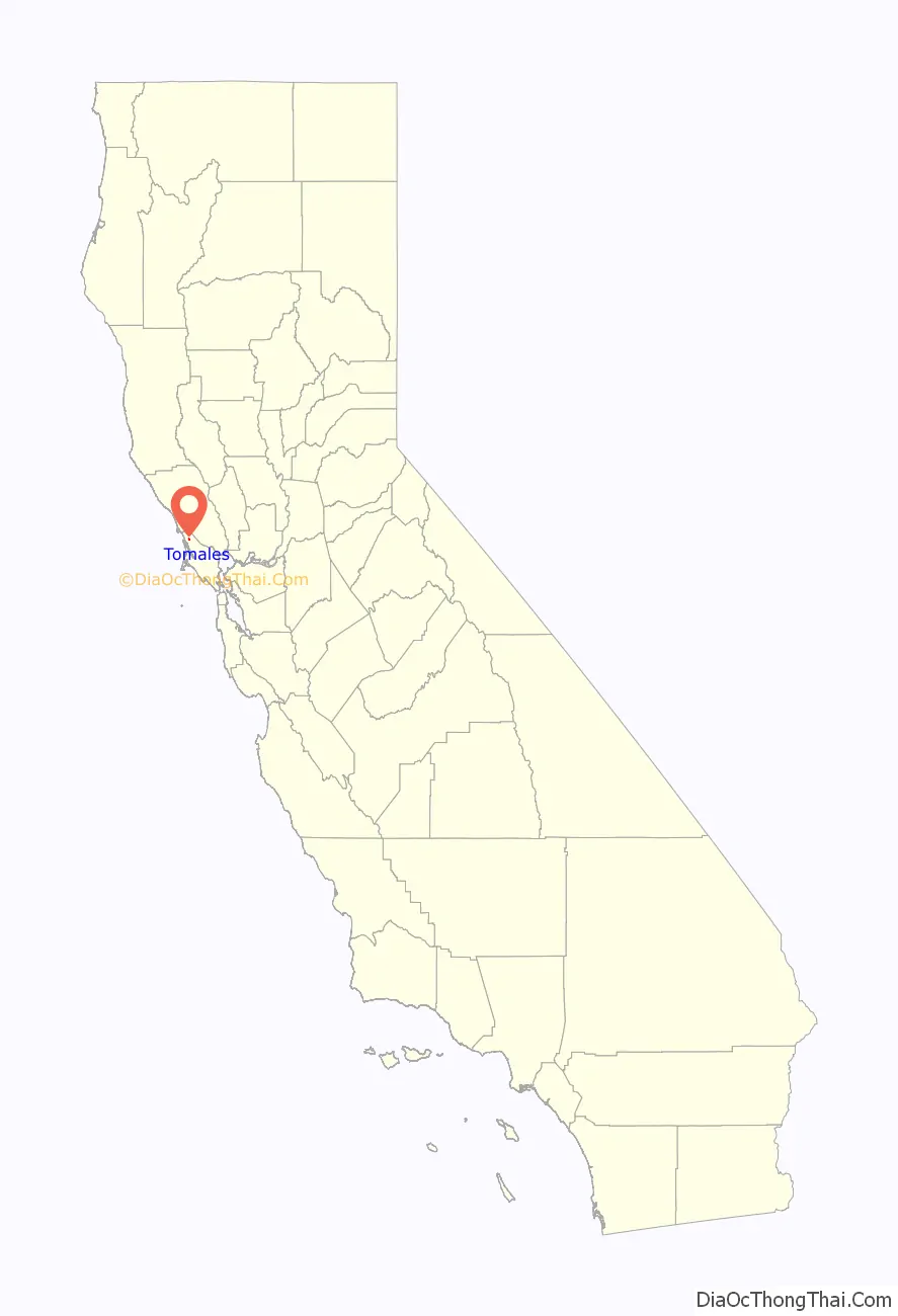
Tomales location map. Where is Tomales CDP?
History
When Europeans first reached Tomales Bay, it was home to Coast Miwok people. Numerous authenticated Miwok villages are known from this area, including one (named Utumia) sited near the present-day town of Tomales.
The “Tomalles” post office opened in 1854, and changed its spelling to “Tomales” before 1879.
Starting in the 1870s, Tomales was a stop on the North Pacific Coast Railroad connecting Cazadero to the Sausalito ferry.
Built near the San Andreas Fault, Tomales was affected by the 1906 San Francisco earthquake. One of the town’s two cemeteries predates the earthquake, and the damage to the pre-1906 plots shows just how widespread the quake’s effects were.
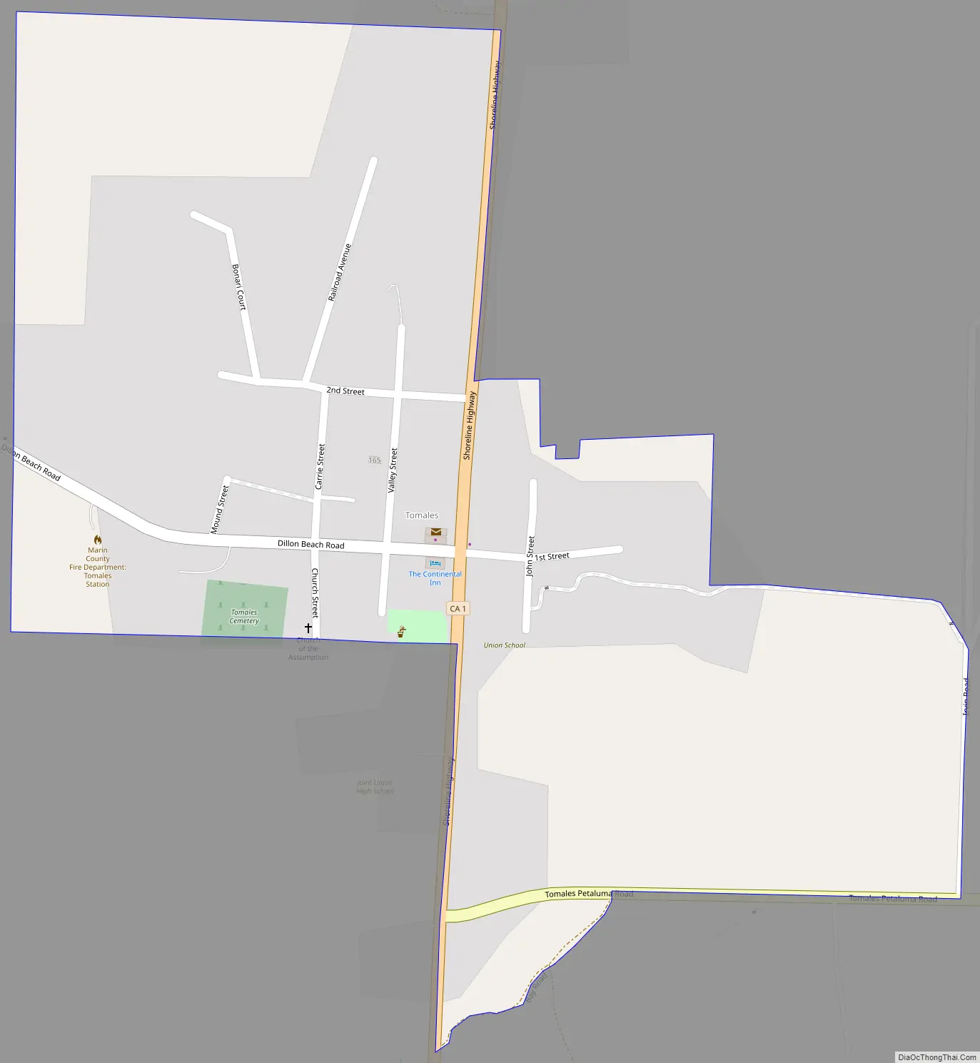
Tomales Road Map
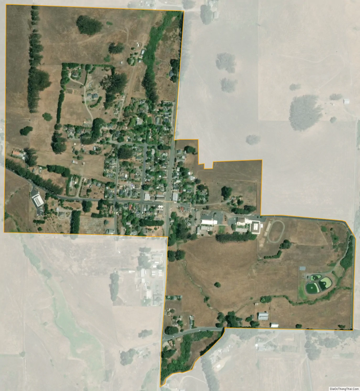
Tomales city Satellite Map
Geography
Tomales is located above Keys Creek, about 3 mi (5 km) northeast of Tomales Bay. The nearest city is Petaluma, 16 miles (26 km) to the east by road, and the nearest large city is San Francisco, about 75 minutes (58 miles (93 km)) to the south.
The CDP has a total area of 0.33 square miles (0.85 km), all of it land.
See also
Map of California State and its subdivision:- Alameda
- Alpine
- Amador
- Butte
- Calaveras
- Colusa
- Contra Costa
- Del Norte
- El Dorado
- Fresno
- Glenn
- Humboldt
- Imperial
- Inyo
- Kern
- Kings
- Lake
- Lassen
- Los Angeles
- Madera
- Marin
- Mariposa
- Mendocino
- Merced
- Modoc
- Mono
- Monterey
- Napa
- Nevada
- Orange
- Placer
- Plumas
- Riverside
- Sacramento
- San Benito
- San Bernardino
- San Diego
- San Francisco
- San Joaquin
- San Luis Obispo
- San Mateo
- Santa Barbara
- Santa Clara
- Santa Cruz
- Shasta
- Sierra
- Siskiyou
- Solano
- Sonoma
- Stanislaus
- Sutter
- Tehama
- Trinity
- Tulare
- Tuolumne
- Ventura
- Yolo
- Yuba
- Alabama
- Alaska
- Arizona
- Arkansas
- California
- Colorado
- Connecticut
- Delaware
- District of Columbia
- Florida
- Georgia
- Hawaii
- Idaho
- Illinois
- Indiana
- Iowa
- Kansas
- Kentucky
- Louisiana
- Maine
- Maryland
- Massachusetts
- Michigan
- Minnesota
- Mississippi
- Missouri
- Montana
- Nebraska
- Nevada
- New Hampshire
- New Jersey
- New Mexico
- New York
- North Carolina
- North Dakota
- Ohio
- Oklahoma
- Oregon
- Pennsylvania
- Rhode Island
- South Carolina
- South Dakota
- Tennessee
- Texas
- Utah
- Vermont
- Virginia
- Washington
- West Virginia
- Wisconsin
- Wyoming


