Tres Pinos (Spanish for “Three Pines”) is a census-designated place in San Benito County, California. The community lies along State Route 25, approximately 4 miles south of Hollister and 5 miles north of Paicines. Tres Pinos sits at an elevation of 531 feet (162 m). The 2010 United States census reported Tres Pinos’s population was 476.
| Name: | Tres Pinos CDP |
|---|---|
| LSAD Code: | 57 |
| LSAD Description: | CDP (suffix) |
| State: | California |
| County: | San Benito County |
| Elevation: | 531 ft (162 m) |
| Total Area: | 3.597 sq mi (9.316 km²) |
| Land Area: | 3.597 sq mi (9.316 km²) |
| Water Area: | 0 sq mi (0 km²) 0% |
| Total Population: | 476 |
| Population Density: | 130/sq mi (51/km²) |
| ZIP code: | 95075 |
| Area code: | 831 |
| FIPS code: | 0680364 |
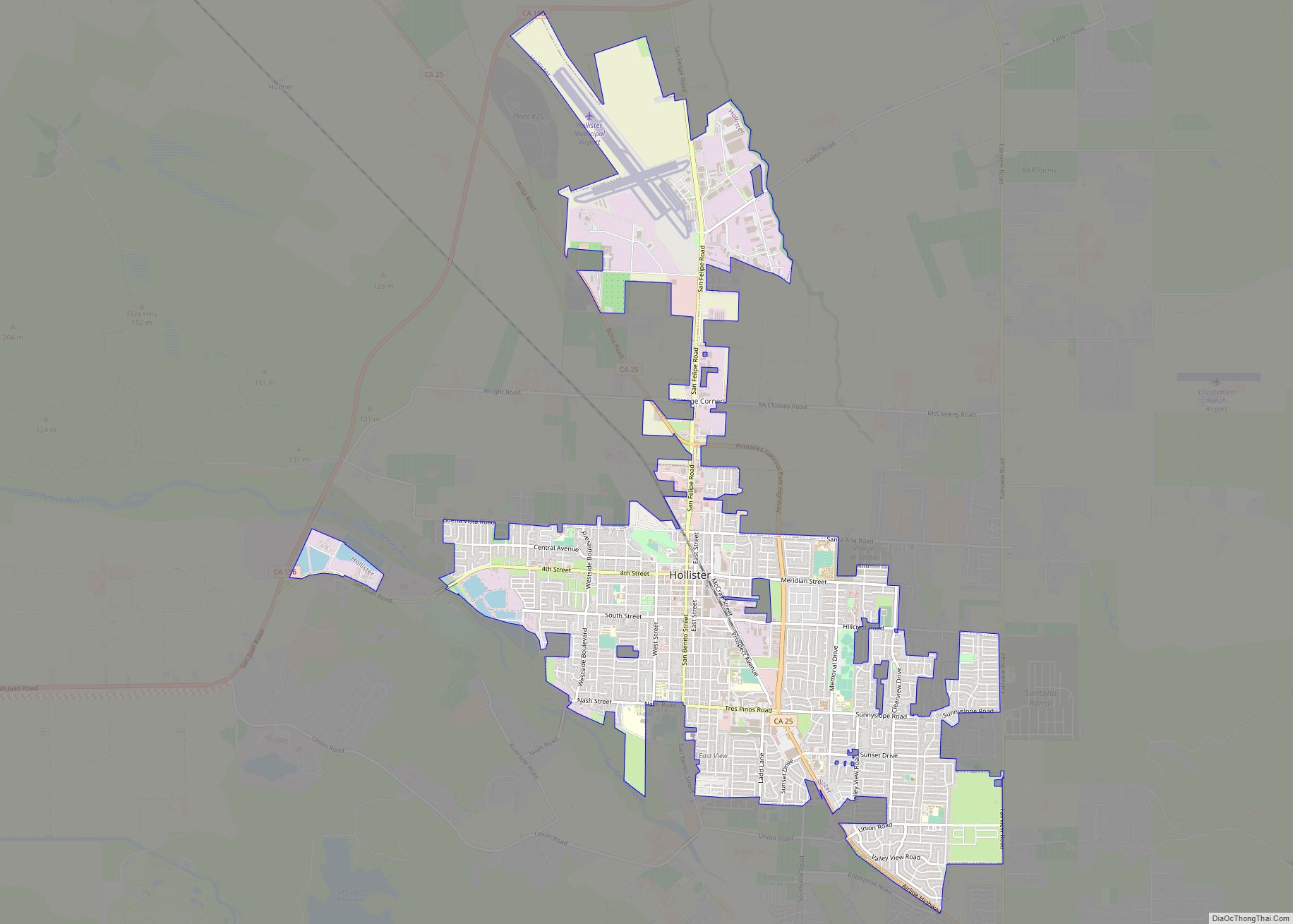
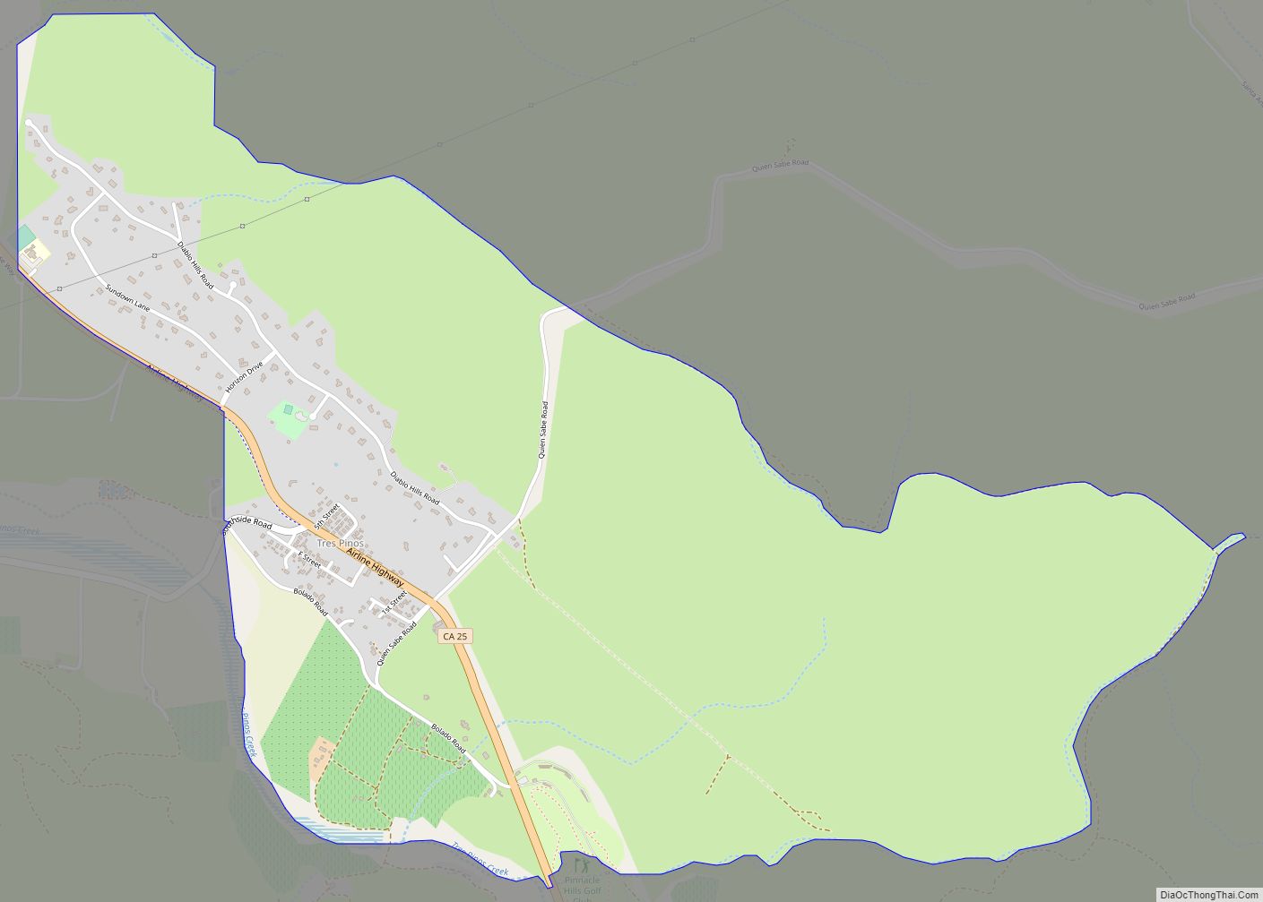
Online Interactive Map
Click on ![]() to view map in "full screen" mode.
to view map in "full screen" mode.
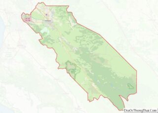
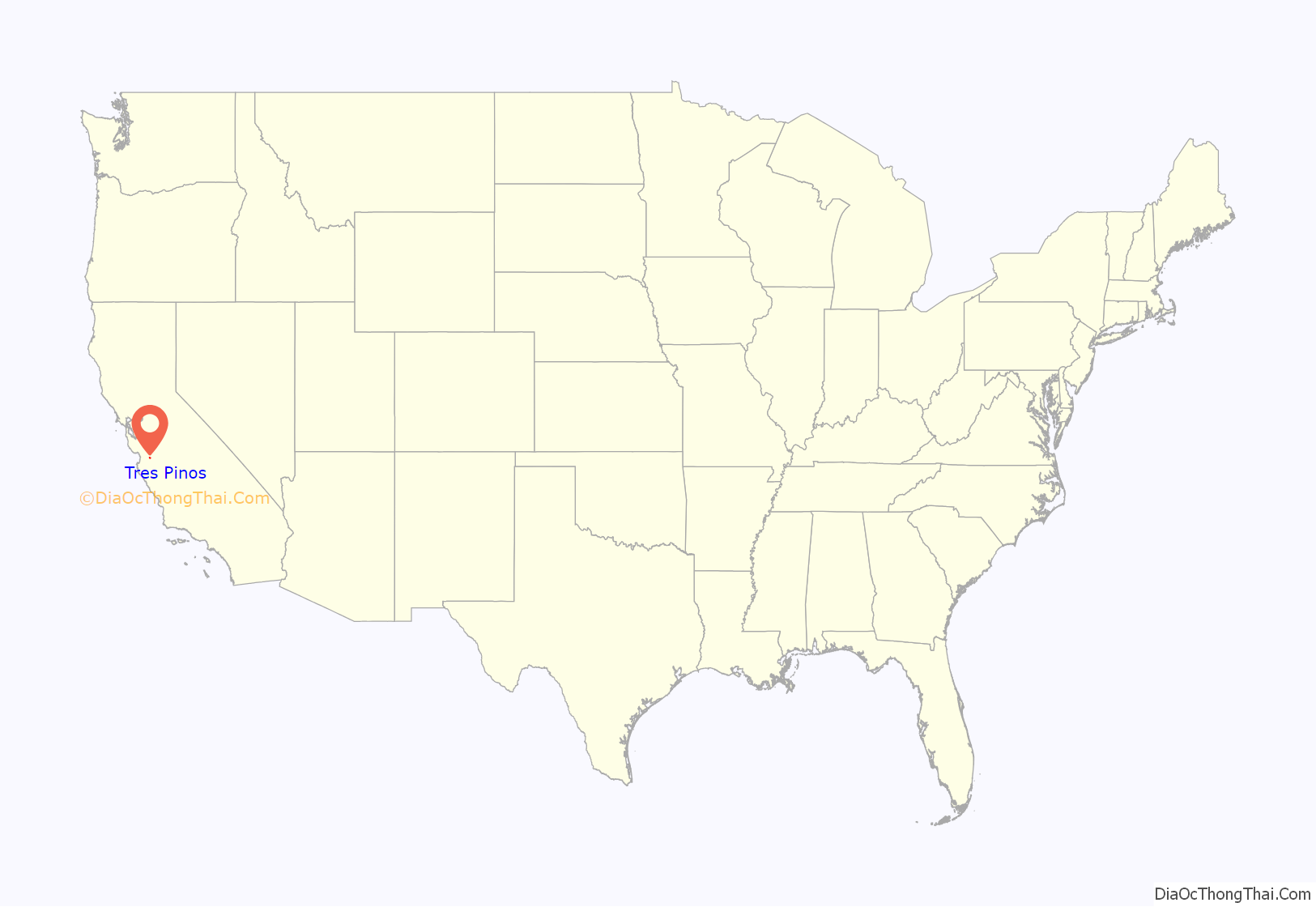
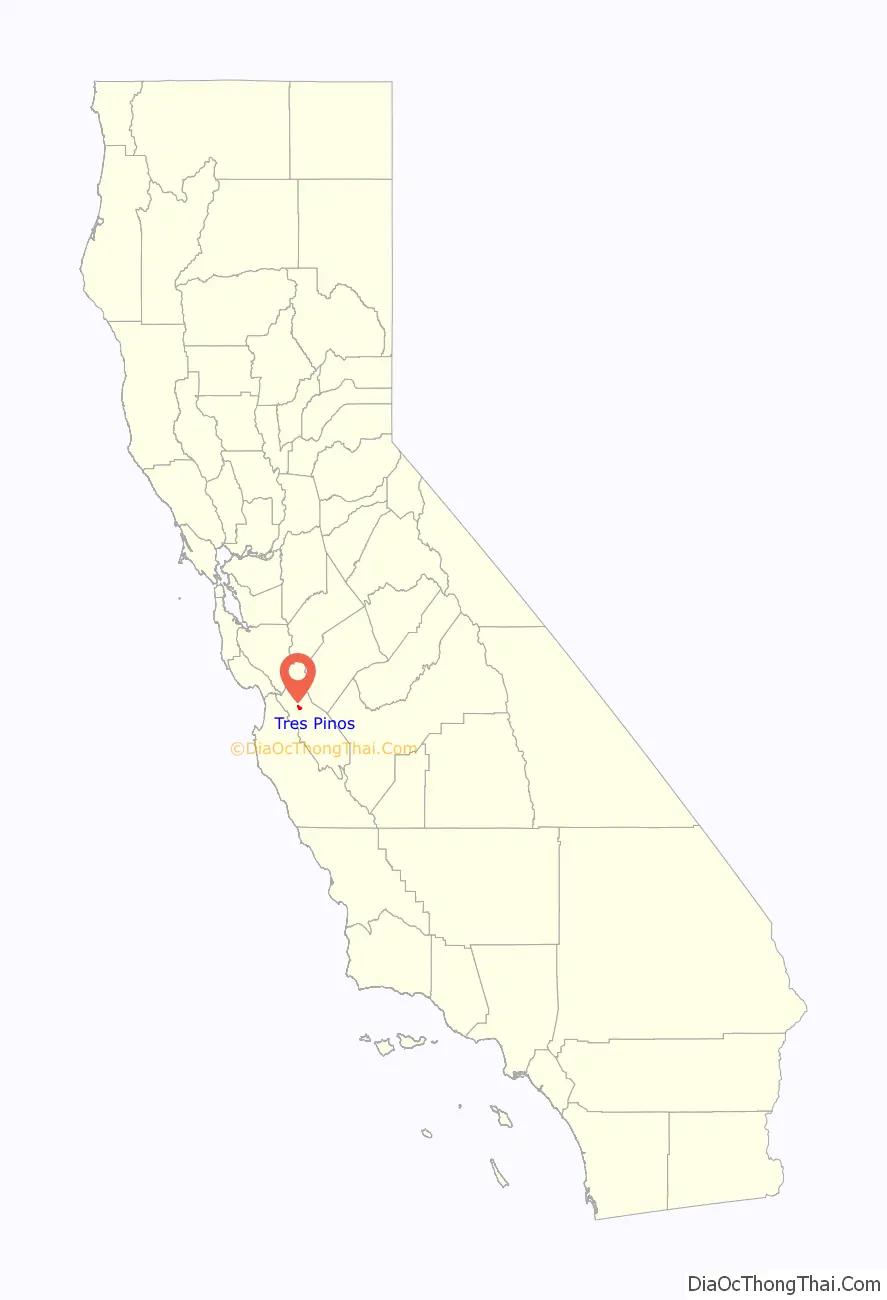
Tres Pinos location map. Where is Tres Pinos CDP?
History
The town of Tres Pinos was originally located 5 miles south of the town of Paicines. The opposite is true today.
The railroad was to build a line to Tres Pinos. By 1873, Southern Pacific Railroad made it to Paicines and it ran two passenger and two freight trains a day. So in 1874 the names of the two towns were switched so the railroad could say they built a line all the way to Tres Pinos.
In its heyday the town was not only the end of the railroad line but was also a stage coach stop. There was a Southern Pacific Hotel, rodeo grounds, grain barns, corrals, and many saloons, restaurants and even a brothel.
The “Tres Pinos Tragedy” occurred in 1873 when a robbery featuring eight outlaws including Tiburcio Vásquez went wrong, resulting in three murders. (Note that these events took place in the town now called Paicines.)
Tres Pinos Road Map
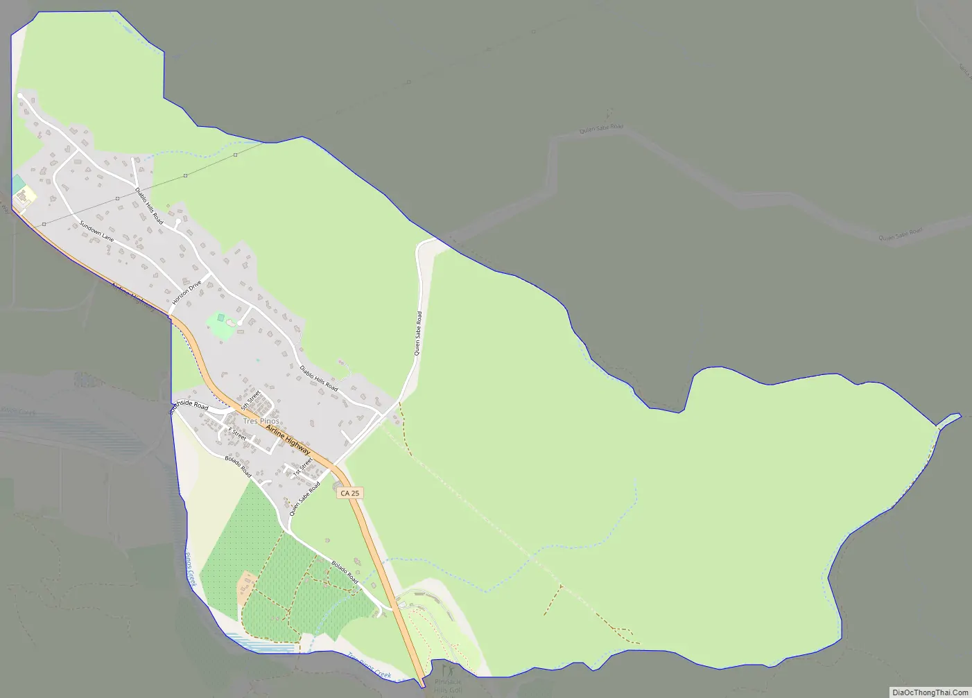
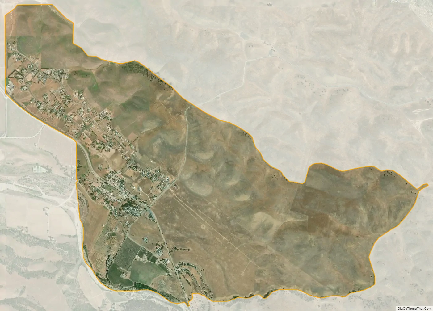
Tres Pinos city Satellite Map
Geography
According to the United States Census Bureau, the CDP covers an area of 3.6 square miles (9.3 km), all of it land.
See also
Map of California State and its subdivision:- Alameda
- Alpine
- Amador
- Butte
- Calaveras
- Colusa
- Contra Costa
- Del Norte
- El Dorado
- Fresno
- Glenn
- Humboldt
- Imperial
- Inyo
- Kern
- Kings
- Lake
- Lassen
- Los Angeles
- Madera
- Marin
- Mariposa
- Mendocino
- Merced
- Modoc
- Mono
- Monterey
- Napa
- Nevada
- Orange
- Placer
- Plumas
- Riverside
- Sacramento
- San Benito
- San Bernardino
- San Diego
- San Francisco
- San Joaquin
- San Luis Obispo
- San Mateo
- Santa Barbara
- Santa Clara
- Santa Cruz
- Shasta
- Sierra
- Siskiyou
- Solano
- Sonoma
- Stanislaus
- Sutter
- Tehama
- Trinity
- Tulare
- Tuolumne
- Ventura
- Yolo
- Yuba
- Alabama
- Alaska
- Arizona
- Arkansas
- California
- Colorado
- Connecticut
- Delaware
- District of Columbia
- Florida
- Georgia
- Hawaii
- Idaho
- Illinois
- Indiana
- Iowa
- Kansas
- Kentucky
- Louisiana
- Maine
- Maryland
- Massachusetts
- Michigan
- Minnesota
- Mississippi
- Missouri
- Montana
- Nebraska
- Nevada
- New Hampshire
- New Jersey
- New Mexico
- New York
- North Carolina
- North Dakota
- Ohio
- Oklahoma
- Oregon
- Pennsylvania
- Rhode Island
- South Carolina
- South Dakota
- Tennessee
- Texas
- Utah
- Vermont
- Virginia
- Washington
- West Virginia
- Wisconsin
- Wyoming