Upper Lake is a census-designated place (CDP) in Lake County, California, United States. Upper Lake is located 8 miles (13 km) north of Lakeport, at an elevation of 1,345 feet (410 m). The population was 1,052 at the 2010 census, up from 989 at the 2000 census. The Habematolel Pomo of Upper Lake are headquartered here.
| Name: | Upper Lake CDP |
|---|---|
| LSAD Code: | 57 |
| LSAD Description: | CDP (suffix) |
| State: | California |
| County: | Lake County |
| Elevation: | 1,345 ft (410 m) |
| Total Area: | 1.687 sq mi (4.369 km²) |
| Land Area: | 1.682 sq mi (4.357 km²) |
| Water Area: | 0.005 sq mi (0.012 km²) 0.28% |
| Total Population: | 1,052 |
| Population Density: | 620/sq mi (240/km²) |
| ZIP code: | 95485 |
| Area code: | 707 |
| FIPS code: | 0681358 |
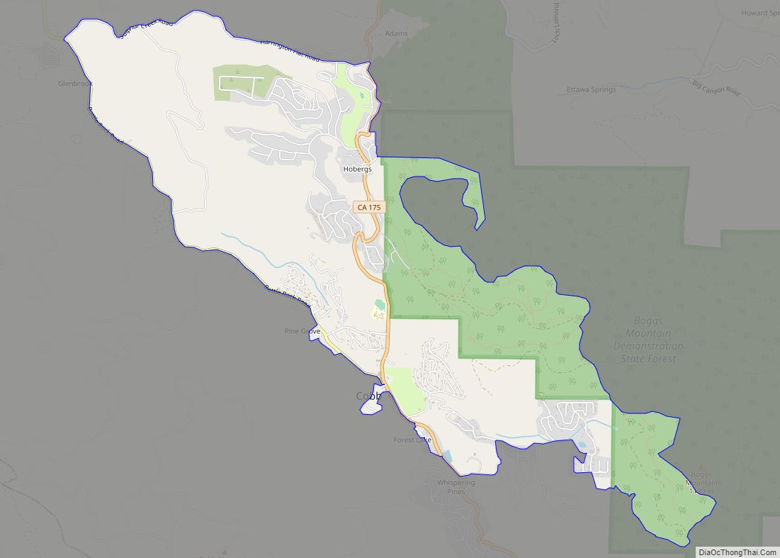
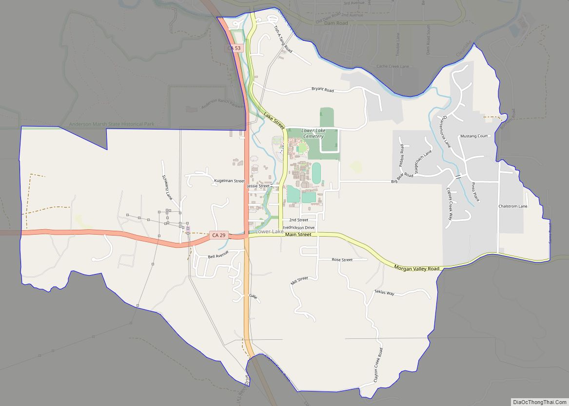
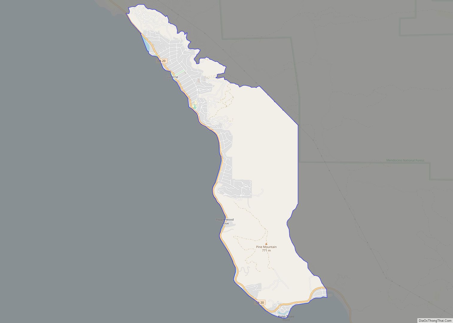
Online Interactive Map
Click on ![]() to view map in "full screen" mode.
to view map in "full screen" mode.
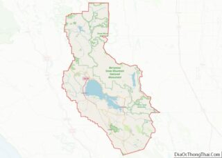
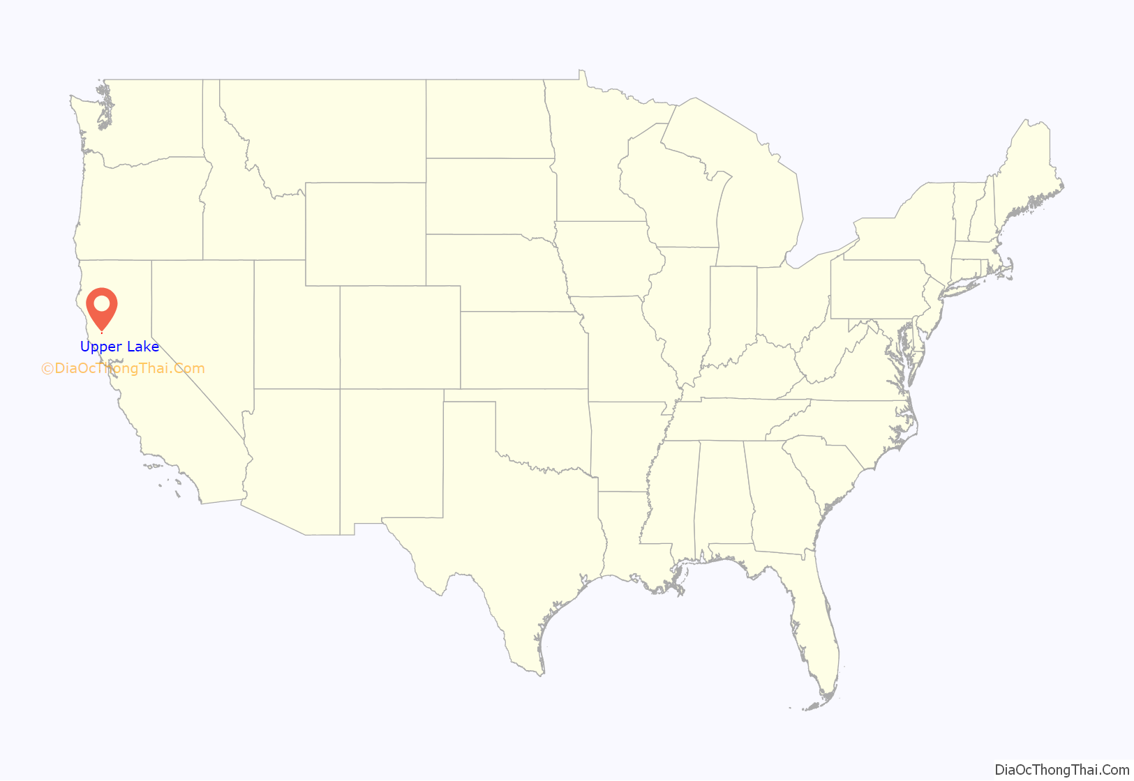
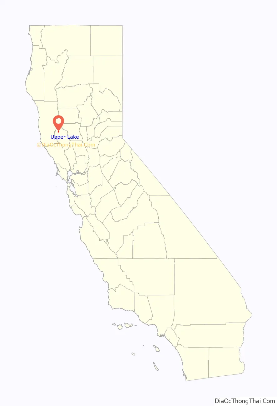
Upper Lake location map. Where is Upper Lake CDP?
History
The settlement began in 1854 or 1856, when William B. Elliott opened a blacksmith’s shop. About ten years later, in 1866, a man named Bukofsky built a store, followed by another blacksmith shop built by Caspar Sweikert. A hotel was started by Henry Taylor. A grist mill was built in 1858 and closed in 1867. A second grist mill was built in 1875. The community grew as cattle stock, alfalfa and bean canneries became the main economic draws.
Upper Lake was a hub to most activities in the Northern part of Lake County. In 1860, when Upper Lake was known as Upper Clear Lake, there existed a 20-mile (32 km) toll road between the town and Lower Lake which routed through Lakeport. In 1865, the “Blue Lakes Wagon Road Co.” completed a toll road which connected Upper Lake to Ukiah. In 1872 the Upper Lake & Clover Valley Toll Road Co.” built an improved route that connected Bartlett Springs. Bartlett Springs sat in the high mountains East of Upper Lake and had a toll road running East into the Sacramento valley. These toll roads became the major route to move people in and out of Lake County. Folks from around the world could take a train to Hopland, then take a stagecoach to Lakeport. From Lakeport they would take a steamboat across Clear Lake to Bartlett Landing. The Wharf was located along the shoreline just East of Upper Lake. From there they would take a stagecoach via Upper Lake up to Bartlett Springs Resort. Travelers could also take a train from the San Francisco Bay area into the Sacramento Valley and then take a stage into Lake County via Bartlett Springs and Upper Lake. By the early 1890s, all major routes into and out of Lake County were toll roads.
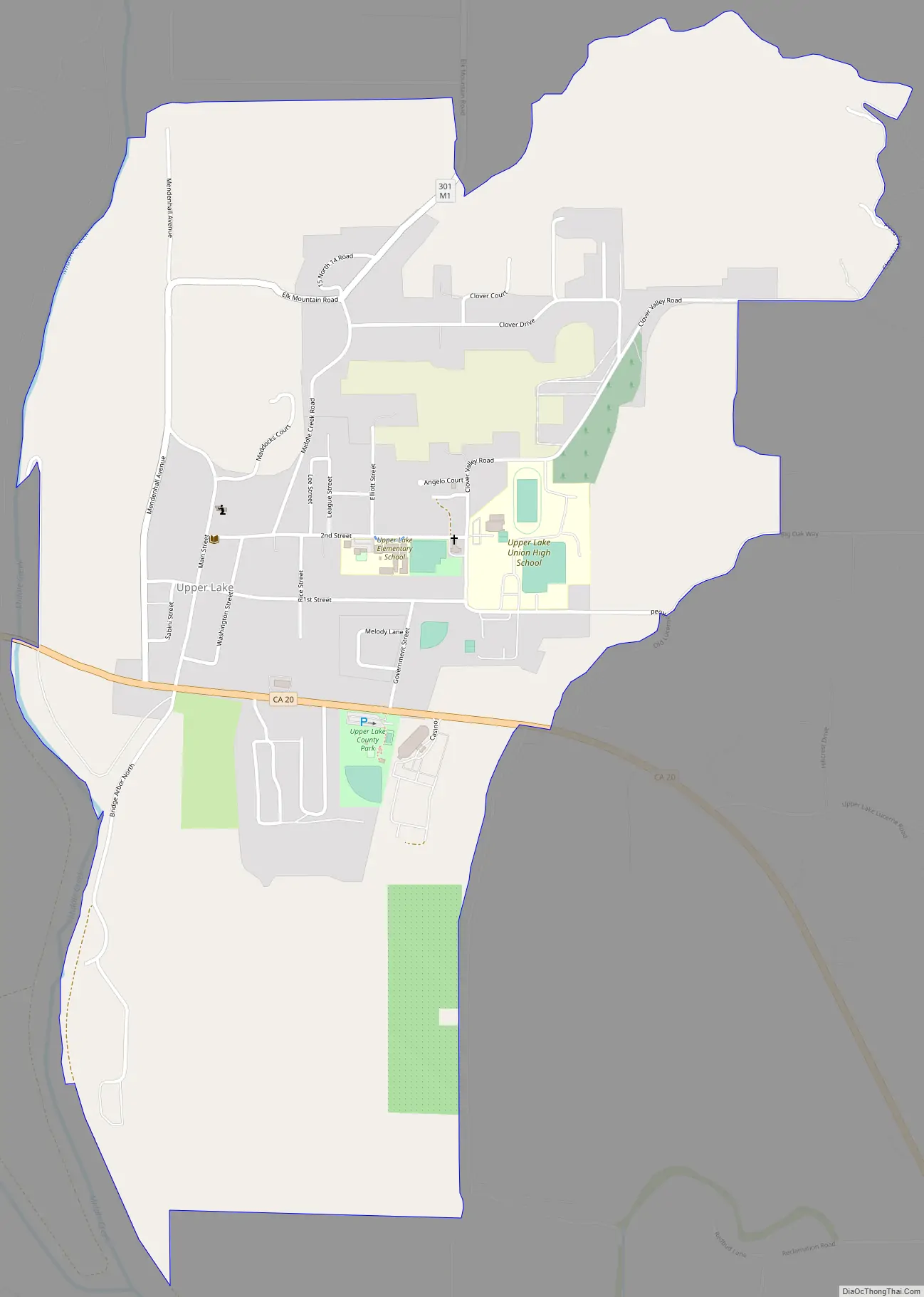
Upper Lake Road Map
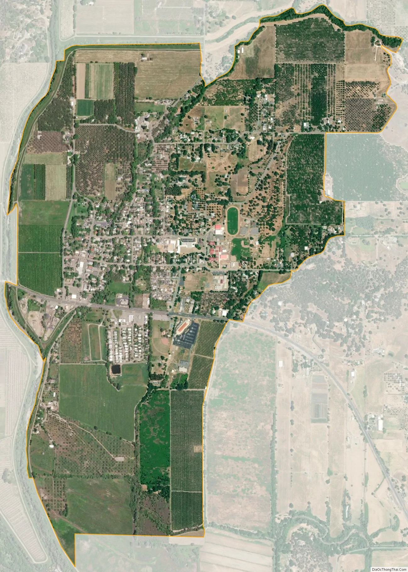
Upper Lake city Satellite Map
Geography
According to the United States Census Bureau, the CDP has a total area of 1.7 square miles (4.4 km), of which over 99% is land.
At the 2000 census, according to the United States Census Bureau, the CDP had a total area of 6.0 square miles (16 km), of which 5.8 square miles (15 km) of it was land and 0.2 square miles (0.52 km) of it (3.33%) was water.
The Hayville Sulphur Spring, formerly used medicinally, is located 5 miles (8 km) northwest.
See also
Map of California State and its subdivision:- Alameda
- Alpine
- Amador
- Butte
- Calaveras
- Colusa
- Contra Costa
- Del Norte
- El Dorado
- Fresno
- Glenn
- Humboldt
- Imperial
- Inyo
- Kern
- Kings
- Lake
- Lassen
- Los Angeles
- Madera
- Marin
- Mariposa
- Mendocino
- Merced
- Modoc
- Mono
- Monterey
- Napa
- Nevada
- Orange
- Placer
- Plumas
- Riverside
- Sacramento
- San Benito
- San Bernardino
- San Diego
- San Francisco
- San Joaquin
- San Luis Obispo
- San Mateo
- Santa Barbara
- Santa Clara
- Santa Cruz
- Shasta
- Sierra
- Siskiyou
- Solano
- Sonoma
- Stanislaus
- Sutter
- Tehama
- Trinity
- Tulare
- Tuolumne
- Ventura
- Yolo
- Yuba
- Alabama
- Alaska
- Arizona
- Arkansas
- California
- Colorado
- Connecticut
- Delaware
- District of Columbia
- Florida
- Georgia
- Hawaii
- Idaho
- Illinois
- Indiana
- Iowa
- Kansas
- Kentucky
- Louisiana
- Maine
- Maryland
- Massachusetts
- Michigan
- Minnesota
- Mississippi
- Missouri
- Montana
- Nebraska
- Nevada
- New Hampshire
- New Jersey
- New Mexico
- New York
- North Carolina
- North Dakota
- Ohio
- Oklahoma
- Oregon
- Pennsylvania
- Rhode Island
- South Carolina
- South Dakota
- Tennessee
- Texas
- Utah
- Vermont
- Virginia
- Washington
- West Virginia
- Wisconsin
- Wyoming