Vineyard is a census-designated place (CDP) in Sacramento County, California, United States. It is part of the Sacramento–Arden-Arcade–Roseville Metropolitan Statistical Area. The population was 24,836 at the 2010 census, up from 10,109 at the 2000 census. Along with more than doubling its population in just one decade, Vineyard also grew to become one of Greater Sacramento’s most racially diverse suburbs.
| Name: | Vineyard CDP |
|---|---|
| LSAD Code: | 57 |
| LSAD Description: | CDP (suffix) |
| State: | California |
| County: | Sacramento County |
| Elevation: | 66 ft (20 m) |
| Total Area: | 17.206 sq mi (44.56 km²) |
| Land Area: | 17.206 sq mi (44.56 km²) |
| Water Area: | 0 sq mi (0 km²) 0% |
| Total Population: | 43,935 |
| ZIP code: | 95828, 95829 |
| Area code: | 916, 279 |
| FIPS code: | 0682852 |
Online Interactive Map
Click on ![]() to view map in "full screen" mode.
to view map in "full screen" mode.
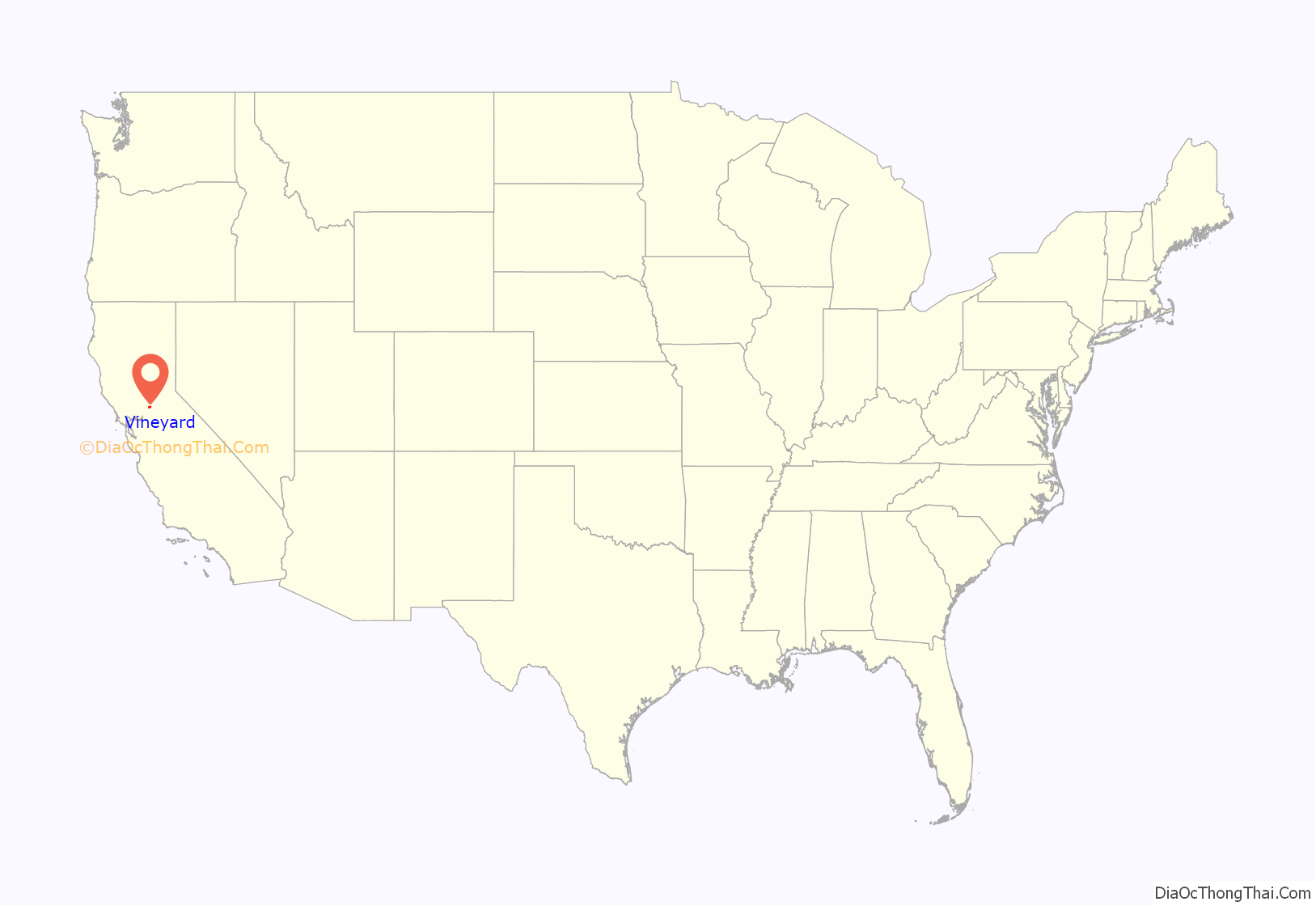
Vineyard location map. Where is Vineyard CDP?
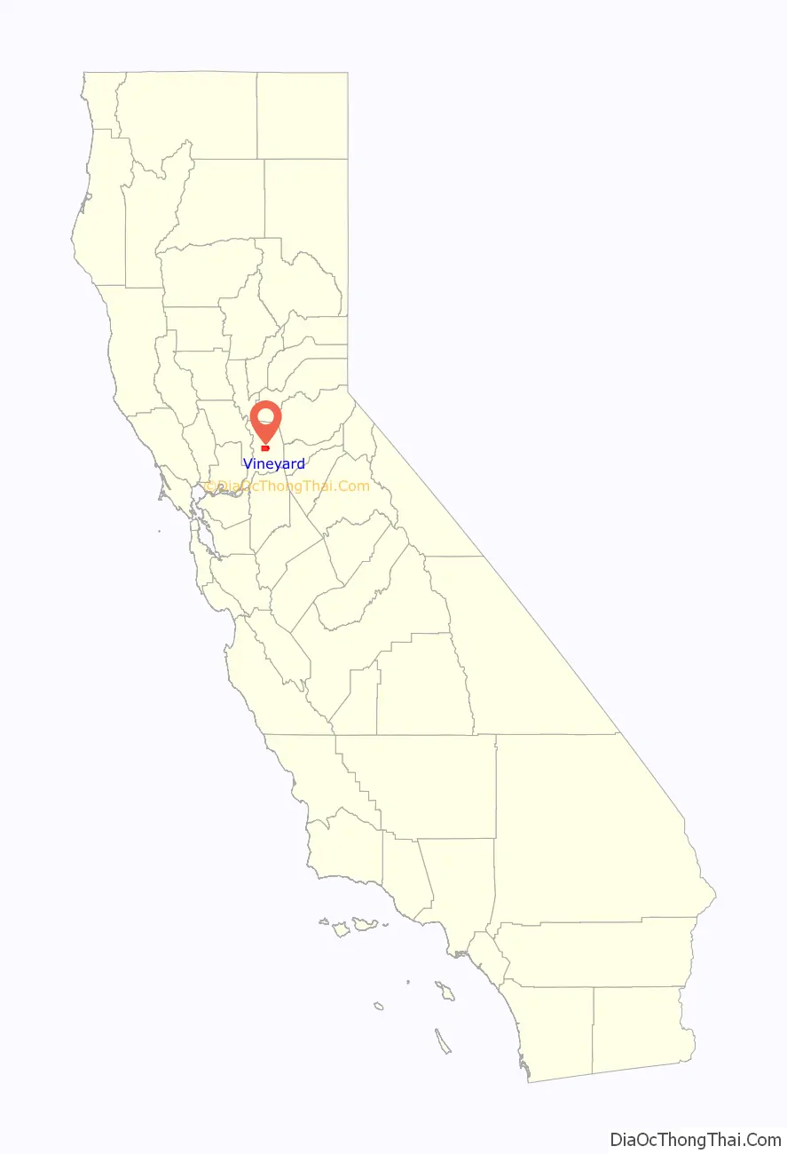
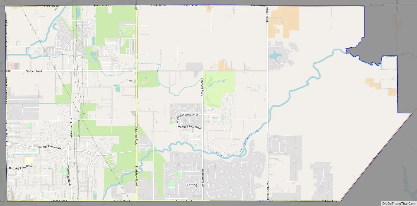
Vineyard Road Map
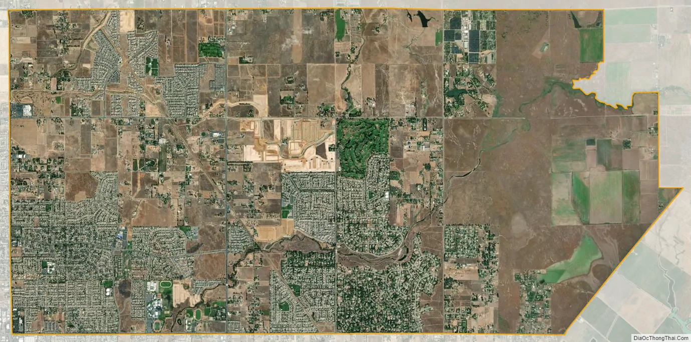
Vineyard city Satellite Map
Geography
Vineyard is located at 38°27′52″N 121°20′49″W / 38.46444°N 121.34694°W / 38.46444; -121.34694 (38.464488, -121.346917).
It is bordered roughly by Jackson Road on the north, roughly a line 1⁄4 mile to the east of Grant Line Road, Calvine Road on the south, and Elk Grove Florin Road on the west.
According to the United States Census Bureau, the CDP has a total area of 17.2 square miles (45 km), all of it land.
See also
Map of California State and its subdivision:- Alameda
- Alpine
- Amador
- Butte
- Calaveras
- Colusa
- Contra Costa
- Del Norte
- El Dorado
- Fresno
- Glenn
- Humboldt
- Imperial
- Inyo
- Kern
- Kings
- Lake
- Lassen
- Los Angeles
- Madera
- Marin
- Mariposa
- Mendocino
- Merced
- Modoc
- Mono
- Monterey
- Napa
- Nevada
- Orange
- Placer
- Plumas
- Riverside
- Sacramento
- San Benito
- San Bernardino
- San Diego
- San Francisco
- San Joaquin
- San Luis Obispo
- San Mateo
- Santa Barbara
- Santa Clara
- Santa Cruz
- Shasta
- Sierra
- Siskiyou
- Solano
- Sonoma
- Stanislaus
- Sutter
- Tehama
- Trinity
- Tulare
- Tuolumne
- Ventura
- Yolo
- Yuba
- Alabama
- Alaska
- Arizona
- Arkansas
- California
- Colorado
- Connecticut
- Delaware
- District of Columbia
- Florida
- Georgia
- Hawaii
- Idaho
- Illinois
- Indiana
- Iowa
- Kansas
- Kentucky
- Louisiana
- Maine
- Maryland
- Massachusetts
- Michigan
- Minnesota
- Mississippi
- Missouri
- Montana
- Nebraska
- Nevada
- New Hampshire
- New Jersey
- New Mexico
- New York
- North Carolina
- North Dakota
- Ohio
- Oklahoma
- Oregon
- Pennsylvania
- Rhode Island
- South Carolina
- South Dakota
- Tennessee
- Texas
- Utah
- Vermont
- Virginia
- Washington
- West Virginia
- Wisconsin
- Wyoming


