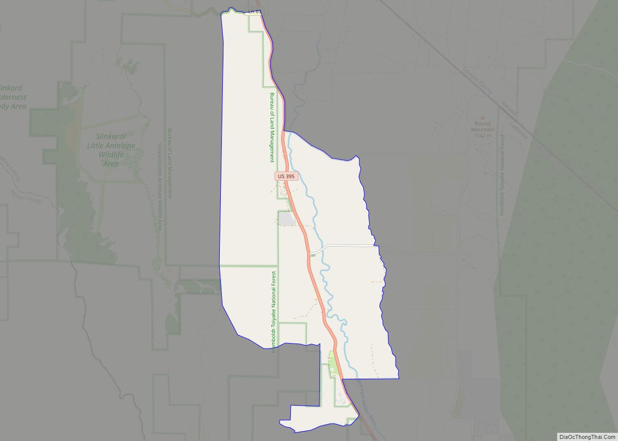
Walker is an unincorporated community and census-designated place (CDP) in Mono County, California, United States. It is located 3 miles (5 km) south of Coleville, at an elevation of 5,403 feet (1,647 m). The ZIP Code is 96107, and mail to Walker should be addressed Coleville.
The town was likely named for pioneer Joseph R. Walker, who started his ascent of the Sierra Nevada range (as part of a longer expedition which ended in Monterey) in nearby Bridgeport. The Walker area was devastated by the 2020 Mountain View Fire, which resulted in evacuations. The population was 704 at the 2020 census.
| Name: | Walker CDP |
|---|---|
| LSAD Code: | 57 |
| LSAD Description: | CDP (suffix) |
| State: | California |
| County: | Mono County |
| Elevation: | 5,403 ft (1,647 m) |
| Total Area: | 12.15 sq mi (31.47 km²) |
| Land Area: | 12.15 sq mi (31.47 km²) |
| Water Area: | 0 sq mi (0 km²) 0% |
| Total Population: | 721 |
| Population Density: | 59/sq mi (23/km²) |
| ZIP code: | 96107 (Coleville) |
| Area code: | 530 |
| FIPS code: | 0683262 |
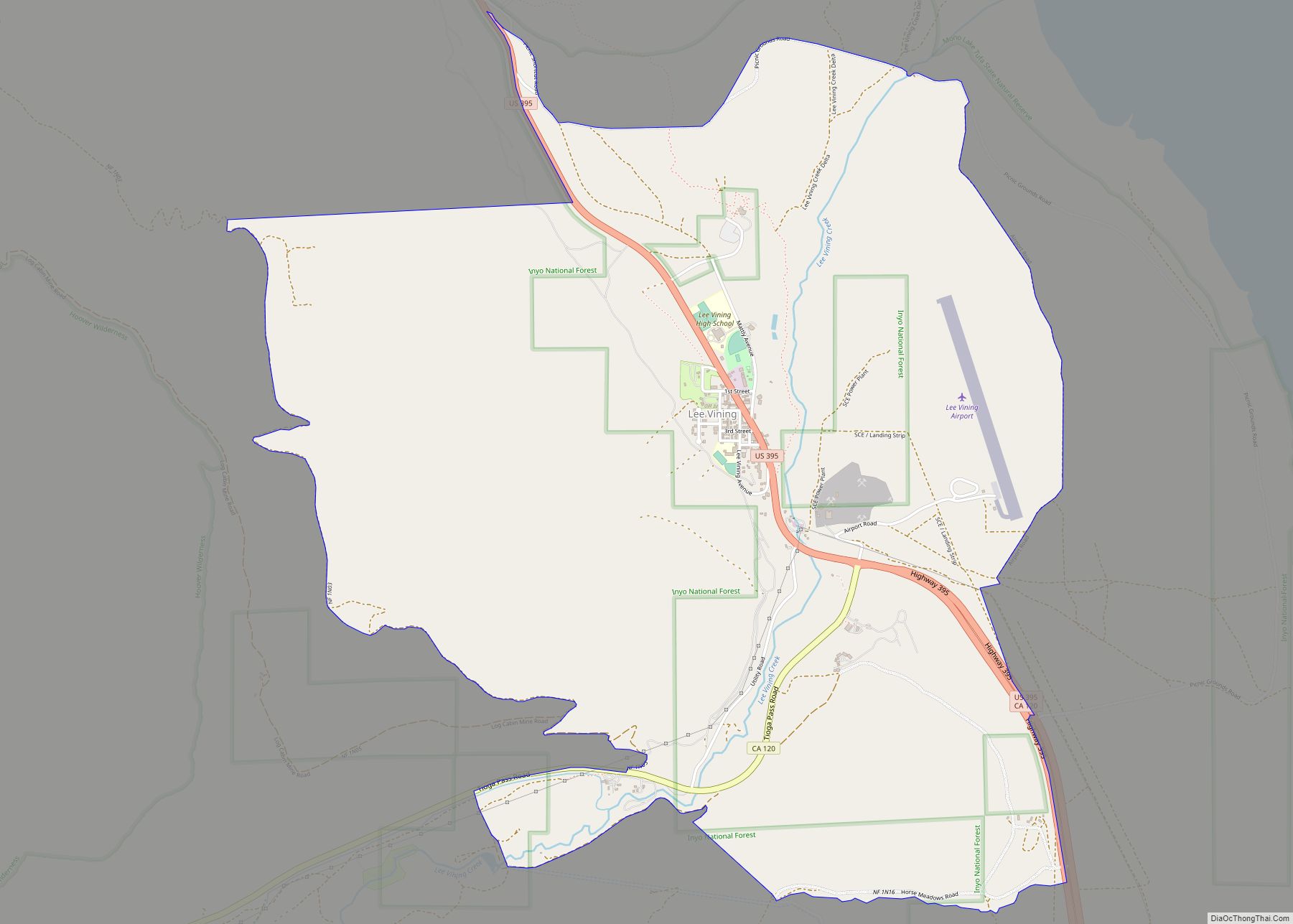
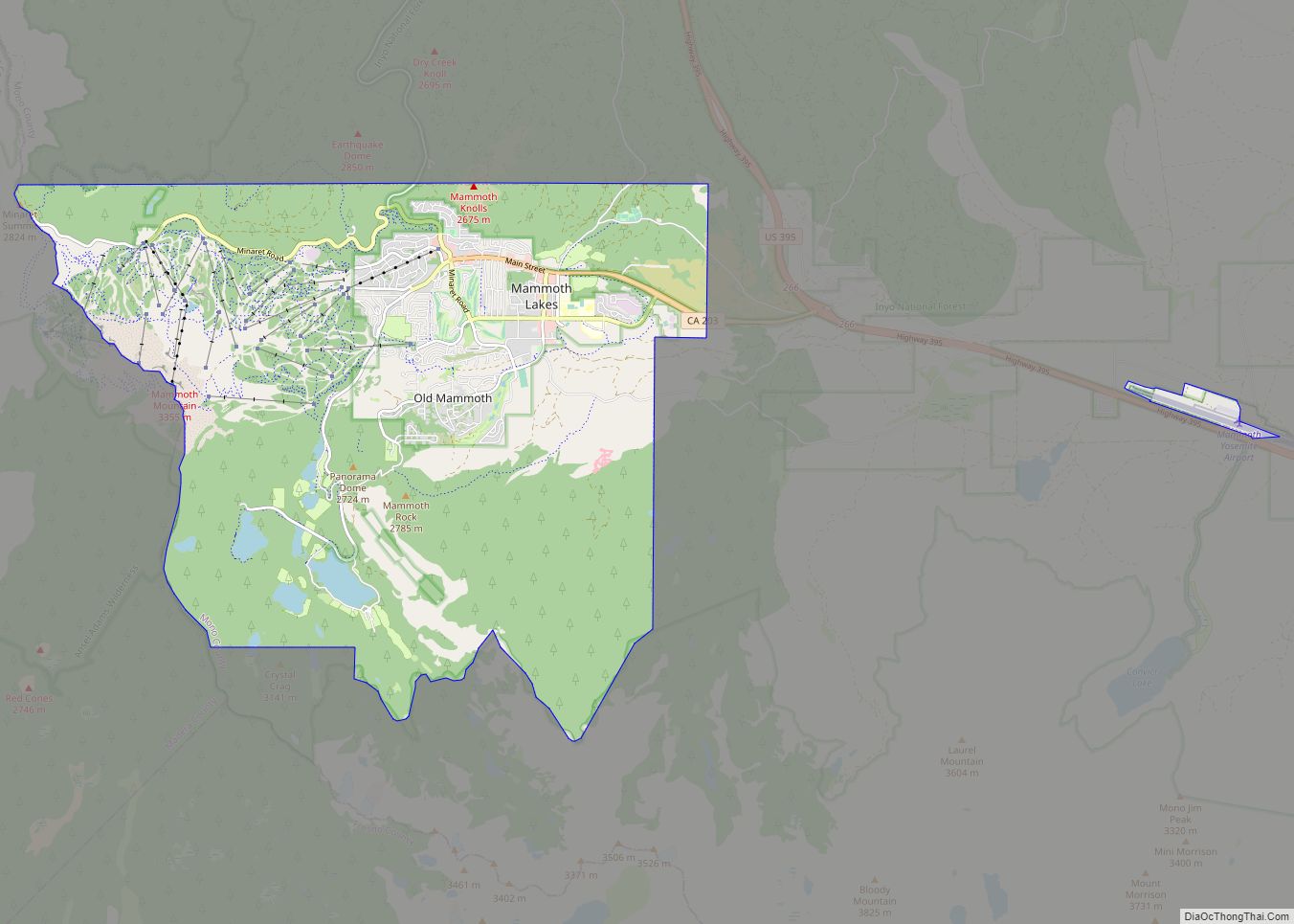
Online Interactive Map
Click on ![]() to view map in "full screen" mode.
to view map in "full screen" mode.
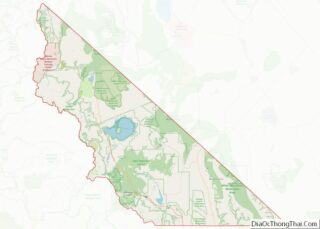
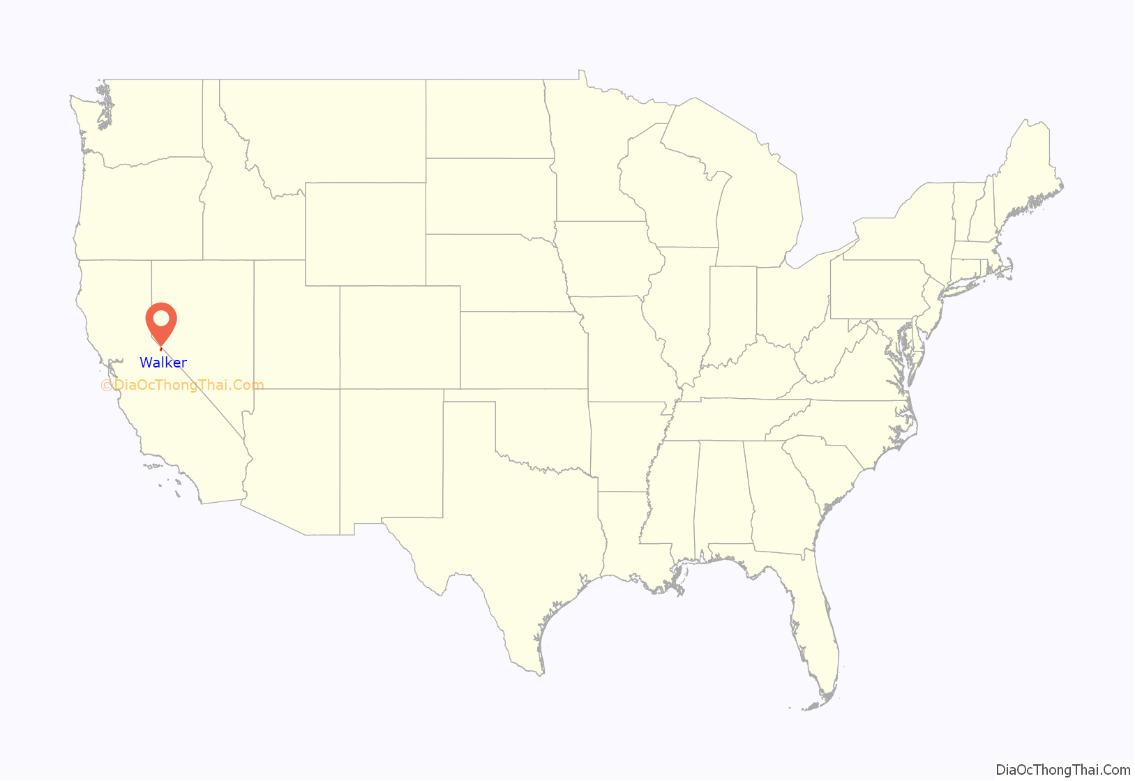
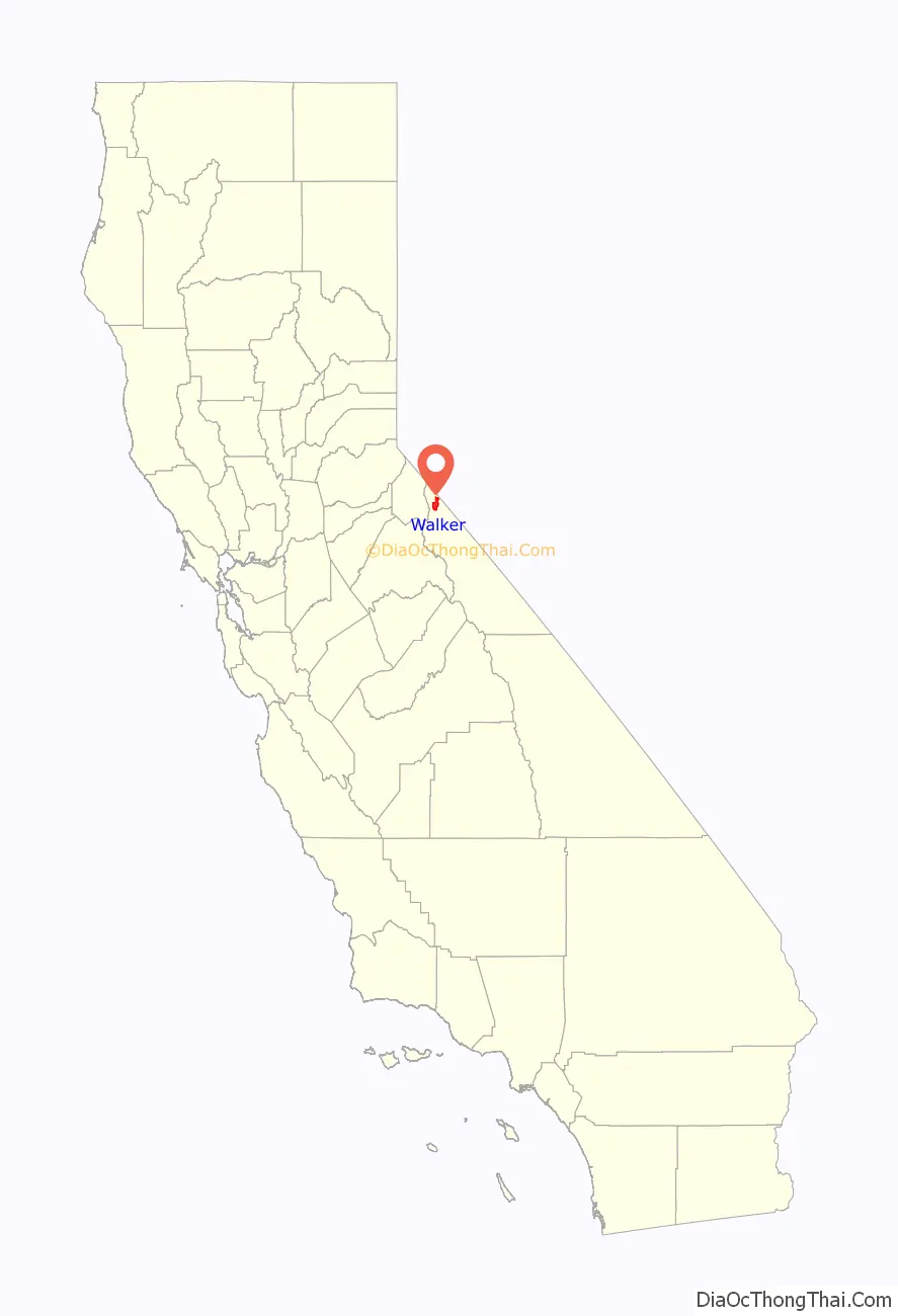
Walker location map. Where is Walker CDP?
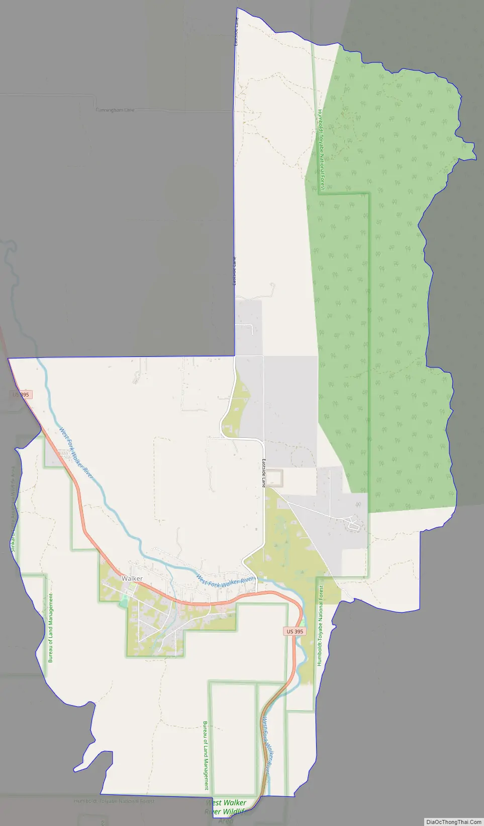
Walker Road Map
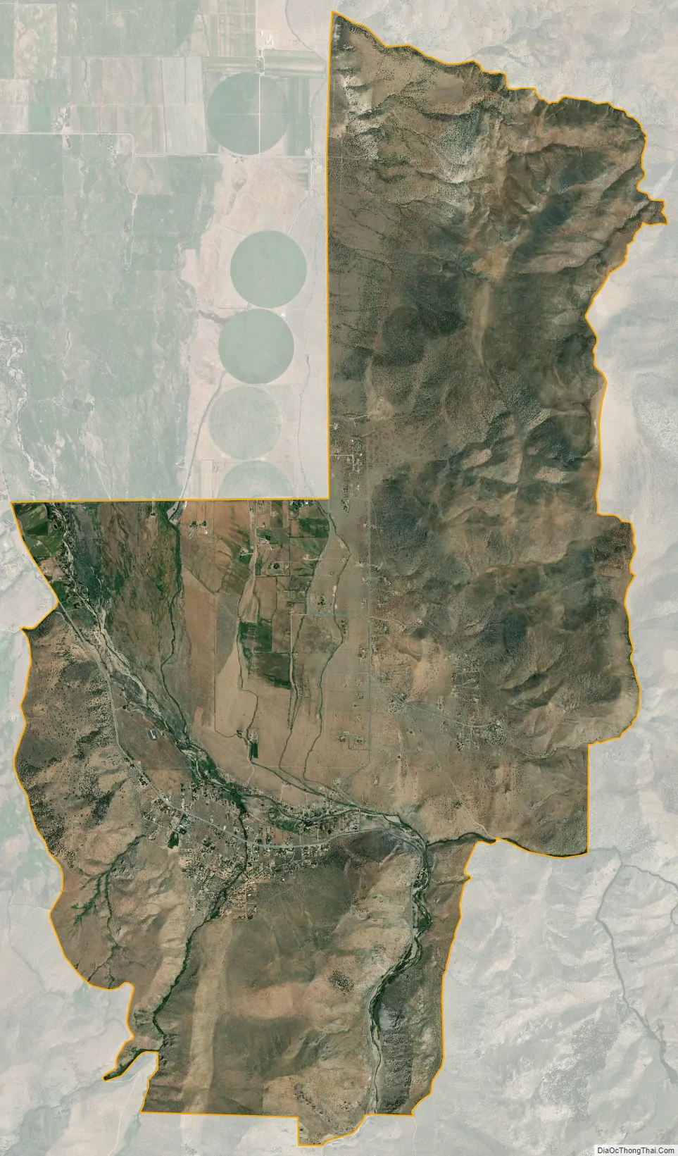
Walker city Satellite Map
Geography
Walker is one of the three northernmost communities in Mono County. It is bordered to the north by Coleville, which in turn is bordered to the north by Topaz. According to the Mono County government, Antelope Valley, including Walker, is expected to see significant population growth.
U.S. Route 395 passes through Walker, leading north 50 miles (80 km) to Carson City, Nevada, and southeast 30 miles (48 km) to Bridgeport, the Mono county seat.
According to the United States Census Bureau, the CDP covers an area of 12.2 square miles (32 km), all of it land. Walker is situated at the south end of the Antelope Valley, drained to the north by the West Walker River.
See also
Map of California State and its subdivision:- Alameda
- Alpine
- Amador
- Butte
- Calaveras
- Colusa
- Contra Costa
- Del Norte
- El Dorado
- Fresno
- Glenn
- Humboldt
- Imperial
- Inyo
- Kern
- Kings
- Lake
- Lassen
- Los Angeles
- Madera
- Marin
- Mariposa
- Mendocino
- Merced
- Modoc
- Mono
- Monterey
- Napa
- Nevada
- Orange
- Placer
- Plumas
- Riverside
- Sacramento
- San Benito
- San Bernardino
- San Diego
- San Francisco
- San Joaquin
- San Luis Obispo
- San Mateo
- Santa Barbara
- Santa Clara
- Santa Cruz
- Shasta
- Sierra
- Siskiyou
- Solano
- Sonoma
- Stanislaus
- Sutter
- Tehama
- Trinity
- Tulare
- Tuolumne
- Ventura
- Yolo
- Yuba
- Alabama
- Alaska
- Arizona
- Arkansas
- California
- Colorado
- Connecticut
- Delaware
- District of Columbia
- Florida
- Georgia
- Hawaii
- Idaho
- Illinois
- Indiana
- Iowa
- Kansas
- Kentucky
- Louisiana
- Maine
- Maryland
- Massachusetts
- Michigan
- Minnesota
- Mississippi
- Missouri
- Montana
- Nebraska
- Nevada
- New Hampshire
- New Jersey
- New Mexico
- New York
- North Carolina
- North Dakota
- Ohio
- Oklahoma
- Oregon
- Pennsylvania
- Rhode Island
- South Carolina
- South Dakota
- Tennessee
- Texas
- Utah
- Vermont
- Virginia
- Washington
- West Virginia
- Wisconsin
- Wyoming