West Carson is an unincorporated community in Los Angeles County, California. The population was 21,699 at the 2010 census, up from 21,138 at the 2000 census. For statistical purposes, the United States Census Bureau has defined West Carson as a census-designated place (CDP).
| Name: | West Carson CDP |
|---|---|
| LSAD Code: | 57 |
| LSAD Description: | CDP (suffix) |
| State: | California |
| County: | Los Angeles County |
| Elevation: | 43 ft (13 m) |
| Total Area: | 2.279 sq mi (5.902 km²) |
| Land Area: | 2.266 sq mi (5.869 km²) |
| Water Area: | 0.013 sq mi (0.033 km²) 0.56% |
| Total Population: | 21,699 |
| Population Density: | 9,500/sq mi (3,700/km²) |
| ZIP code: | 90502 (Torrance P.O.) 90710 (Harbor City P.O.) |
| FIPS code: | 0684144 |
| GNISfeature ID: | 1867069 |
Online Interactive Map
Click on ![]() to view map in "full screen" mode.
to view map in "full screen" mode.
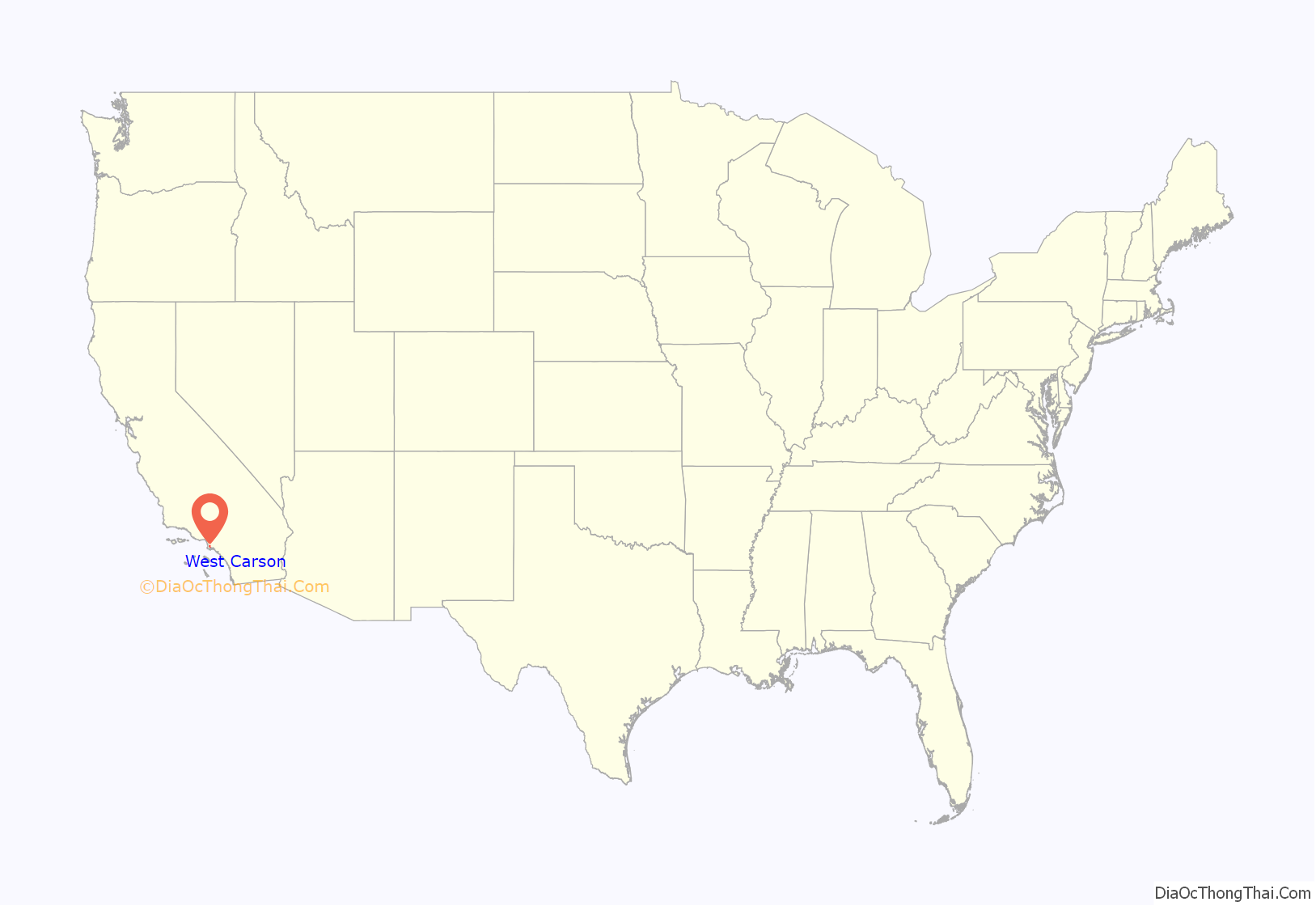
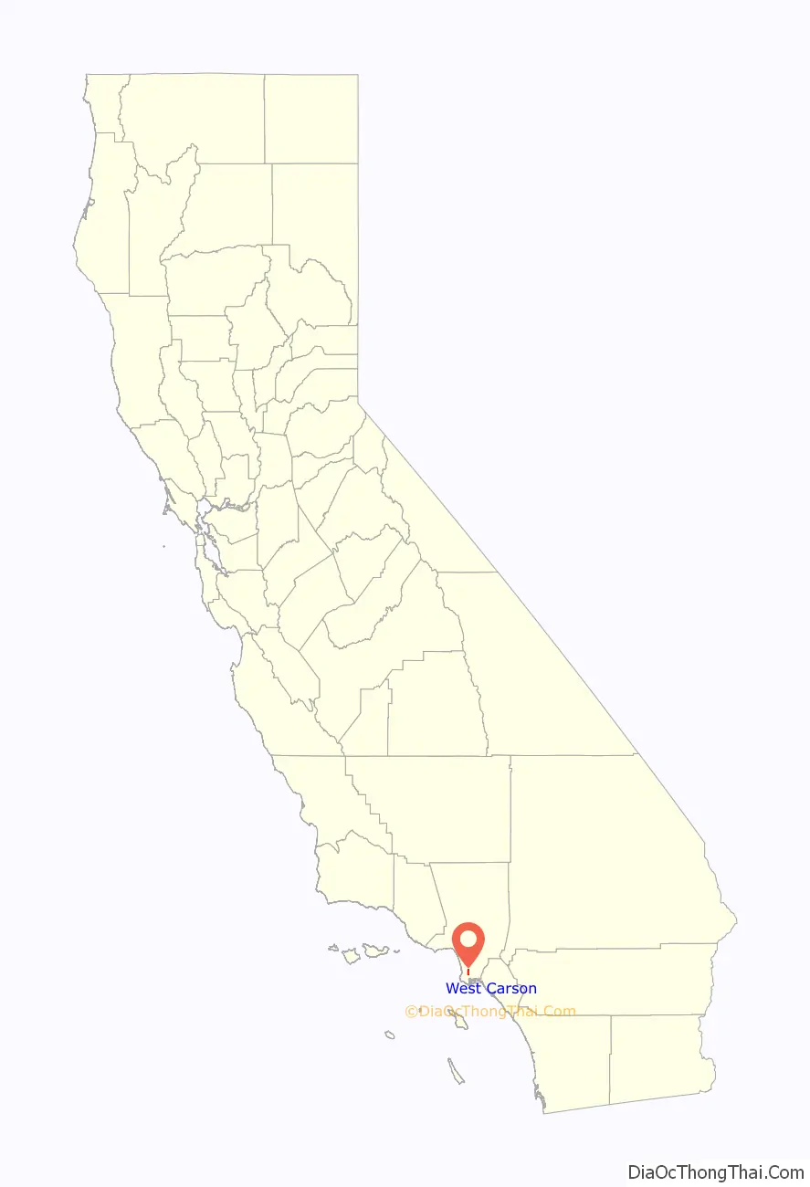
West Carson location map. Where is West Carson CDP?
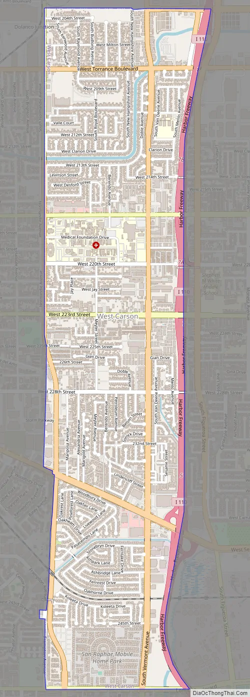
West Carson Road Map
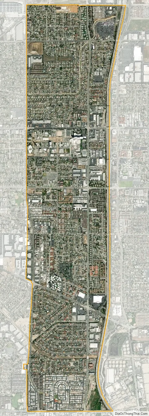
West Carson city Satellite Map
Geography
The area is bounded on the east by the city of Carson along the Harbor Freeway (Interstate 110). The area is bounded on the other three sides by the city of Los Angeles. Del Amo Boulevard is the north boundary with the neighborhood of Harbor Gateway. Lomita Boulevard is the south boundary with the neighborhood of Harbor City. The west boundary along Normandie Avenue is shared by both Los Angeles neighborhoods.
The ZIP Code encompassing most of the area is 90502 which the United States Postal Service designates as a Torrance mailing address after the city that lies to the west over the Los Angeles strip. The southern portion shares the 90710 ZIP Code with the Harbor City neighborhood.
According to the United States Census Bureau, the CDP has a total area of 2.3 square miles (6.0 km), over 99% of it land.
See also
Map of California State and its subdivision:- Alameda
- Alpine
- Amador
- Butte
- Calaveras
- Colusa
- Contra Costa
- Del Norte
- El Dorado
- Fresno
- Glenn
- Humboldt
- Imperial
- Inyo
- Kern
- Kings
- Lake
- Lassen
- Los Angeles
- Madera
- Marin
- Mariposa
- Mendocino
- Merced
- Modoc
- Mono
- Monterey
- Napa
- Nevada
- Orange
- Placer
- Plumas
- Riverside
- Sacramento
- San Benito
- San Bernardino
- San Diego
- San Francisco
- San Joaquin
- San Luis Obispo
- San Mateo
- Santa Barbara
- Santa Clara
- Santa Cruz
- Shasta
- Sierra
- Siskiyou
- Solano
- Sonoma
- Stanislaus
- Sutter
- Tehama
- Trinity
- Tulare
- Tuolumne
- Ventura
- Yolo
- Yuba
- Alabama
- Alaska
- Arizona
- Arkansas
- California
- Colorado
- Connecticut
- Delaware
- District of Columbia
- Florida
- Georgia
- Hawaii
- Idaho
- Illinois
- Indiana
- Iowa
- Kansas
- Kentucky
- Louisiana
- Maine
- Maryland
- Massachusetts
- Michigan
- Minnesota
- Mississippi
- Missouri
- Montana
- Nebraska
- Nevada
- New Hampshire
- New Jersey
- New Mexico
- New York
- North Carolina
- North Dakota
- Ohio
- Oklahoma
- Oregon
- Pennsylvania
- Rhode Island
- South Carolina
- South Dakota
- Tennessee
- Texas
- Utah
- Vermont
- Virginia
- Washington
- West Virginia
- Wisconsin
- Wyoming


