West Whittier-Los Nietos (pronunciation) is a census-designated place (CDP) in Los Angeles County, California, near the San Gabriel River and the San Gabriel River (I-605) Freeway. The population was 25,540 at the 2010 census, up from 25,129 at the 2000 census. The census area consists of separate unincorporated communities of Los Nietos (Spanish for “the grandchildren”) and West Whittier.
| Name: | West Whittier-Los Nietos CDP |
|---|---|
| LSAD Code: | 57 |
| LSAD Description: | CDP (suffix) |
| State: | California |
| County: | Los Angeles County |
| Total Area: | 2.519 sq mi (6.524 km²) |
| Land Area: | 2.519 sq mi (6.524 km²) |
| Water Area: | 0 sq mi (0 km²) 0% |
| Total Population: | 25,540 |
| Population Density: | 10,000/sq mi (3,900/km²) |
| ZIP code: | 90606 |
| Area code: | 562 |
| FIPS code: | 0684921 |
| GNISfeature ID: | 2409570 |
Online Interactive Map
Click on ![]() to view map in "full screen" mode.
to view map in "full screen" mode.
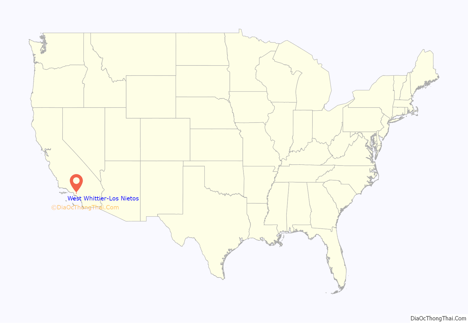
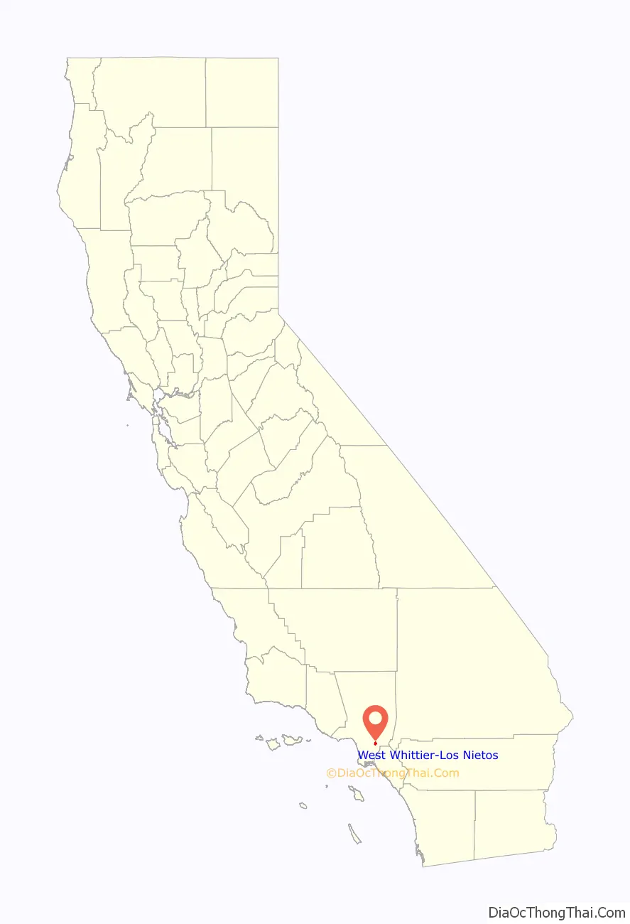
West Whittier-Los Nietos location map. Where is West Whittier-Los Nietos CDP?
History
Los Nietos is among the oldest communities in Southern California. The Los Nietos School District was established in 1861 and a Methodist circuit centered on the city was founded in 1867.
The community grew up around the Rancho Los Nietos and its constituent rancho Rancho Santa Gertrudes. Los Nietos was listed as a township in the 1860 and 1870 census, with its area comprising most of the old Rancho Los Nietos, thereby stretching from the Puente Hills south to Long Beach. Census records report a population of 605 in 1860 and 1,544 in 1870.
From the 1950s to the 1980s the community was served by the Whittier Downs Shopping Center.
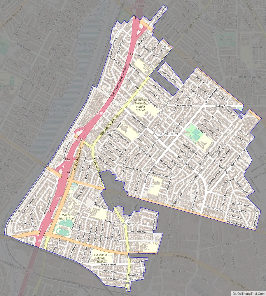
West Whittier-Los Nietos Road Map
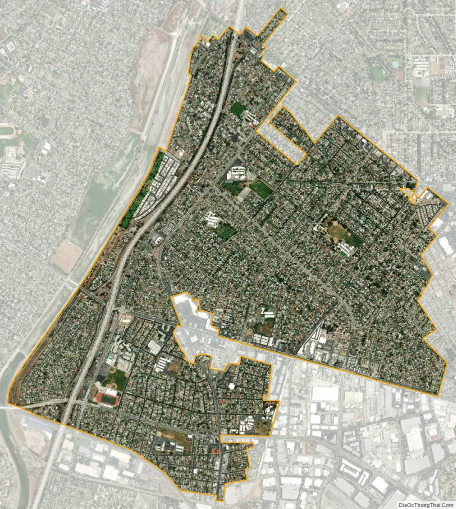
West Whittier-Los Nietos city Satellite Map
Geography
West Whittier-Los Nietos is located at 33°58′34″N 118°4′8″W / 33.97611°N 118.06889°W / 33.97611; -118.06889 (33.976113, -118.069000), or about three miles (5 km) northwest of Whittier.
According to the United States Census Bureau, the CDP has a total area of 2.5 square miles (6.5 km), all land.
See also
Map of California State and its subdivision:- Alameda
- Alpine
- Amador
- Butte
- Calaveras
- Colusa
- Contra Costa
- Del Norte
- El Dorado
- Fresno
- Glenn
- Humboldt
- Imperial
- Inyo
- Kern
- Kings
- Lake
- Lassen
- Los Angeles
- Madera
- Marin
- Mariposa
- Mendocino
- Merced
- Modoc
- Mono
- Monterey
- Napa
- Nevada
- Orange
- Placer
- Plumas
- Riverside
- Sacramento
- San Benito
- San Bernardino
- San Diego
- San Francisco
- San Joaquin
- San Luis Obispo
- San Mateo
- Santa Barbara
- Santa Clara
- Santa Cruz
- Shasta
- Sierra
- Siskiyou
- Solano
- Sonoma
- Stanislaus
- Sutter
- Tehama
- Trinity
- Tulare
- Tuolumne
- Ventura
- Yolo
- Yuba
- Alabama
- Alaska
- Arizona
- Arkansas
- California
- Colorado
- Connecticut
- Delaware
- District of Columbia
- Florida
- Georgia
- Hawaii
- Idaho
- Illinois
- Indiana
- Iowa
- Kansas
- Kentucky
- Louisiana
- Maine
- Maryland
- Massachusetts
- Michigan
- Minnesota
- Mississippi
- Missouri
- Montana
- Nebraska
- Nevada
- New Hampshire
- New Jersey
- New Mexico
- New York
- North Carolina
- North Dakota
- Ohio
- Oklahoma
- Oregon
- Pennsylvania
- Rhode Island
- South Carolina
- South Dakota
- Tennessee
- Texas
- Utah
- Vermont
- Virginia
- Washington
- West Virginia
- Wisconsin
- Wyoming


