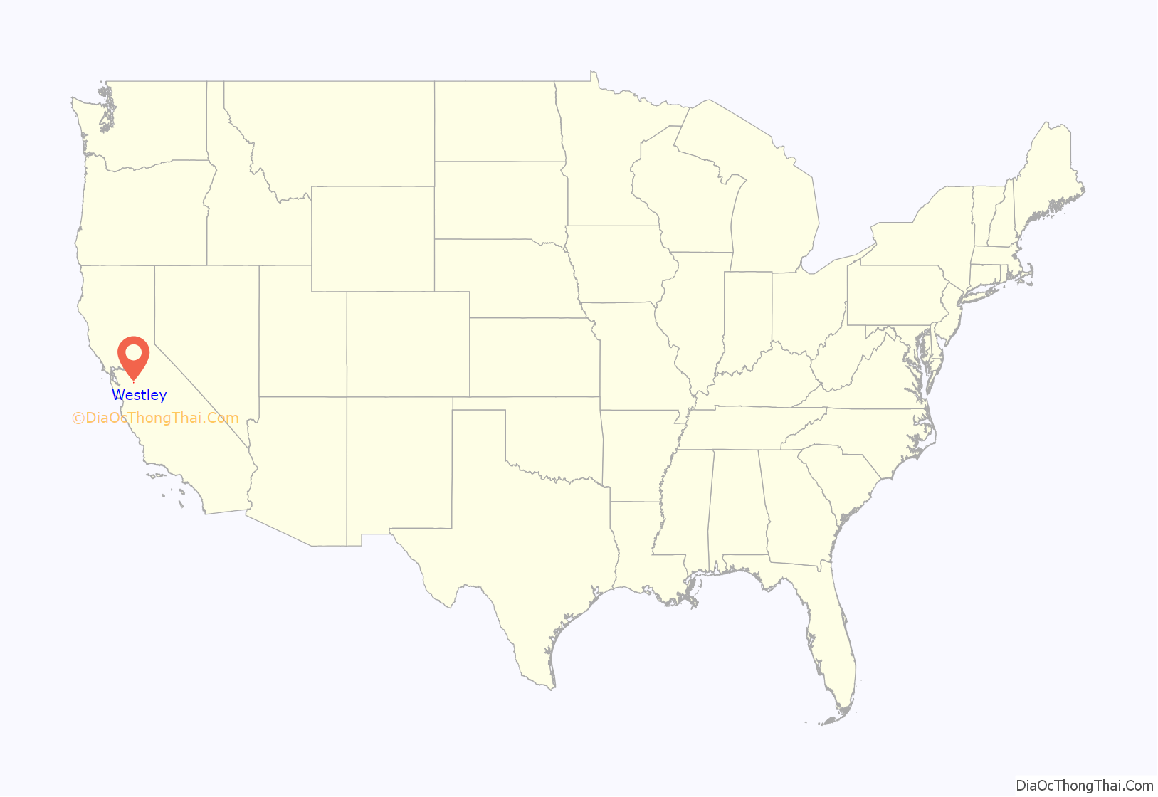
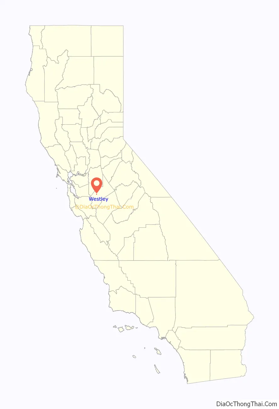
Westley is a census-designated place (CDP) in Stanislaus County, California. The population was 603 at the 2010 census, down from 747 at the 2000 census. It is part of the Modesto Metropolitan Statistical Area.
| Name: | Westley CDP |
|---|---|
| LSAD Code: | 57 |
| LSAD Description: | CDP (suffix) |
| State: | California |
| County: | Stanislaus County |
| Elevation: | 89 ft (27 m) |
| Total Area: | 1.743 sq mi (4.515 km²) |
| Land Area: | 1.743 sq mi (4.515 km²) |
| Water Area: | 0 sq mi (0 km²) 0% |
| Total Population: | 603 |
| ZIP code: | 95387 |
| Area code: | 209 |
| FIPS code: | 0684480 |
| GNISfeature ID: | 0237554 |
Online Interactive Map
Click on ![]() to view map in "full screen" mode.
to view map in "full screen" mode.
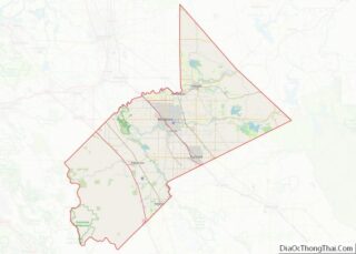
Westley location map. Where is Westley CDP?
History
The Oxford Tire Pile
Oxford Energy had a major stake in a major local scrap tire pile operation. It was the largest single collection of waste tires on the west coast, when it mostly burnt down in 1997.
Filbin had begun trucking used tires into Ed’s Tire Disposal even before construction of I-5, the road being built between 1956 and 1979, depending on location. Oxford Energy had begun dumping near Westley in various piles since the 1950s.
Oxford Energy officials heard about it causing an eyesore and environmental blight in 1984 and approached both Filbin and the county, proposing the tire-to-energy project, but it was turned down on environmental grounds.
It was under a 24 hour security guarding regime in 1987.
About 10,000-20,000 tires were being dumped there each day during 1987.
In 1997, when dump had grown to about 6,000,000 tires during 1997 the state stepped in under a special local legislative mandate to dispose of them.
Shortly after the local photographer, Mr Burtynsky, had photographed Oxford Pile #8 during 1997, a lightning strike in the facility started a fire in the old tire pile that took weeks to extinguish.
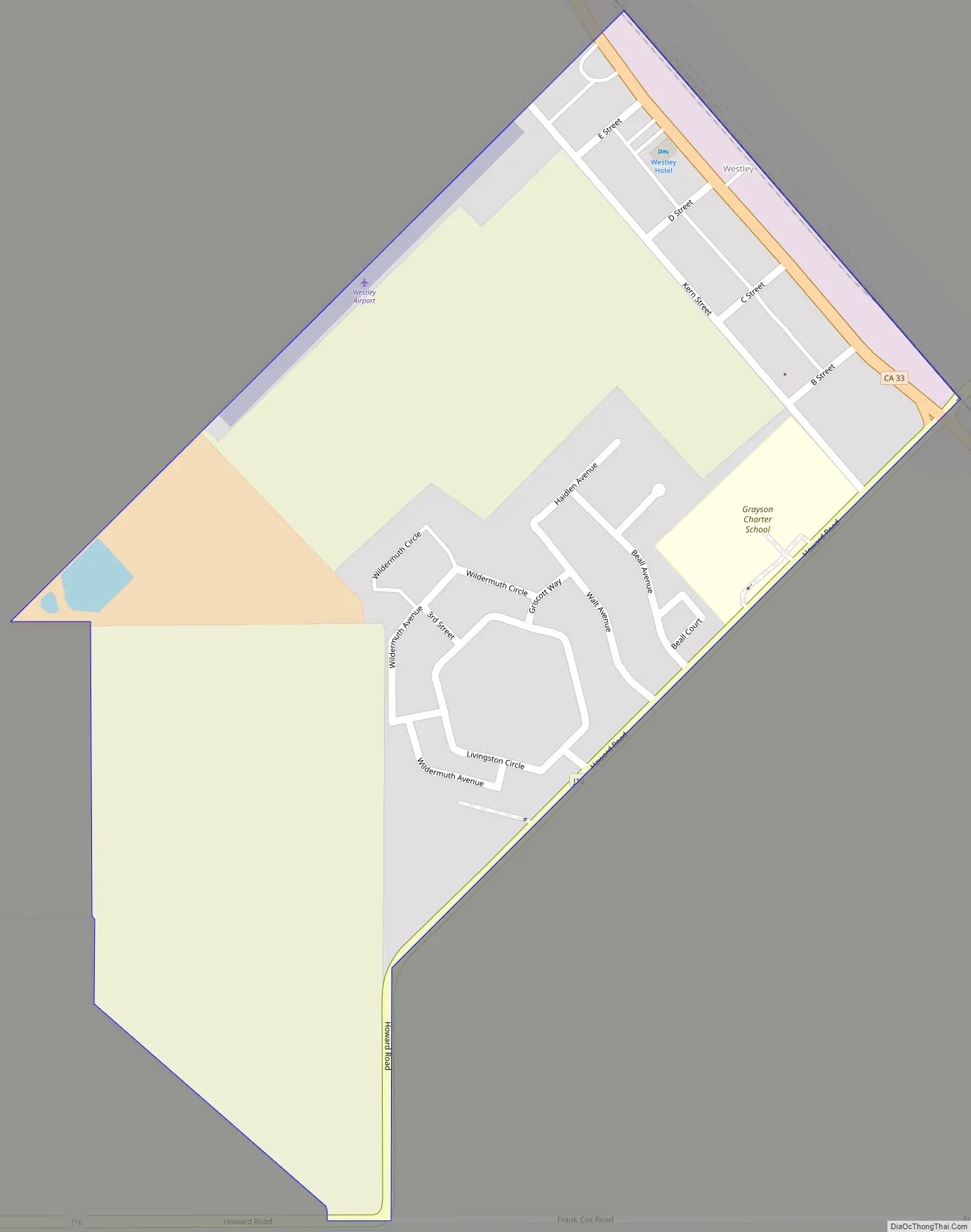
Westley Road Map
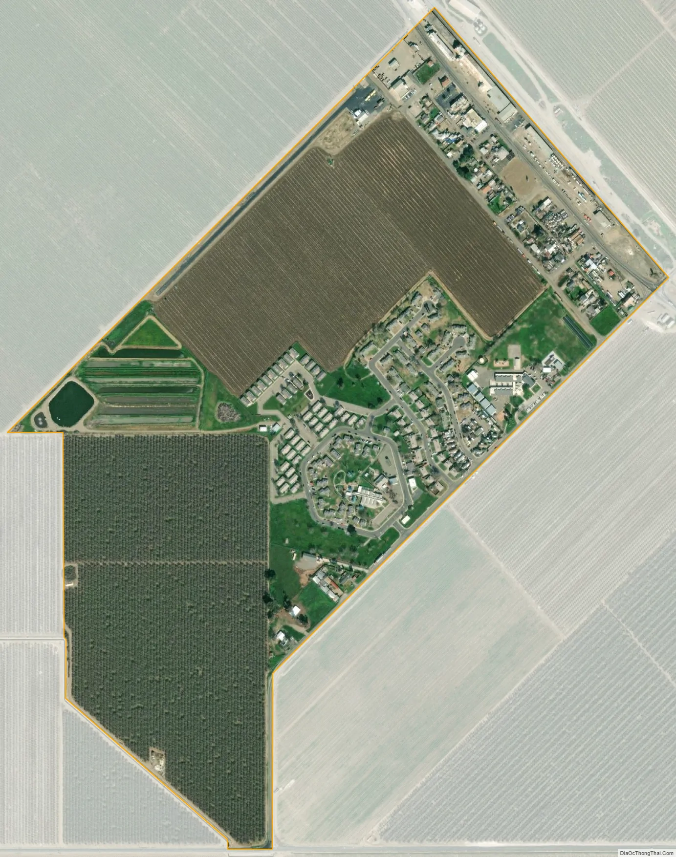
Westley city Satellite Map
Geography
Westley is located at 37°32′54″N 121°12′5″W / 37.54833°N 121.20139°W / 37.54833; -121.20139 (37.548255, -121.201264). According to the United States Census Bureau, the CDP has a total area of 1.7 square miles (4.4 km), all of it land.
Westley lies at the base of the Diablo Range, in the vicinity of Ingram Creek. Somewhat nearby is the San Joaquin Fault. East of the San Joaquin Fault there is a flow pattern of alluvium reported as a mud flow. This flow pattern was deposited in the early Holocene period or the late Pleistocene.
See also
Map of California State and its subdivision:- Alameda
- Alpine
- Amador
- Butte
- Calaveras
- Colusa
- Contra Costa
- Del Norte
- El Dorado
- Fresno
- Glenn
- Humboldt
- Imperial
- Inyo
- Kern
- Kings
- Lake
- Lassen
- Los Angeles
- Madera
- Marin
- Mariposa
- Mendocino
- Merced
- Modoc
- Mono
- Monterey
- Napa
- Nevada
- Orange
- Placer
- Plumas
- Riverside
- Sacramento
- San Benito
- San Bernardino
- San Diego
- San Francisco
- San Joaquin
- San Luis Obispo
- San Mateo
- Santa Barbara
- Santa Clara
- Santa Cruz
- Shasta
- Sierra
- Siskiyou
- Solano
- Sonoma
- Stanislaus
- Sutter
- Tehama
- Trinity
- Tulare
- Tuolumne
- Ventura
- Yolo
- Yuba
- Alabama
- Alaska
- Arizona
- Arkansas
- California
- Colorado
- Connecticut
- Delaware
- District of Columbia
- Florida
- Georgia
- Hawaii
- Idaho
- Illinois
- Indiana
- Iowa
- Kansas
- Kentucky
- Louisiana
- Maine
- Maryland
- Massachusetts
- Michigan
- Minnesota
- Mississippi
- Missouri
- Montana
- Nebraska
- Nevada
- New Hampshire
- New Jersey
- New Mexico
- New York
- North Carolina
- North Dakota
- Ohio
- Oklahoma
- Oregon
- Pennsylvania
- Rhode Island
- South Carolina
- South Dakota
- Tennessee
- Texas
- Utah
- Vermont
- Virginia
- Washington
- West Virginia
- Wisconsin
- Wyoming