Westmont is an unincorporated community in Los Angeles County, California, a part of the South Los Angeles area, just east of Inglewood. The population was 33,913 at the 2020 census, up from 31,853 at the 2010 census. For statistical purposes, the United States Census Bureau has defined Westmont as a census-designated place (CDP).
| Name: | Westmont CDP |
|---|---|
| LSAD Code: | 57 |
| LSAD Description: | CDP (suffix) |
| State: | California |
| County: | Los Angeles County |
| Elevation: | 217 ft (66 m) |
| Total Area: | 1.848 sq mi (4.785 km²) |
| Land Area: | 1.848 sq mi (4.785 km²) |
| Water Area: | 0 sq mi (0 km²) 0% |
| Total Population: | 33,913 |
| Population Density: | 18,000/sq mi (7,100/km²) |
| ZIP code: | 90047 |
| FIPS code: | 0684592 |
| GNISfeature ID: | 1867072 |
Online Interactive Map
Click on ![]() to view map in "full screen" mode.
to view map in "full screen" mode.
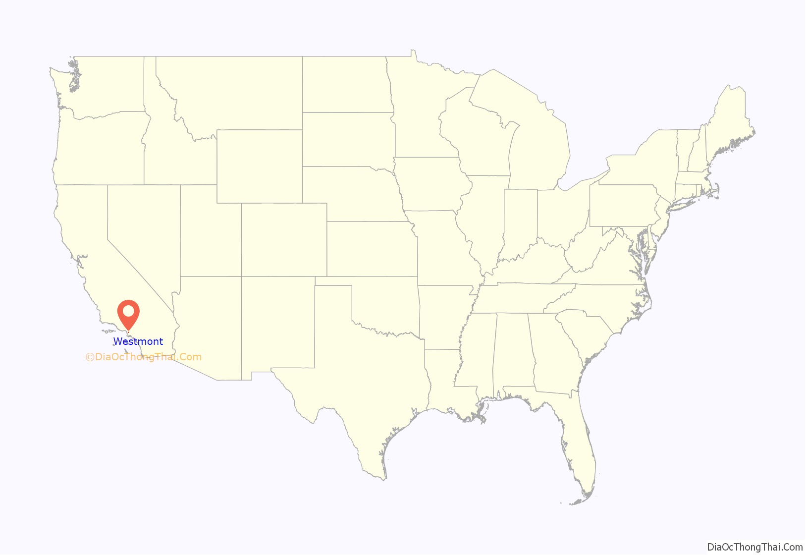
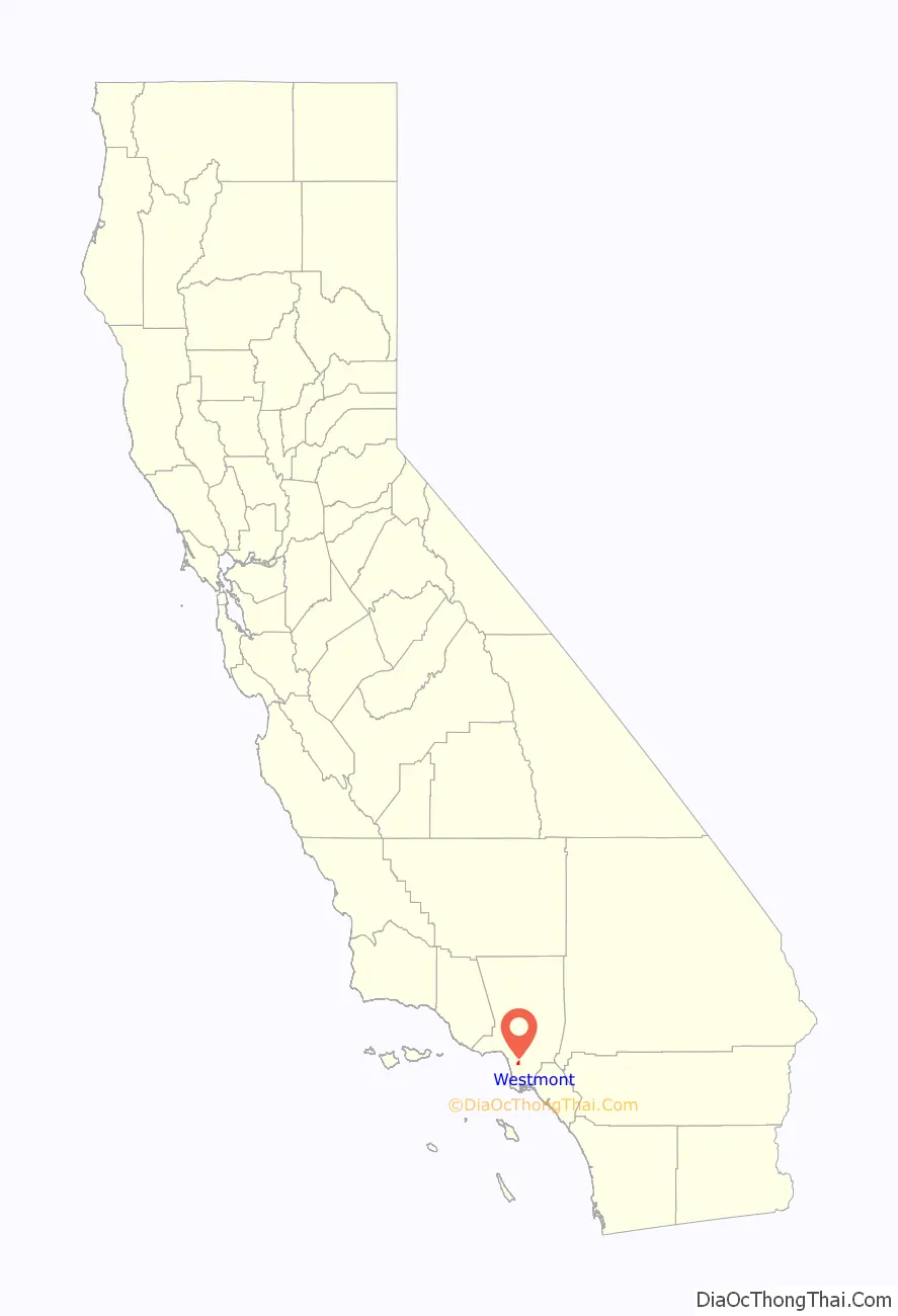
Westmont location map. Where is Westmont CDP?
History
In 2009, Westmont was the subject of a feature story by Hector Tobar in the Los Angeles Times who wrote that the community was “officially (but rarely) called Westmont” but that it had “no “‘mont,’ not even a hill. It got its name, it seems, from being west of Vermont Avenue.” Tobar noted that Westmont’s unemployment rate was at the time “a staggering 23.6%, the highest in Los Angeles County.”
Five years later, the strip of Vermont Avenue which is shared between Westmont and Vermont Vista was called “death alley” by the newspaper because during the past seven years sixty people had been killed by violence on that two-mile stretch. It remained at the highest rate of killings of any neighborhood in Los Angeles County.
The 2014 article stated that “The area was long been controlled by a gang named the Underground Crips, whose members would, in more violent days, walk across Normandie Avenue to shoot at rivals.”
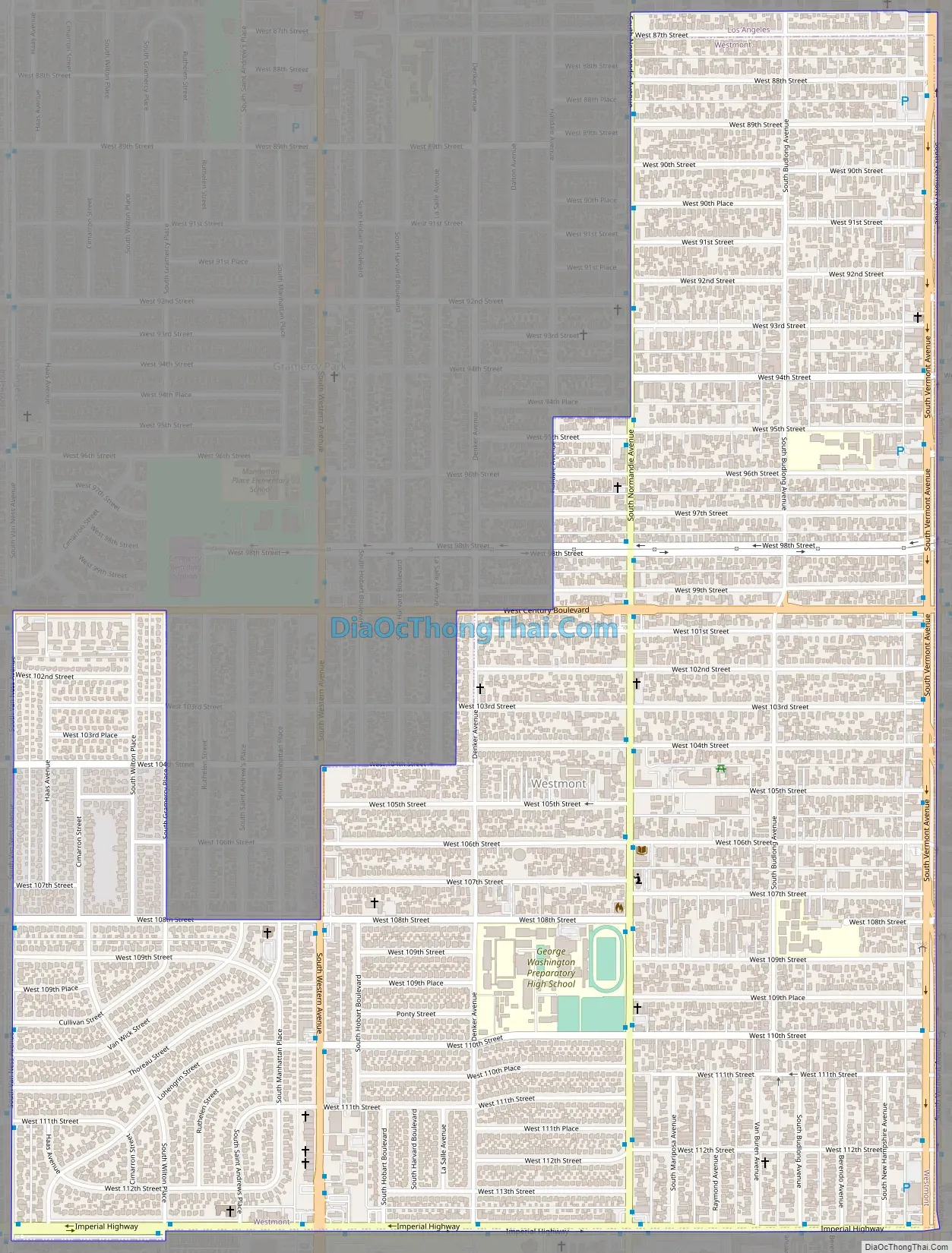
Westmont Road Map
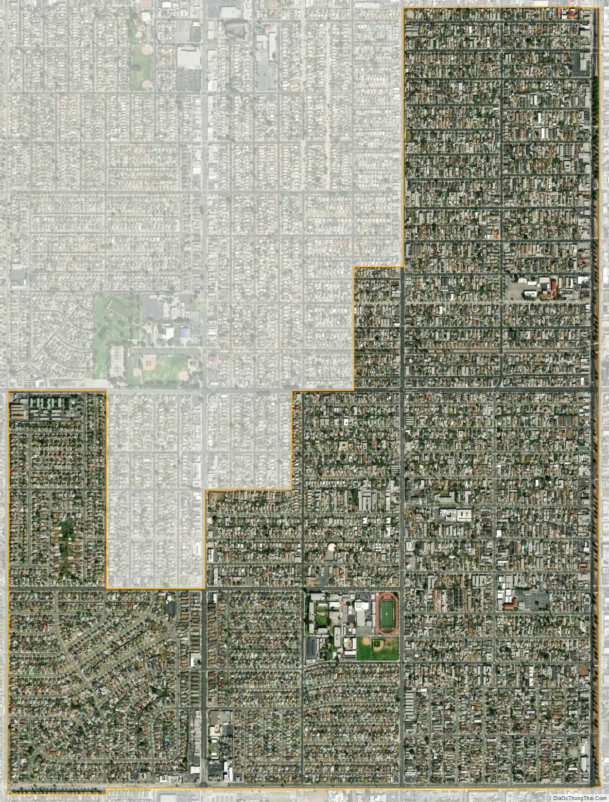
Westmont city Satellite Map
Geography
Westmont has a total area of 1.8 square miles (4.7 km), all land. It adjoins the Vermont Vista neighborhood of the city of Los Angeles.
See also
Map of California State and its subdivision:- Alameda
- Alpine
- Amador
- Butte
- Calaveras
- Colusa
- Contra Costa
- Del Norte
- El Dorado
- Fresno
- Glenn
- Humboldt
- Imperial
- Inyo
- Kern
- Kings
- Lake
- Lassen
- Los Angeles
- Madera
- Marin
- Mariposa
- Mendocino
- Merced
- Modoc
- Mono
- Monterey
- Napa
- Nevada
- Orange
- Placer
- Plumas
- Riverside
- Sacramento
- San Benito
- San Bernardino
- San Diego
- San Francisco
- San Joaquin
- San Luis Obispo
- San Mateo
- Santa Barbara
- Santa Clara
- Santa Cruz
- Shasta
- Sierra
- Siskiyou
- Solano
- Sonoma
- Stanislaus
- Sutter
- Tehama
- Trinity
- Tulare
- Tuolumne
- Ventura
- Yolo
- Yuba
- Alabama
- Alaska
- Arizona
- Arkansas
- California
- Colorado
- Connecticut
- Delaware
- District of Columbia
- Florida
- Georgia
- Hawaii
- Idaho
- Illinois
- Indiana
- Iowa
- Kansas
- Kentucky
- Louisiana
- Maine
- Maryland
- Massachusetts
- Michigan
- Minnesota
- Mississippi
- Missouri
- Montana
- Nebraska
- Nevada
- New Hampshire
- New Jersey
- New Mexico
- New York
- North Carolina
- North Dakota
- Ohio
- Oklahoma
- Oregon
- Pennsylvania
- Rhode Island
- South Carolina
- South Dakota
- Tennessee
- Texas
- Utah
- Vermont
- Virginia
- Washington
- West Virginia
- Wisconsin
- Wyoming


