Wilton is a census-designated place (CDP) in Sacramento County, California, United States. It is part of the Sacramento–Arden-Arcade–Roseville Metropolitan Statistical Area. The population was 5,363 at the 2010 census, up from 4,551 at the 2000 census.
| Name: | Wilton CDP |
|---|---|
| LSAD Code: | 57 |
| LSAD Description: | CDP (suffix) |
| State: | California |
| County: | Sacramento County |
| Elevation: | 79 ft (24 m) |
| Total Area: | 29.002 sq mi (75.11 km²) |
| Land Area: | 29.002 sq mi (75.11 km²) |
| Water Area: | 0 sq mi (0 km²) 0% |
| Total Population: | 5,958 |
| ZIP code: | 95693 |
| Area code: | 916, 279 |
| FIPS code: | 0685880 |
| GNISfeature ID: | 1652655 |
Online Interactive Map
Click on ![]() to view map in "full screen" mode.
to view map in "full screen" mode.
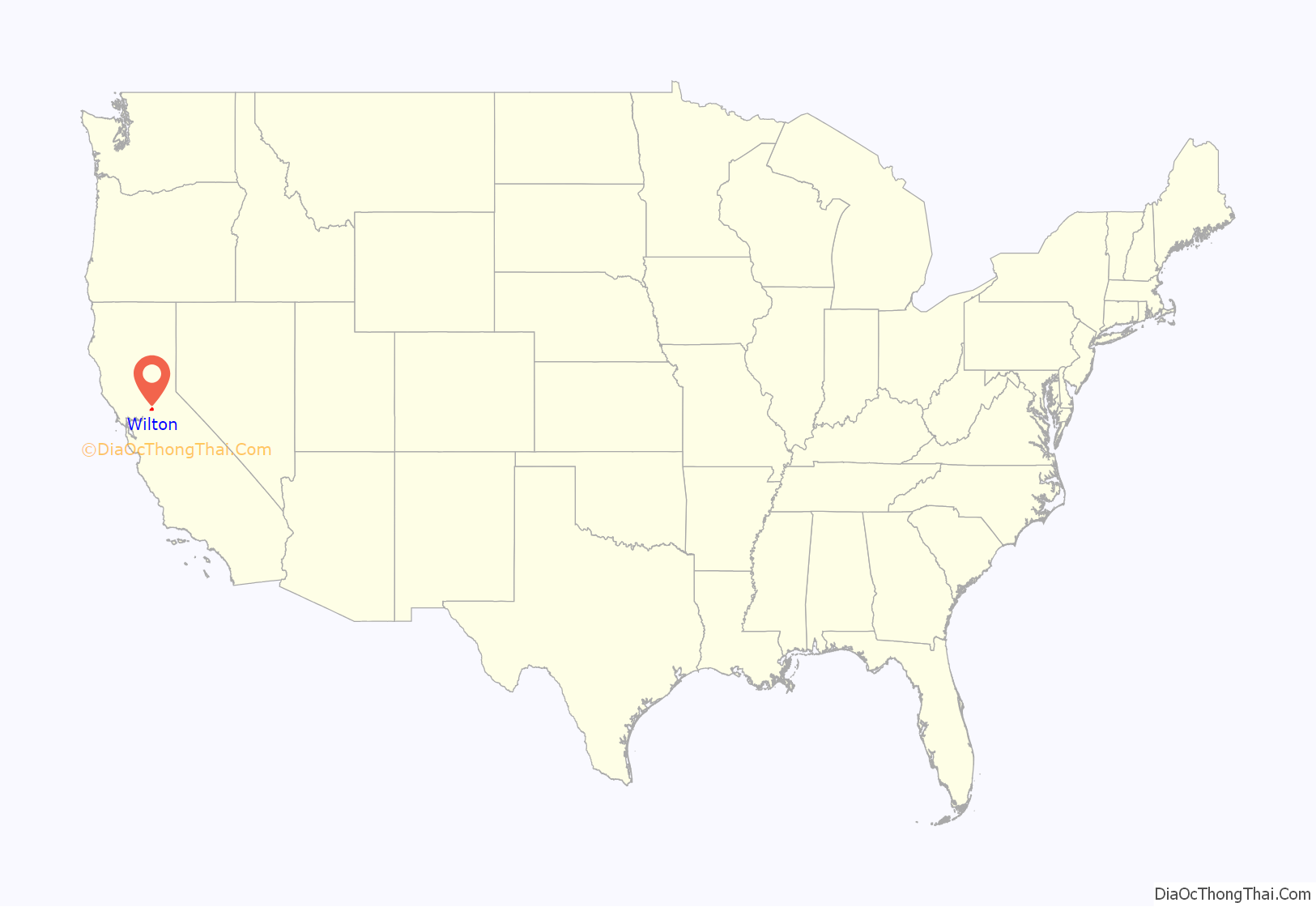
Wilton location map. Where is Wilton CDP?
Wilton Road Map
Wilton city Satellite Map
Geography
Wilton is located at 38°24′34″N 121°13′27″W / 38.40944°N 121.22417°W / 38.40944; -121.22417 (38.409556, -121.224264). According to the United States Census Bureau, the CDP has a total area of 29.0 square miles (75 km), all of it land.
Historically the Wilton vicinity has been a locale of considerable haying and pasture usage; the depth to groundwater is typically about 150 to 175 feet (46 to 53 meters).
Wilton lies partially in the floodplain of the Cosumnes River. Because some areas of Wilton are in a flood zone, water can be in the streets during the rainy season. In 1997, an El Nino/La Nina year, levees broke and some homes were flooded to the rooftops. On New Years Eve of 2022, parts of Wilton were evacuated due to a flood warning after levee breaches on the Cosumnes River.
See also
Map of California State and its subdivision:- Alameda
- Alpine
- Amador
- Butte
- Calaveras
- Colusa
- Contra Costa
- Del Norte
- El Dorado
- Fresno
- Glenn
- Humboldt
- Imperial
- Inyo
- Kern
- Kings
- Lake
- Lassen
- Los Angeles
- Madera
- Marin
- Mariposa
- Mendocino
- Merced
- Modoc
- Mono
- Monterey
- Napa
- Nevada
- Orange
- Placer
- Plumas
- Riverside
- Sacramento
- San Benito
- San Bernardino
- San Diego
- San Francisco
- San Joaquin
- San Luis Obispo
- San Mateo
- Santa Barbara
- Santa Clara
- Santa Cruz
- Shasta
- Sierra
- Siskiyou
- Solano
- Sonoma
- Stanislaus
- Sutter
- Tehama
- Trinity
- Tulare
- Tuolumne
- Ventura
- Yolo
- Yuba
- Alabama
- Alaska
- Arizona
- Arkansas
- California
- Colorado
- Connecticut
- Delaware
- District of Columbia
- Florida
- Georgia
- Hawaii
- Idaho
- Illinois
- Indiana
- Iowa
- Kansas
- Kentucky
- Louisiana
- Maine
- Maryland
- Massachusetts
- Michigan
- Minnesota
- Mississippi
- Missouri
- Montana
- Nebraska
- Nevada
- New Hampshire
- New Jersey
- New Mexico
- New York
- North Carolina
- North Dakota
- Ohio
- Oklahoma
- Oregon
- Pennsylvania
- Rhode Island
- South Carolina
- South Dakota
- Tennessee
- Texas
- Utah
- Vermont
- Virginia
- Washington
- West Virginia
- Wisconsin
- Wyoming
