Woodcrest is a census-designated place (CDP) in Riverside County, California, United States. The population was 14,347 at the 2010 census, up from 8,342 at the 2000 United States Census. The adjacent city of Riverside lists Woodcrest as an area for potential annexation.
| Name: | Woodcrest CDP |
|---|---|
| LSAD Code: | 57 |
| LSAD Description: | CDP (suffix) |
| State: | California |
| County: | Riverside County |
| Elevation: | 1,535 ft (468 m) |
| Total Area: | 11.410 sq mi (29.552 km²) |
| Land Area: | 11.410 sq mi (29.552 km²) |
| Water Area: | 0 sq mi (0 km²) 0% |
| Total Population: | 14,347 |
| Population Density: | 1,300/sq mi (490/km²) |
| ZIP code: | 92504, 92508 |
| Area code: | 951 |
| FIPS code: | 0686244 |
| GNISfeature ID: | 1652815 |
Online Interactive Map
Click on ![]() to view map in "full screen" mode.
to view map in "full screen" mode.
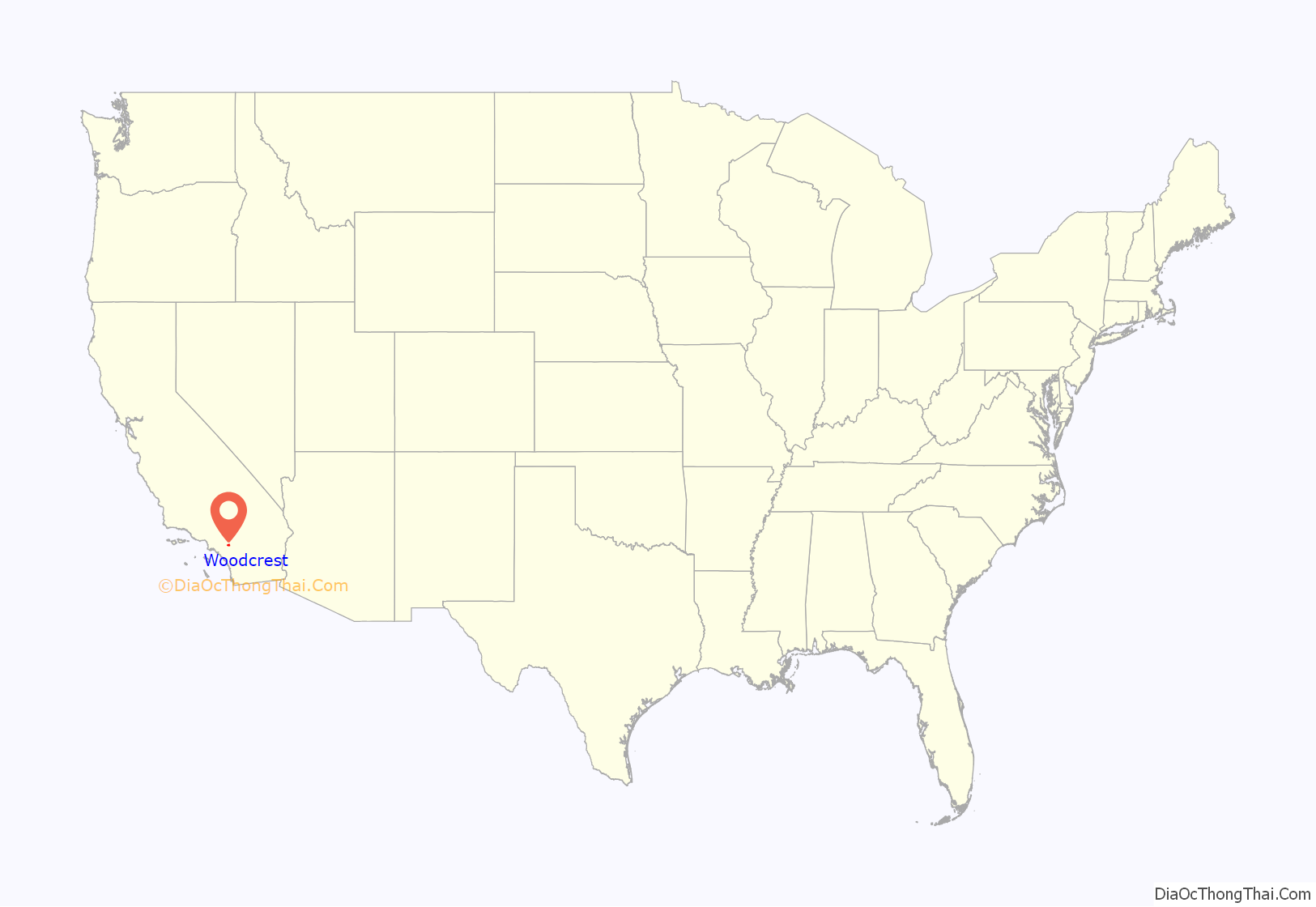
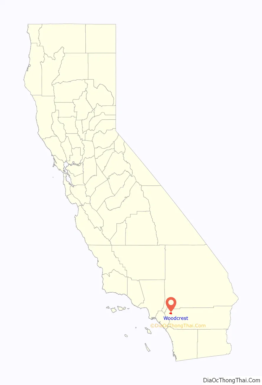
Woodcrest location map. Where is Woodcrest CDP?
History
The Woodcrest area was initially populated by dry land grain farmers in the late 19th century. In 1894, the population had grown enough for the Riverside County Board of Supervisors to establish a school in the area, and on February 6 of that year they authorized the Oak Glen School District.
In 1905 the first subdivision, the Oak Glen Tract, was created. The House Heights tract was formed in April 1924, and in May the Fertile Acres tract was created near the current Washington Street and Van Buren intersection. In February 1926, the first of five subdivisions with the name Woodcrest Acres was formed, and the name “Woodcrest” was subsequently given to the post office that was established later that year. Although the post office was closed in 1936, the Woodcrest name continued to be used to refer to the area from then on.
Water in the Woodcrest area became more affordable after the voters of Riverside, Corona, Lake Elsinore and surrounding unincorporated areas approved the formation of the Western Municipal Water District in 1955. Landowners began diversifying agriculture in the area. Although citrus groves within Riverside city limits were on the decline, groves in the Woodcrest area began to expand.
Beginning in the 1980s, population pressures and the availability of cheaper land resulted in the decline of agriculture in the Woodcrest area. Today, most orange groves in Woodcrest have given way to development. The citrus industry that was the foundation of Riverside and surrounding communities has nearly disappeared.
Etymology
“Wood” was the name, or part of the name, of several prominent property owners in the area, and the word was combined with “crest” because the original Woodcrest Acres tract was at the crest of the hills in the area. Susan Wood owned property around the current Wood Road, and is the person for whom the road was named in 1916. John C. Woodard owned 160 acres (0.65 km) off of current day Washington Street. For many years, one of the main routes from Riverside out to Woodcrest was referred to as Woodard Grade, or sometimes Woodward Grade, but the name was later lost when the county realigned the route with current day Washington Street. Additionally, two real estate promoters in the area were named Marie and Charles Wood.
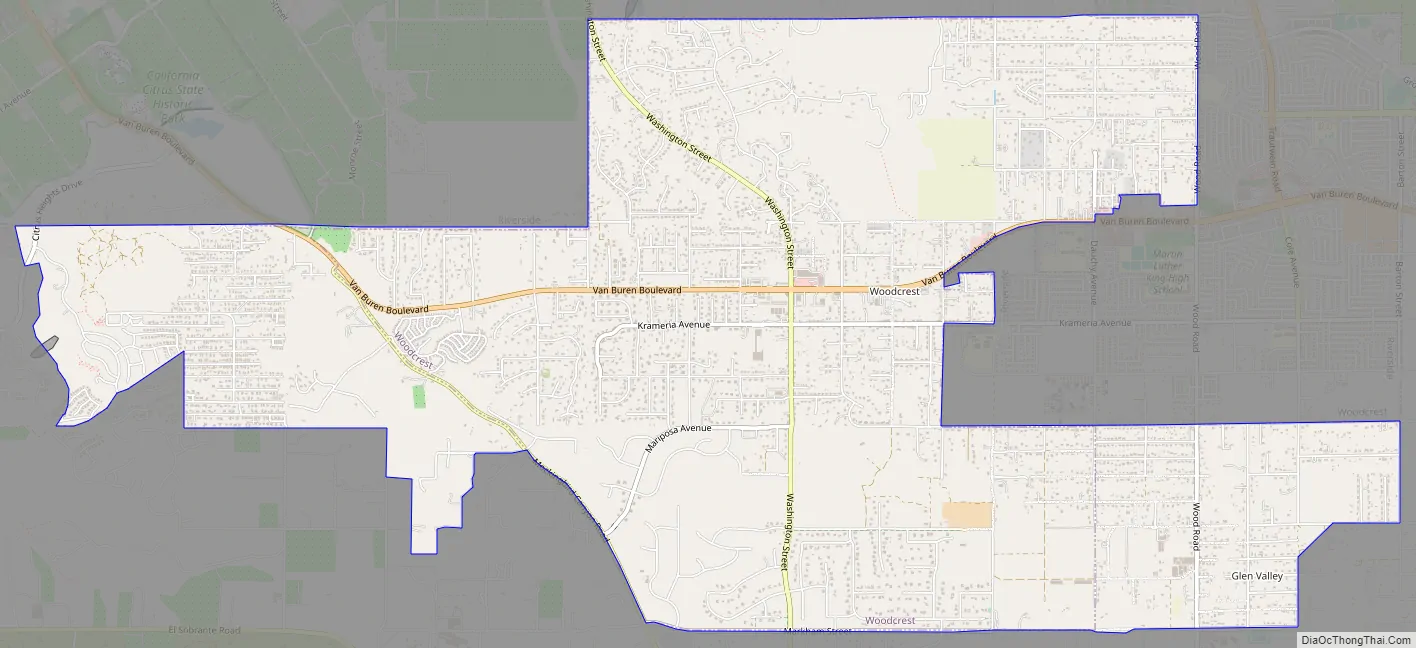
Woodcrest Road Map
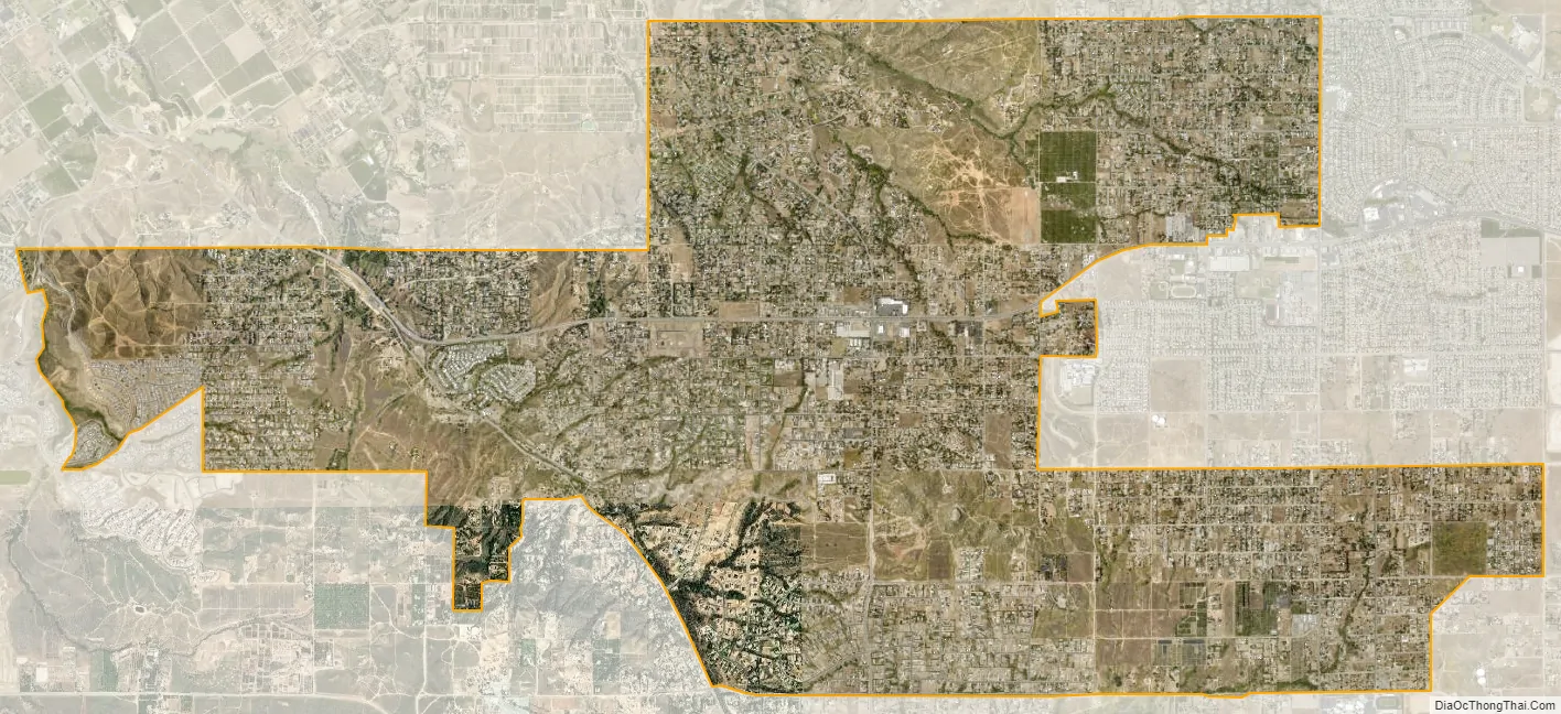
Woodcrest city Satellite Map
Geography
Woodcrest is located at 33°53′0″N 117°21′50″W / 33.88333°N 117.36389°W / 33.88333; -117.36389 (33.883366, -117.363825). Certain locations of Woodcrest reach higher than 2,000 feet (610 m) above sea level.
According to the United States Census Bureau, the CDP has a total area of 11.4 square miles (30 km), all of it land.
Woodcrest is also an equestrian community with many of its residences owning ranches and horses. However, many new housing developments are being built in Woodcrest due to the increasing population of Riverside.
See also
Map of California State and its subdivision:- Alameda
- Alpine
- Amador
- Butte
- Calaveras
- Colusa
- Contra Costa
- Del Norte
- El Dorado
- Fresno
- Glenn
- Humboldt
- Imperial
- Inyo
- Kern
- Kings
- Lake
- Lassen
- Los Angeles
- Madera
- Marin
- Mariposa
- Mendocino
- Merced
- Modoc
- Mono
- Monterey
- Napa
- Nevada
- Orange
- Placer
- Plumas
- Riverside
- Sacramento
- San Benito
- San Bernardino
- San Diego
- San Francisco
- San Joaquin
- San Luis Obispo
- San Mateo
- Santa Barbara
- Santa Clara
- Santa Cruz
- Shasta
- Sierra
- Siskiyou
- Solano
- Sonoma
- Stanislaus
- Sutter
- Tehama
- Trinity
- Tulare
- Tuolumne
- Ventura
- Yolo
- Yuba
- Alabama
- Alaska
- Arizona
- Arkansas
- California
- Colorado
- Connecticut
- Delaware
- District of Columbia
- Florida
- Georgia
- Hawaii
- Idaho
- Illinois
- Indiana
- Iowa
- Kansas
- Kentucky
- Louisiana
- Maine
- Maryland
- Massachusetts
- Michigan
- Minnesota
- Mississippi
- Missouri
- Montana
- Nebraska
- Nevada
- New Hampshire
- New Jersey
- New Mexico
- New York
- North Carolina
- North Dakota
- Ohio
- Oklahoma
- Oregon
- Pennsylvania
- Rhode Island
- South Carolina
- South Dakota
- Tennessee
- Texas
- Utah
- Vermont
- Virginia
- Washington
- West Virginia
- Wisconsin
- Wyoming


