Yolo (Wintun: Yo-loy) is an unincorporated community and census-designated place in Yolo County, California. It is located 4.9 miles northwest of the county seat, Woodland and 24 miles northwest of the state capital of Sacramento. Yolo’s ZIP Code is 95697 and its area code 530. It lies at an elevation of 82 feet (25 m). The population was 421 at the 2020 census.
| Name: | Yolo CDP |
|---|---|
| LSAD Code: | 57 |
| LSAD Description: | CDP (suffix) |
| State: | California |
| County: | Yolo County |
| Elevation: | 82 ft (25 m) |
| Total Area: | 1.380 sq mi (3.574 km²) |
| Land Area: | 1.380 sq mi (3.574 km²) |
| Water Area: | 0 sq mi (0 km²) 0% |
| Total Population: | 421 |
| Population Density: | 310/sq mi (120/km²) |
| FIPS code: | 0686804 |
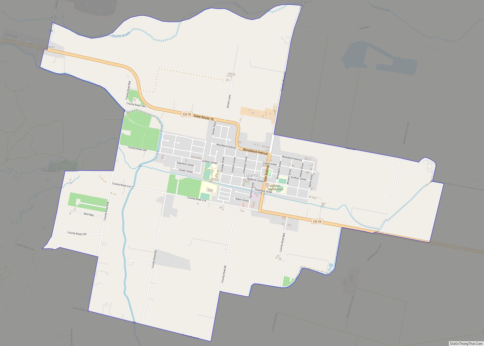
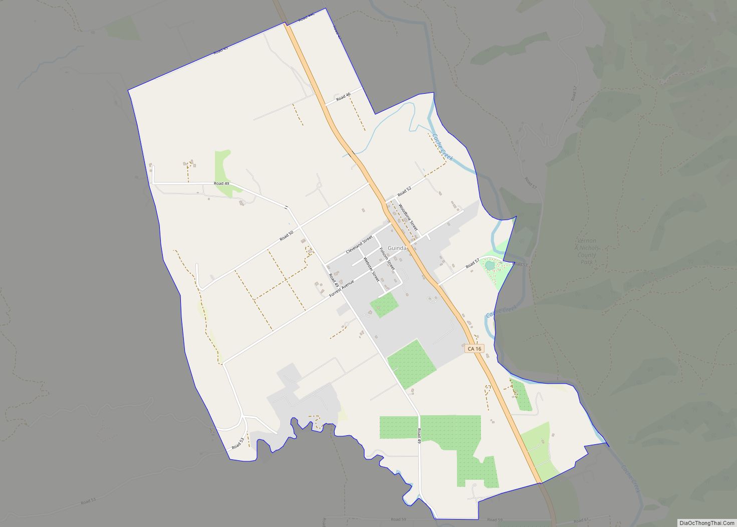
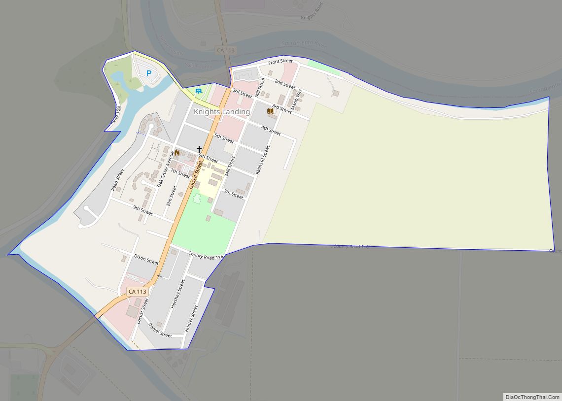
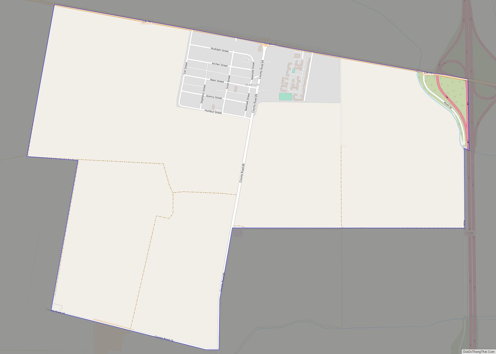
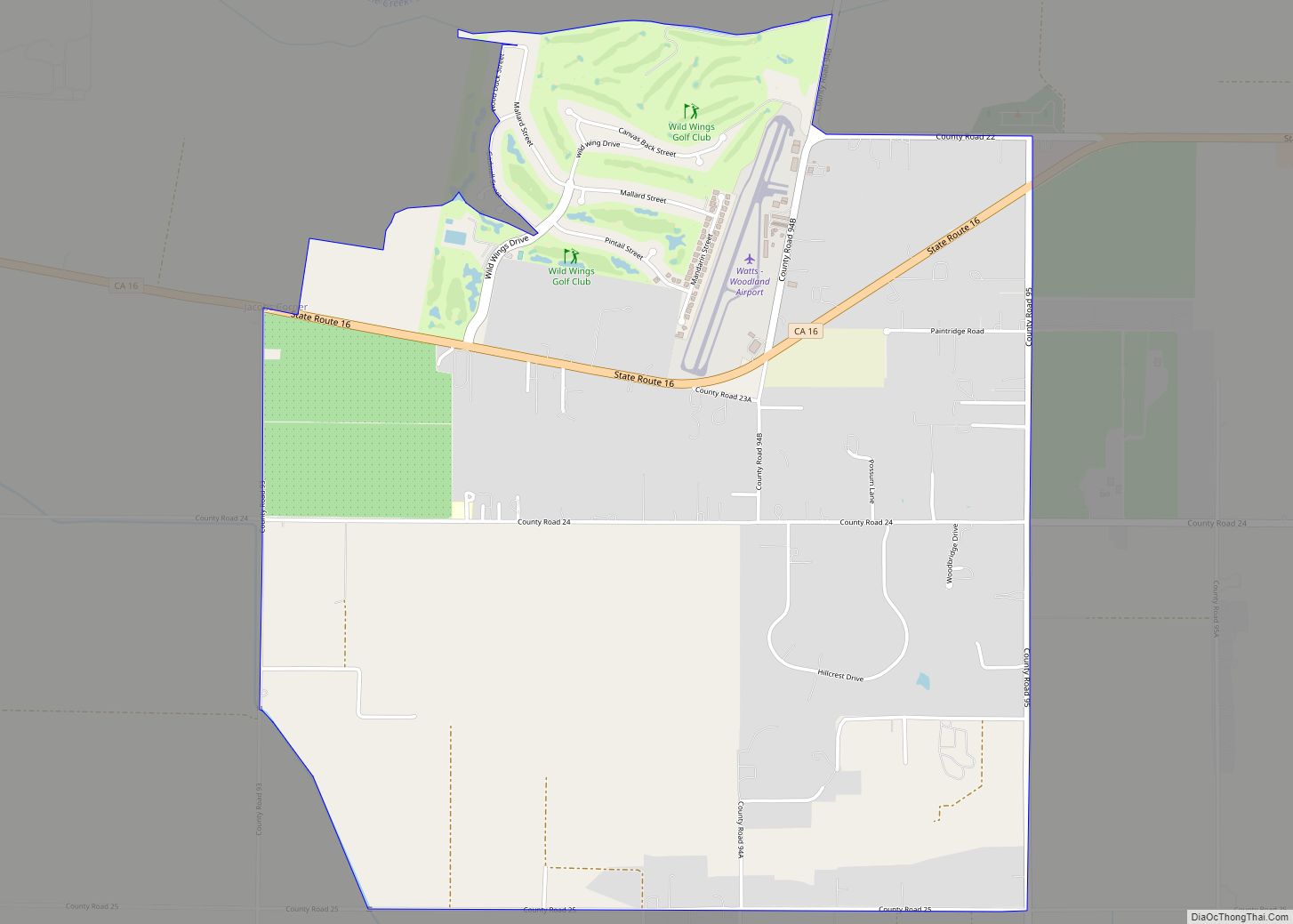
Online Interactive Map
Click on ![]() to view map in "full screen" mode.
to view map in "full screen" mode.
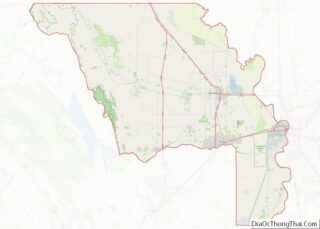
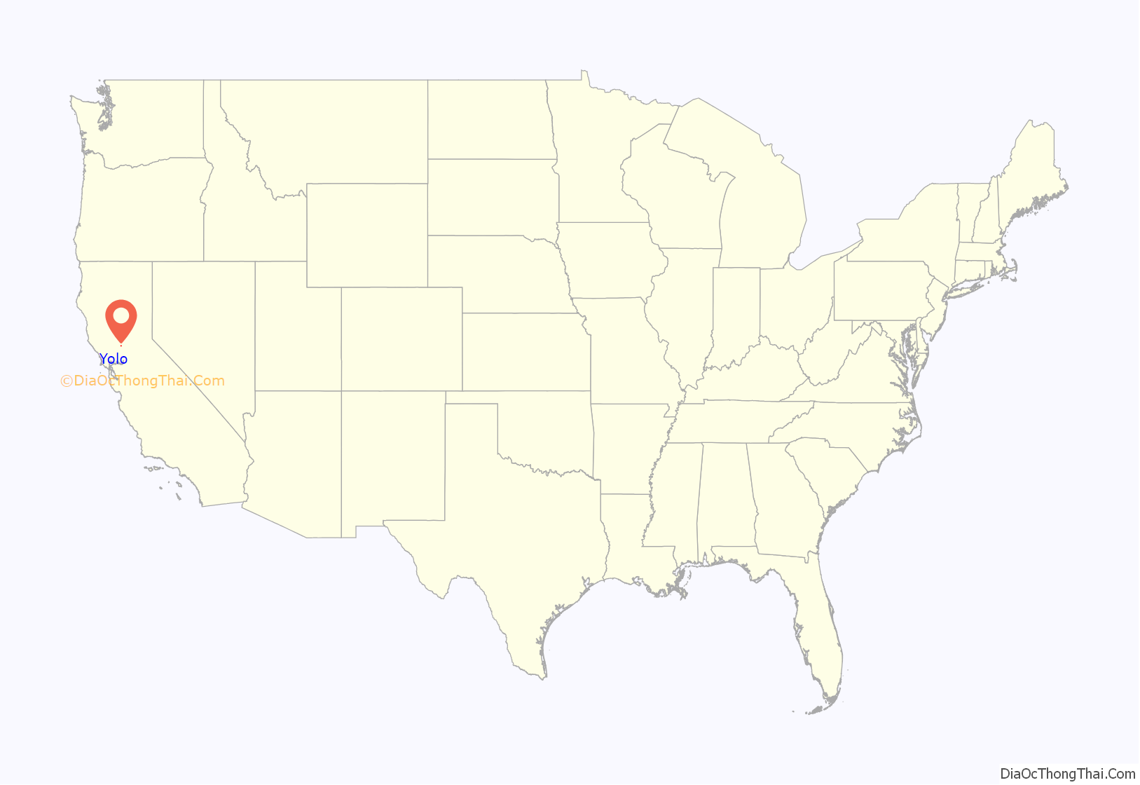
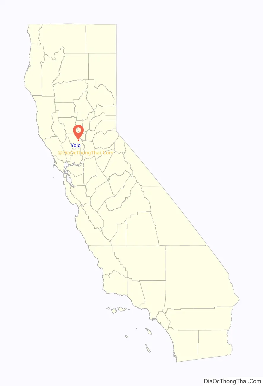
Yolo location map. Where is Yolo CDP?
History
Yolo was formerly known as “Cacheville”, “Cochran’s Crossing”, “Cochranes Crossing”, “Hutton’s Ranch”, and “Travelers Home”.
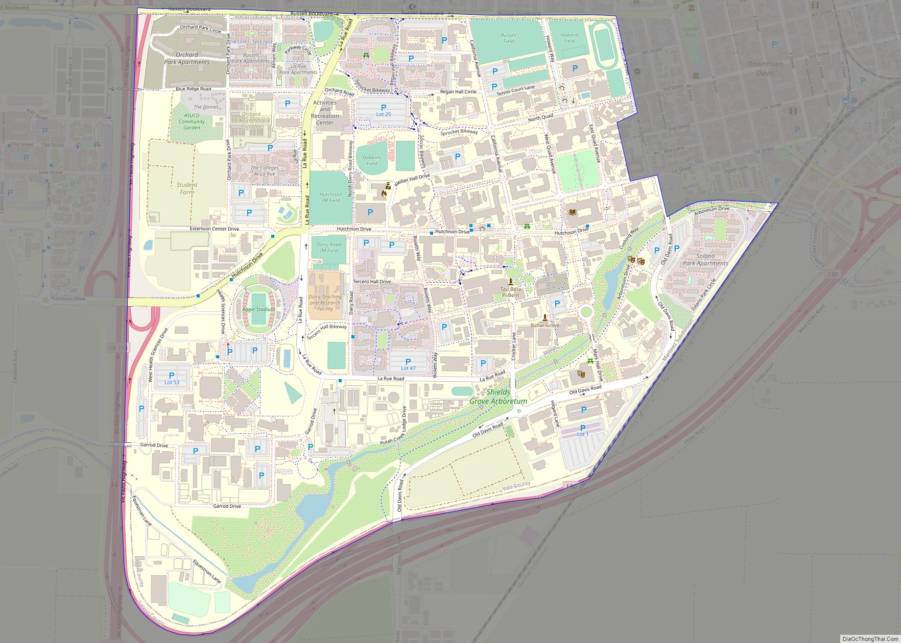
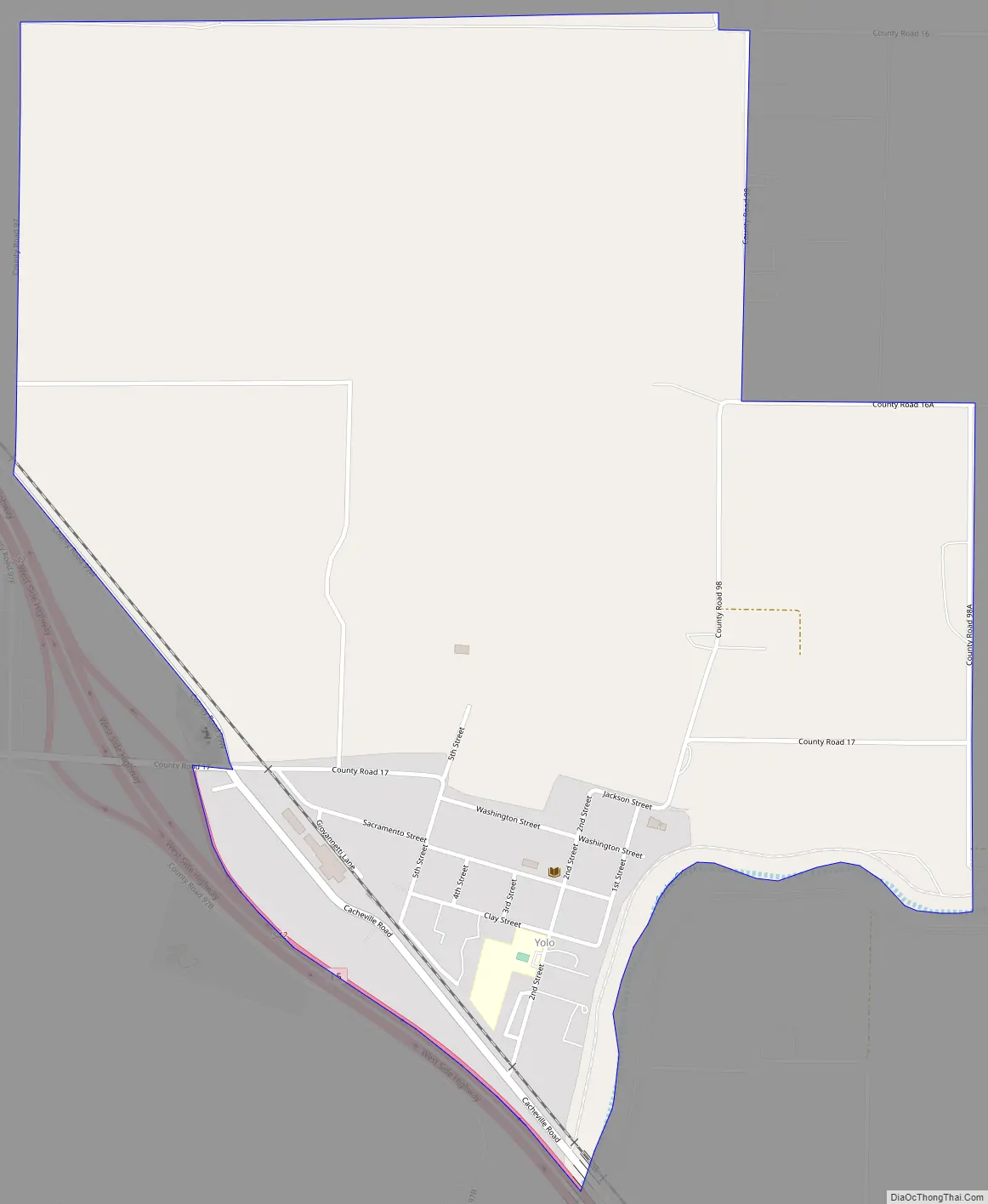
Yolo Road Map
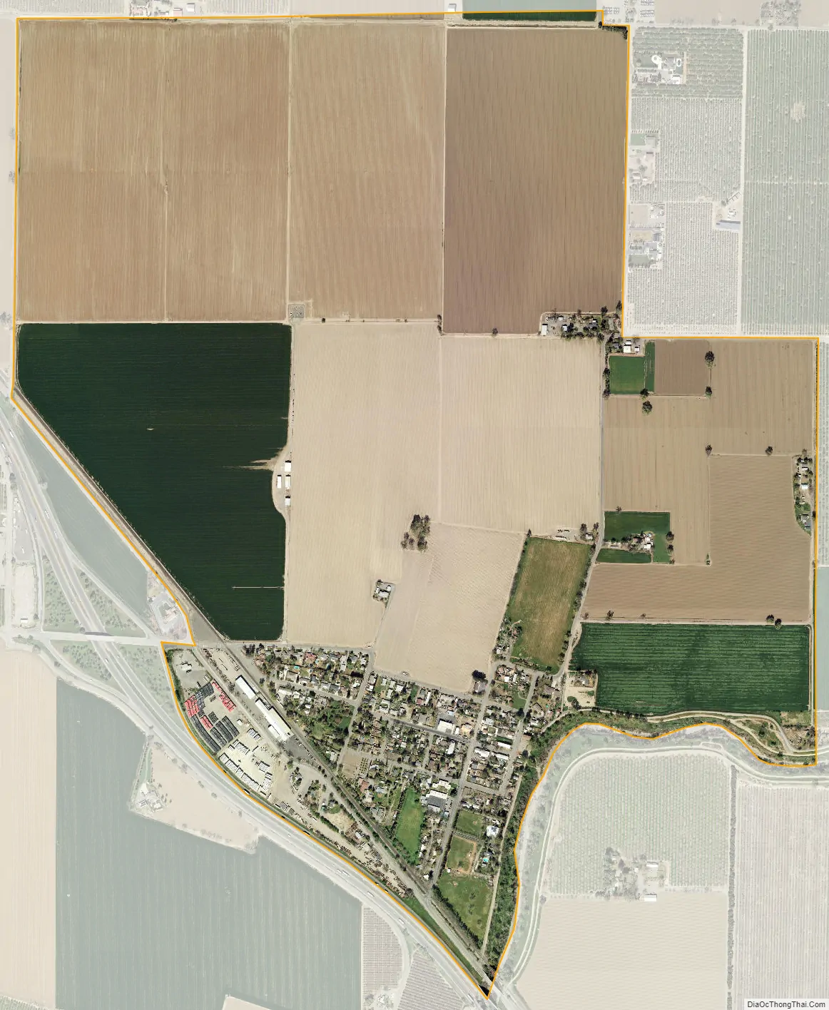
Yolo city Satellite Map
Geography
According to the United States Census Bureau, the CDP covers an area of 1.4 square miles (3.6 km), all of it land.
Climate
The Köppen Climate Classification subtype for this climate is “CSA ” (Mediterranean Climate).
See also
Map of California State and its subdivision:- Alameda
- Alpine
- Amador
- Butte
- Calaveras
- Colusa
- Contra Costa
- Del Norte
- El Dorado
- Fresno
- Glenn
- Humboldt
- Imperial
- Inyo
- Kern
- Kings
- Lake
- Lassen
- Los Angeles
- Madera
- Marin
- Mariposa
- Mendocino
- Merced
- Modoc
- Mono
- Monterey
- Napa
- Nevada
- Orange
- Placer
- Plumas
- Riverside
- Sacramento
- San Benito
- San Bernardino
- San Diego
- San Francisco
- San Joaquin
- San Luis Obispo
- San Mateo
- Santa Barbara
- Santa Clara
- Santa Cruz
- Shasta
- Sierra
- Siskiyou
- Solano
- Sonoma
- Stanislaus
- Sutter
- Tehama
- Trinity
- Tulare
- Tuolumne
- Ventura
- Yolo
- Yuba
- Alabama
- Alaska
- Arizona
- Arkansas
- California
- Colorado
- Connecticut
- Delaware
- District of Columbia
- Florida
- Georgia
- Hawaii
- Idaho
- Illinois
- Indiana
- Iowa
- Kansas
- Kentucky
- Louisiana
- Maine
- Maryland
- Massachusetts
- Michigan
- Minnesota
- Mississippi
- Missouri
- Montana
- Nebraska
- Nevada
- New Hampshire
- New Jersey
- New Mexico
- New York
- North Carolina
- North Dakota
- Ohio
- Oklahoma
- Oregon
- Pennsylvania
- Rhode Island
- South Carolina
- South Dakota
- Tennessee
- Texas
- Utah
- Vermont
- Virginia
- Washington
- West Virginia
- Wisconsin
- Wyoming