Woodland is a city in and the county seat of Yolo County, California, located approximately 15 miles (24 km) northwest of Sacramento, and is a part of the Sacramento metropolitan area. The population was 61,032 at the 2020 census.
Woodland’s origins date to 1850 when California gained statehood and Yolo County was established. Since then the town has grown steadily. The area was well irrigated due to the efforts of James Moore, which drew people into farming as the soil was very fertile. The city gained a federal post office and the next year the county seat was moved from Washington (present day West Sacramento, California) to Woodland after Washington was flooded. The addition of a railroad line to Sacramento, and the more recent addition of Interstate 5, helped the city to thrive.
| Name: | Woodland city |
|---|---|
| LSAD Code: | 25 |
| LSAD Description: | city (suffix) |
| State: | California |
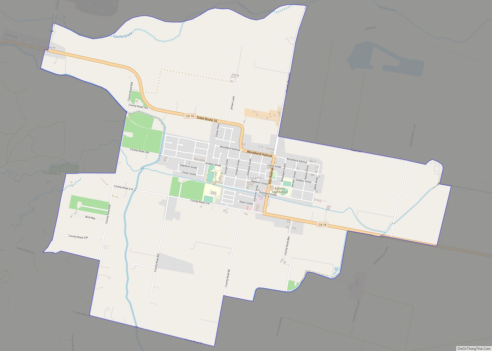
| County: | Yolo County |
| Incorporated: | February 22, 1871 |
| Elevation: | 69 ft (21 m) |
| Total Area: | 15.31 sq mi (39.67 km²) |
| Land Area: | 15.31 sq mi (39.67 km²) |
| Water Area: | 0.00 sq mi (0.00 km²) 0% |
| Total Population: | 61,032 |
| Population Density: | 4,000/sq mi (1,500/km²) |
| ZIP code: | 95695, 95776 |
| Area code: | 530 |
| FIPS code: | 0686328 |
| Website: | www.cityofwoodland.org |
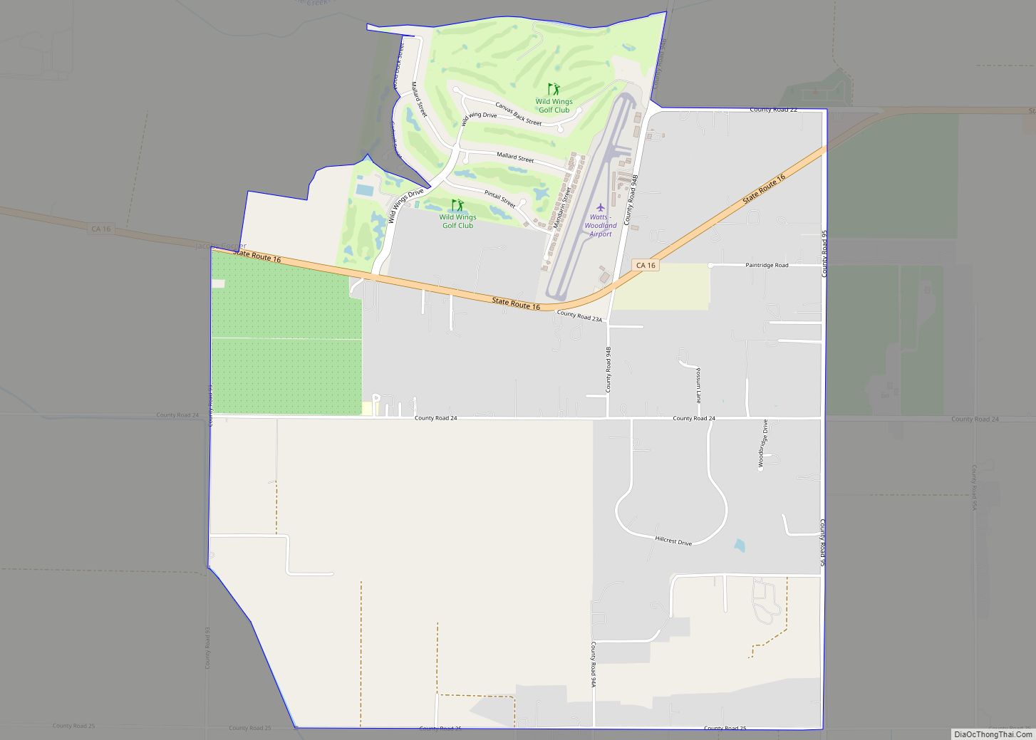
Online Interactive Map
Click on ![]() to view map in "full screen" mode.
to view map in "full screen" mode.
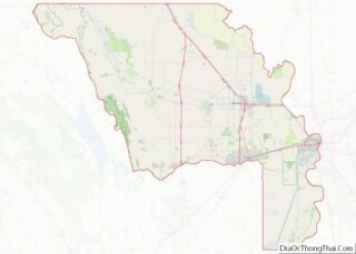
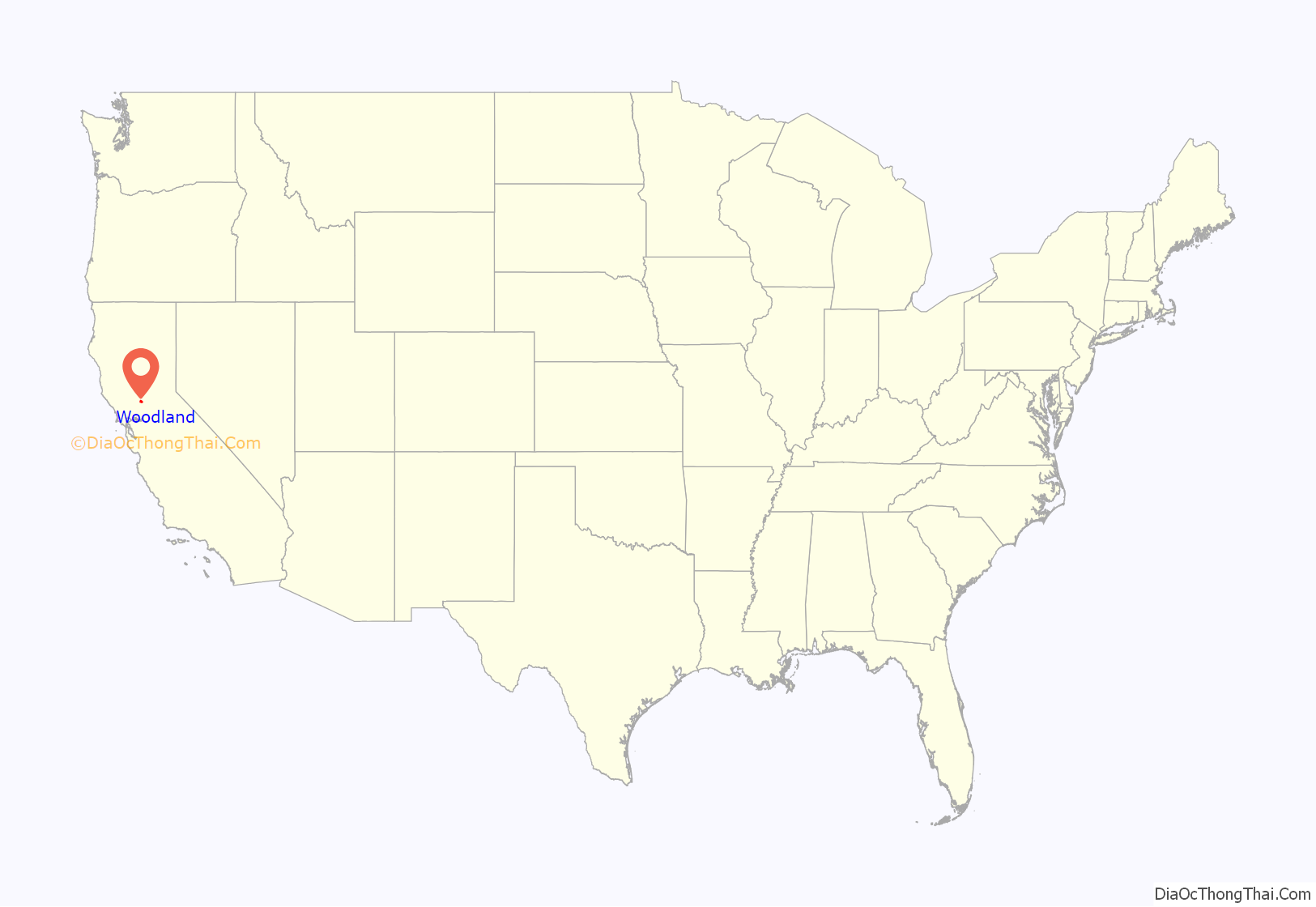
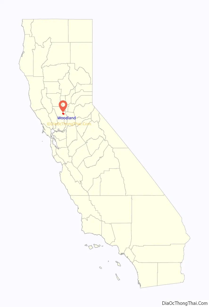
Woodland location map. Where is Woodland city?
History
Indigenous culture
Before its settlement by people of European descent, the Woodland area was inhabited by the Patwin, a subgroup of the Wintun Native Americans, further divided into the River and Coastal Patwin. Woodland’s indigenous roots stem from the River Patwin, who tended to stay closer to the Sacramento River, as opposed to the Coastal Patwin who lived in small valleys in hills and ranges. The Yolotoi, a tribelet of the Patwin, occupied area near Woodland, and settled a village northwest of Woodland and another close to present day Knights Landing. Although they didn’t have a permanent settlement in present-day Woodland, it is believed that the River Patwin occupied the Woodland area in seasonal camps for hunting and seed gathering. The Yolotoi and their neighboring tribelets had a main trading trail which followed Cache Creek. The exchange of goods between the neighboring tribes of the Nomlaki to the north, the Nisenan to the east, and the Pomo to the west also served as a way of cultural and social interchange between all the tribes. The simultaneous enslavement and spread of disease through the Patwin by the Spanish missionaries quickly had dramatic effects; a malarial epidemic in 1830–33 and a smallpox epidemic in 1837 killed much of the surviving natives. However, some of the first farm hands in the earliest farms in Woodland were Patwin.
Beginnings
In 1851, the year after California became a state and Yolo County was formed, “Uncle Johnny” Morris settled at what is now the corner of First and Clover Streets in Woodland. Two years later Henry Wyckoff arrived and built a store he named “Yolo City”. The new Yolo City might have stayed a singular store if Frank S. Freeman had not bought it and acquired 160 acres (0.65 km) of land in 1857. Freeman began to develop a town that he hoped would be a trading center for one of the richest crop-growing areas in America. He gave land to anyone who would clear it and build a home. In 1859, Freeman suggested that the town be called Woodland, which the post office accepted. On July 5, 1861, the Woodland Post Office was established and Freeman became Postmaster. He lost no time in developing the town by leasing or selling commercial buildings.
The 1860s were a time of opportunity. The county seat was permanently moved to Woodland after Washington, California (now a part of West Sacramento) flooded. Schools, homes, churches, and a cemetery were built. The town’s newspaper, the Daily Democrat and a rail line was built. In 1869, the California Pacific Railroad Company constructed a line between Davisville (now Davis) and Marysville with a Woodland station in the area of College Street and Lincoln Avenue. The rail line expanded and was eventually acquired by Southern Pacific Railroad. The track was then relocated from College Street to East Street, the eastern edge of the city at that point. The addition of the railroad led to the expansion of Woodland. Before the railroad came, people were building primarily from Main Street northward. Later expansion headed west and south.
In 1870 the population of Woodland was estimated to be 1,600 people, 647 of whom were registered voters. Signatures were collected to petition for the incorporation of the town. The City of Woodland was incorporated in 1871 and its residents soon had regular train and telegraph operations, telephone services, gas, water, electricity, street lights, and graveled streets. Byron Jackson, inventor of the centrifugal pump, opened a machine shop in Woodland in 1872. The business moved to San Francisco in 1879, supplying highly efficient pumps for ground water irrigation which transformed agriculture and industry in California.
20th century
Woodland’s Chamber of Commerce was founded in 1900. During this time public activism helped Woodland get a library, a city park, and an improved cemetery. In 1910 Woodland was the most populous city in the county, with a population of 3,187. For the next forty years Woodland grew slowly but steadily, based on agriculture-related businesses: three rice mills, a sugar beet refinery, and a tomato cannery were built.
After President Roosevelt issued Executive Order 9066, which authorized military commanders to exclude “any or all persons” from certain areas in the name of national defense, the Western Defense Command began ordering Japanese Americans living on the West Coast to “evacuate” from the newly created military zones. This included many Woodland farming families. At Woodland, was a Woodland Civil Control Station, for check-in, with no overnight accommodations.
The post-war era spurred growth in Woodland; between 1950 and 1980, Woodland’s population tripled. In the 1950s Woodland had the most millionaires per capita of any city in California. Industrial plants and distribution centers grew in the northeast, with new subdivisions and shopping centers around the town. Since the late 1960s, there has been greater interest in preserving the town’s historic buildings, and many have been restored as homes, offices, stores and museums. Woodland’s “Stroll Through History,” an annual event, began in 1989 to showcase many of the Victorian homes and other historical sites throughout the city.
In the 1970s Interstate 5 was completed, curving around Woodland. Over time, I-5 and State Route 113 replaced the railroads as major transportation arteries.
21st century
Within the past decade, Woodland has grown, with many additions to the community. Subdivisions have been built (mainly on the east side of town) and several major chain stores opened.
Pioneer High School opened for the 2003–04 school year.
Main Street has revived with new restaurants, a new court house, and the expansion of the Old State Theater into a 10-screen multiplex.
On July 1, 2022 local restaurant Mojo’s Bar & Lounge hosted an all-ages Drag show which was cancelled due to threats by alleged members of the Proud Boys. The event was targeted after being posted on Libs of TikTok, gaining over 600 retweets. There have been no arrests made as of July 8, 2022.
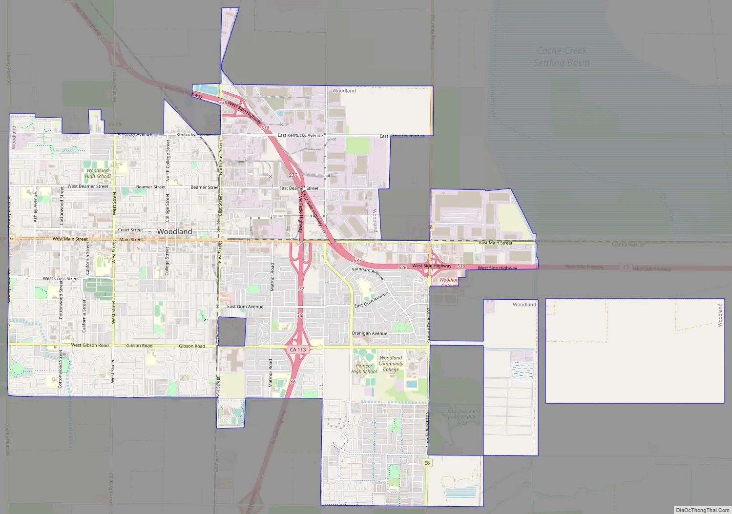
Woodland Road Map
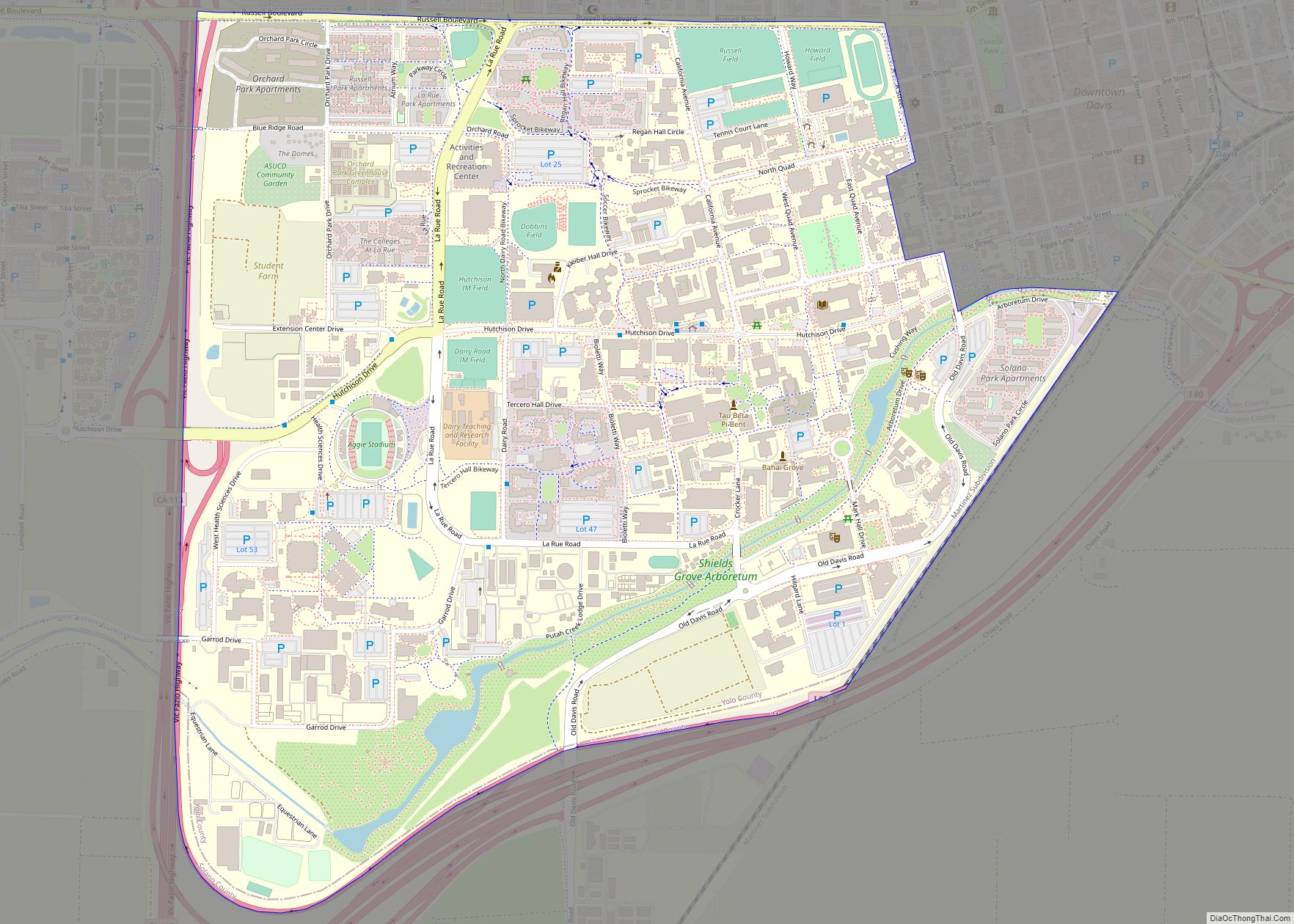
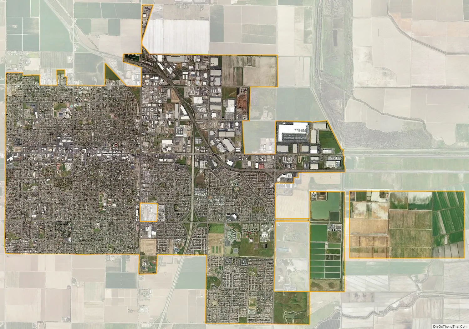
Woodland city Satellite Map
Geography
Woodland is located on flat land in the Central Valley (California), with the Yolo Bypass and the Sacramento River to the east and the Capay Valley and the Coast Range to the west. Woodland is a part of the Sacramento Metropolitan Area but it retains a “small town” feeling partly due to the mileage between the city and the neighboring cities. It is located just southeast of the county’s geographical center, and is one of the largest cities north of Sacramento along Interstate 5 until Redding. Interstate 5 enters the city from the east and curves northward over the remainder of Woodland, exiting northwest. SR 113 enters the city from the south as a controlled access freeway and merges with the I-5, then diverges leaving the city northward as a standard two-lane road. The city is surrounded by farmland.
Woodland calls itself the “City of Trees”. Valley oaks are the predominant native species planted around the city.
Climate
Woodland has a Mediterranean climate with dry, hot summers and cool, relatively wet winters, as with the rest of California’s Sacramento Valley. The rainy season is generally from October through April. Average high temperatures range from 96 °F in July to 54 °F in January, while average lows range from 58 °F in July to 38 °F in December and January. January is typically the wettest month with about 3.92 inches (99 mm) of rain. All-time extremes for Woodland are 15 °F and 114 °F.
Summer brings warm days, with temperatures frequently in the upper 90s, but the “Delta Breeze” that blows into the valley through the Carquinez Strait usually makes for comfortable evenings and nighttime temperatures in the upper 50s. Occasional heat waves raise the temperature above 100 degrees. During late fall and throughout the winter months, Woodland experiences cooler temperatures, rain from storms originating in the Pacific Ocean and Gulf of Alaska, tule fog, and a few mornings of frost and freezing conditions. When the chilling fog does not burn off, daytime highs may remain in the 40s or low 50s for several consecutive days. Snow is extremely rare in Woodland; the last measurable snowfall occurred on January 28, 2002. The Sierra Nevada mountains, about 60 miles to the east of Woodland, receive significant amounts of snow each winter. The cool and wet weather becomes much less frequent in April and May as the days gradually get warmer.
See also
Map of California State and its subdivision:- Alameda
- Alpine
- Amador
- Butte
- Calaveras
- Colusa
- Contra Costa
- Del Norte
- El Dorado
- Fresno
- Glenn
- Humboldt
- Imperial
- Inyo
- Kern
- Kings
- Lake
- Lassen
- Los Angeles
- Madera
- Marin
- Mariposa
- Mendocino
- Merced
- Modoc
- Mono
- Monterey
- Napa
- Nevada
- Orange
- Placer
- Plumas
- Riverside
- Sacramento
- San Benito
- San Bernardino
- San Diego
- San Francisco
- San Joaquin
- San Luis Obispo
- San Mateo
- Santa Barbara
- Santa Clara
- Santa Cruz
- Shasta
- Sierra
- Siskiyou
- Solano
- Sonoma
- Stanislaus
- Sutter
- Tehama
- Trinity
- Tulare
- Tuolumne
- Ventura
- Yolo
- Yuba
- Alabama
- Alaska
- Arizona
- Arkansas
- California
- Colorado
- Connecticut
- Delaware
- District of Columbia
- Florida
- Georgia
- Hawaii
- Idaho
- Illinois
- Indiana
- Iowa
- Kansas
- Kentucky
- Louisiana
- Maine
- Maryland
- Massachusetts
- Michigan
- Minnesota
- Mississippi
- Missouri
- Montana
- Nebraska
- Nevada
- New Hampshire
- New Jersey
- New Mexico
- New York
- North Carolina
- North Dakota
- Ohio
- Oklahoma
- Oregon
- Pennsylvania
- Rhode Island
- South Carolina
- South Dakota
- Tennessee
- Texas
- Utah
- Vermont
- Virginia
- Washington
- West Virginia
- Wisconsin
- Wyoming