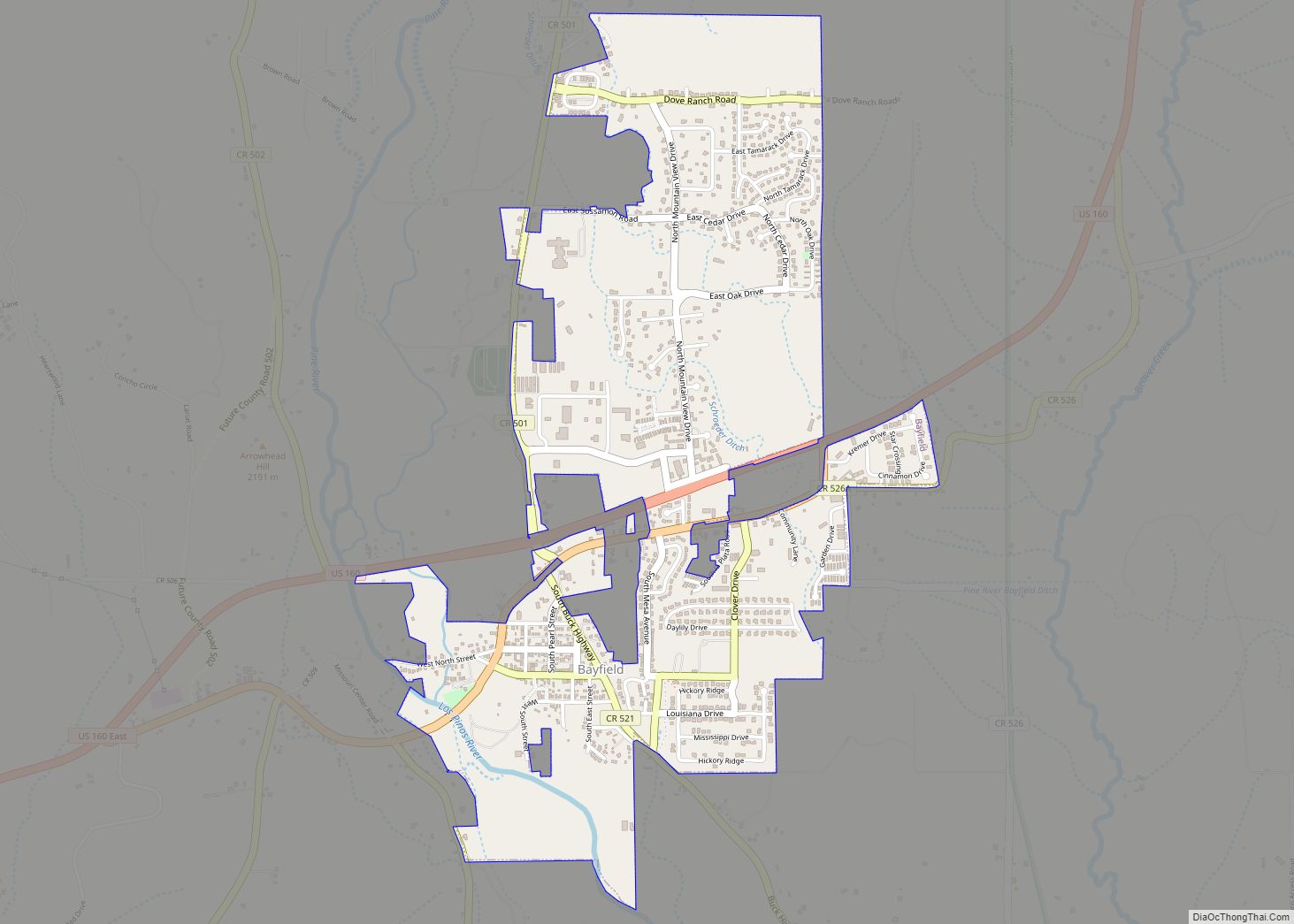
Bayfield is a Statutory Town located in La Plata County, Colorado, United States. The town population was 2,838 at the 2020 United States Census, a +21.65% increase since the 2010 United States Census. Bayfield is part of the Durango, CO Micropolitan Statistical Area.
| Name: | Bayfield town |
|---|---|
| LSAD Code: | 43 |
| LSAD Description: | town (suffix) |
| State: | Colorado |
| County: | La Plata County |
| Elevation: | 6,900 ft (2,103 m) |
| Total Area: | 1.646 sq mi (4.264 km²) |
| Land Area: | 1.646 sq mi (4.264 km²) |
| Water Area: | 0.000 sq mi (0.000 km²) |
| Total Population: | 2,838 |
| Population Density: | 1,724/sq mi (666/km²) |
| ZIP code: | 81122 |
| Area code: | 9708849544 |
| FIPS code: | 0805265 |
| GNISfeature ID: | 0184411 |
| Website: | www.colorado.gov/townofbayfield |
Online Interactive Map
Click on ![]() to view map in "full screen" mode.
to view map in "full screen" mode.
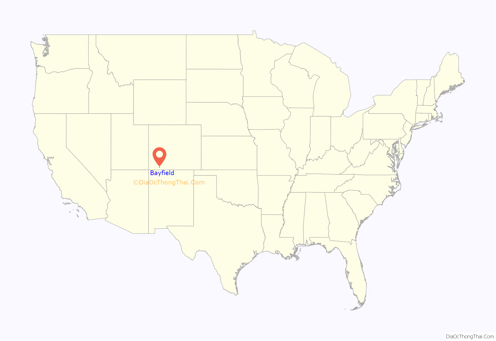
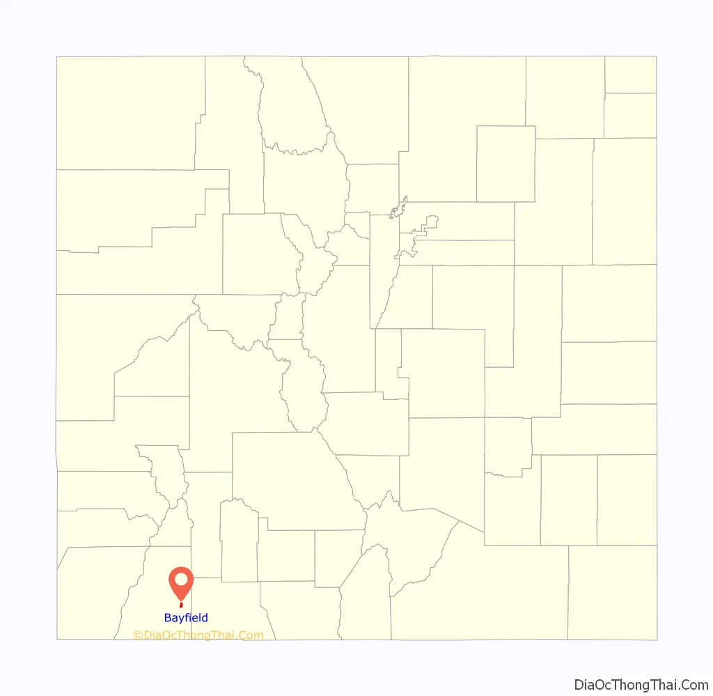
Bayfield location map. Where is Bayfield town?
History
The town derives its name from W.A. Bay, founder.
On January 19, 1988, Trans-Colorado Airlines Flight 2286 crashed in Bayfield, killing nine of the 17 people aboard.
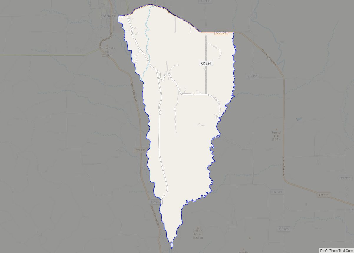
Bayfield Road Map
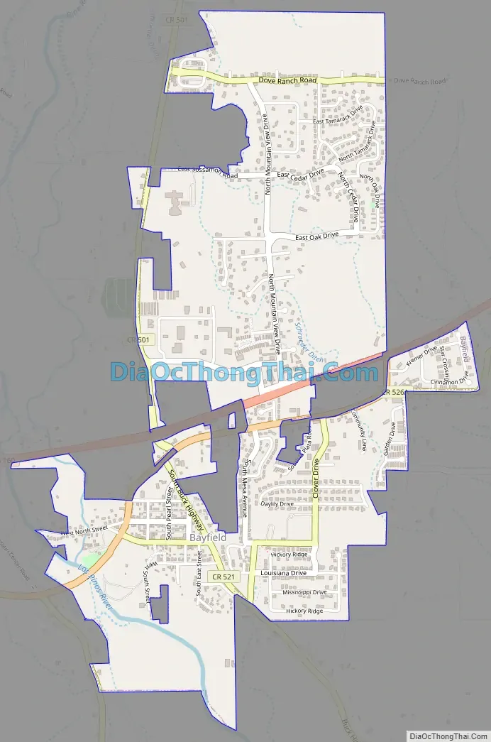
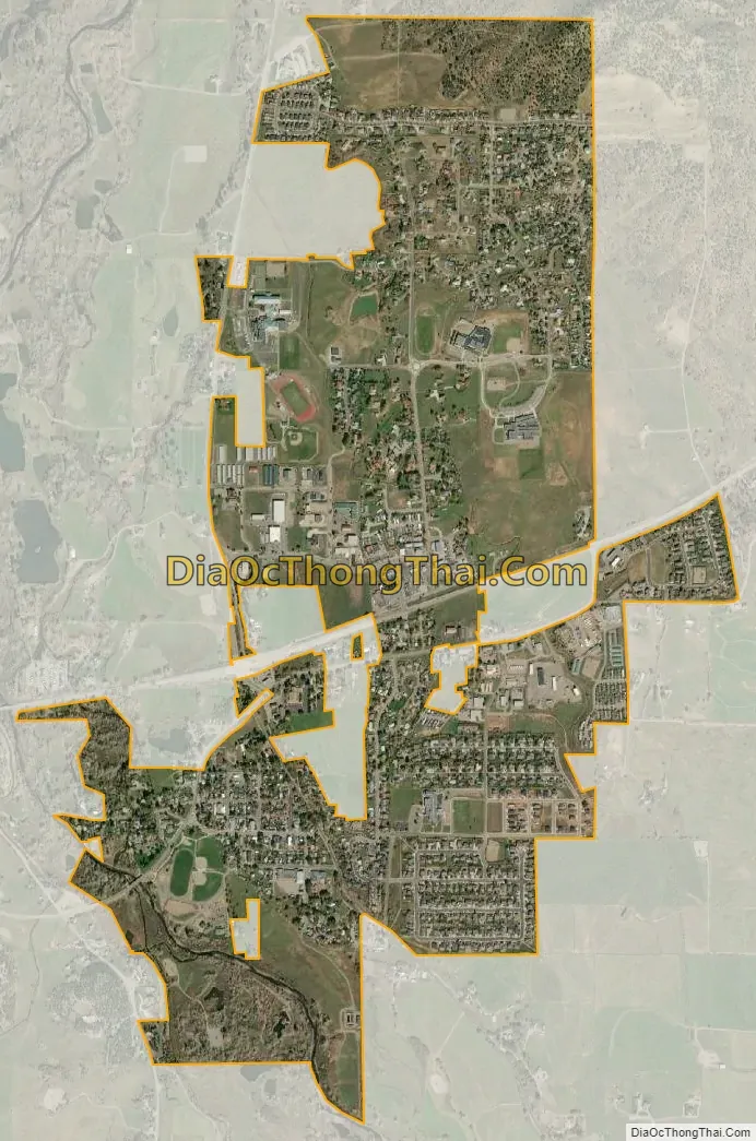
Bayfield city Satellite Map
Geography
Bayfield is located at 37°13′50″N 107°35′58″W / 37.23056°N 107.59944°W / 37.23056; -107.59944 (37.230532, -107.599539), along U.S. Highway 160.
At the 2020 United States Census, the town had a total area of 1,054 acres (4.264 km), all of it land.
See also
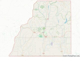
Map of Colorado State and its subdivision:- Adams
- Alamosa
- Arapahoe
- Archuleta
- Baca
- Bent
- Boulder
- Broomfield
- Chaffee
- Cheyenne
- Clear Creek
- Conejos
- Costilla
- Crowley
- Custer
- Delta
- Denver
- Dolores
- Douglas
- Eagle
- El Paso
- Elbert
- Fremont
- Garfield
- Gilpin
- Grand
- Gunnison
- Hinsdale
- Huerfano
- Jackson
- Jefferson
- Kiowa
- Kit Carson
- La Plata
- Lake
- Larimer
- Las Animas
- Lincoln
- Logan
- Mesa
- Mineral
- Moffat
- Montezuma
- Montrose
- Morgan
- Otero
- Ouray
- Park
- Phillips
- Pitkin
- Prowers
- Pueblo
- Rio Blanco
- Rio Grande
- Routt
- Saguache
- San Juan
- San Miguel
- Sedgwick
- Summit
- Teller
- Washington
- Weld
- Yuma
- Alabama
- Alaska
- Arizona
- Arkansas
- California
- Colorado
- Connecticut
- Delaware
- District of Columbia
- Florida
- Georgia
- Hawaii
- Idaho
- Illinois
- Indiana
- Iowa
- Kansas
- Kentucky
- Louisiana
- Maine
- Maryland
- Massachusetts
- Michigan
- Minnesota
- Mississippi
- Missouri
- Montana
- Nebraska
- Nevada
- New Hampshire
- New Jersey
- New Mexico
- New York
- North Carolina
- North Dakota
- Ohio
- Oklahoma
- Oregon
- Pennsylvania
- Rhode Island
- South Carolina
- South Dakota
- Tennessee
- Texas
- Utah
- Vermont
- Virginia
- Washington
- West Virginia
- Wisconsin
- Wyoming