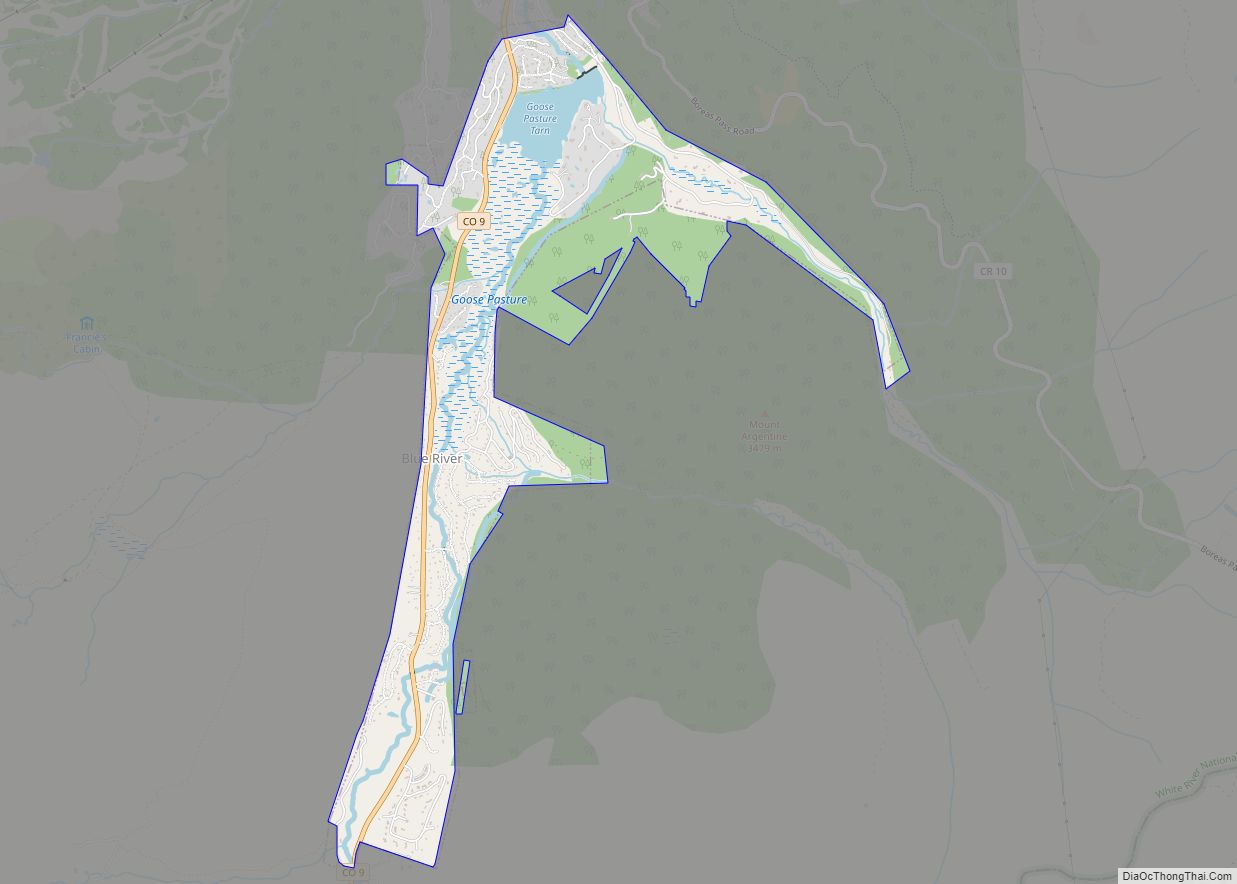
The Town of Blue River is a Statutory Town located in Summit County, Colorado, United States. The town population was 877 at the 2020 United States Census. The town is located in the Blue River Valley and is a part of Breckenridge, CO Micropolitan Statistical Area.
| Name: | Blue River town |
|---|---|
| LSAD Code: | 43 |
| LSAD Description: | town (suffix) |
| State: | Colorado |
| County: | Summit County |
| Incorporated: | 1964 |
| Elevation: | 10,037 ft (3,059 m) |
| Total Area: | 2.563 sq mi (6.637 km²) |
| Land Area: | 2.463 sq mi (6.379 km²) |
| Water Area: | 0.100 sq mi (0.258 km²) |
| Total Population: | 877 |
| Population Density: | 356/sq mi (137/km²) |
| ZIP code: | 80424 |
| Area code: | 970 |
| FIPS code: | 0807410 |
| Website: | townofblueriver.colorado.gov |
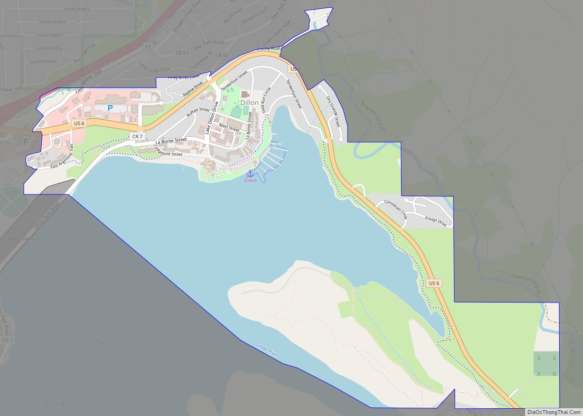
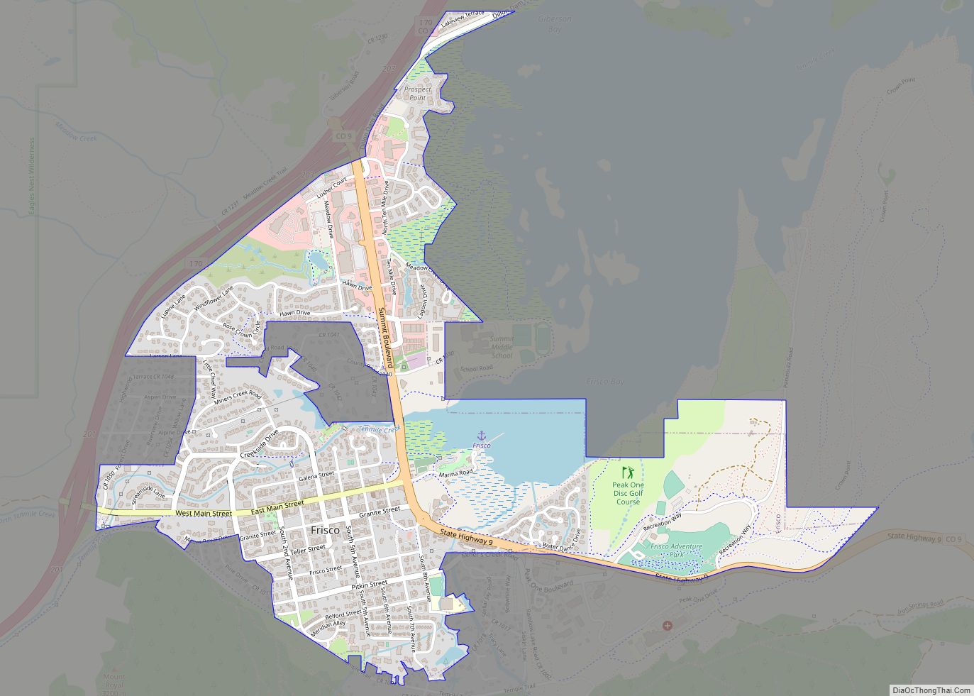
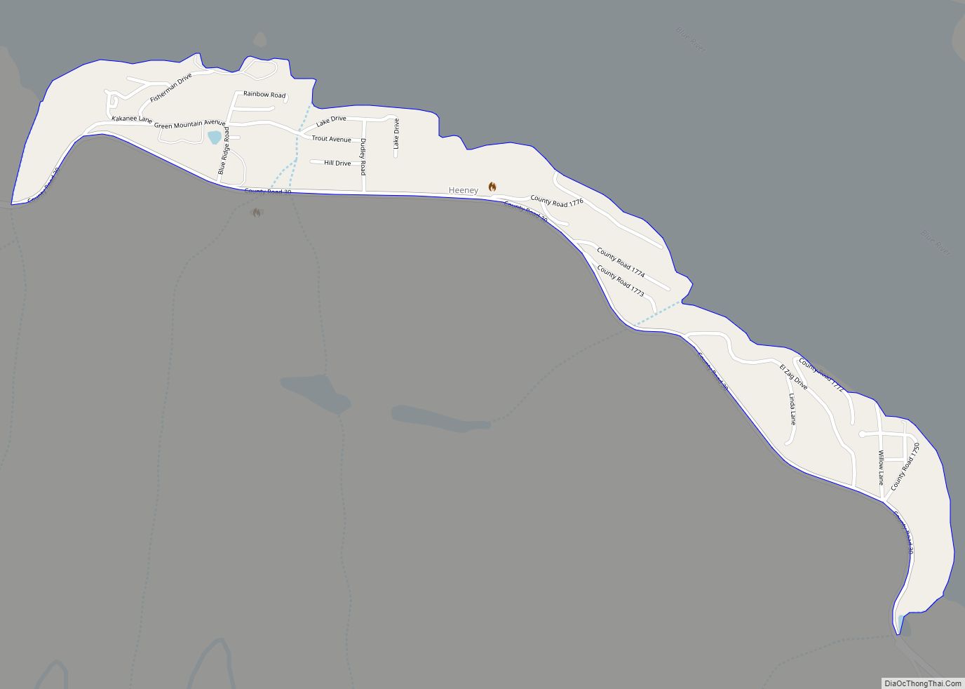
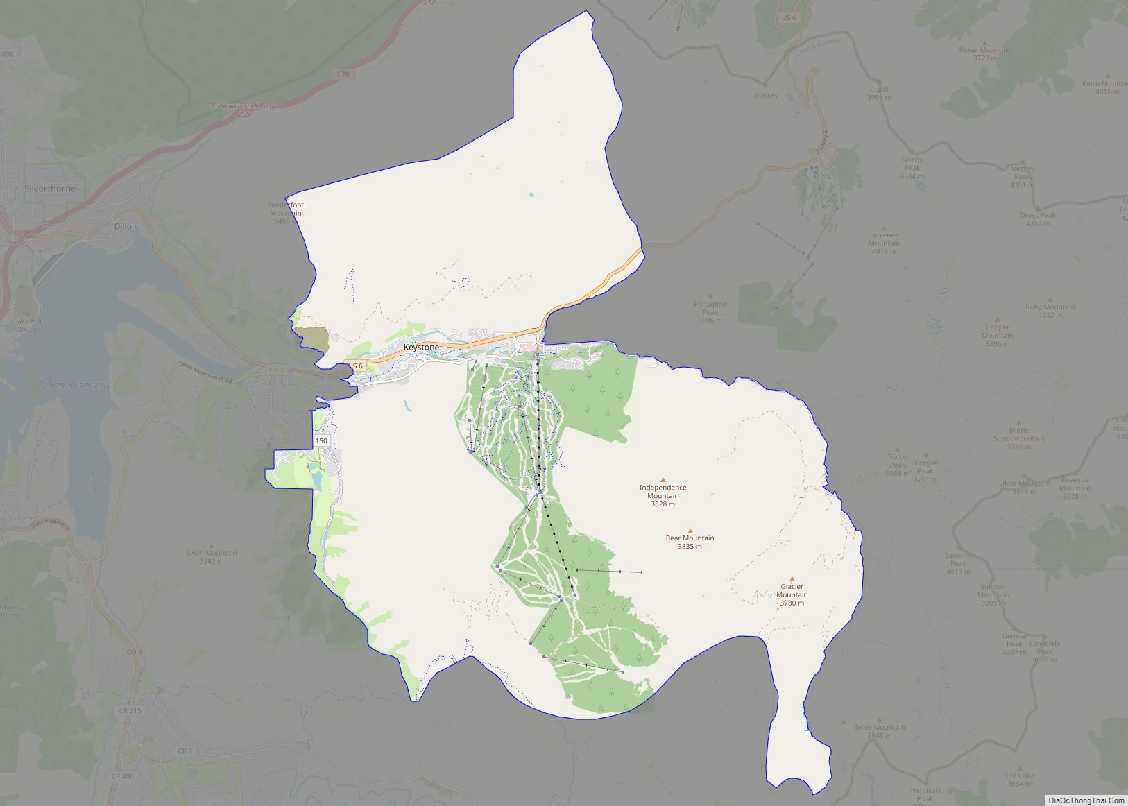
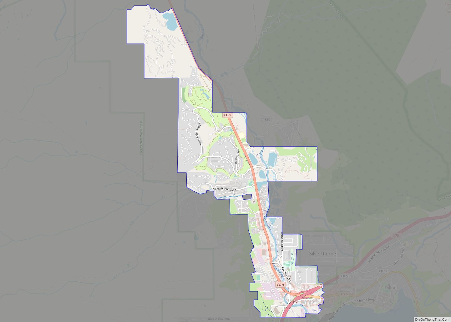
Online Interactive Map
Click on ![]() to view map in "full screen" mode.
to view map in "full screen" mode.
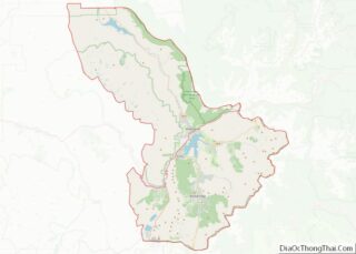
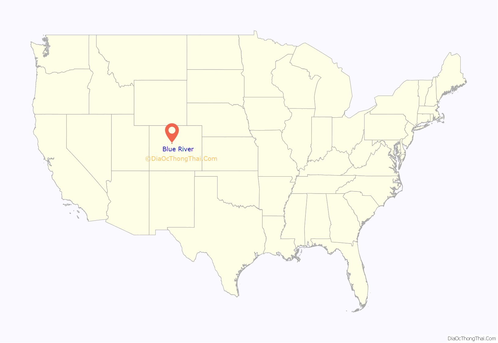
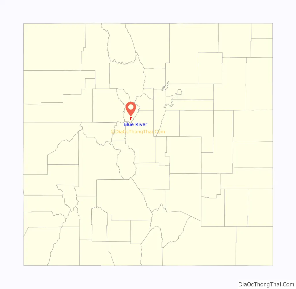
Blue River location map. Where is Blue River town?
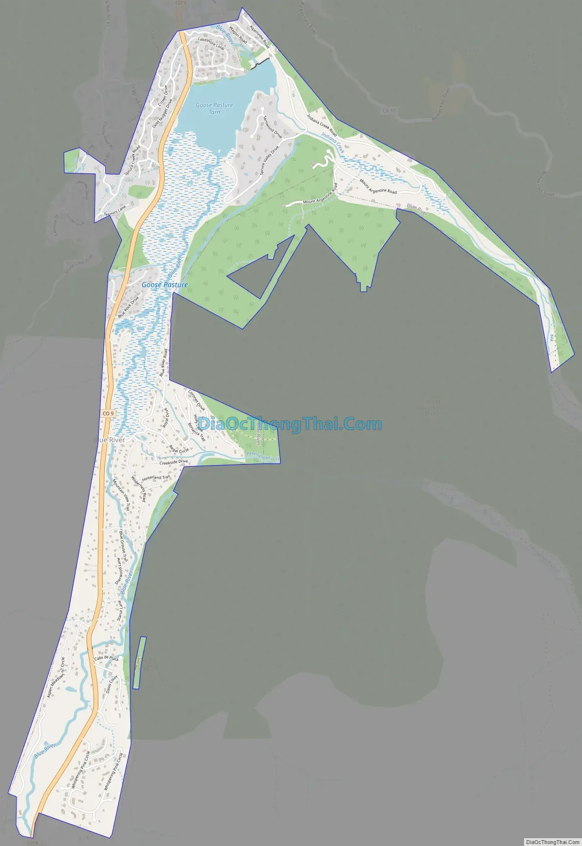
Blue River Road Map
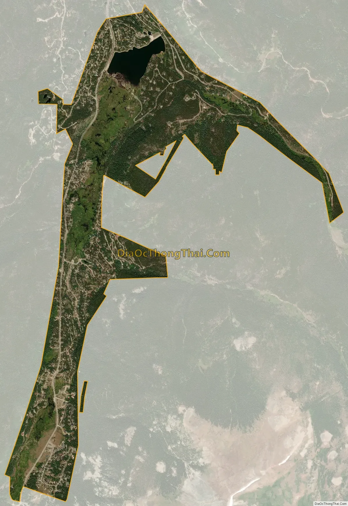
Blue River city Satellite Map
Geography
At elevation 10,000 feet (3,000 m), Blue River is among the few (perhaps just four) incorporated towns or cities in the United States at elevation higher than 10,000 feet (3,000 m).
The town is located at 39°25′57″N 106°2′14″W / 39.43250°N 106.03722°W / 39.43250; -106.03722 (39.432532, -106.037152).
At the 2020 United States Census, the town had a total area of 1,640 acres (6.637 km) including 64 acres (0.258 km) of water.
See also
Map of Colorado State and its subdivision:- Adams
- Alamosa
- Arapahoe
- Archuleta
- Baca
- Bent
- Boulder
- Broomfield
- Chaffee
- Cheyenne
- Clear Creek
- Conejos
- Costilla
- Crowley
- Custer
- Delta
- Denver
- Dolores
- Douglas
- Eagle
- El Paso
- Elbert
- Fremont
- Garfield
- Gilpin
- Grand
- Gunnison
- Hinsdale
- Huerfano
- Jackson
- Jefferson
- Kiowa
- Kit Carson
- La Plata
- Lake
- Larimer
- Las Animas
- Lincoln
- Logan
- Mesa
- Mineral
- Moffat
- Montezuma
- Montrose
- Morgan
- Otero
- Ouray
- Park
- Phillips
- Pitkin
- Prowers
- Pueblo
- Rio Blanco
- Rio Grande
- Routt
- Saguache
- San Juan
- San Miguel
- Sedgwick
- Summit
- Teller
- Washington
- Weld
- Yuma
- Alabama
- Alaska
- Arizona
- Arkansas
- California
- Colorado
- Connecticut
- Delaware
- District of Columbia
- Florida
- Georgia
- Hawaii
- Idaho
- Illinois
- Indiana
- Iowa
- Kansas
- Kentucky
- Louisiana
- Maine
- Maryland
- Massachusetts
- Michigan
- Minnesota
- Mississippi
- Missouri
- Montana
- Nebraska
- Nevada
- New Hampshire
- New Jersey
- New Mexico
- New York
- North Carolina
- North Dakota
- Ohio
- Oklahoma
- Oregon
- Pennsylvania
- Rhode Island
- South Carolina
- South Dakota
- Tennessee
- Texas
- Utah
- Vermont
- Virginia
- Washington
- West Virginia
- Wisconsin
- Wyoming