The Town of Cokedale is a Statutory Town located in Las Animas County, Colorado, United States. The town population was 127 at the 2020 United States Census.
| Name: | Cokedale town |
|---|---|
| LSAD Code: | 43 |
| LSAD Description: | town (suffix) |
| State: | Colorado |
| County: | Las Animas County |
| Incorporated: | March 15, 1948 |
| Elevation: | 6,332 ft (1,930 m) |
| Total Area: | 0.205 sq mi (0.531 km²) |
| Land Area: | 0.205 sq mi (0.531 km²) |
| Water Area: | 0.000 sq mi (0.000 km²) |
| Total Population: | 127 |
| Population Density: | 619/sq mi (239/km²) |
| ZIP code: | Trinidad CO 81082 |
| Area code: | 719 |
| FIPS code: | 0815550 |
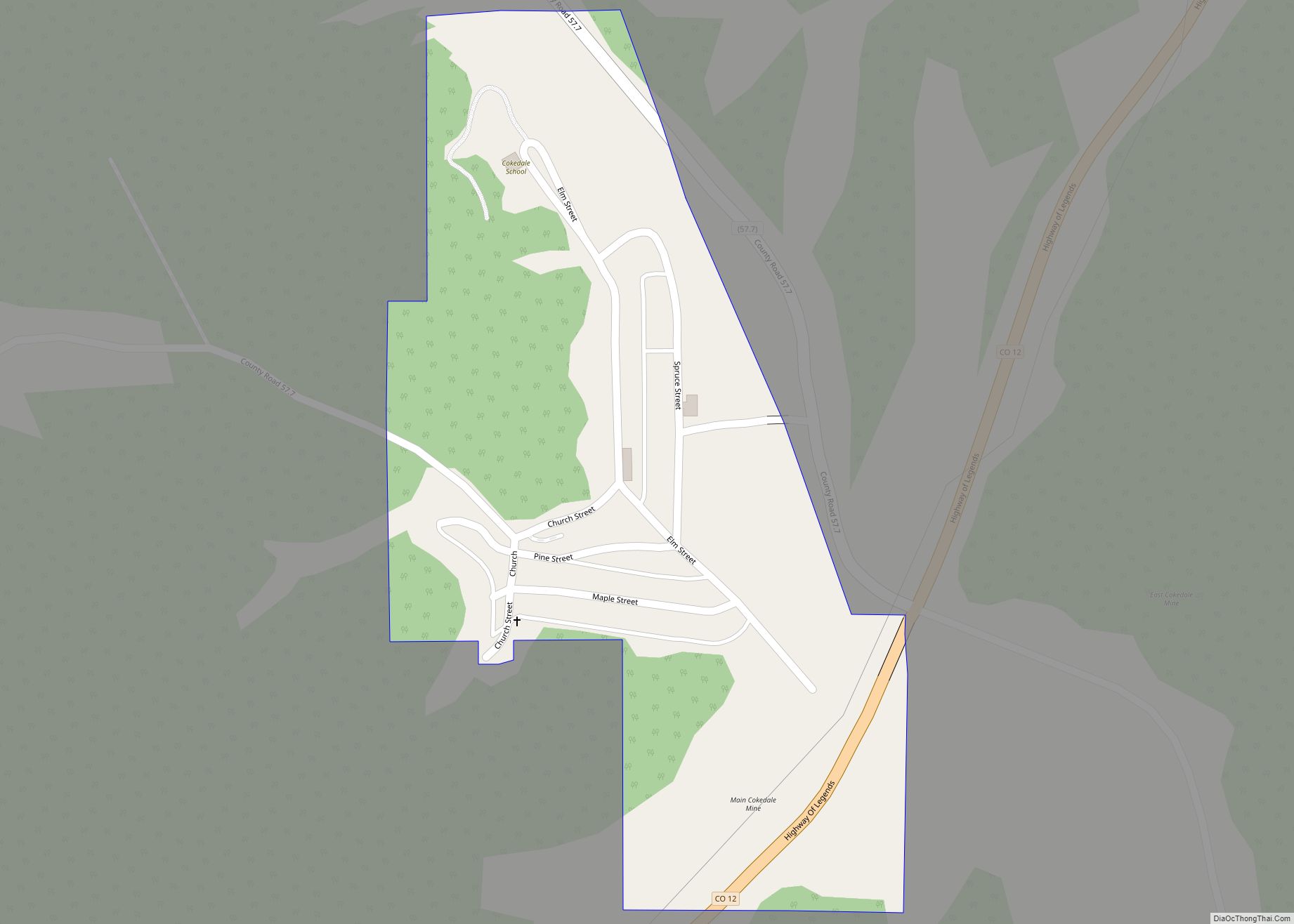
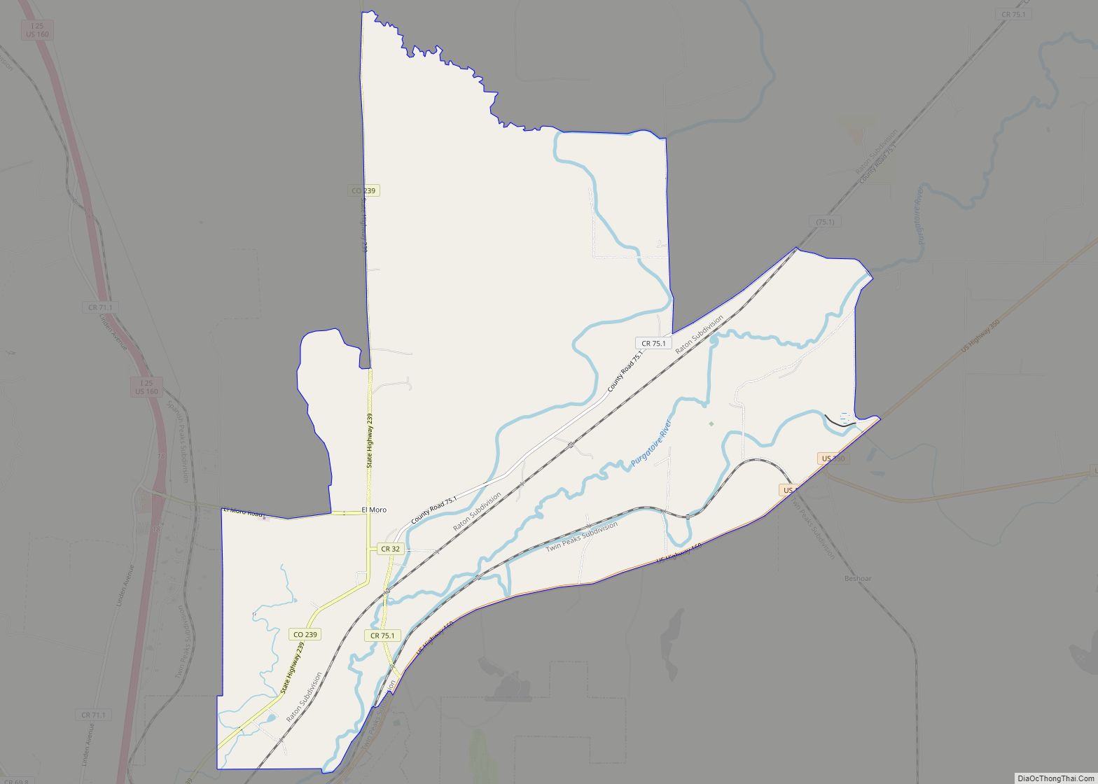
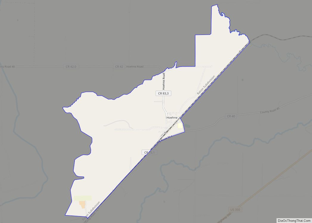
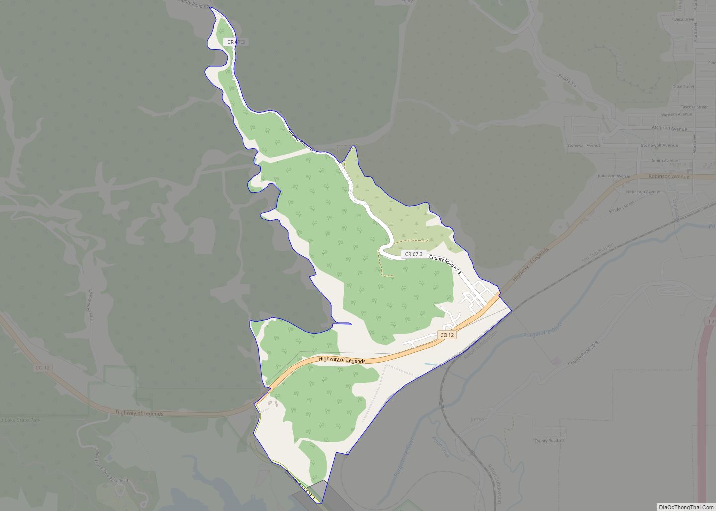
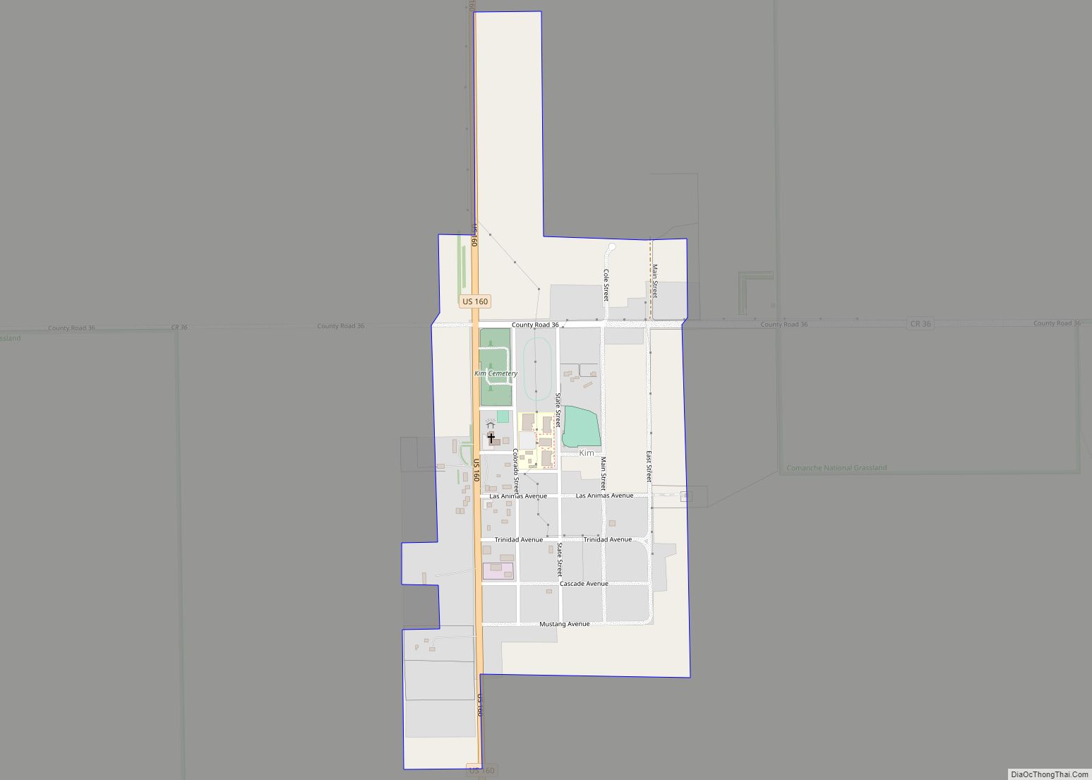
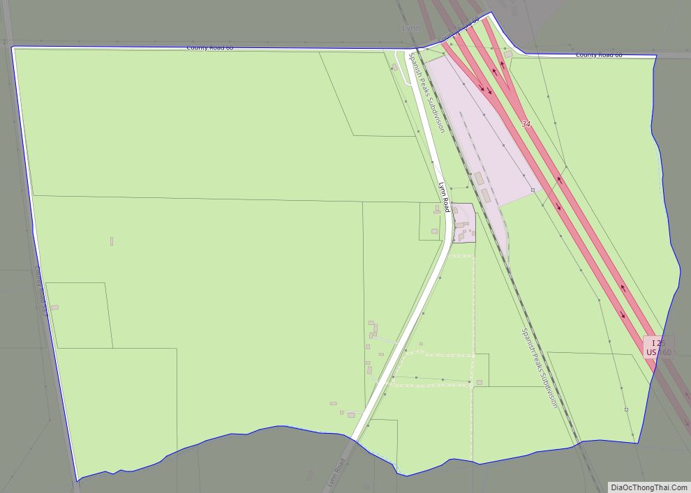
Online Interactive Map
Click on ![]() to view map in "full screen" mode.
to view map in "full screen" mode.
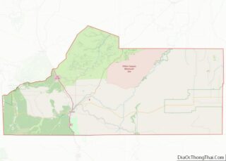
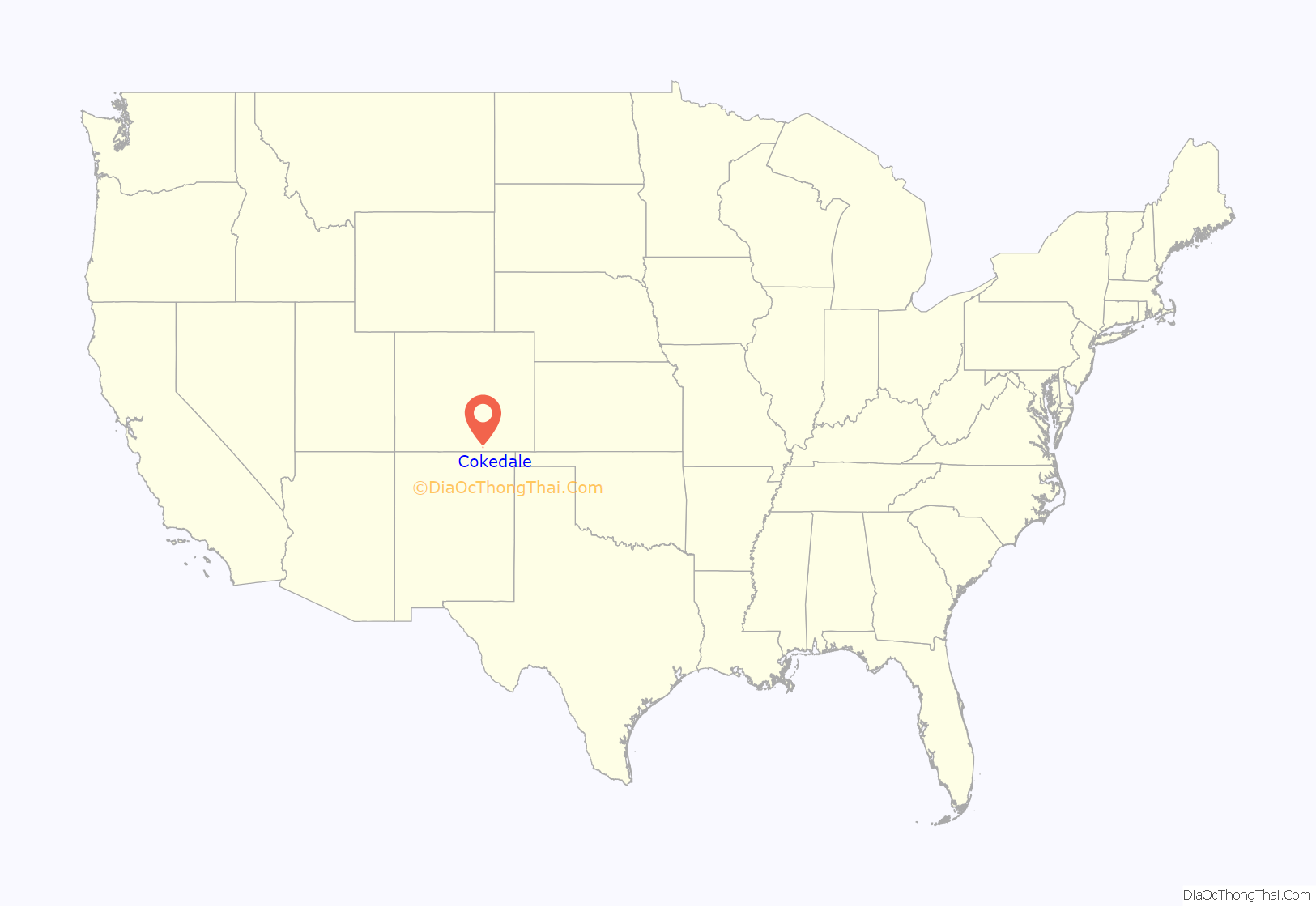
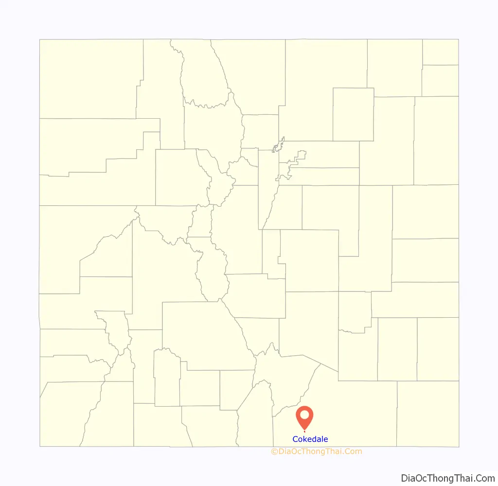
Cokedale location map. Where is Cokedale town?
History
Cokedale is a former coal mining town. The mine shut down in 1947. The town was 5 miles away from the epicenter of a 5.3 earthquake on August 23, 2011.
Much of the town is included in the Cokedale Historic District, which is listed on the National Register of Historic Places.
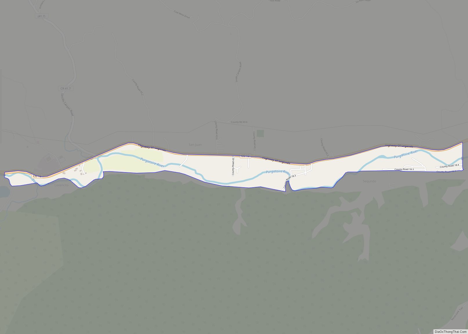
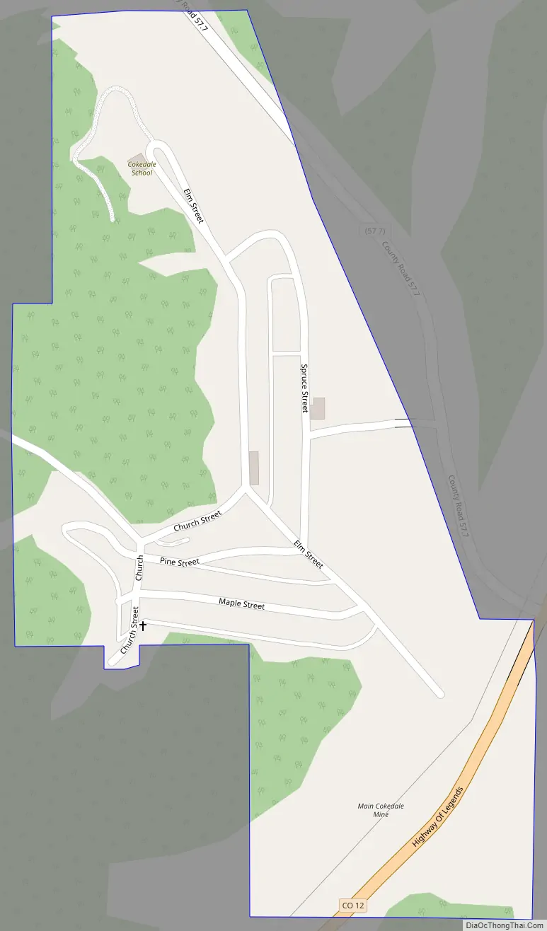
Cokedale Road Map
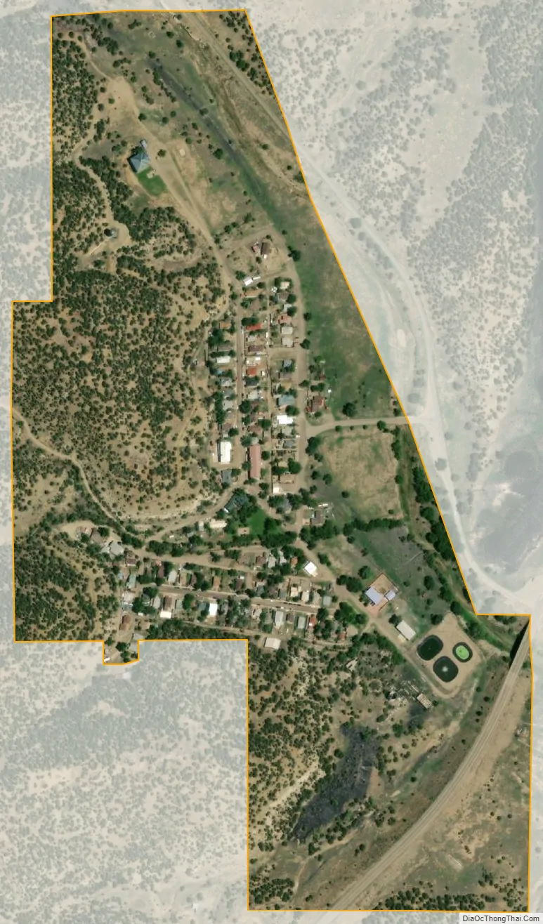
Cokedale city Satellite Map
Geography
Cokedale is located at 37°8′40″N 104°37′16″W / 37.14444°N 104.62111°W / 37.14444; -104.62111 (37.144508, -104.621224).
At the 2020 United States Census, the town had a total area of 131 acres (0.531 km), all of it land.
See also
Map of Colorado State and its subdivision:- Adams
- Alamosa
- Arapahoe
- Archuleta
- Baca
- Bent
- Boulder
- Broomfield
- Chaffee
- Cheyenne
- Clear Creek
- Conejos
- Costilla
- Crowley
- Custer
- Delta
- Denver
- Dolores
- Douglas
- Eagle
- El Paso
- Elbert
- Fremont
- Garfield
- Gilpin
- Grand
- Gunnison
- Hinsdale
- Huerfano
- Jackson
- Jefferson
- Kiowa
- Kit Carson
- La Plata
- Lake
- Larimer
- Las Animas
- Lincoln
- Logan
- Mesa
- Mineral
- Moffat
- Montezuma
- Montrose
- Morgan
- Otero
- Ouray
- Park
- Phillips
- Pitkin
- Prowers
- Pueblo
- Rio Blanco
- Rio Grande
- Routt
- Saguache
- San Juan
- San Miguel
- Sedgwick
- Summit
- Teller
- Washington
- Weld
- Yuma
- Alabama
- Alaska
- Arizona
- Arkansas
- California
- Colorado
- Connecticut
- Delaware
- District of Columbia
- Florida
- Georgia
- Hawaii
- Idaho
- Illinois
- Indiana
- Iowa
- Kansas
- Kentucky
- Louisiana
- Maine
- Maryland
- Massachusetts
- Michigan
- Minnesota
- Mississippi
- Missouri
- Montana
- Nebraska
- Nevada
- New Hampshire
- New Jersey
- New Mexico
- New York
- North Carolina
- North Dakota
- Ohio
- Oklahoma
- Oregon
- Pennsylvania
- Rhode Island
- South Carolina
- South Dakota
- Tennessee
- Texas
- Utah
- Vermont
- Virginia
- Washington
- West Virginia
- Wisconsin
- Wyoming