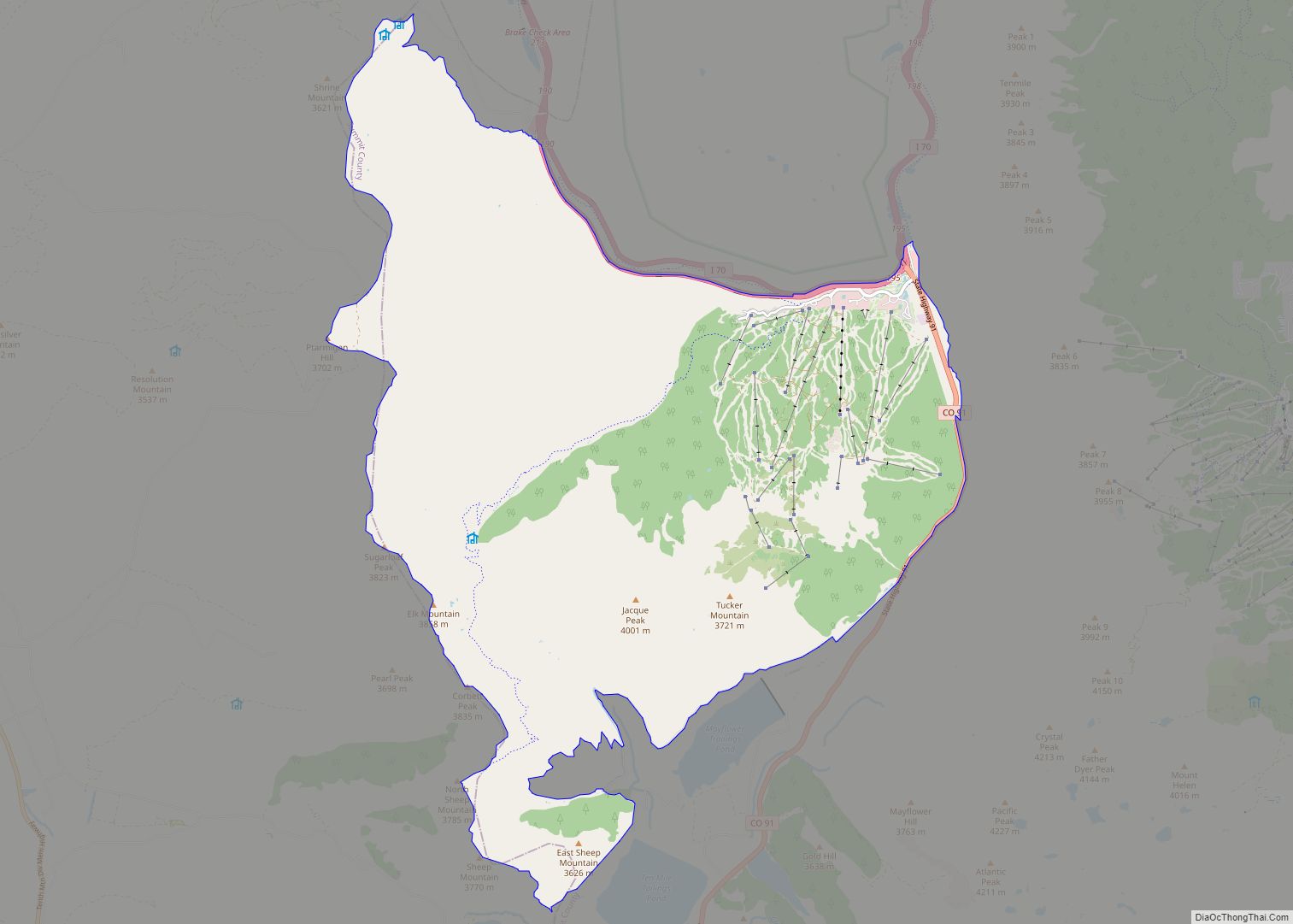
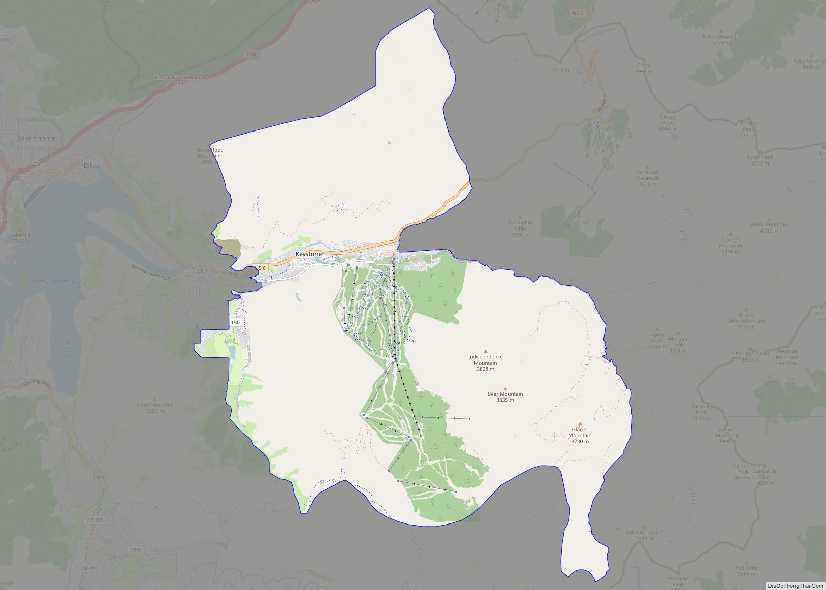
Copper Mountain is an unincorporated community and a census-designated place (CDP) located in and governed by Summit County, Colorado, United States. The CDP is a part of the Breckenridge, CO Micropolitan Statistical Area. The population of the Copper Mountain CDP was 650 at the United States Census 2020. The Copper Mountain Consolidated Metropolitan District provides services. The Frisco post office (Zip Code 80443) serves the area. The Copper Mountain CDP includes the Copper Mountain Ski Resort and Copper Mountain village.
| Name: | Copper Mountain CDP |
|---|---|
| LSAD Code: | 57 |
| LSAD Description: | CDP (suffix) |
| State: | Colorado |
| County: | Summit County |
| Elevation: | 11,368 ft (3,465 m) |
| Total Area: | 32.058 sq mi (83.030 km²) |
| Land Area: | 32.058 sq mi (83.030 km²) |
| Water Area: | 0.000 sq mi (0.000 km²) |
| Total Population: | 650 |
| Population Density: | 20/sq mi (7.8/km²) |
| ZIP code: | Frisco 80443 |
| Area code: | 970 |
| FIPS code: | 0817150 |
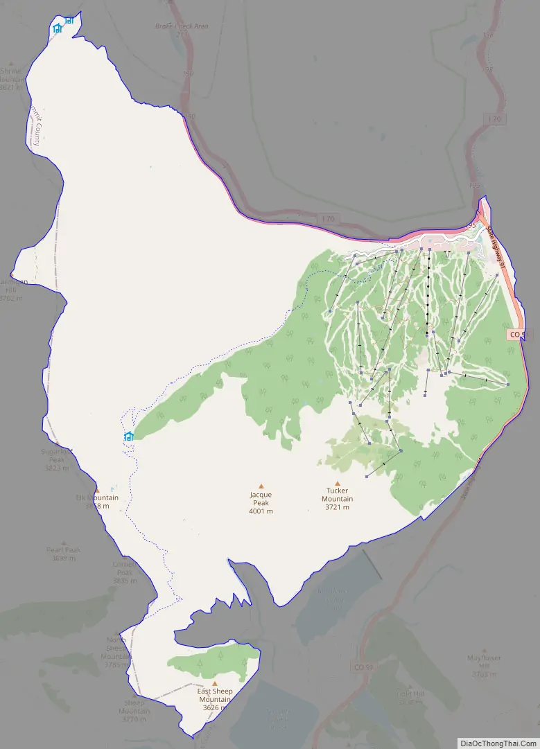
Online Interactive Map
Click on ![]() to view map in "full screen" mode.
to view map in "full screen" mode.
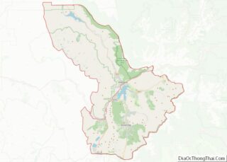
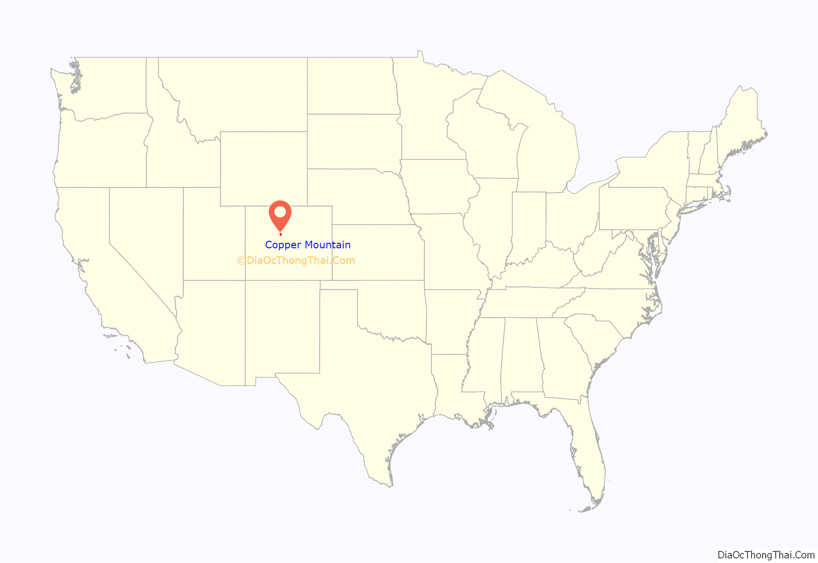
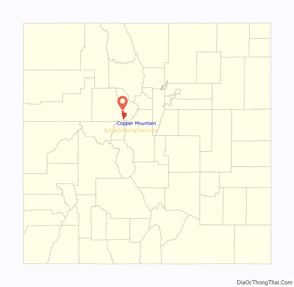
Copper Mountain location map. Where is Copper Mountain CDP?
History
Copper Mountain was originally named “Wheeler” for a local judge and developer, and it has also been known as “Wheeler Station” in the past. The naming question was settled by a decision from the Board on Geographic Names, which ruled in favor of “Copper Mountain” in 1977.
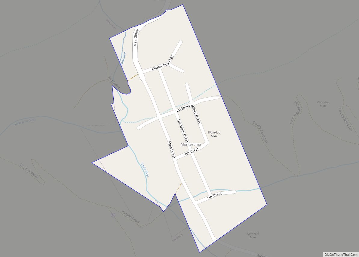
Copper Mountain Road Map
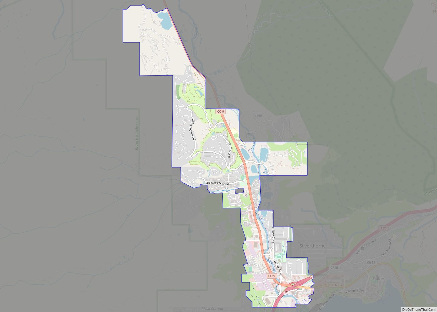
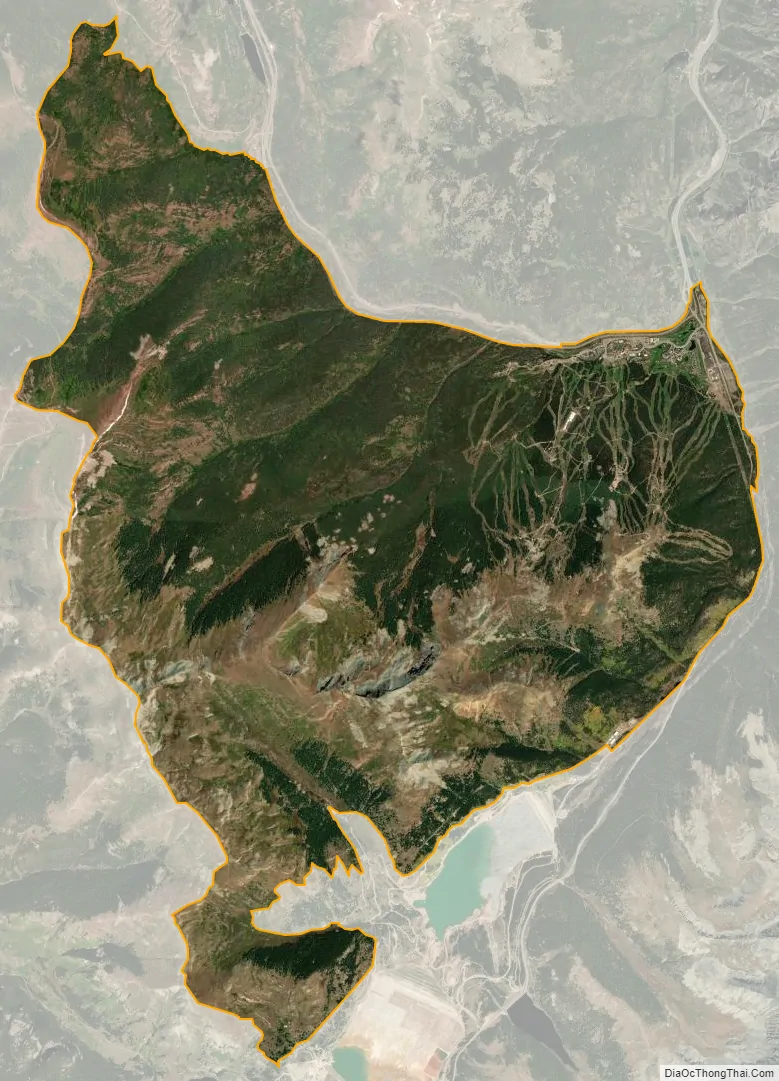
Copper Mountain city Satellite Map
Geography
Copper Mountain is located approximately 20 miles (32 km) north-northeast of Leadville in the White River National Forest. Copper Mountain village has an elevation of 9,695 feet (2,955 m).
The Copper Mountain CDP has an area of 20,517 acres (83.030 km), all land.
See also
Map of Colorado State and its subdivision:- Adams
- Alamosa
- Arapahoe
- Archuleta
- Baca
- Bent
- Boulder
- Broomfield
- Chaffee
- Cheyenne
- Clear Creek
- Conejos
- Costilla
- Crowley
- Custer
- Delta
- Denver
- Dolores
- Douglas
- Eagle
- El Paso
- Elbert
- Fremont
- Garfield
- Gilpin
- Grand
- Gunnison
- Hinsdale
- Huerfano
- Jackson
- Jefferson
- Kiowa
- Kit Carson
- La Plata
- Lake
- Larimer
- Las Animas
- Lincoln
- Logan
- Mesa
- Mineral
- Moffat
- Montezuma
- Montrose
- Morgan
- Otero
- Ouray
- Park
- Phillips
- Pitkin
- Prowers
- Pueblo
- Rio Blanco
- Rio Grande
- Routt
- Saguache
- San Juan
- San Miguel
- Sedgwick
- Summit
- Teller
- Washington
- Weld
- Yuma
- Alabama
- Alaska
- Arizona
- Arkansas
- California
- Colorado
- Connecticut
- Delaware
- District of Columbia
- Florida
- Georgia
- Hawaii
- Idaho
- Illinois
- Indiana
- Iowa
- Kansas
- Kentucky
- Louisiana
- Maine
- Maryland
- Massachusetts
- Michigan
- Minnesota
- Mississippi
- Missouri
- Montana
- Nebraska
- Nevada
- New Hampshire
- New Jersey
- New Mexico
- New York
- North Carolina
- North Dakota
- Ohio
- Oklahoma
- Oregon
- Pennsylvania
- Rhode Island
- South Carolina
- South Dakota
- Tennessee
- Texas
- Utah
- Vermont
- Virginia
- Washington
- West Virginia
- Wisconsin
- Wyoming